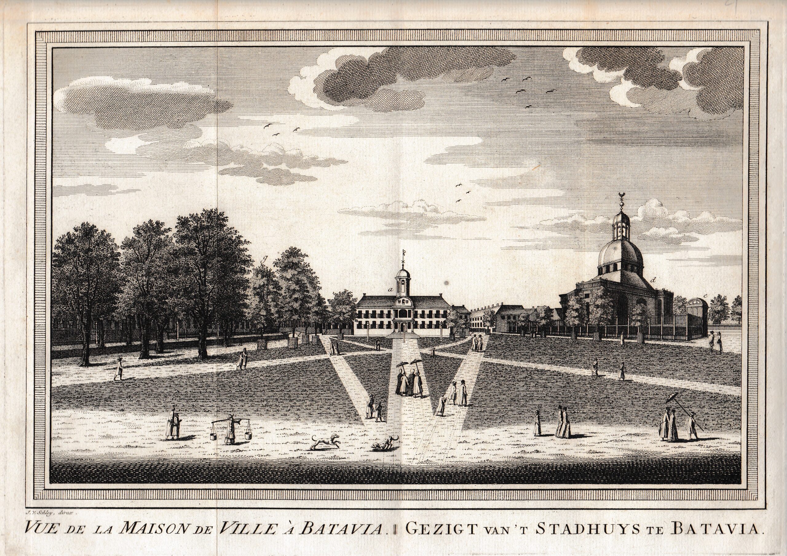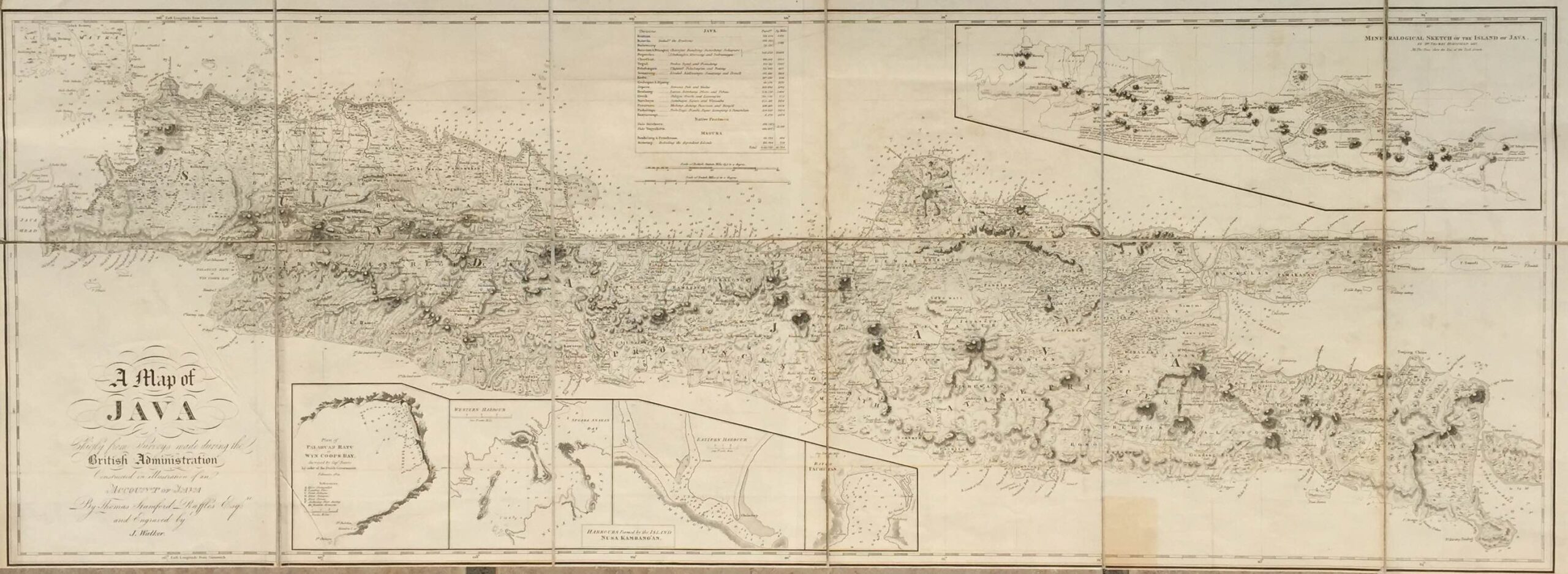
Description
Antique Map Java by Raffles titled ‘A Map of JAVA Chiefly from surveys made during the British Administration Constructed in illustration of an ACCOUNT OF JAVA By Thomas Stamford Raffles Esq: re and Engraved by J. Walker:’.
The very rare and magnificent early 19th century map of Java engraved by John Walker (1759 – 1830) and produced by Stamford Raffles, Lieutenant Governor of Java from 11th September 1811 to 15th March 1816 during the period known as the British Administration, to accompany his monumental two-volume History of Java published in 1817. The map shows Java at a level of detail never achieved before on the 18th century maps of the island produced at a similar scale by Châtelain, Valentyn and Van Keulen. Raffle’s map represents the new genre of cartography with its ‘modern’ appearance, attention to detail and lack of decoration. Gone are the elaborate cartouche and naturalistic drawings of plantations, animals and trees, to be replaced with ‘Ordnance Survey’ type symbols for swamps and forests, hachuring of mountains and small, neat script for place names. The map is multi-themed in that it provides, in addition to topographical information, inset maps of major anchorages and bays with soundings marked and, in the northeat quadrant of the map, there is a ‘Mineralogical Sketch of the Island of Java’ compiled in 1812 by Dr. Thomas Horsfield, the American naturalist and a friend and colleague of Raffles.
Good condition apart from some strengthening of the muslin cloth-covered folds on the reverse of the map with archival tape; measures 417 x 1,150 mm.
Purchase Code: M1041
SOLD