Skip to content
Maps of Asia
Dutch East Indies
Jakarta Collection
Visit Us
Contact
Shop Online Worldwide
Shop Online Worldwide
Main Menu
Maps of Asia
Dutch East Indies
Jakarta Collection
Visit Us
Contact
Home
/
Antique Maps, Plans & Charts
/
Asia
/
Indonesia
/ Page 44
Indonesia
Showing 517–528 of 532 results
Default sorting
Sort by popularity
Sort by latest
Sort by price: low to high
Sort by price: high to low
Antique Maps, Plans & Charts
Toekang pakean-Kleermaker – Van der Heijden (1909)
Antique Maps, Plans & Charts
Toekang penatoe-Waschman – Van der Heijden (1909)
Antique Maps, Plans & Charts
Toekang tjoekoer-Barbier – Van der Heijden (1909)
Antique Maps, Plans & Charts
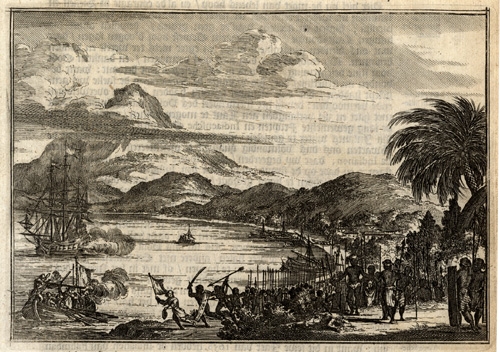
Twee schepen voor Palimban door de Indianen bespongen (..) – Schouten (1708)
Antique Maps, Plans & Charts
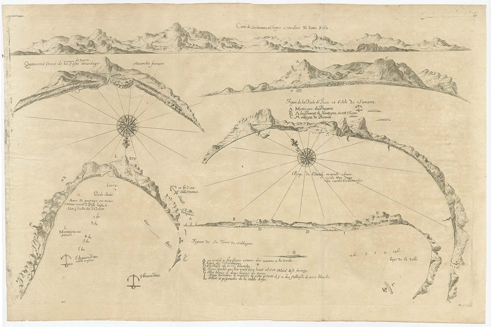
Untitled Chart of Table Bay and the Bay of Saldagne -Thevenot (c.1660)
Antique Maps, Plans & Charts
Untitled Print of a Boat near Macassar – Valentijn (1726)
Antique Maps, Plans & Charts
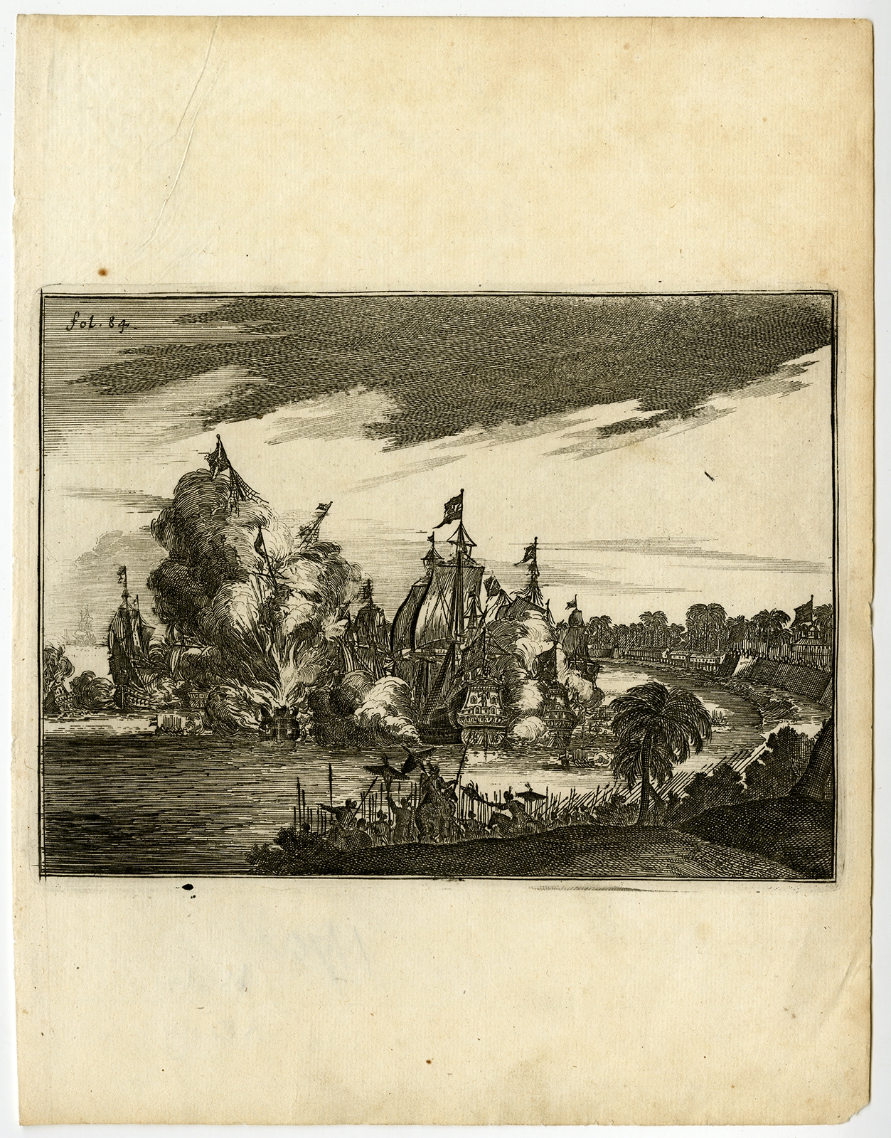
Victorieuse Batalie der Hollanders – Schouten (1708)
Antique Maps, Plans & Charts
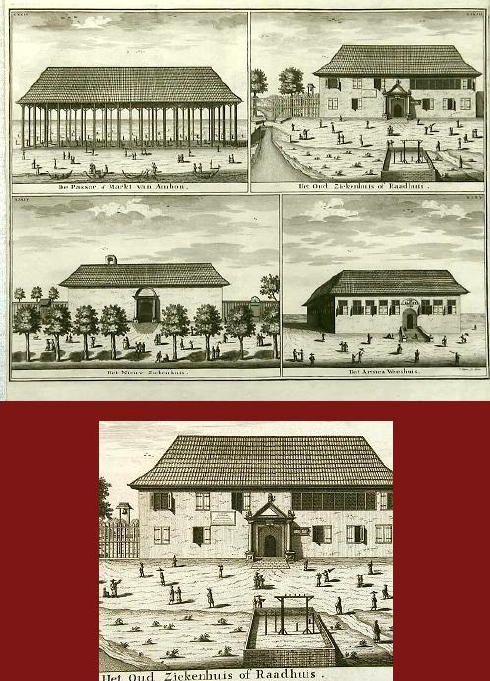
Views Passar, Hospital and Orphanage at Ambon – Valentijn (1726)
Antique Maps, Plans & Charts
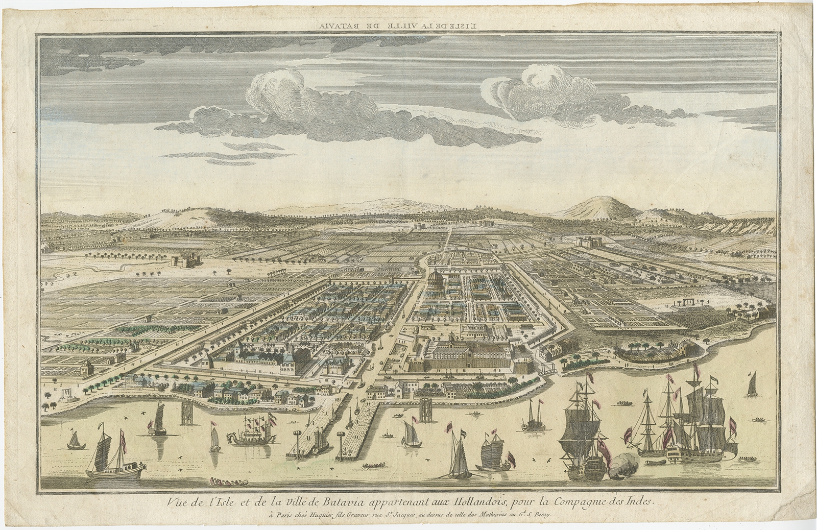
Vue de l’Isle et de la Ville de Batavia (..) – Huquier (c.1755)
Antique Maps, Plans & Charts
Vue de la Batterie Anjol – Schley (1750)
Antique Maps, Plans & Charts
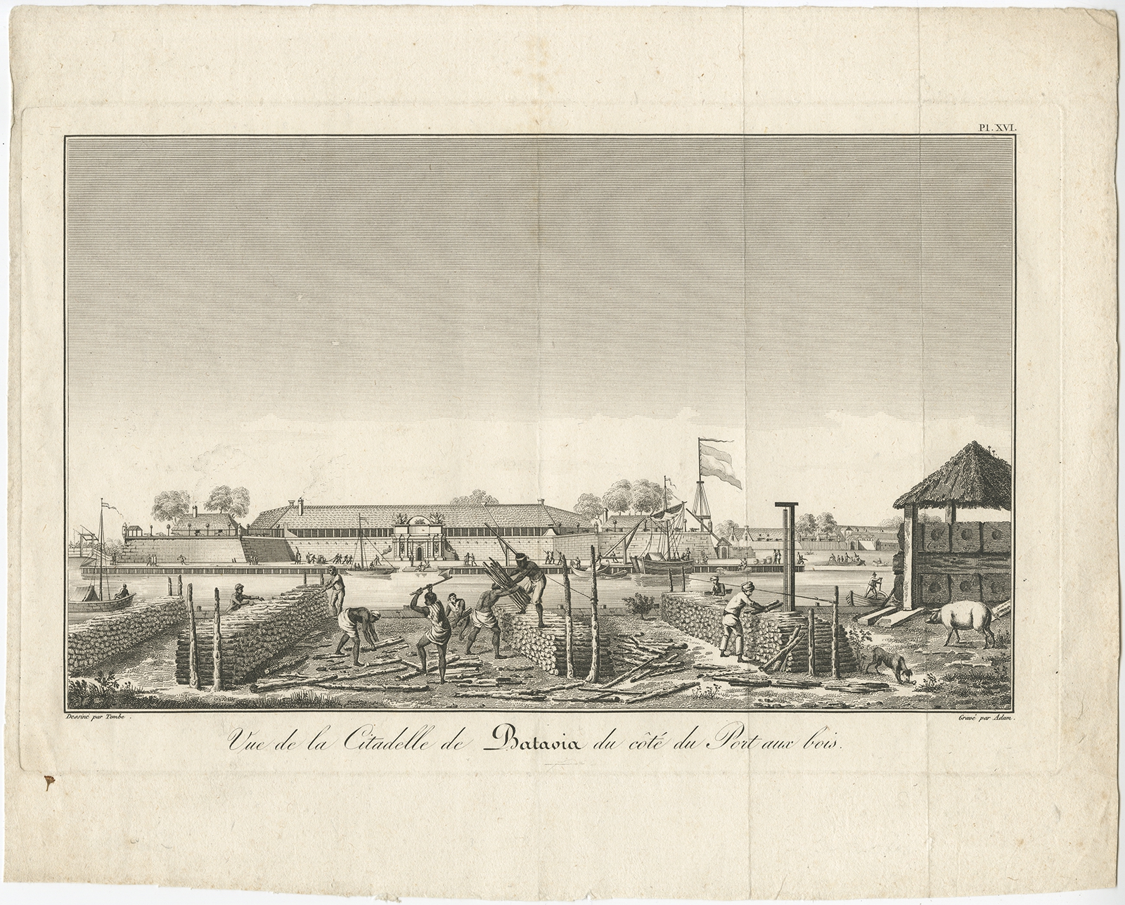
Vue de la Citadelle de Batavia (..) – Bertrand (1810)
←
1
2
3
…
41
42
43
44
45
→
Visit Gallery
WhatsApp
Shop Online
Location
Scroll to Top