Skip to content
Maps of Asia
Dutch East Indies
Jakarta Collection
Visit Us
Contact
Shop Online Worldwide
Shop Online Worldwide
Main Menu
Maps of Asia
Dutch East Indies
Jakarta Collection
Visit Us
Contact
Home
/
Antique Maps, Plans & Charts
/
Asia
/
Indonesia
/ Sumatra
Sumatra
Showing 1–12 of 59 results
Default sorting
Sort by popularity
Sort by latest
Sort by price: low to high
Sort by price: high to low
Antique Maps, Plans & Charts
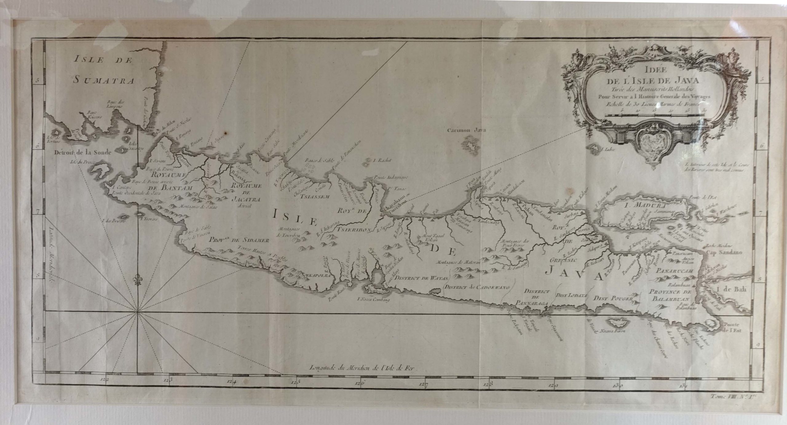
Antique Map of Java by Bellin (c.1760)
Antique Maps, Plans & Charts
Antique Map of Java by Chatelain, ‘1719’
Antique Maps, Plans & Charts
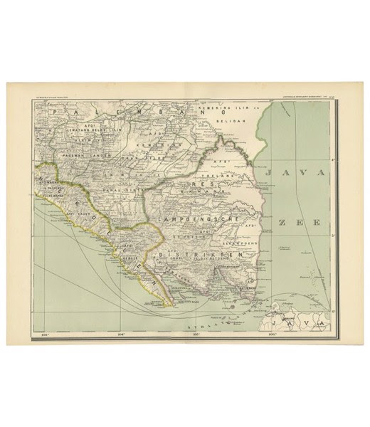
Antique Map of Lampung region in Sumatra – Dornseiffen (c.1900)
Antique Maps, Plans & Charts
Antique Map of South-East Asia by Nolin and Coronelli (1742)
Antique Maps, Plans & Charts
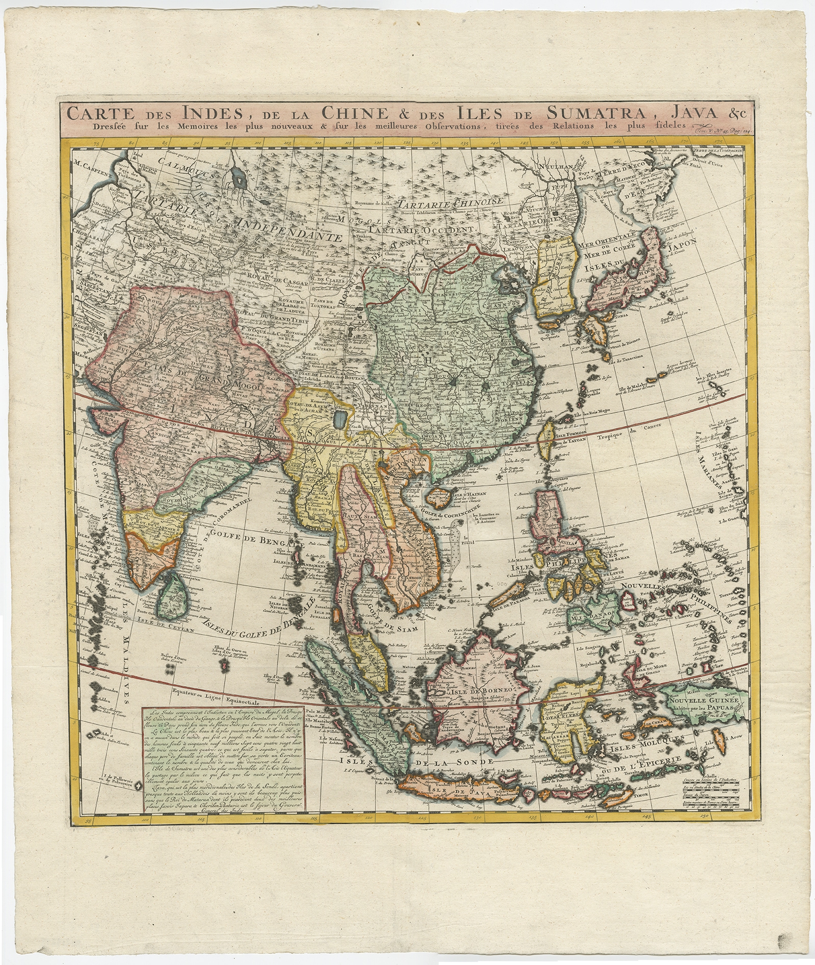
Antique Map of Southeast Asia by Chatelain (1719)
Antique Maps, Plans & Charts
Antique Map of Southern India by Bonne (1770)
Antique Maps, Plans & Charts
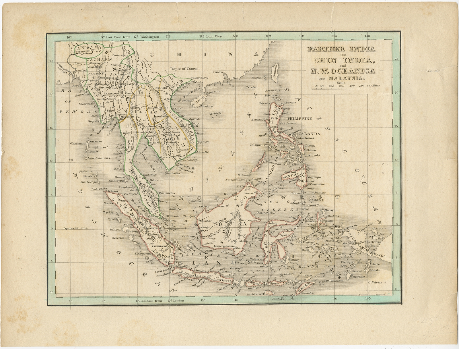
Antique Map of the East Indies and Southeast Asia by Bradford (1835)
Antique Maps, Plans & Charts
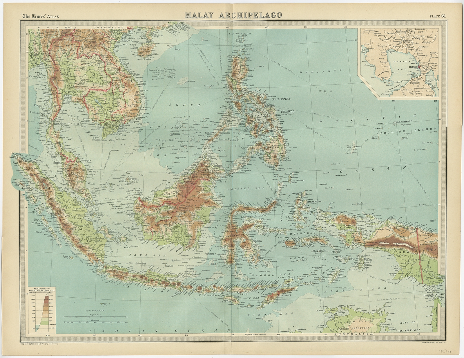
Antique Map of the Malay Archipelago by Bartholomew (1922)
Antique Maps, Plans & Charts
Antique Print of a House in Oleh-Leh ‘Aceh’ by Perelaer (1888)
Antique Maps, Plans & Charts
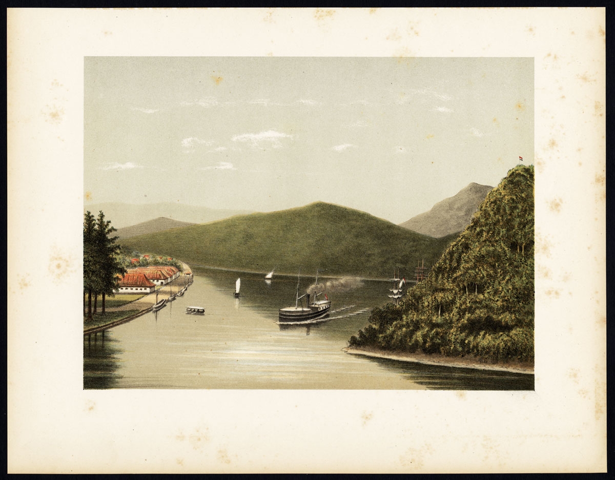
Antique Print of a Steamship at the Legundi Strait by Perelaer (1888)
Antique Maps, Plans & Charts
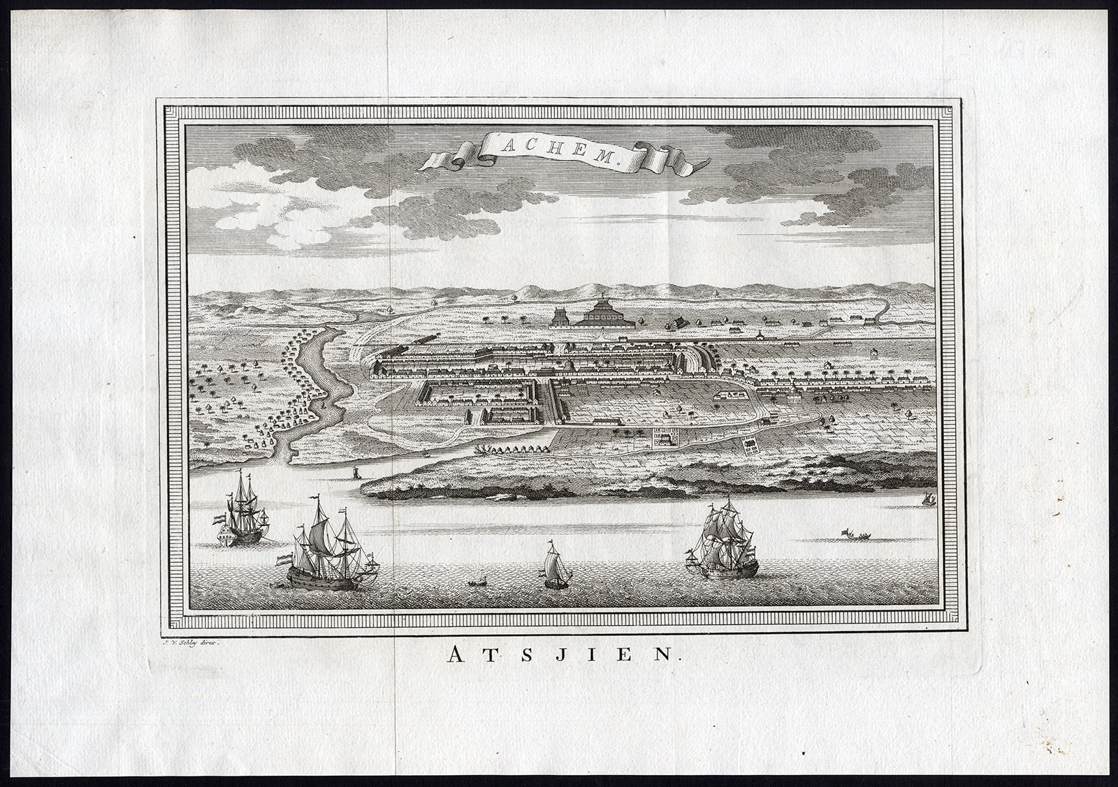
Antique Print of Atjeh by Van der Schley (1756)
Antique Maps, Plans & Charts
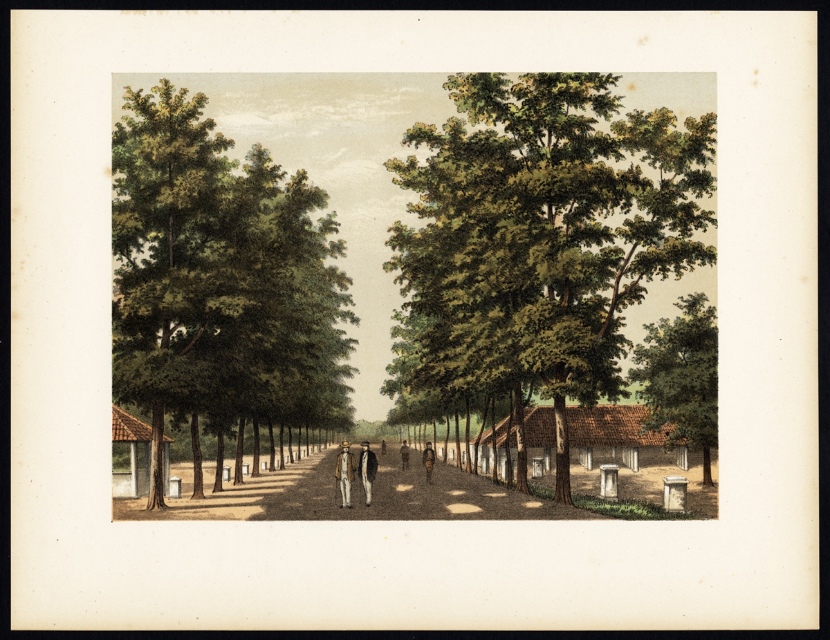
Antique Print of Avenue Paja Koembah by Perelaer (1888)
1
2
3
4
5
→
Visit Gallery
WhatsApp
Shop Online
Location
Scroll to Top