Skip to content
Maps of Asia
Dutch East Indies
Jakarta Collection
Visit Us
Contact
Shop Online Worldwide
Shop Online Worldwide
Main Menu
Maps of Asia
Dutch East Indies
Jakarta Collection
Visit Us
Contact
Home
/
Antique Maps, Plans & Charts
/
Asia
/ Page 22
Asia
Showing 253–264 of 953 results
Default sorting
Sort by popularity
Sort by latest
Sort by price: low to high
Sort by price: high to low
Antique Maps, Plans & Charts
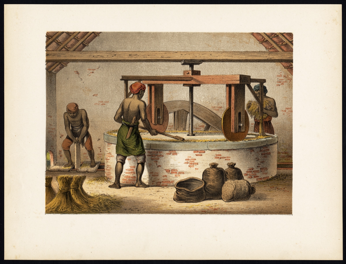
Antique Print of a Mill for Rice Peeling by Perelaer (1888)
Antique Maps, Plans & Charts
Antique Print of a Party in Batavia by Perelaer (1888)
Antique Maps, Plans & Charts
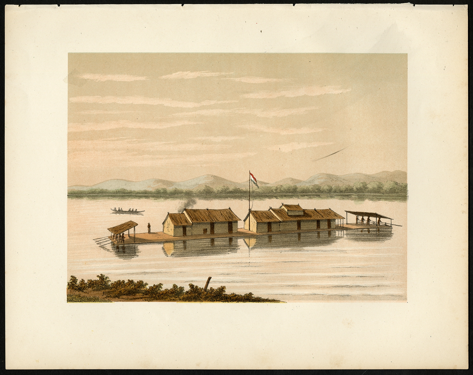
Antique Print of a Raft of the Dusun People by Perelaer (1888)
Antique Maps, Plans & Charts
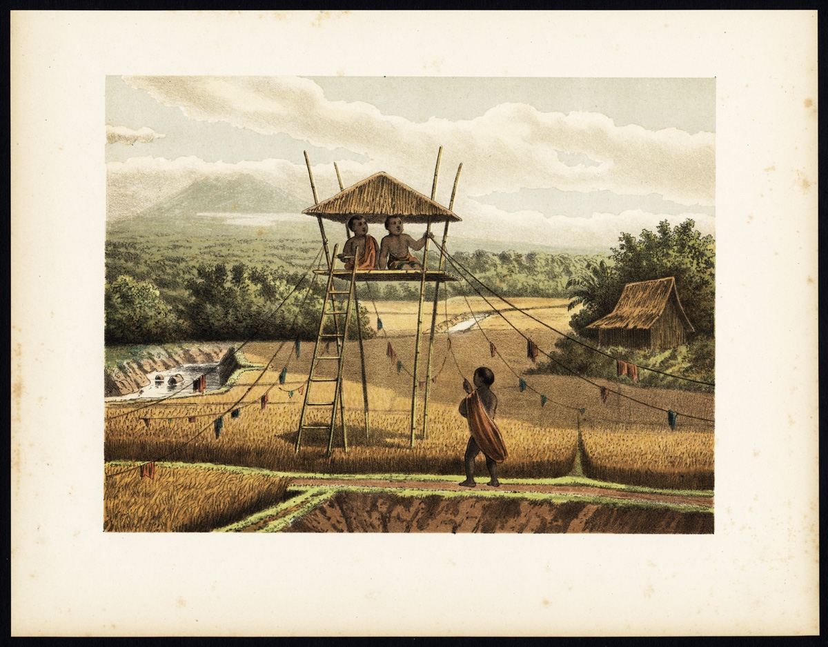
Antique Print of a Rice Field near Tempoeran (Java) by Perelaer (1888)
Antique Maps, Plans & Charts
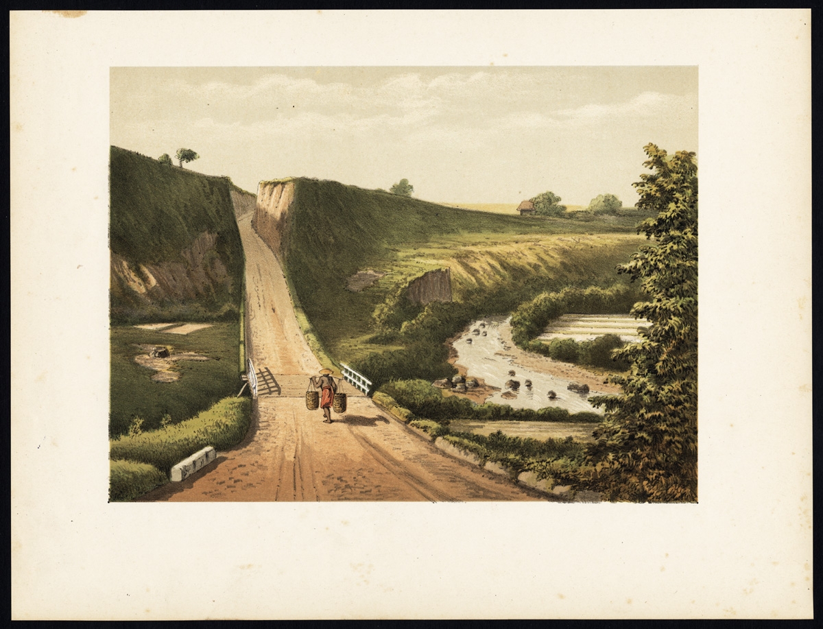
Antique Print of a Road near Cipanas (Java) by Perelaer (1888)
Antique Maps, Plans & Charts
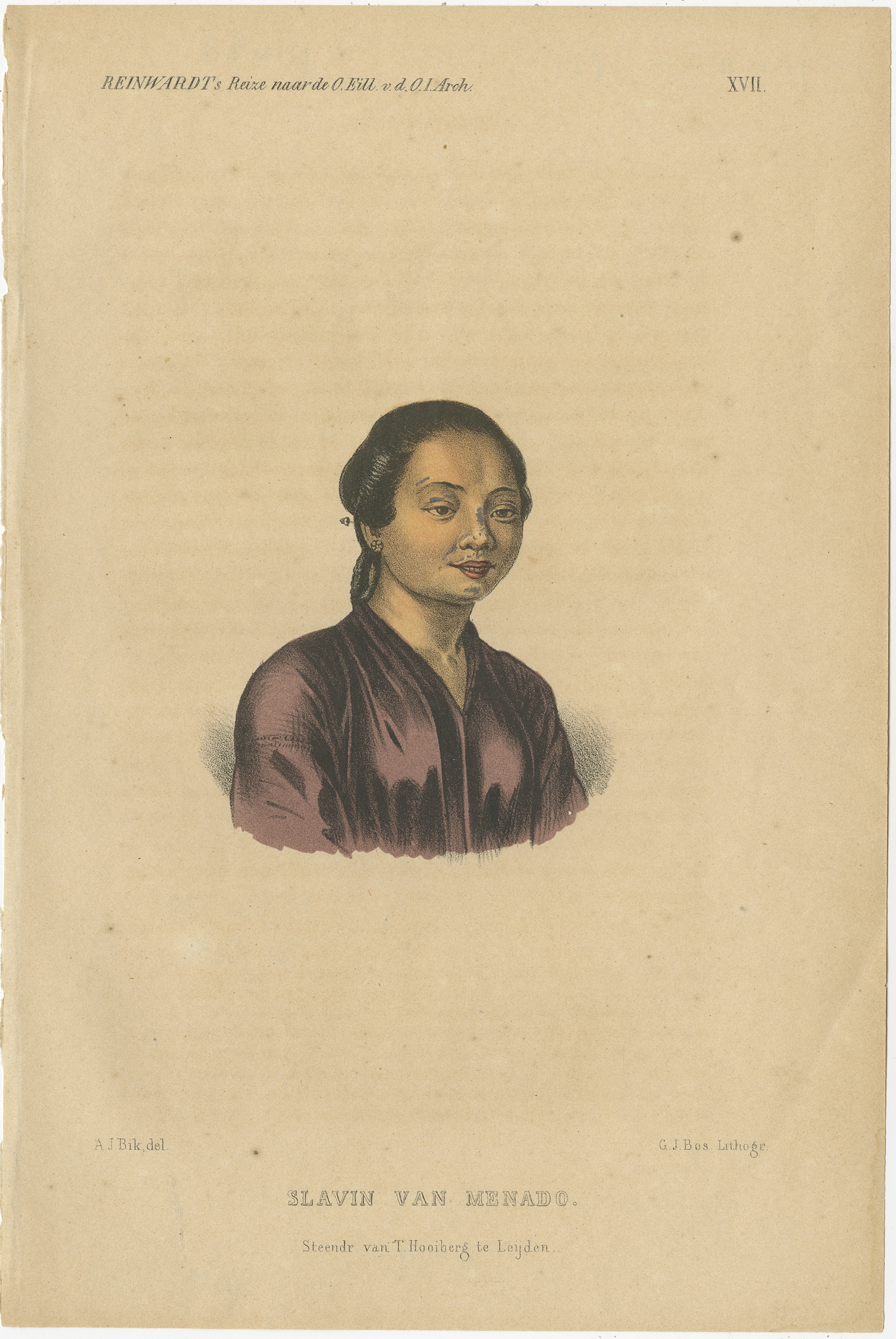
Antique Print of a Slave of Manado by Reinwardt (1858)
Antique Maps, Plans & Charts
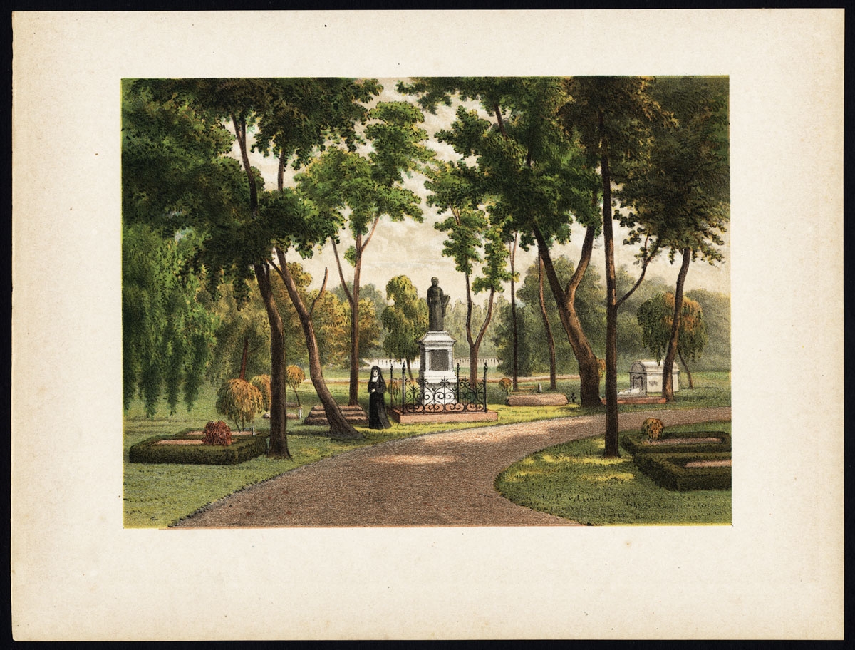
Antique Print of a Statue of a Roman Priest in Batavia by Perelaer (1888)
Antique Maps, Plans & Charts
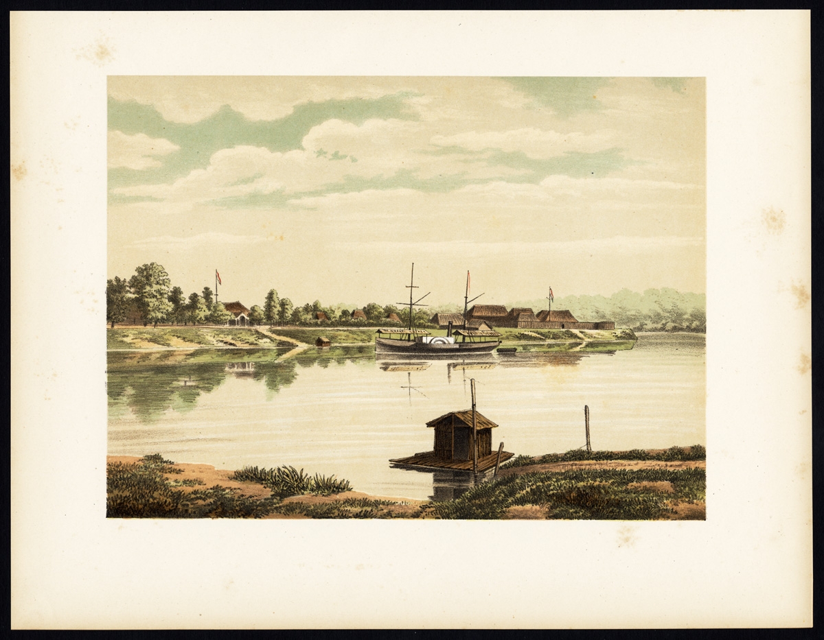
Antique Print of a Steamship at the Barito River by Perelaer (1888)
Antique Maps, Plans & Charts
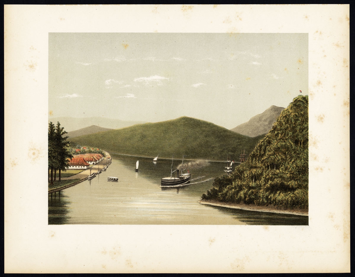
Antique Print of a Steamship at the Legundi Strait by Perelaer (1888)
Antique Maps, Plans & Charts
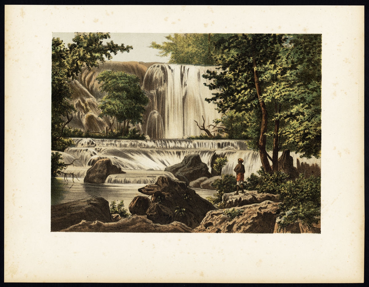
Antique Print of a Waterfall on Java by Perelaer (1888)
Antique Maps, Plans & Charts
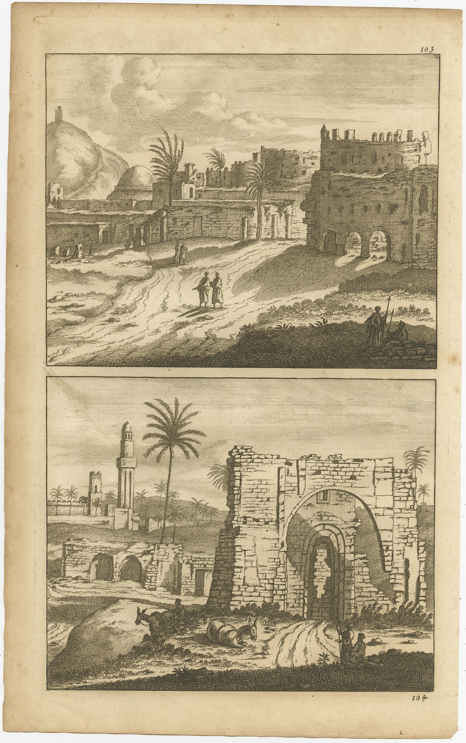
Antique Print of Alexandria by De Bruyn (1698)
Antique Maps, Plans & Charts
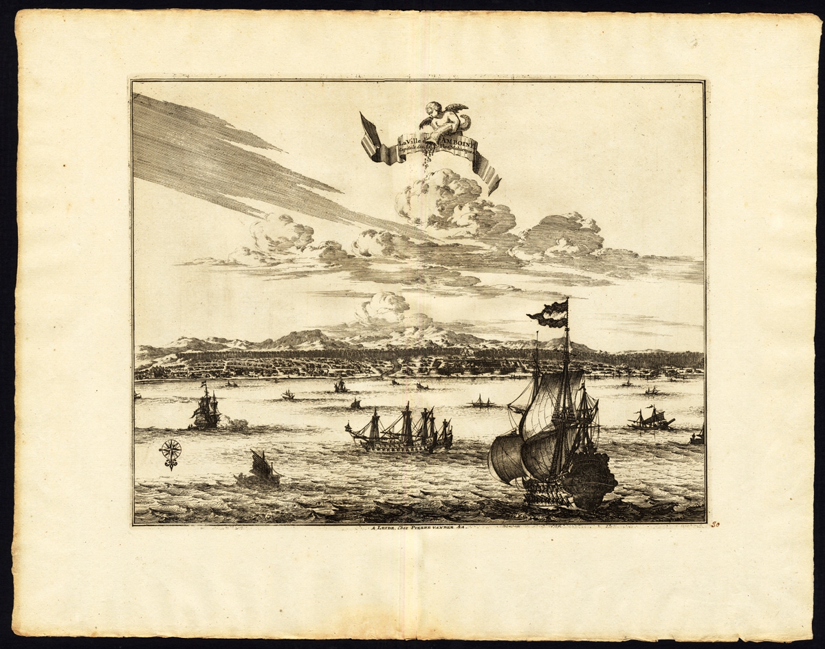
Antique Print of Amboina by Van der Aa (c.1725)
←
1
2
3
…
19
20
21
22
23
24
25
…
78
79
80
→
Visit Gallery
WhatsApp
Shop Online
Location
Scroll to Top