Skip to content
Maps of Asia
Dutch East Indies
Jakarta Collection
Visit Us
Contact
Shop Online Worldwide
Shop Online Worldwide
Main Menu
Maps of Asia
Dutch East Indies
Jakarta Collection
Visit Us
Contact
Home
/
Antique Maps, Plans & Charts
/
Asia
/ Page 51
Asia
Showing 601–612 of 955 results
Default sorting
Sort by popularity
Sort by latest
Sort by price: low to high
Sort by price: high to low
Antique Maps, Plans & Charts
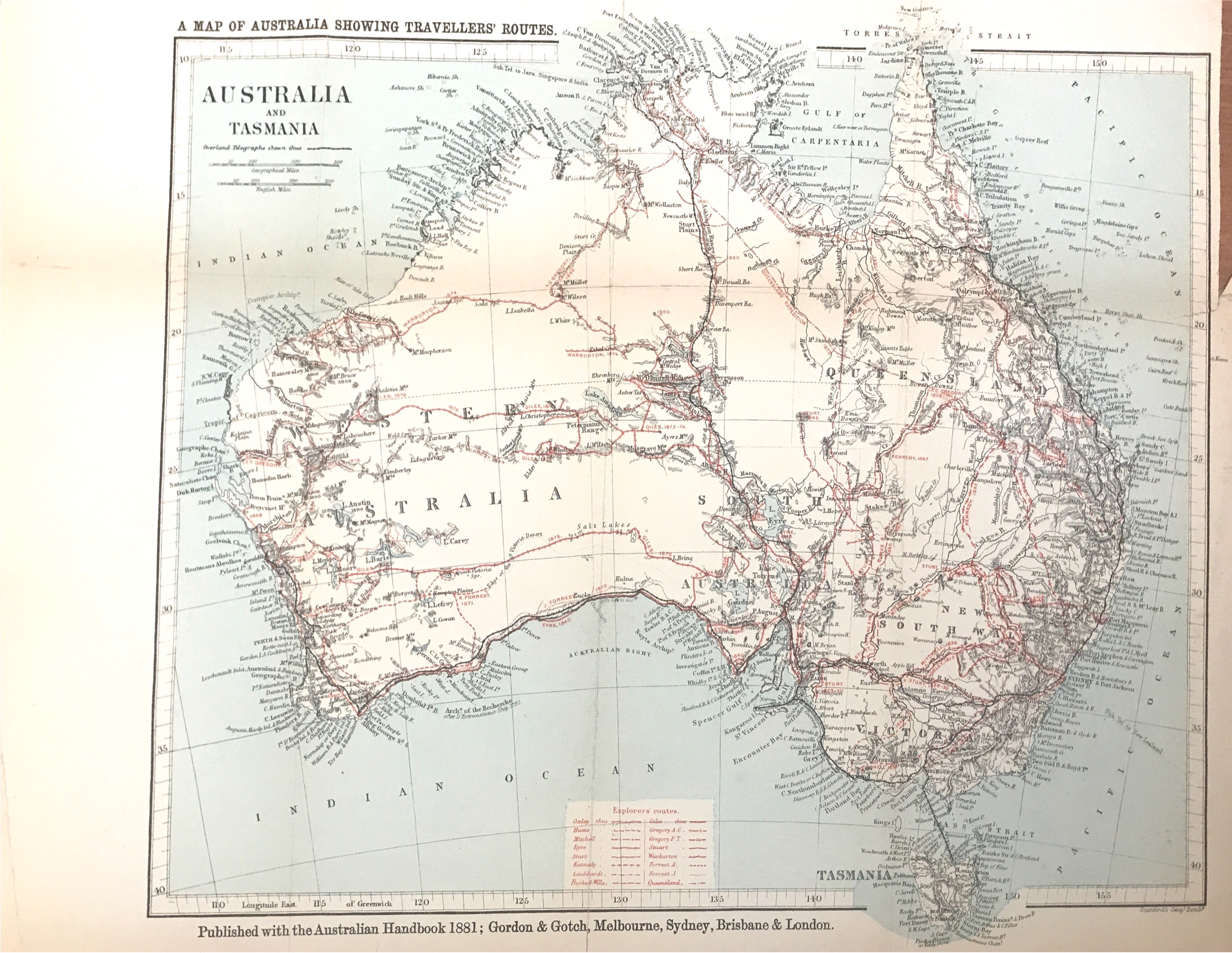
Map of Australia and Tasmania – Gordon & Gotch (1881)
Antique Maps, Plans & Charts
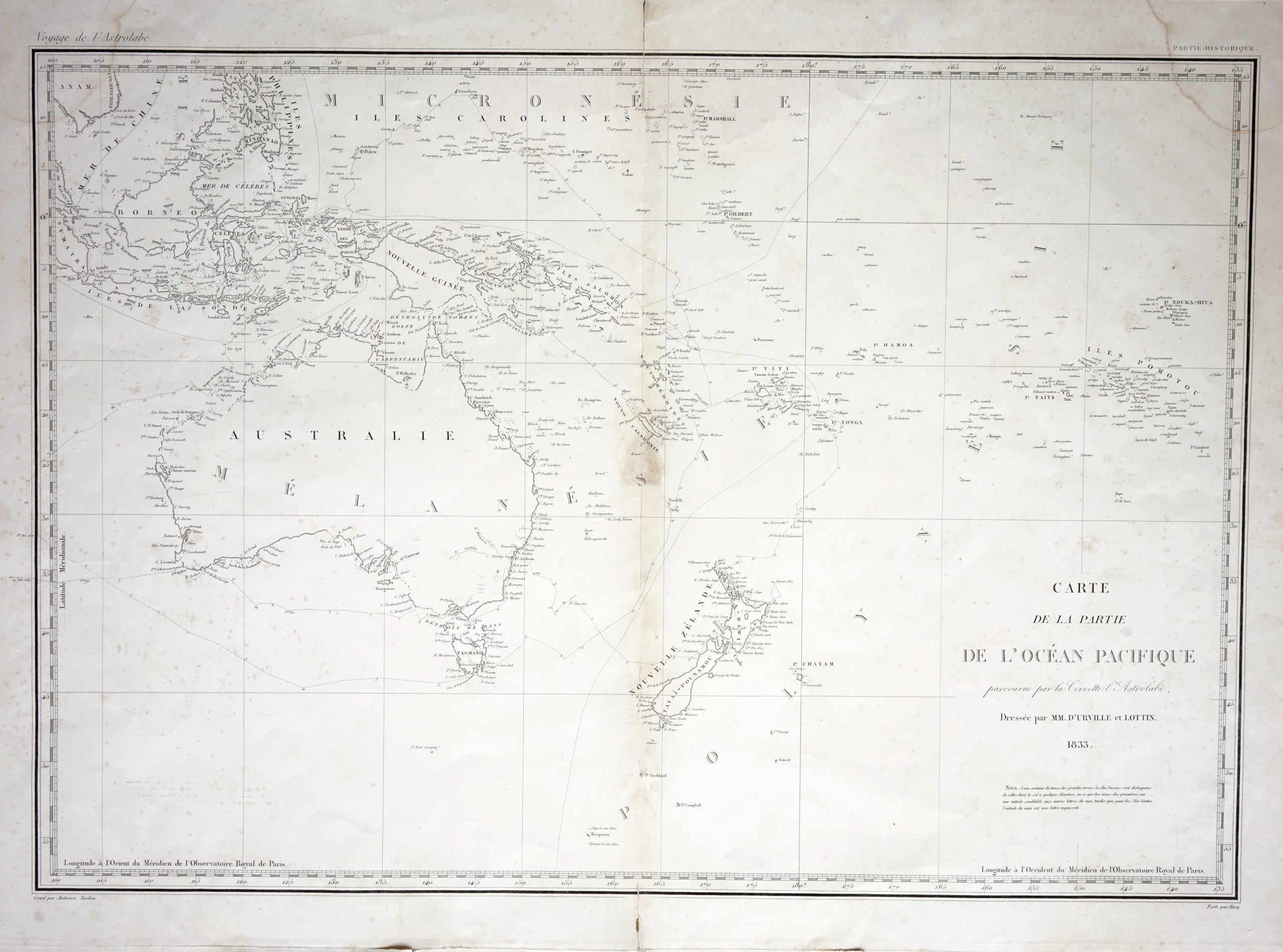
Map of Australia, New Zealand and the East Indian Islands – Tardieu (c.1833)
Antique Maps, Plans & Charts
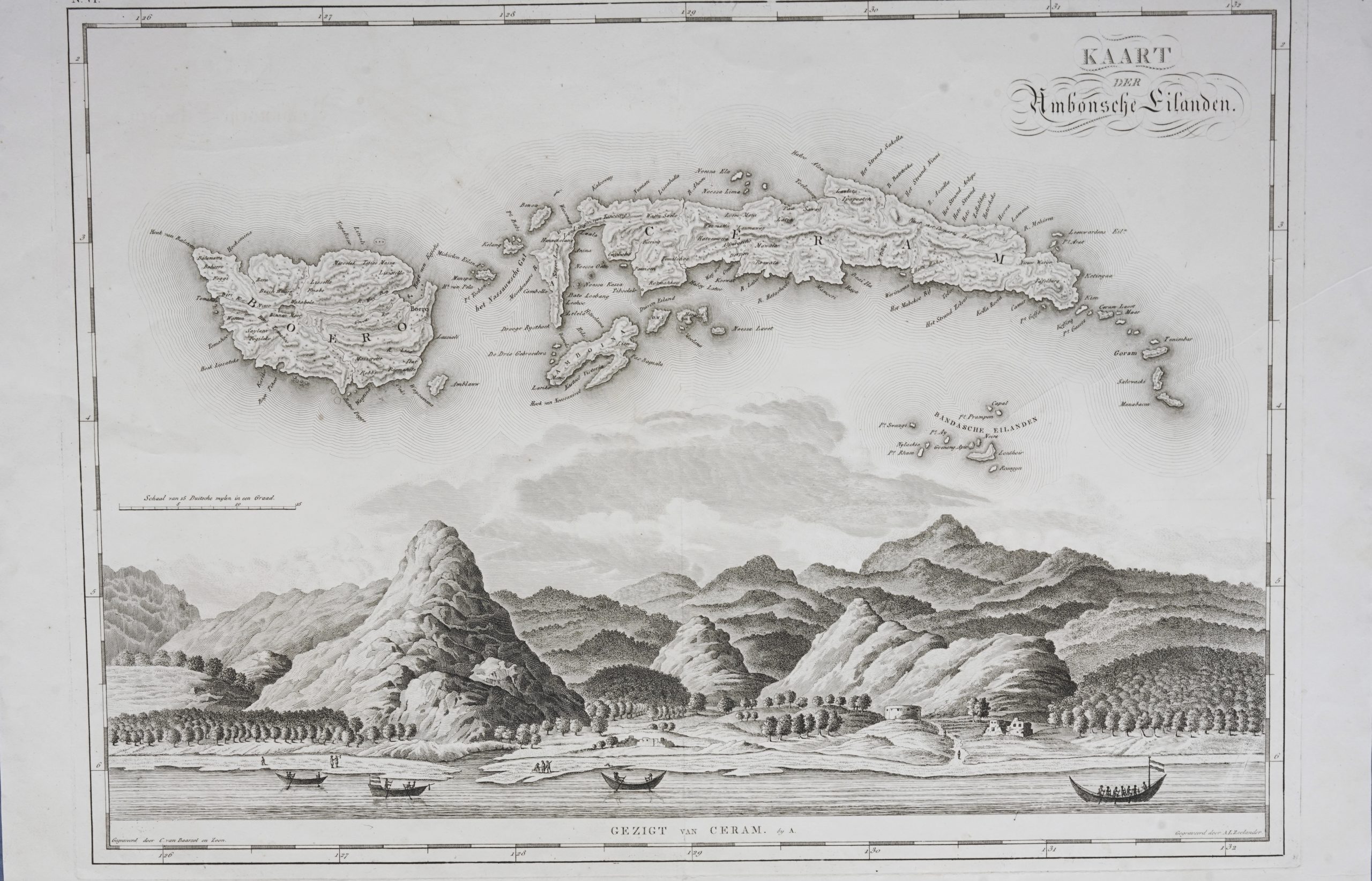
Map of Banda Islands and the Moluccas – van den Bosch & Baarsel (1818)
Antique Maps, Plans & Charts
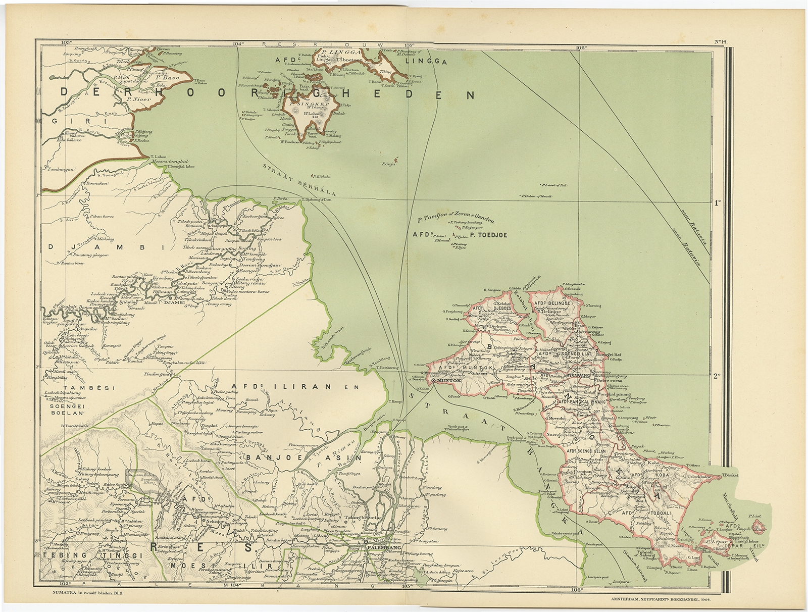
Map of Banyuasin Regency – Dornseiffen c.1900
Antique Maps, Plans & Charts
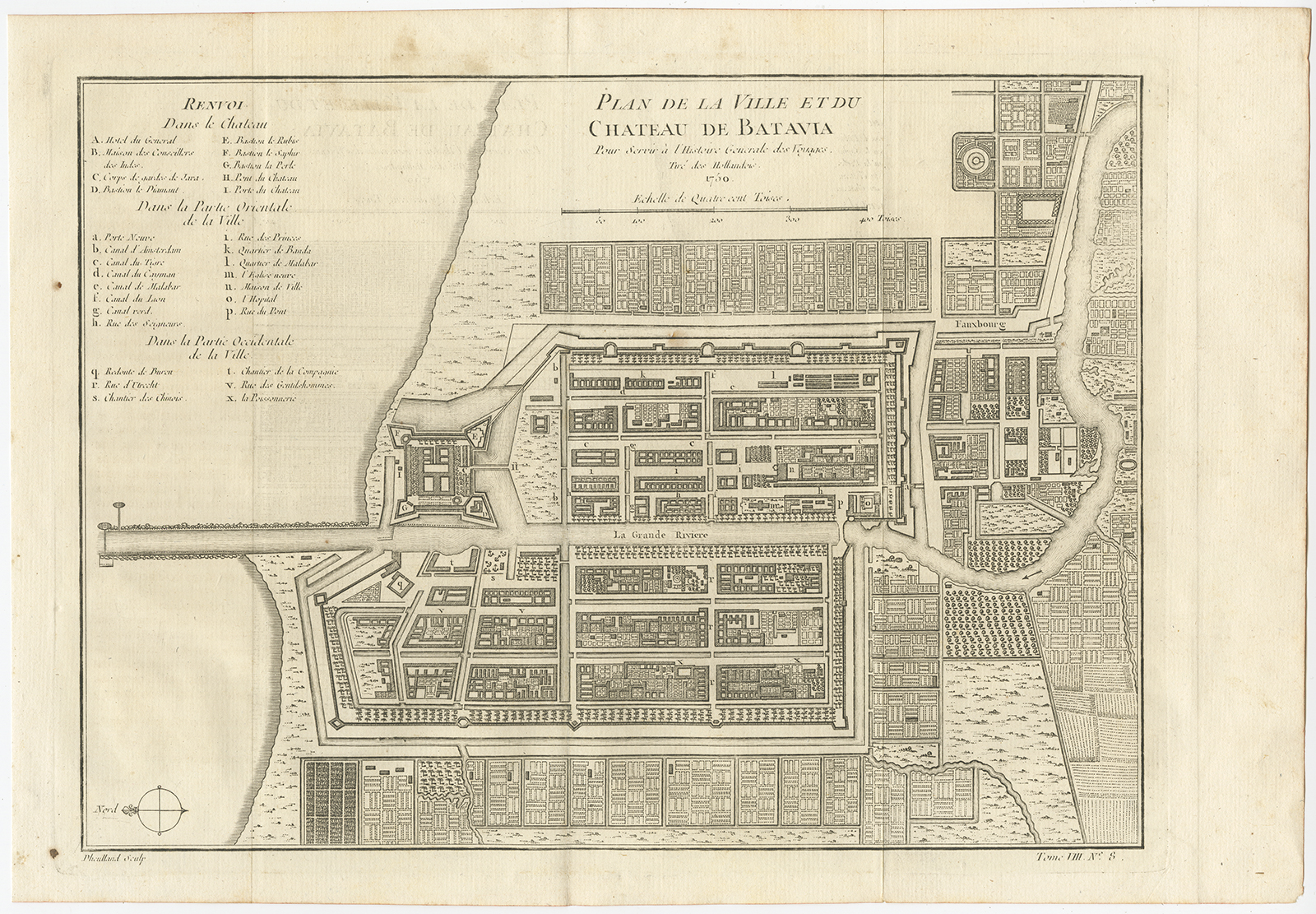
Map of Batavia – Bellin (1750)
Antique Maps, Plans & Charts
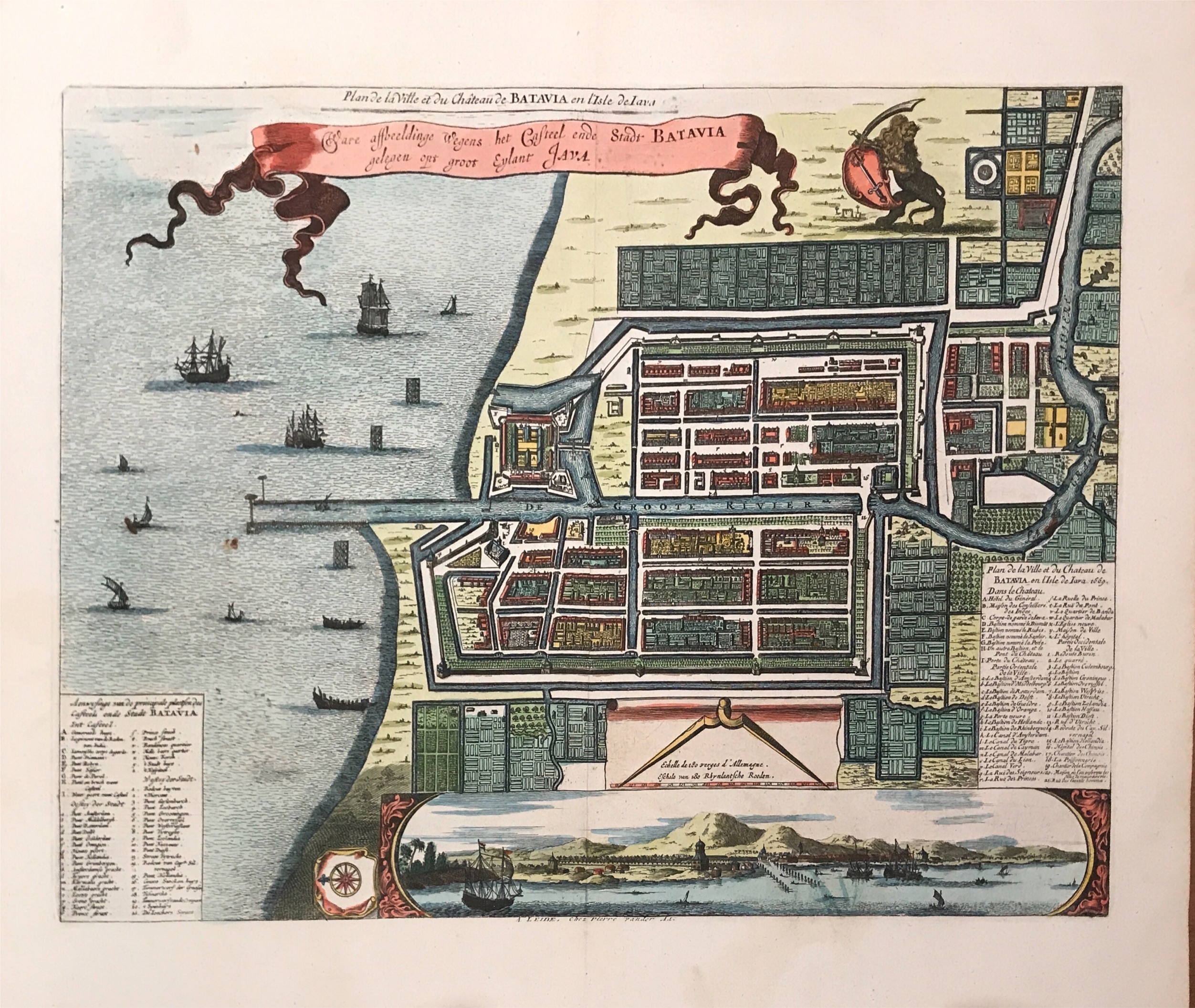
Map of Batavia – Van Meurs (c.1679)
Antique Maps, Plans & Charts
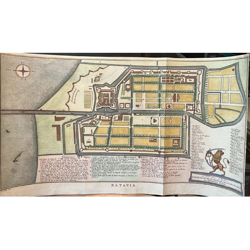
Map of Batavia – Van Schley (c.1750)
Antique Maps, Plans & Charts
Map of Batu Islands – Dornseiffen c.1900
Antique Maps, Plans & Charts
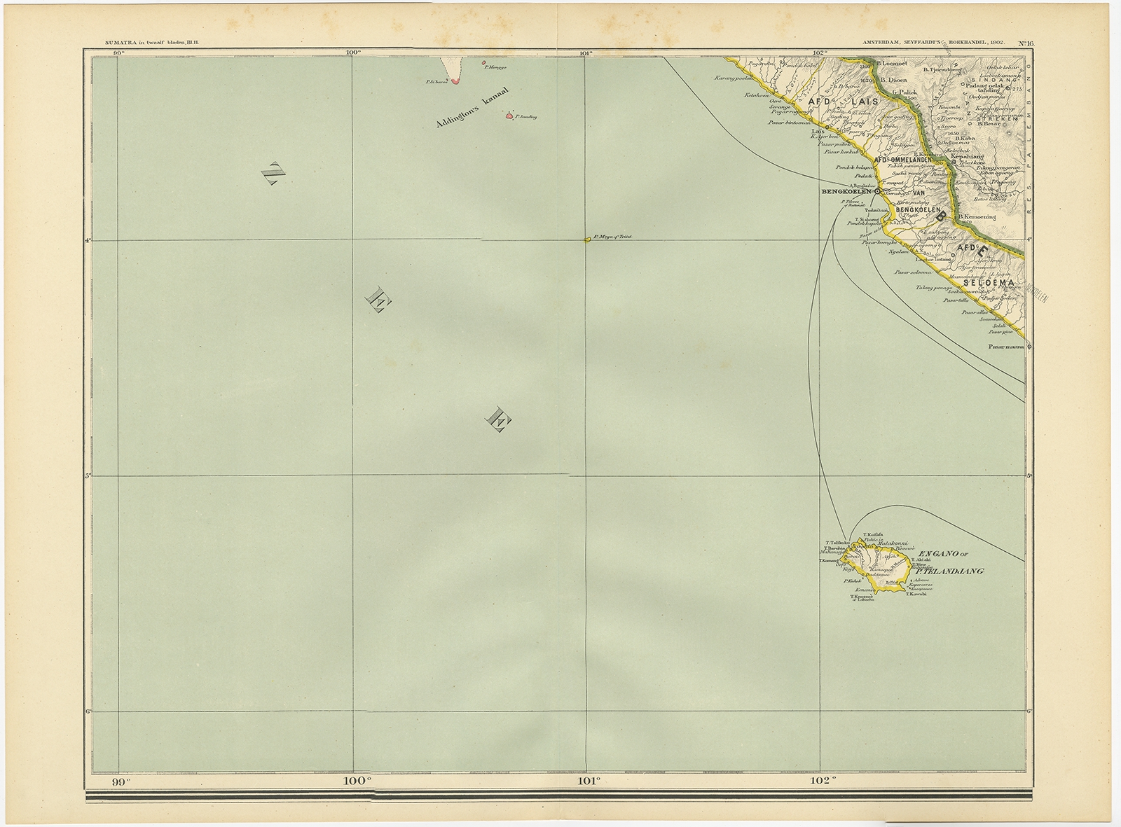
Map of Bengkulu Region – Dornseiffen c.1900
Antique Maps, Plans & Charts
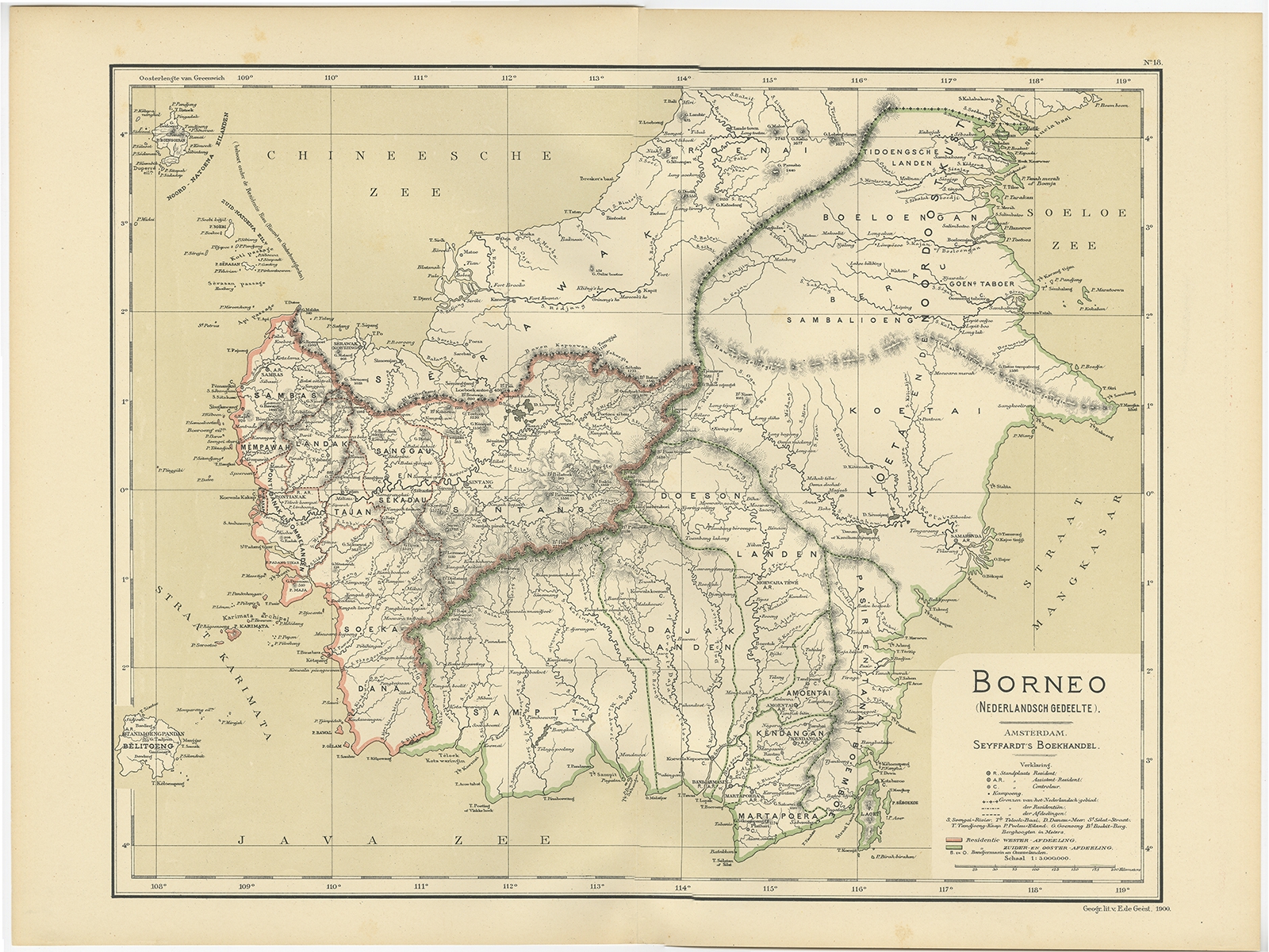
Map of Borneo – Dornseiffen c.1900
Antique Maps, Plans & Charts
Map of Celebes – Bellin/Schley (1776)
Antique Maps, Plans & Charts
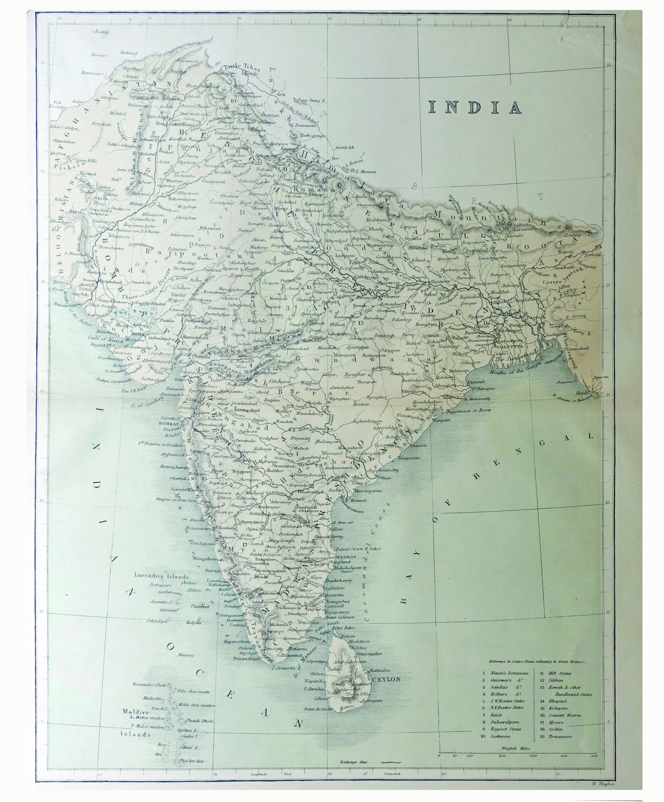
Map of India & Ceylon – W.Hughes (c.1880-1885)
←
1
2
3
…
48
49
50
51
52
53
54
…
78
79
80
→
Visit Gallery
WhatsApp
Shop Online
Location
Scroll to Top