Skip to content
Maps of Asia
Dutch East Indies
Jakarta Collection
Visit Us
Contact
Shop Online Worldwide
Shop Online Worldwide
Main Menu
Maps of Asia
Dutch East Indies
Jakarta Collection
Visit Us
Contact
Home
/
Antique Maps, Plans & Charts
/
Asia
/ Page 76
Asia
Showing 901–912 of 953 results
Default sorting
Sort by popularity
Sort by latest
Sort by price: low to high
Sort by price: high to low
Animal Prints
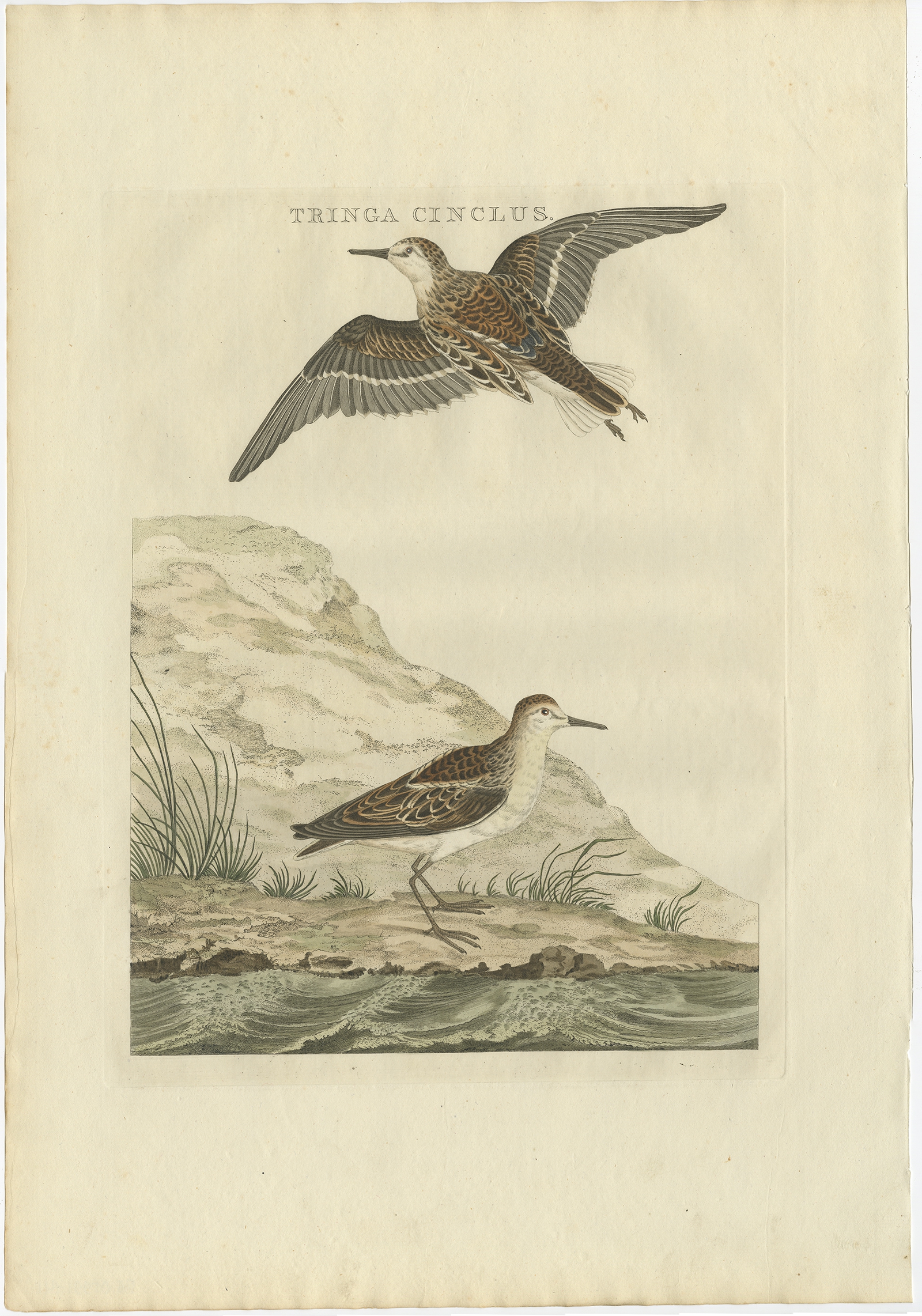
Tringa Cinclus – Sepp & Nozeman (1797)
Animal Prints
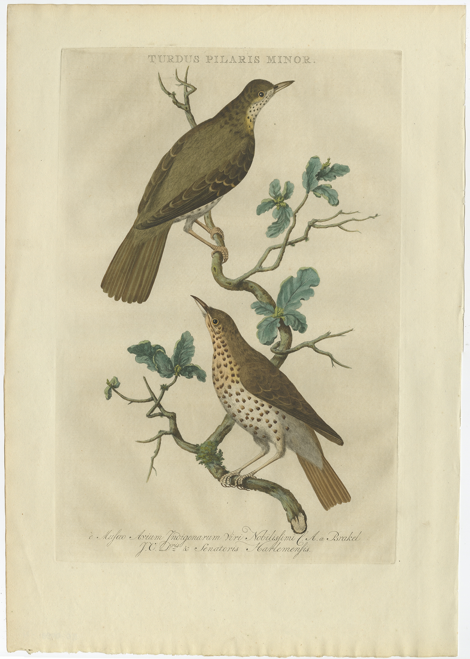
Turdus Pilaris Minor – Sepp & Nozeman (1770)
Animal Prints
Turdus, Calamoxenus – Sepp & Nozeman (1789)
Animal Prints
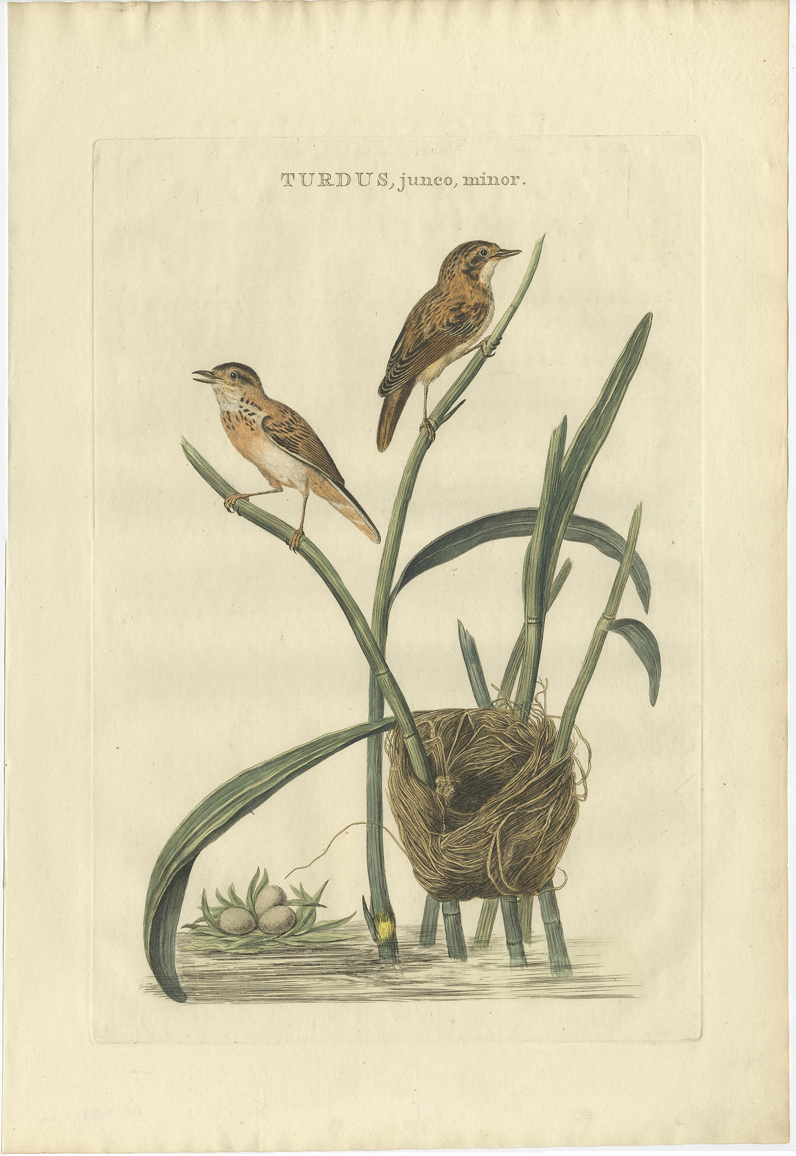
Turdus, junco, minor – Sepp & Nozeman (1789)
Animal Prints
Turdus, Pilaris – Sepp & Nozeman (1797)
Antique Maps, Plans & Charts
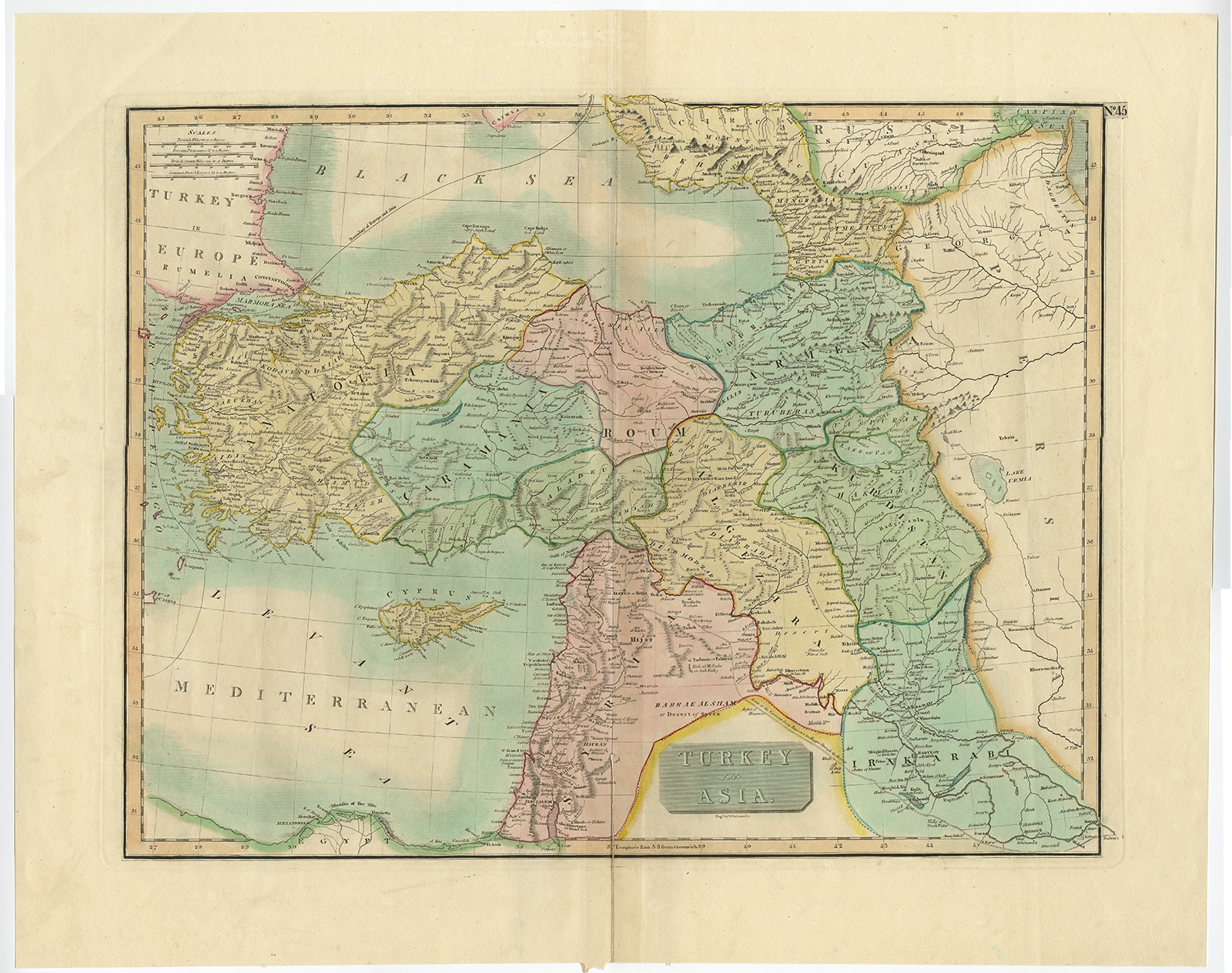
Turkey in Asia – Dassauville (1817)
Antique Maps, Plans & Charts
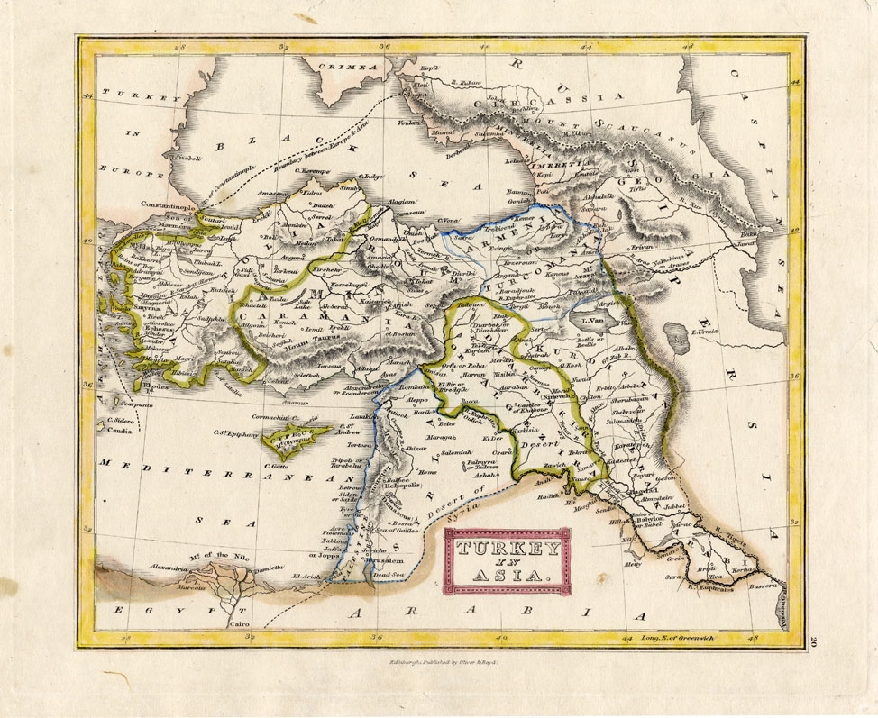
Turkey in Asia – Oliver & Boyd (1841)
Antique Maps, Plans & Charts
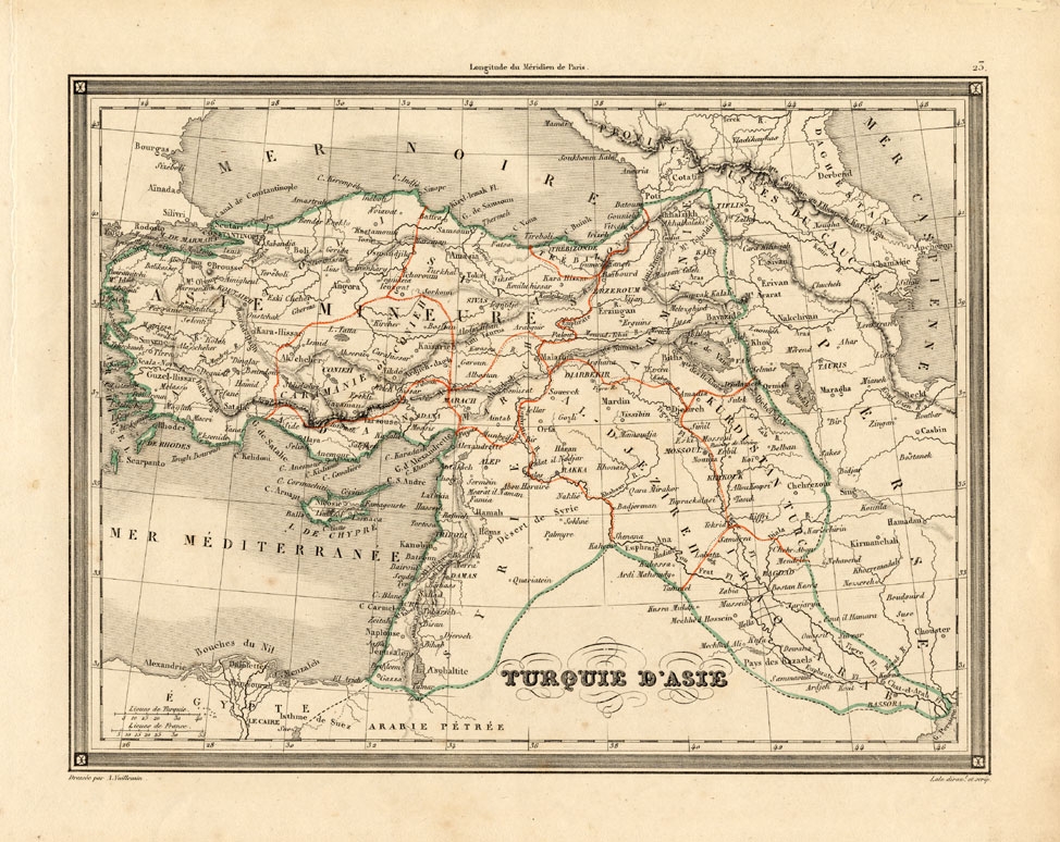
Turqui d’Asie – Vuillemin (1846)
Antique Maps, Plans & Charts
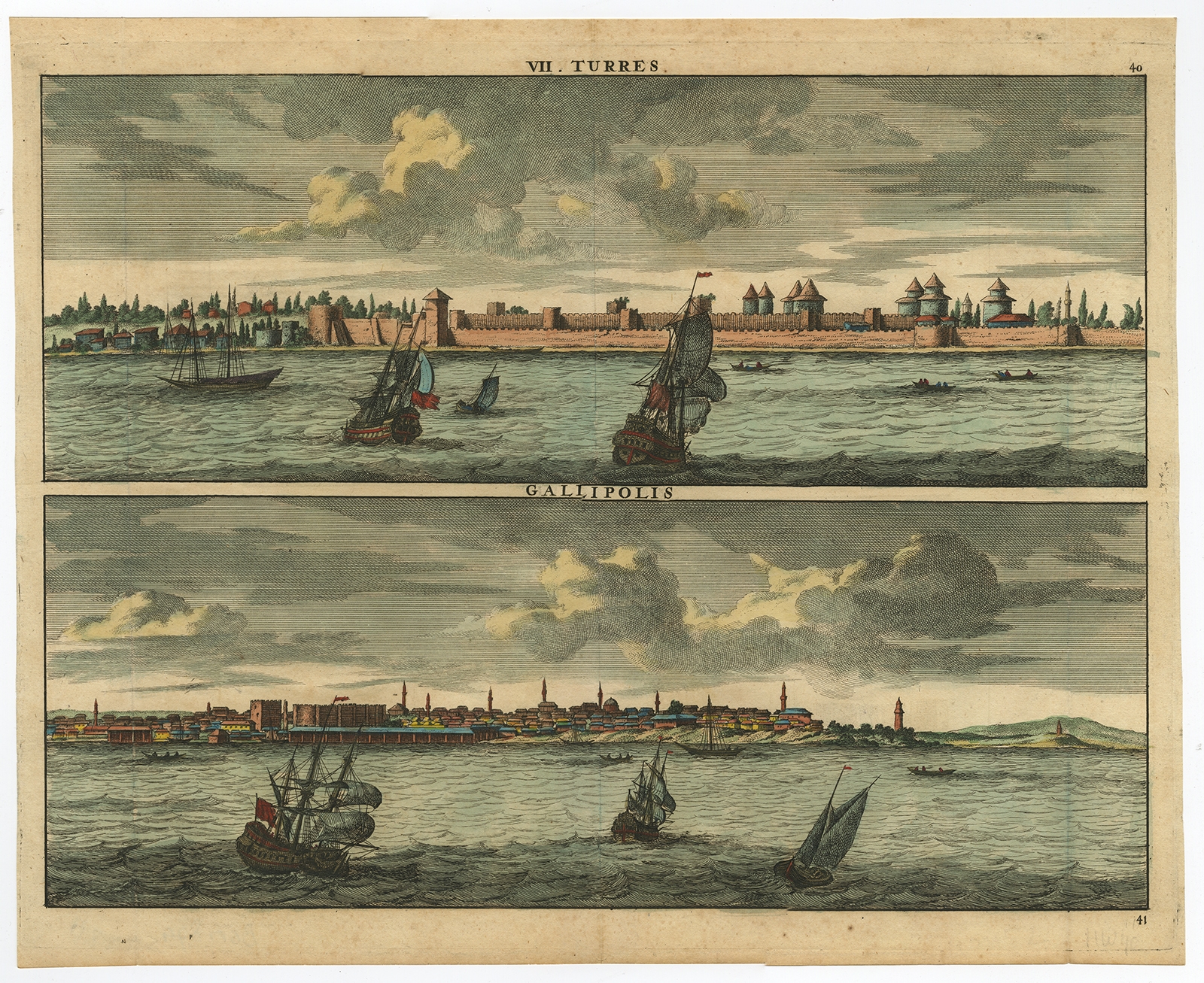
Turres – Gallipolis – De Bruyn (1698)
Antique Maps, Plans & Charts
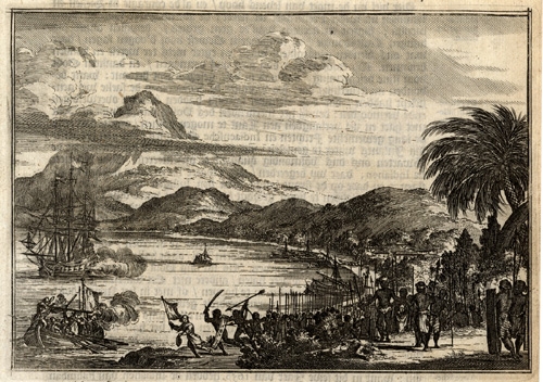
Twee schepen voor Palimban door de Indianen bespongen (..) – Schouten (1708)
Antique Maps, Plans & Charts
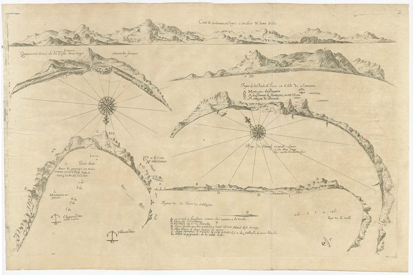
Untitled Chart of Table Bay and the Bay of Saldagne -Thevenot (c.1660)
Antique Maps, Plans & Charts
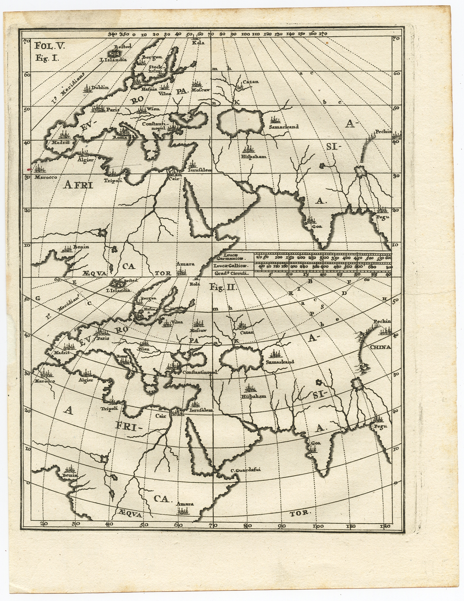
Untitled Map of Europe, Asia & Africa – Scherer (c.1700)
←
1
2
3
…
73
74
75
76
77
78
79
80
→
Visit Gallery
WhatsApp
Shop Online
Location
Scroll to Top