Skip to content
Maps of Asia
Dutch East Indies
Jakarta Collection
Visit Us
Contact
Shop Online Worldwide
Shop Online Worldwide
Main Menu
Maps of Asia
Dutch East Indies
Jakarta Collection
Visit Us
Contact
Home
/
Antique Maps, Plans & Charts
/ Page 11
Antique Maps, Plans & Charts
Showing 121–132 of 979 results
Default sorting
Sort by popularity
Sort by latest
Sort by price: low to high
Sort by price: high to low
Antique Maps, Plans & Charts
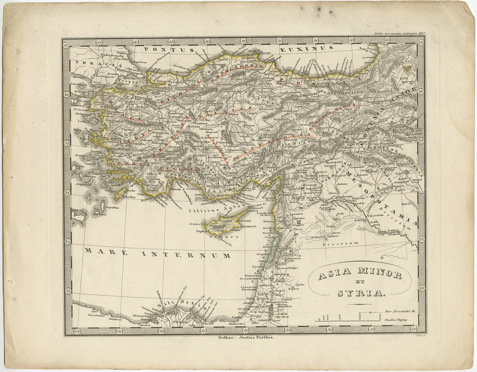
Antique Map of Asia Minor and Syria by Perthes (1848)
Antique Maps, Plans & Charts
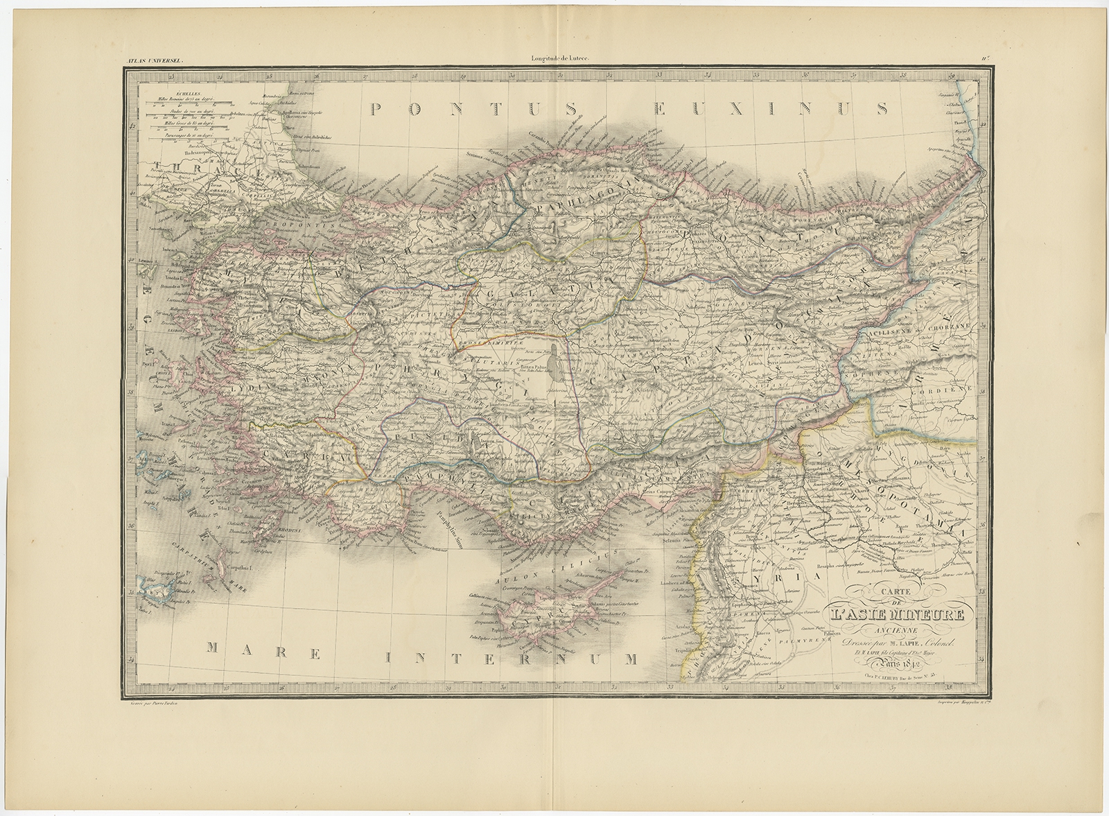
Antique Map of Asia Minor by Lapie (1842)
Antique Maps, Plans & Charts
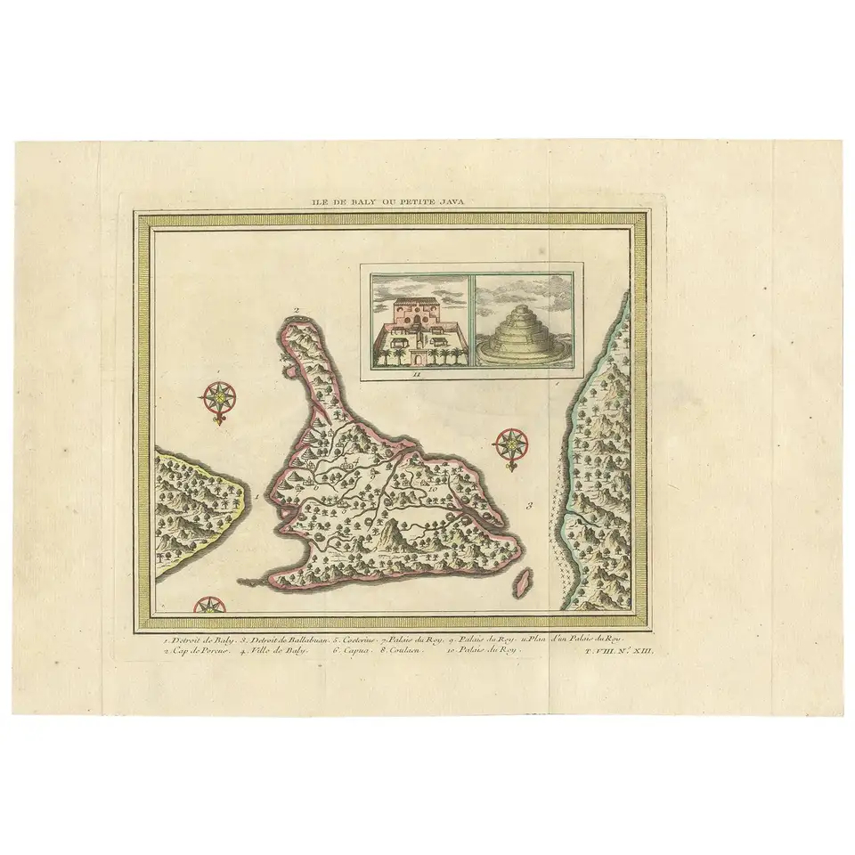
Antique Map of Bali ‘Indonesia’ by Bellin ‘1757’
Antique Maps, Plans & Charts
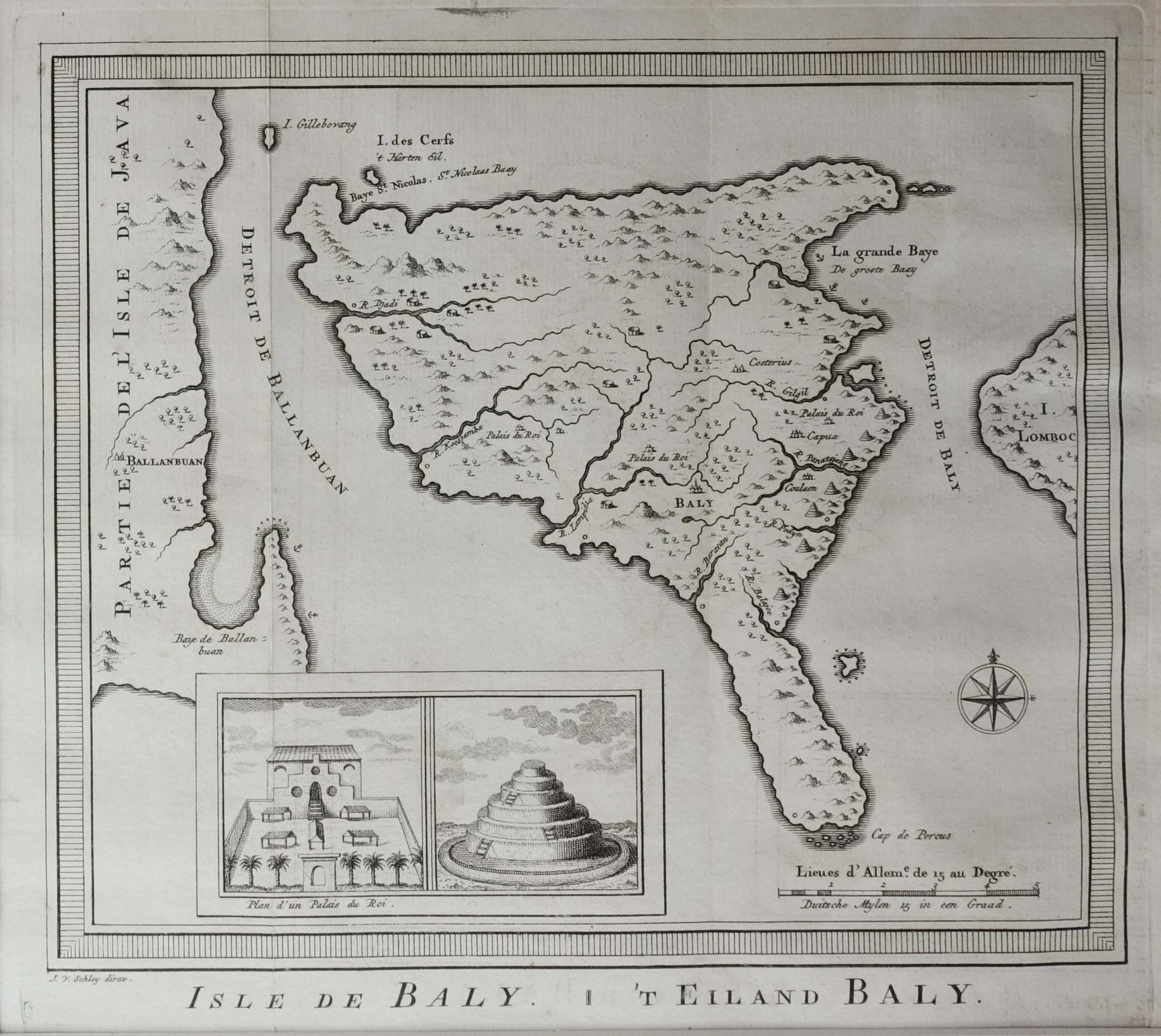
Antique Map of Bali by Van Schley (c.1770)
Antique Maps, Plans & Charts
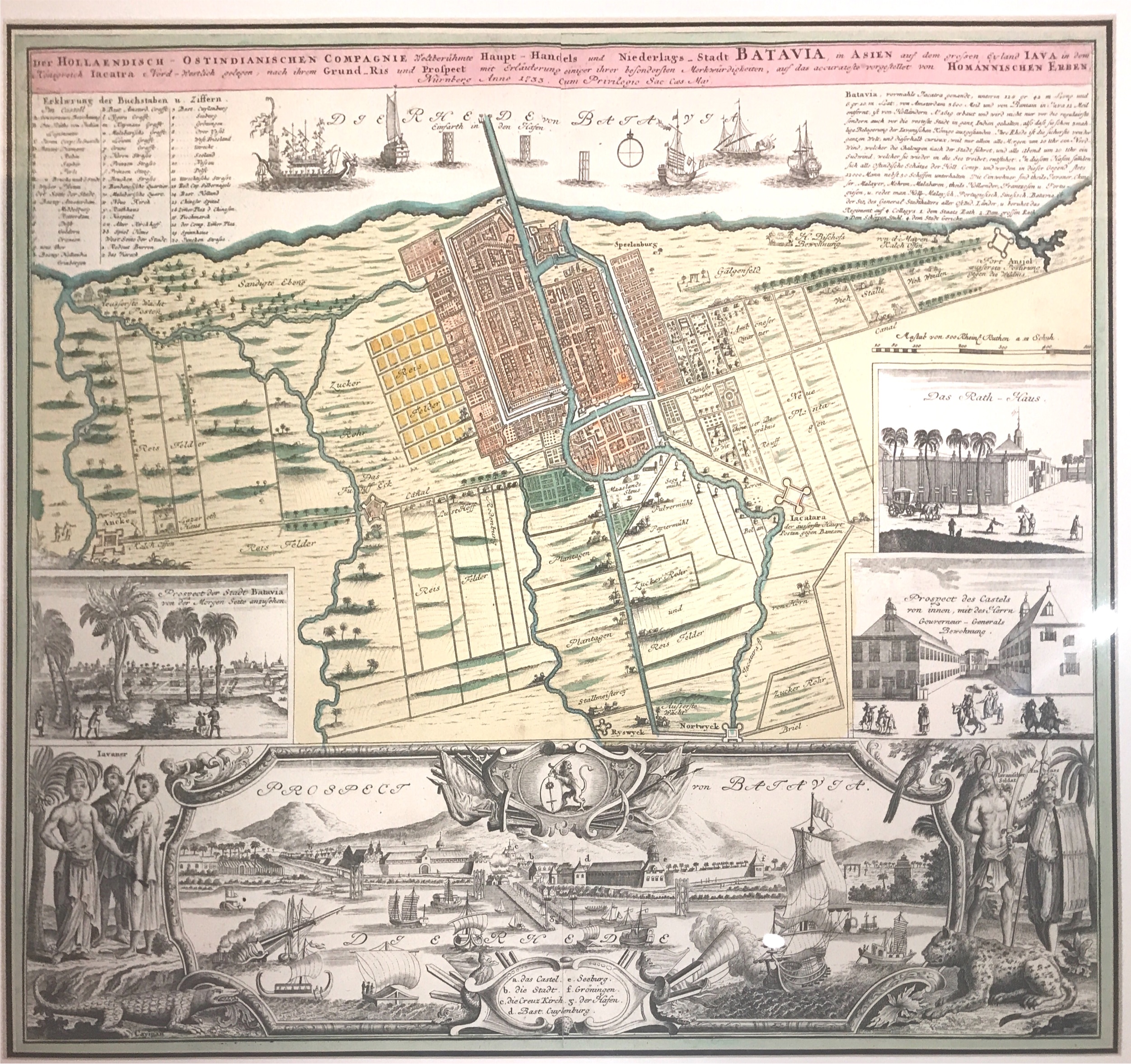
Antique Map of Batavia – Homann (c.1744)
Antique Maps, Plans & Charts
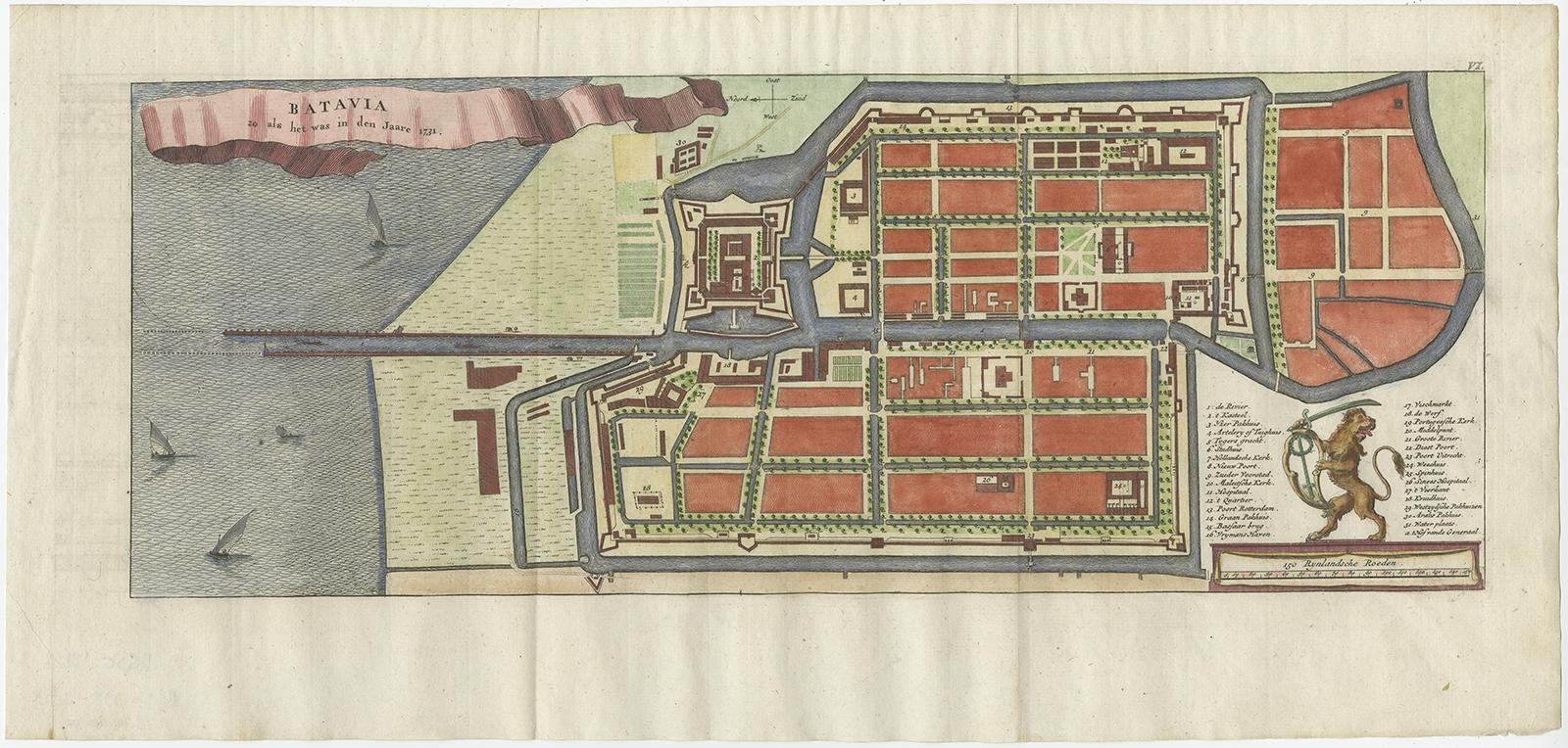
Antique Map of Batavia by Bellin (c.1751)
Antique Maps, Plans & Charts
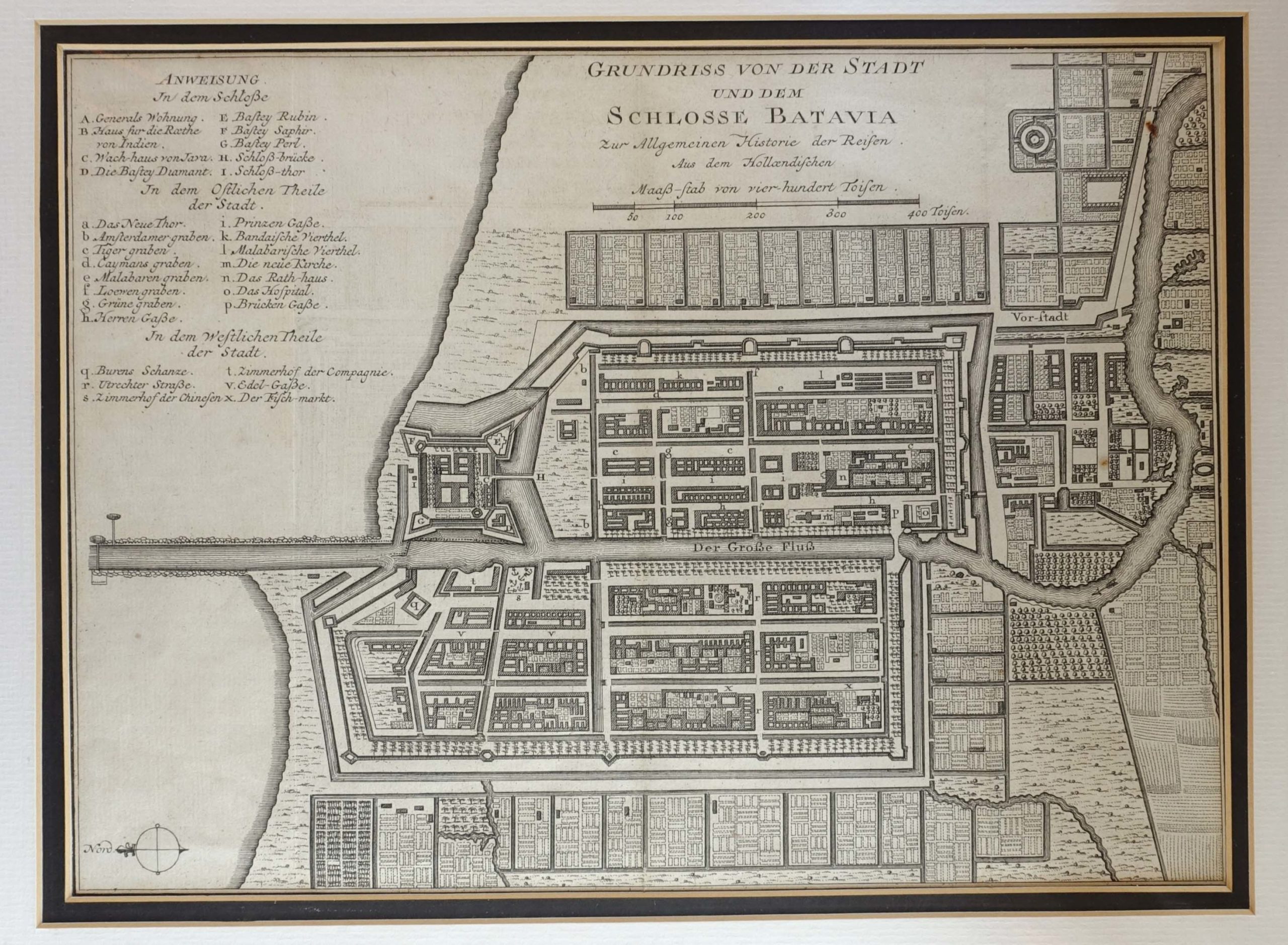
Antique Map of Batavia by Conrade (1782) – SOLD
Antique Maps, Plans & Charts
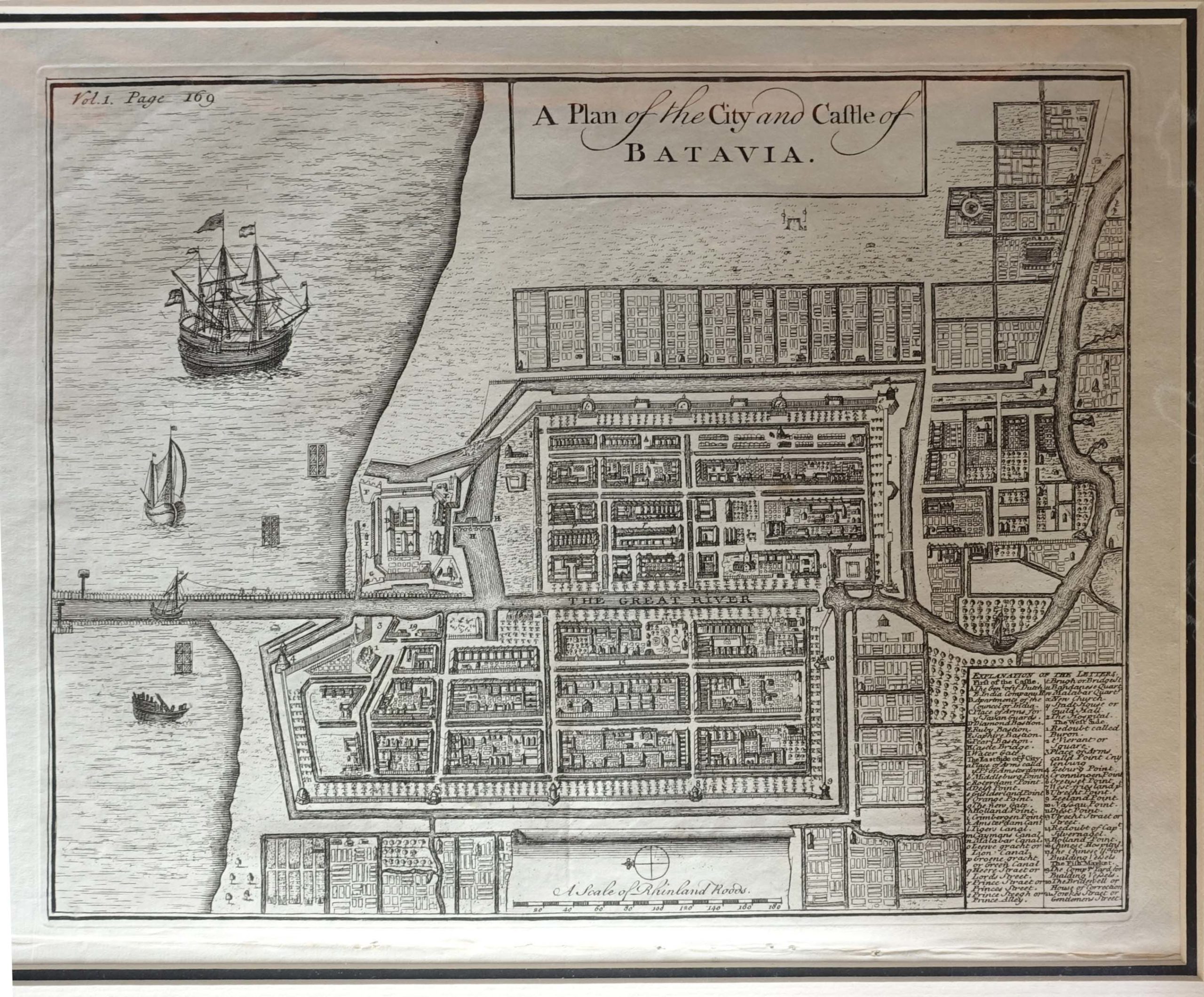
Antique Map of Batavia by Salmon (1744)
Antique Maps, Plans & Charts
Antique Map of Batavia by Van Schley (1770)
Antique Maps, Plans & Charts
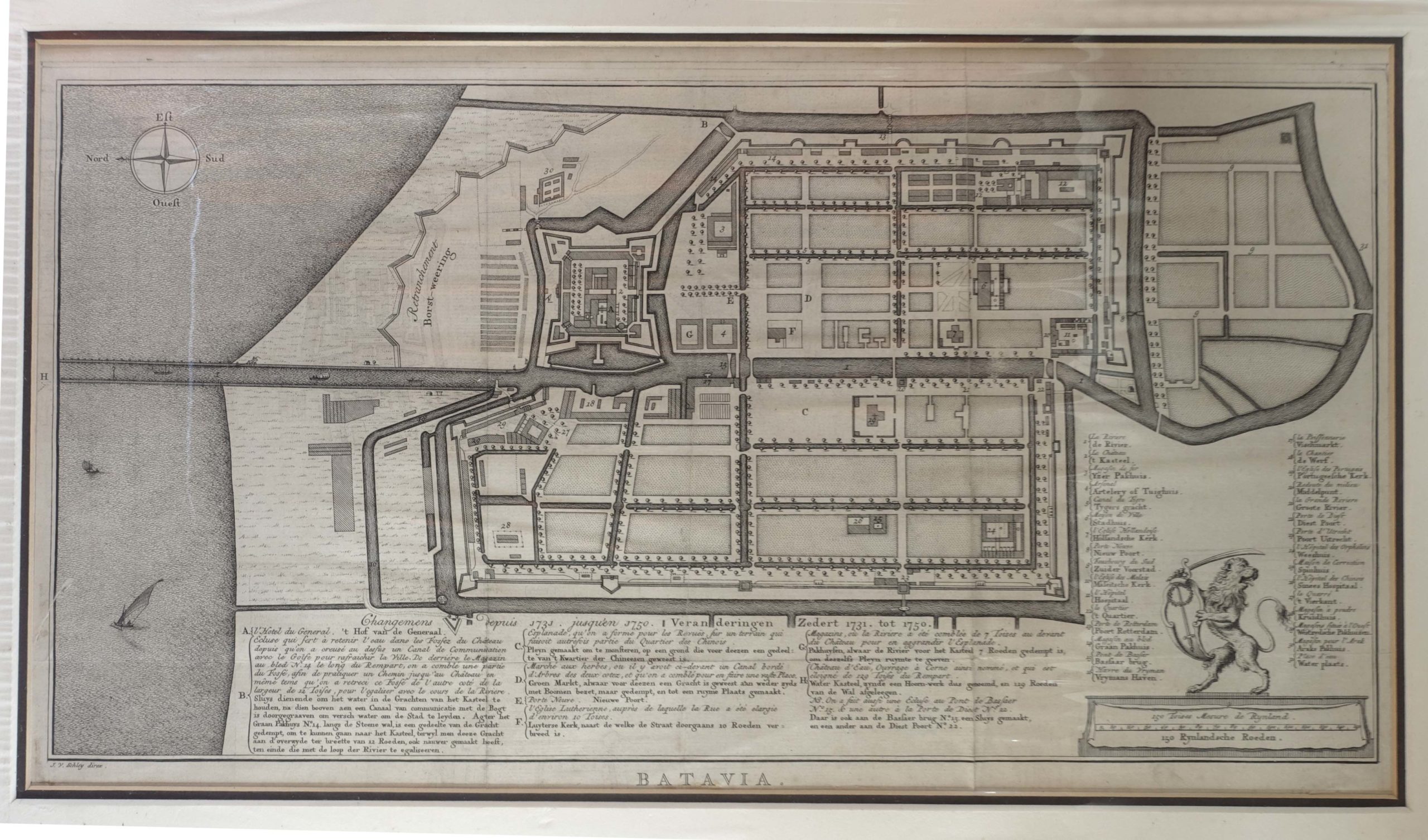
Antique Map of Batavia by Van Schley (c.1750)
Antique Maps, Plans & Charts
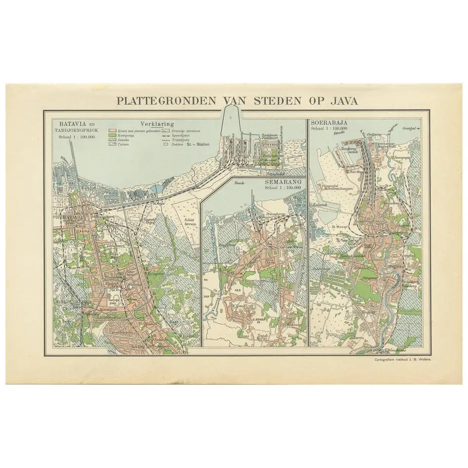
Antique Map of Batavia, Semarang and Surabaya by Wolters ‘circa 1910’
Antique Maps, Plans & Charts
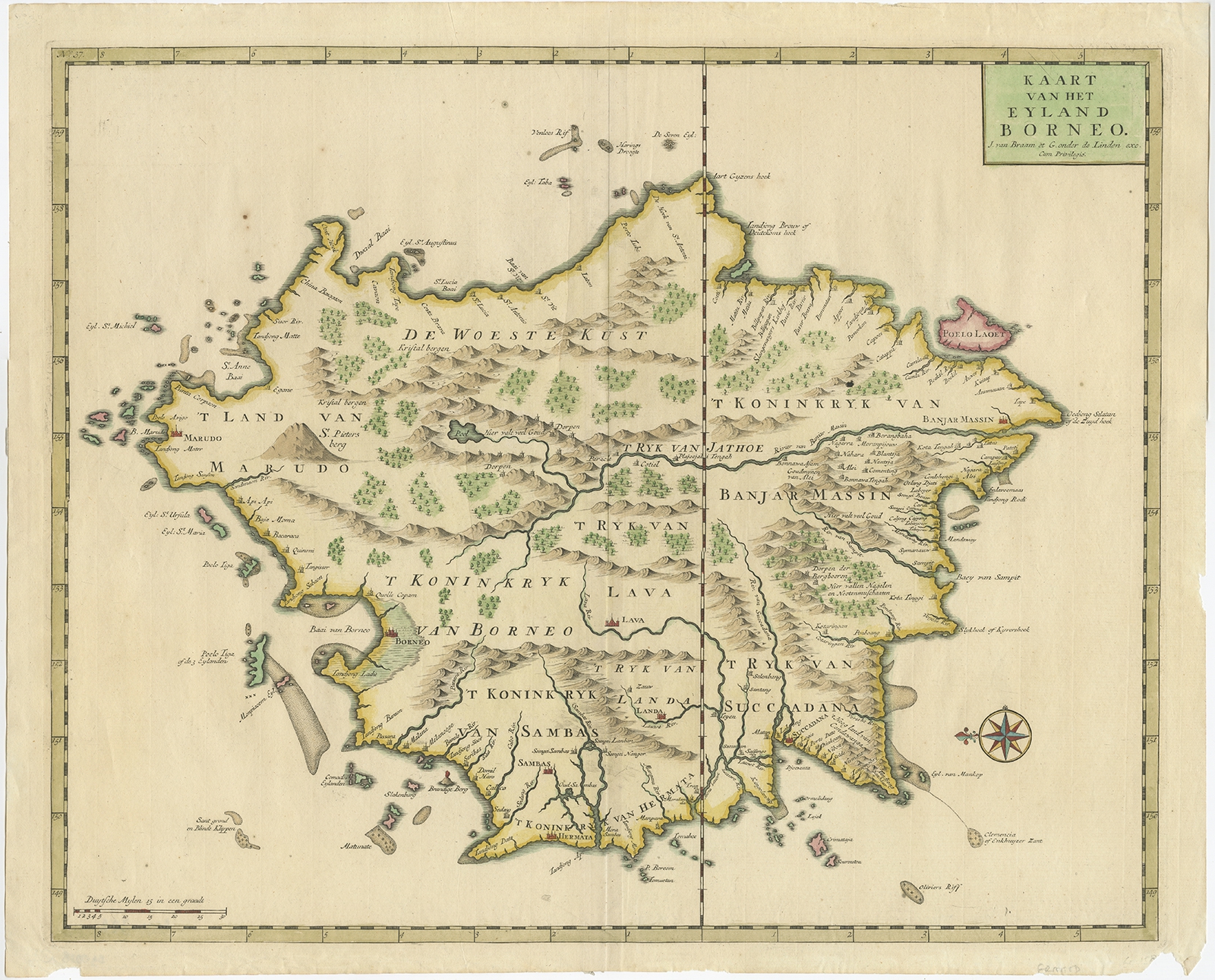
Antique Map of Borneo by Valentijn (1726)
←
1
2
3
…
8
9
10
11
12
13
14
…
80
81
82
→
Visit Gallery
WhatsApp
Shop Online
Location
Scroll to Top