Skip to content
Maps of Asia
Dutch East Indies
Jakarta Collection
Visit Us
Contact
Shop Online Worldwide
Shop Online Worldwide
Main Menu
Maps of Asia
Dutch East Indies
Jakarta Collection
Visit Us
Contact
Home
/
Antique Maps, Plans & Charts
/ Page 16
Antique Maps, Plans & Charts
Showing 181–192 of 979 results
Default sorting
Sort by popularity
Sort by latest
Sort by price: low to high
Sort by price: high to low
Antique Maps, Plans & Charts
Antique Map of the Asian Continent by Becker (c.1860)
Antique Maps, Plans & Charts
Antique Map of the Asian continent by Didot (c.1830)
Antique Maps, Plans & Charts
Antique Map of the Banda Islands by De Bry (c.1600)
Antique Maps, Plans & Charts
Antique Map of the Banda Islands by Van den Bosch ‘1818’
Antique Maps, Plans & Charts
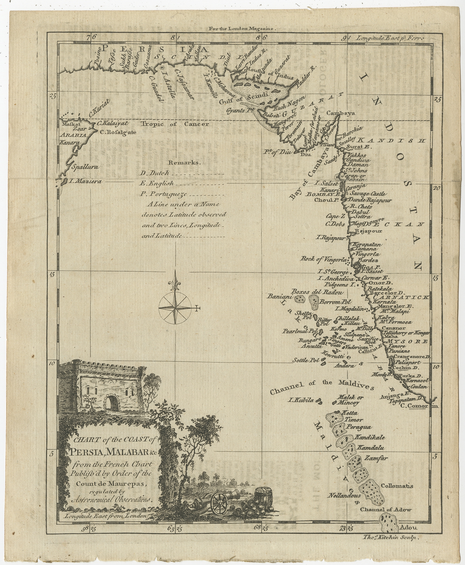
Antique Map of the Coast of Southwest Asia by Kitchin (c.1770)
Antique Maps, Plans & Charts
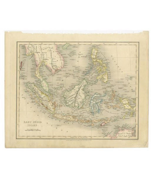
Antique Map of the East Indies – Dower (c.1832)
Antique Maps, Plans & Charts
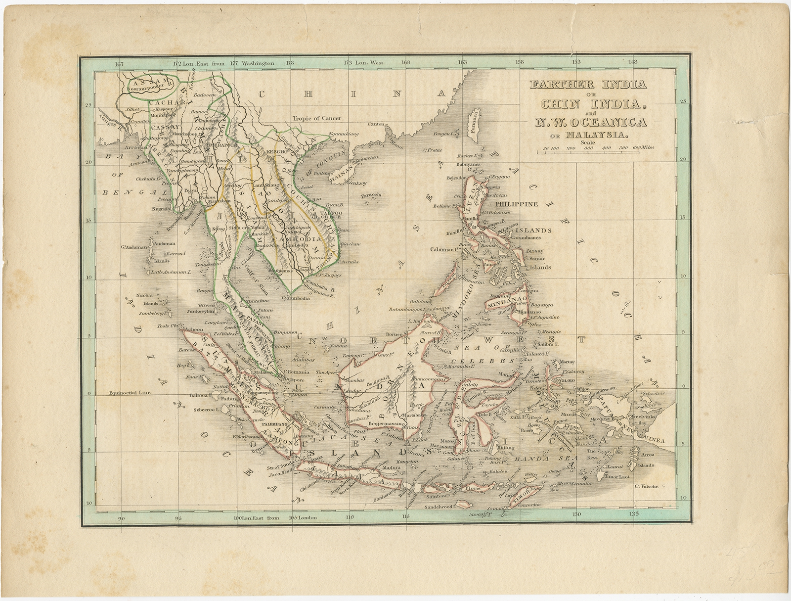
Antique Map of the East Indies and Southeast Asia by Bradford (1835)
Antique Maps, Plans & Charts
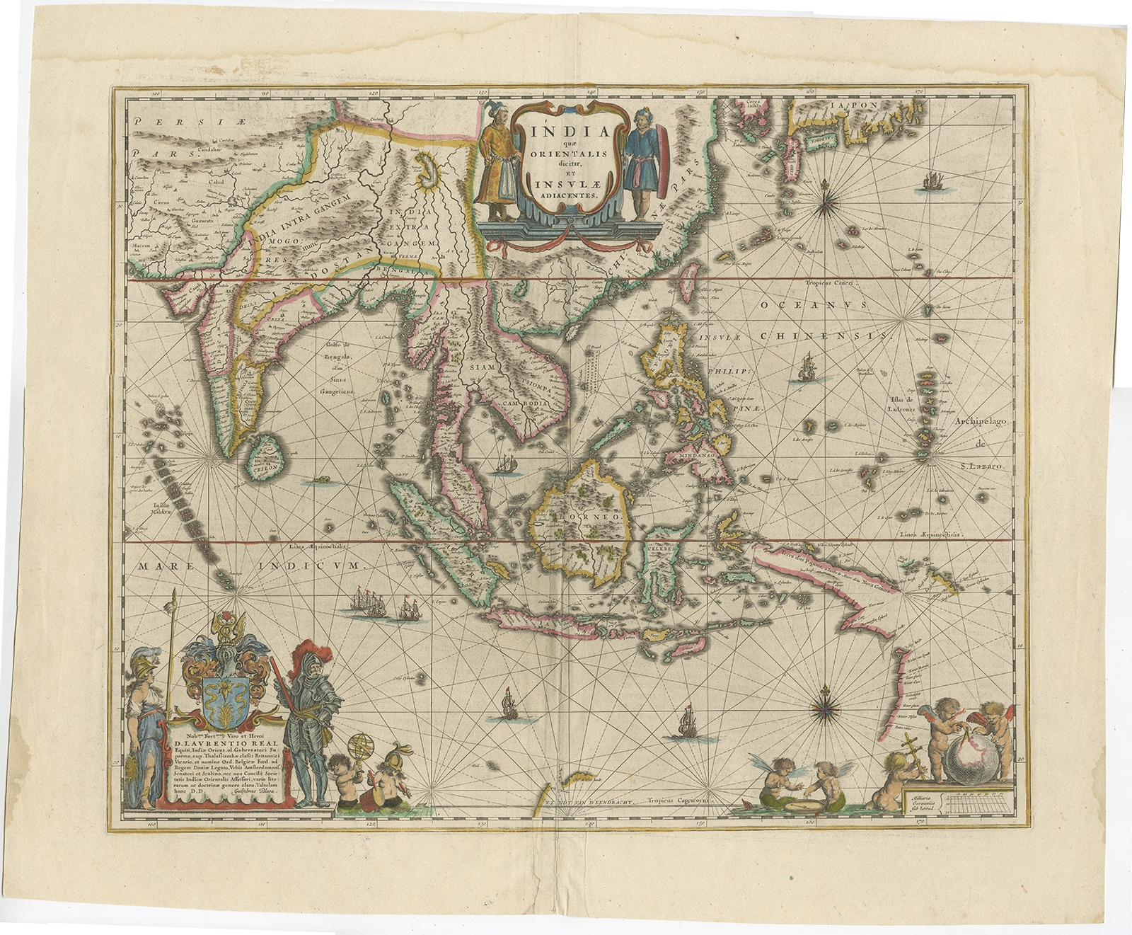
Antique Map of the East Indies by Blaeu (c.1640)
Antique Maps, Plans & Charts
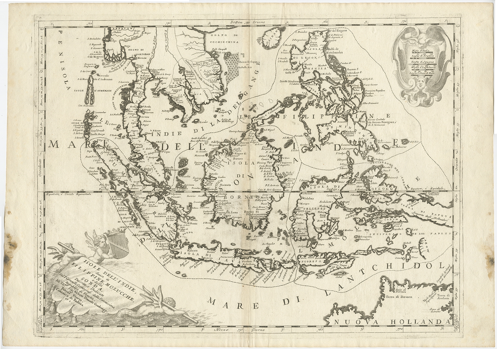
Antique Map of the East Indies by Coronelli (c.1690)
Antique Maps, Plans & Charts
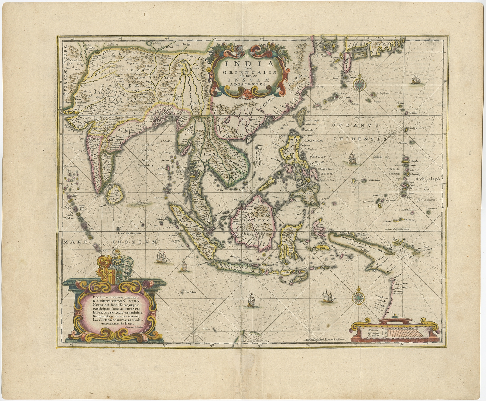
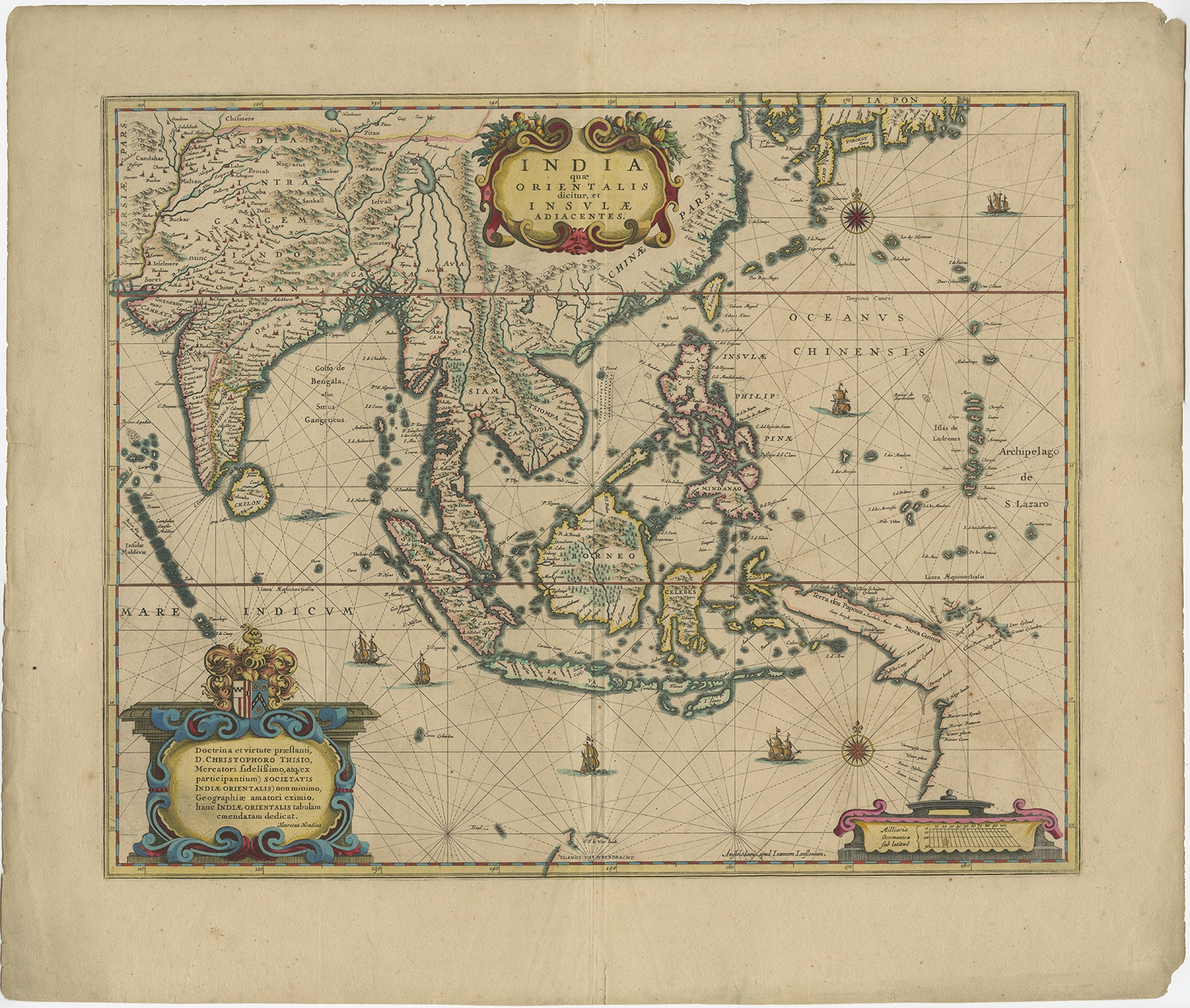
Antique Map of the East Indies by Janssonius (c.1644)
Antique Maps, Plans & Charts
Antique Map of the East Indies by Janssonius (c.1644)
←
1
2
3
…
13
14
15
16
17
18
19
…
80
81
82
→
Visit Gallery
WhatsApp
Shop Online
Location
Scroll to Top