Skip to navigation
Skip to content
Login / Register
0
ANTIQUE MAPS & PRINTS OF ASIA
All Categories
Animal Prints
Antique Books
Antique Maps, Plans & Charts
Antique Prints
Asia
Asia Continent
Australia & Oceania
Bali
Batavia
Cambodia - Kampochia
China
East Asia
East Indonesia
Fashion and Costumes
Featured
Figures and Portraits
Figures and Portraits
In Gallery
India & Ceylon
Indonesia
Japan
Java
Kalimantan
Kleynenberg Collection
Korea
Malaysia
Maritime
Military and Political
Philippines
Religion
Sea Charts
Singapore
Southeast Asia (Rest of))
Spice Islands
Sulawesi
Sumatra
Taiwan-Formosa
Thailand - Siam
Uncategorized
Villages and Scenes
Vintage Posters
West Asia
World
HOME
Antique Maps
World
Southeast Asia
Indonesia
Java
Sumatra
Bali
Spice Islands
Philippines
Singapore
Malaysia
East Asia
Japan
Korea
Taiwan-Formosa
West Asia
India & Ceylon
Asia Continent
Australia & Oceania
Sea Charts
Antique Prints
Batavia
Villages and Scenes
Figures and Portraits
Military and Political
Fashion and Costumes
Religion
Animal Prints
Maritime
Religion
Animal Prints
Kleynenberg Collection
School Charts
Antique Books
Bartele’s Blog
The Gallery
Special Projects
Bali History
Mapping Java
Spice Islands
Batavia Maps and Prints
The Historic “Itinerario”
Inspiration
Antique Maps, Plans & Charts
Showing 253–264 of 1186 results
Default sorting
Sort by popularity
Sort by latest
Sort by price: low to high
Sort by price: high to low
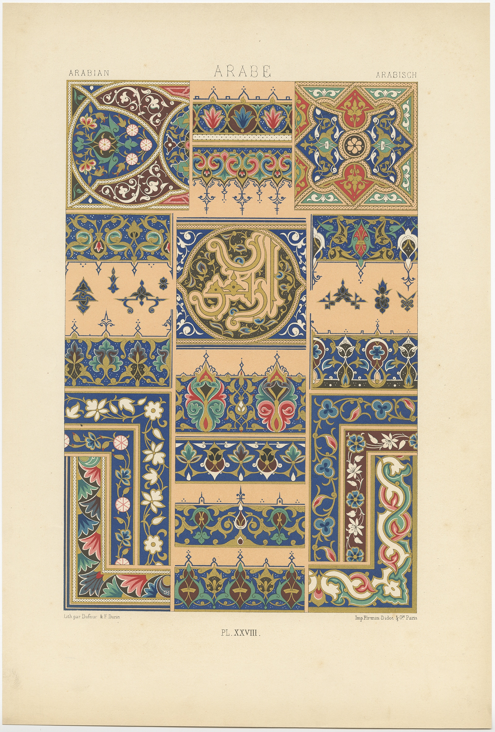
Pl. 28 Antique Print of Arabian decorative art by Racinet (1869)
Add to cart
View Details
$
90,00
Make an Offer
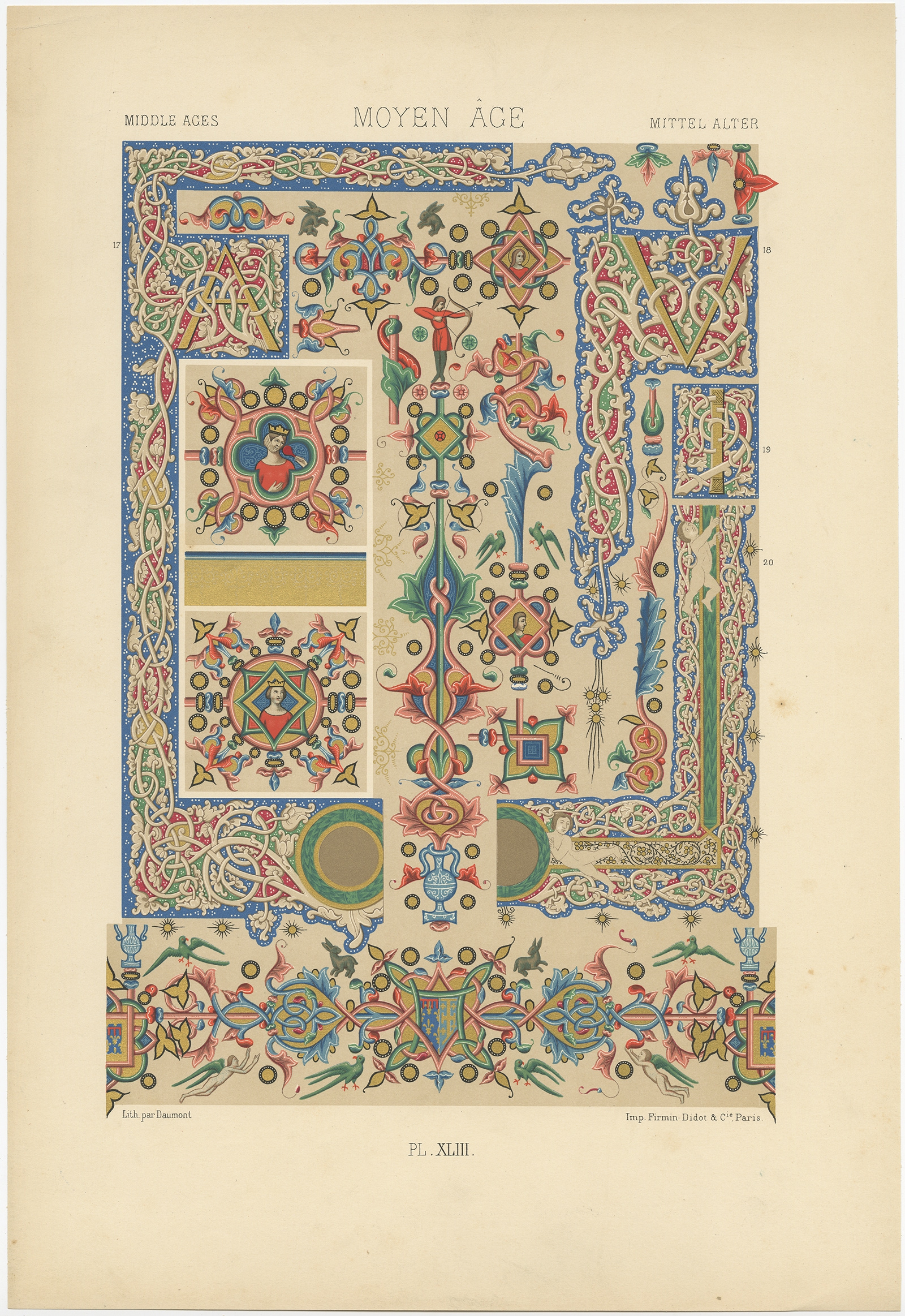
Pl. 43 Antique Print of decorative art in the Middle Ages by Racinet (1869)
Add to cart
View Details
$
90,00
Make an Offer
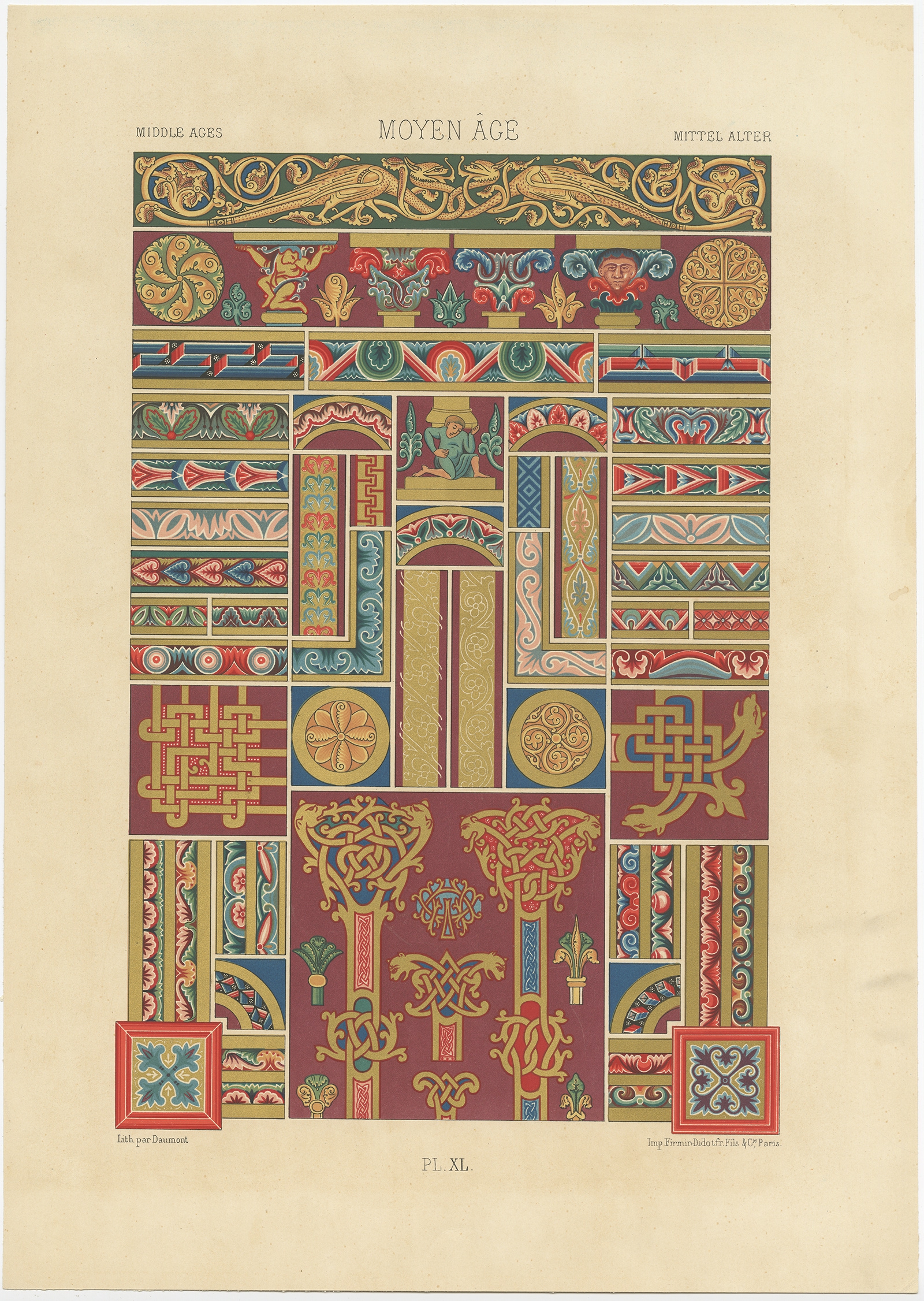
Pl. 40 Antique Print of decorative art in the Middle Ages by Racinet (1869)
Add to cart
View Details
$
90,00
Make an Offer
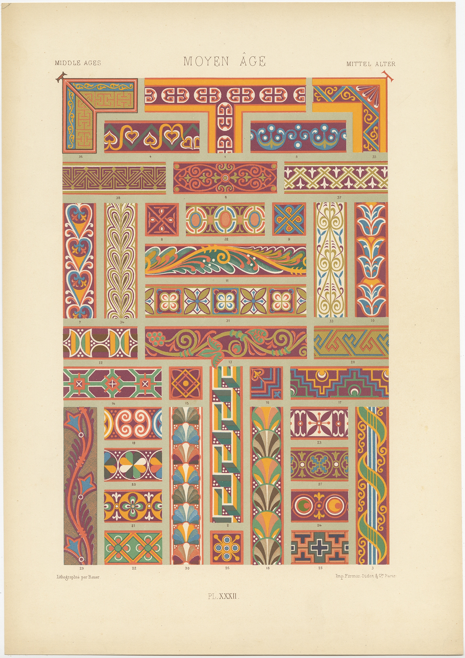
Pl. 32 Antique Print of decorative art in the Middle Ages by Racinet (1869)
Add to cart
View Details
$
90,00
Make an Offer
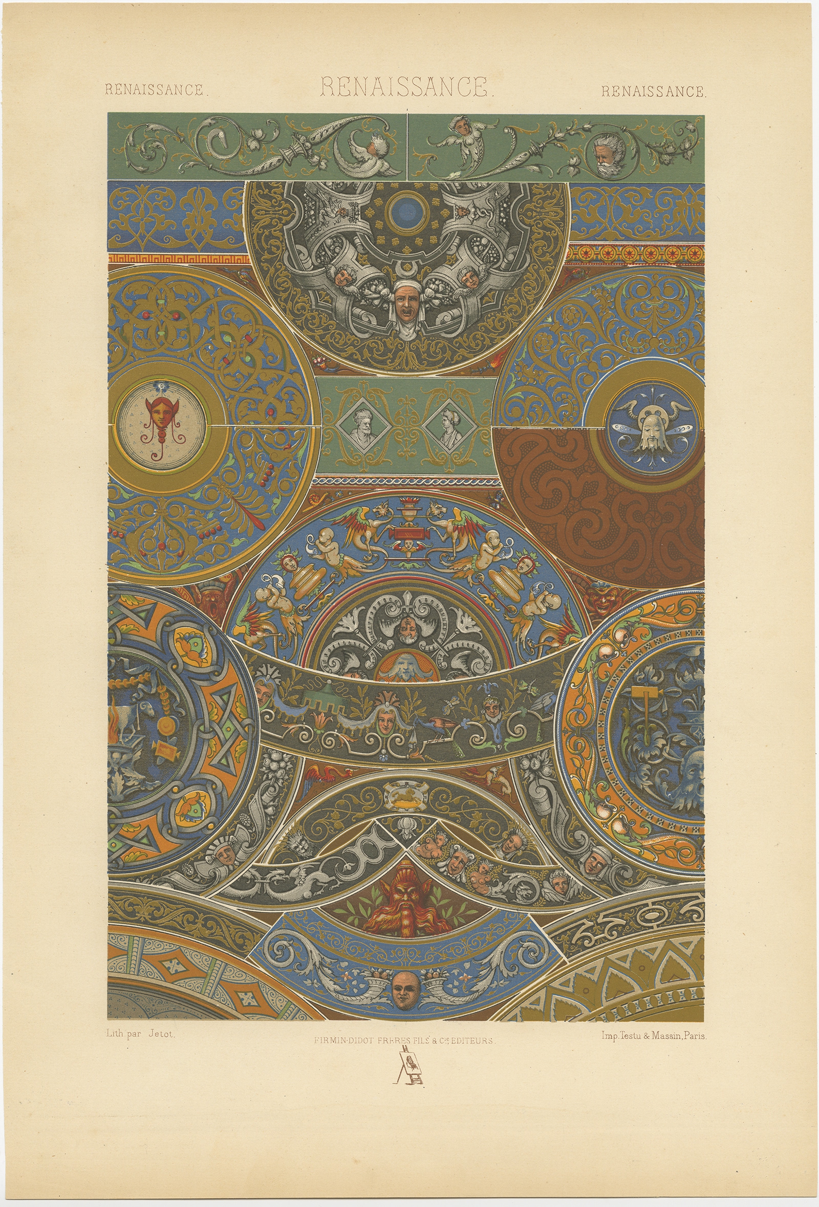
Pl. 50 Antique Print of decorative art in the Renaissance period by Racinet (1869)
Add to cart
View Details
$
90,00
Make an Offer
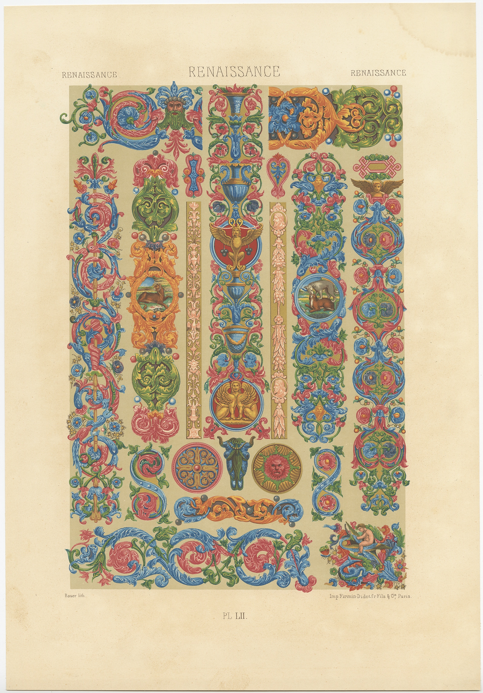
Pl. 52 Antique Print of decorative art in the Renaissance period by Racinet (1869)
Add to cart
View Details
$
90,00
Make an Offer
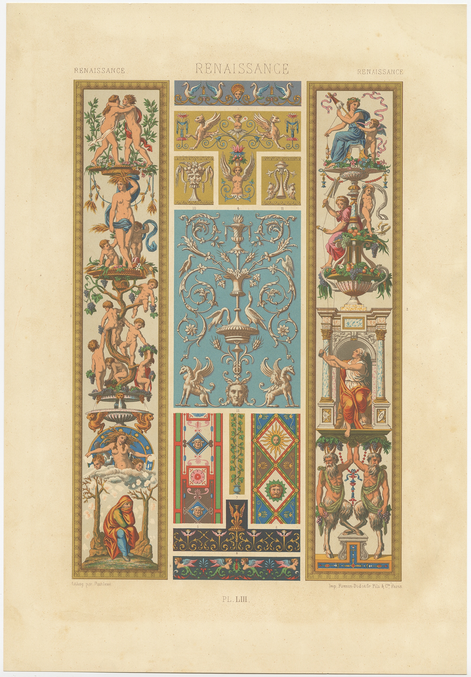
Pl. 53 Antique Print of decorative art in the Renaissance period by Racinet (1869)
Add to cart
View Details
$
90,00
Make an Offer
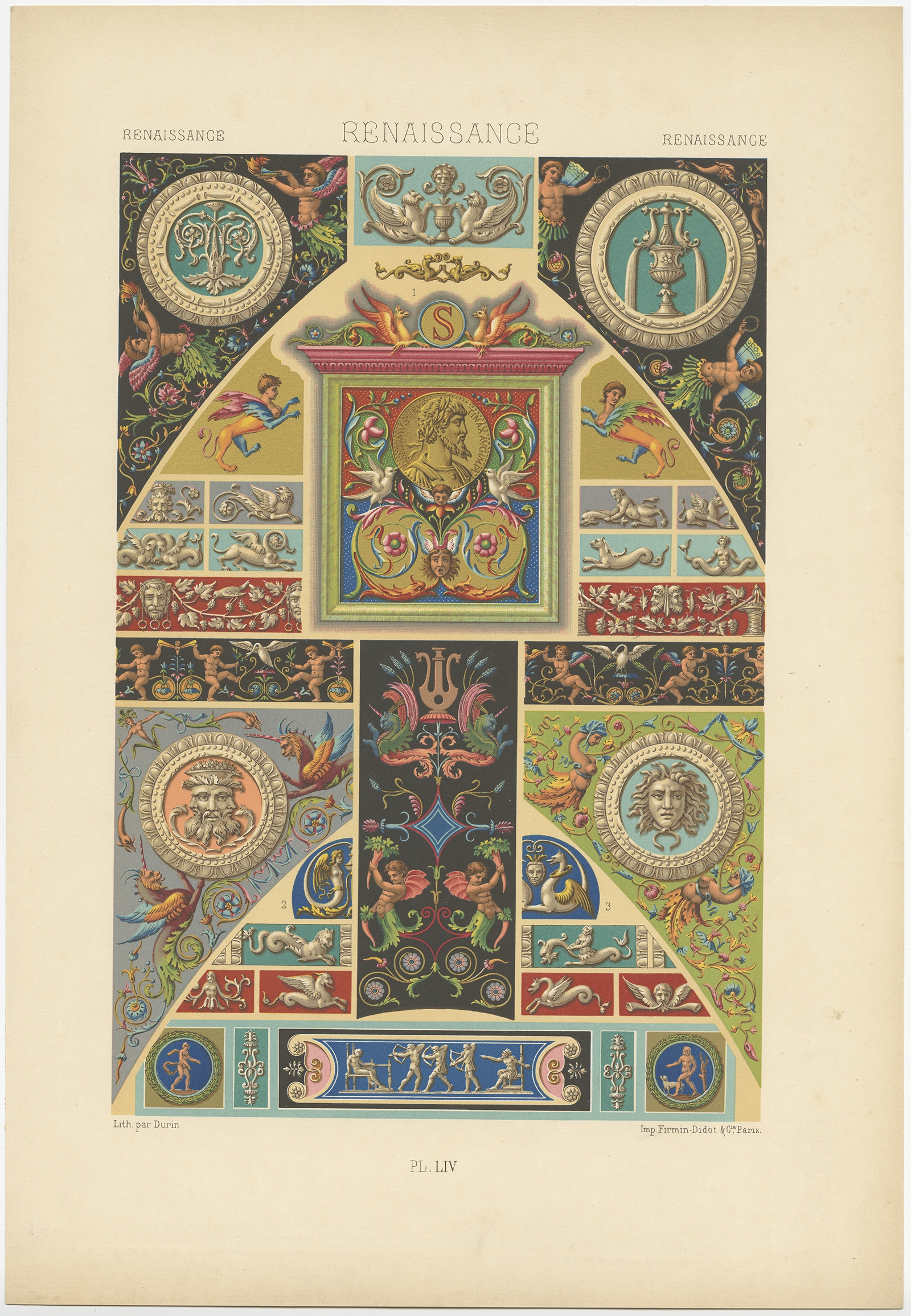
Pl. 54 Antique Print of decorative art in the Renaissance period by Racinet (1869)
Add to cart
View Details
$
90,00
Make an Offer
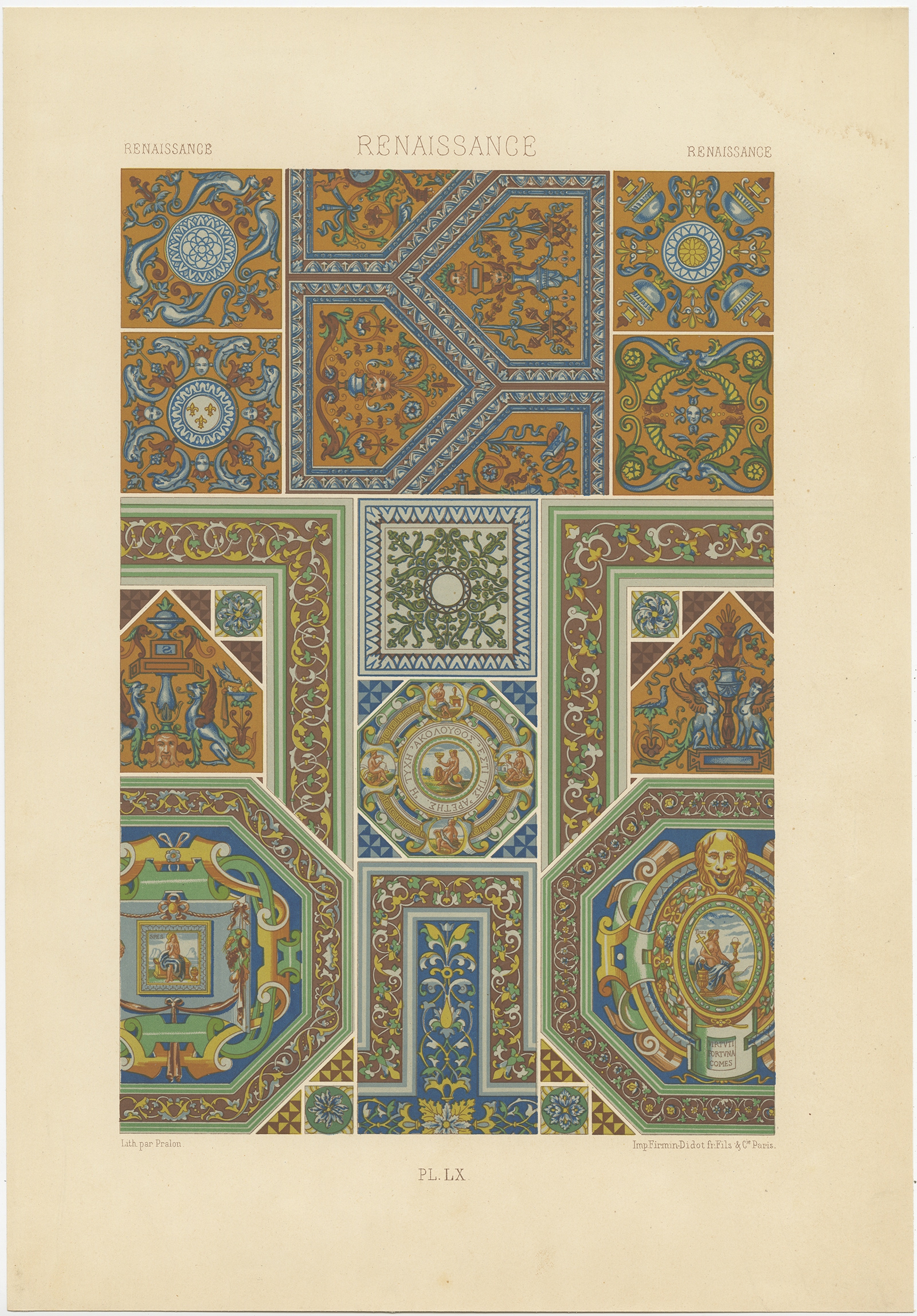
Pl. 65 Antique Print of decorative art in the Renaissance period by Racinet (1869)
Add to cart
View Details
$
90,00
Make an Offer
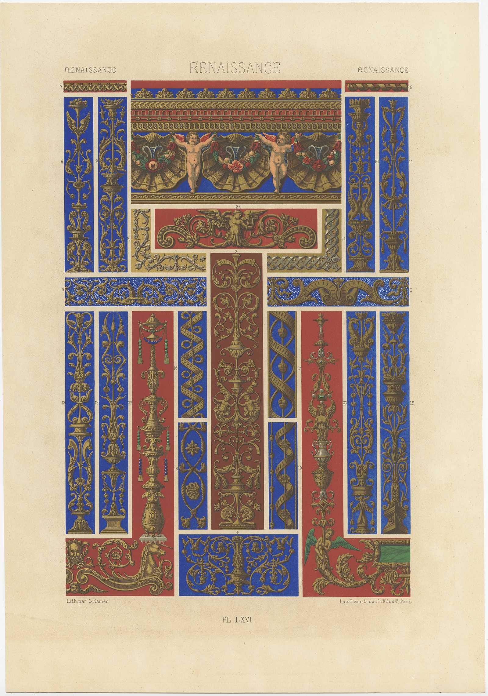
Pl. 66 Antique Print of decorative art in the Renaissance period by Racinet (1869)
Add to cart
View Details
$
90,00
Make an Offer
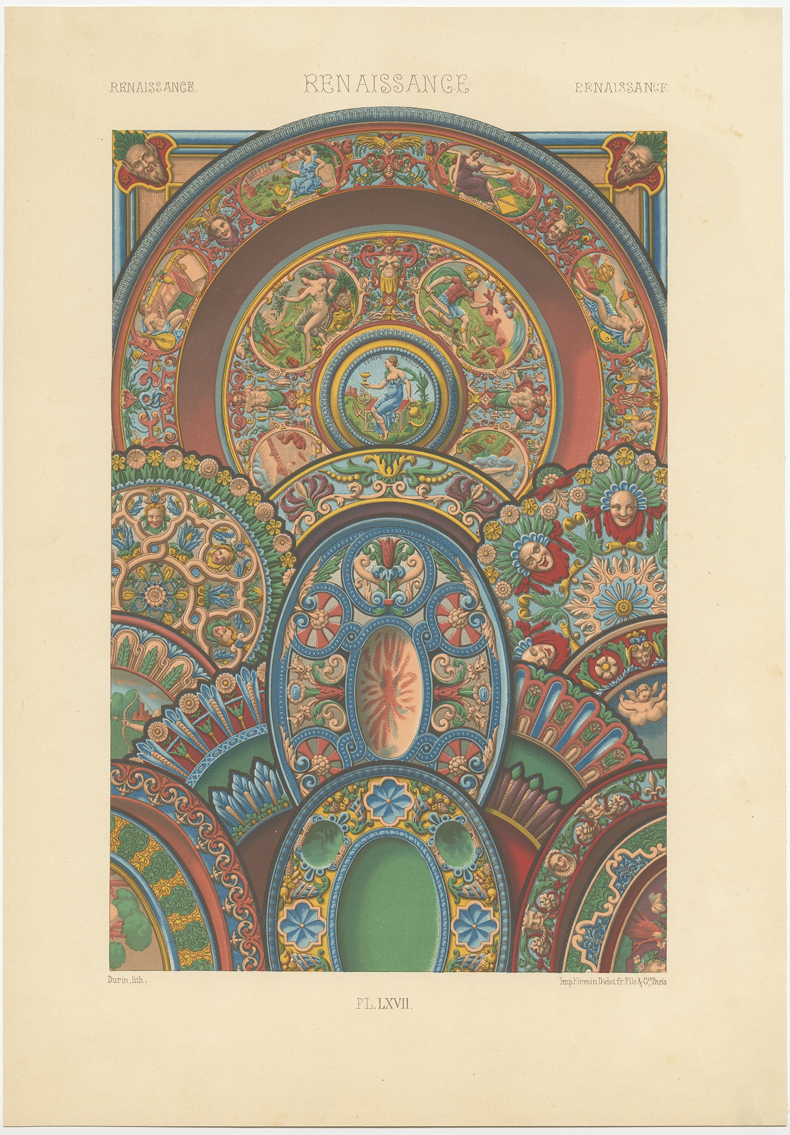
Pl. 67 Antique Print of decorative art in the Renaissance period by Racinet (1869)
Add to cart
View Details
$
90,00
Make an Offer
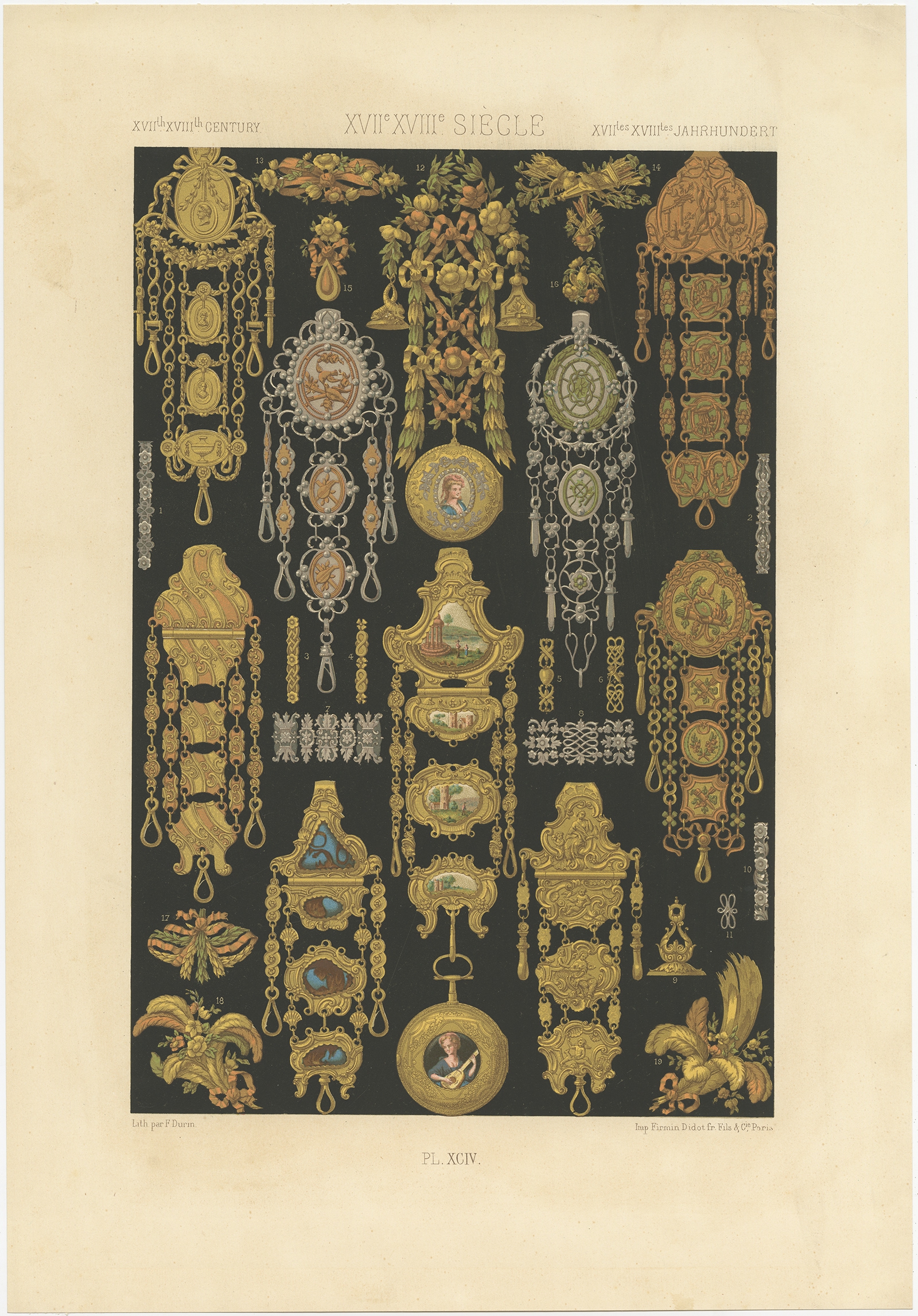
Pl. 94 Antique Print of decorative art in the 17th and 18th Century by Racinet (1869)
Add to cart
View Details
$
90,00
Make an Offer
←
1
2
3
…
19
20
21
22
23
24
25
…
97
98
99
→
 $90,00 $90,00 $90,00 $90,00 $90,00 $90,00 $90,00 $90,00 $90,00 $90,00 $90,00 $90,00