Skip to content
Maps of Asia
Dutch East Indies
Jakarta Collection
Visit Us
Contact
Shop Online Worldwide
Shop Online Worldwide
Main Menu
Maps of Asia
Dutch East Indies
Jakarta Collection
Visit Us
Contact
Home
/
Antique Maps, Plans & Charts
/ Page 27
Antique Maps, Plans & Charts
Showing 313–324 of 979 results
Default sorting
Sort by popularity
Sort by latest
Sort by price: low to high
Sort by price: high to low
Antique Maps, Plans & Charts
Antique Print of Inhabitants of Arakan by Salmon (1738)
Antique Maps, Plans & Charts
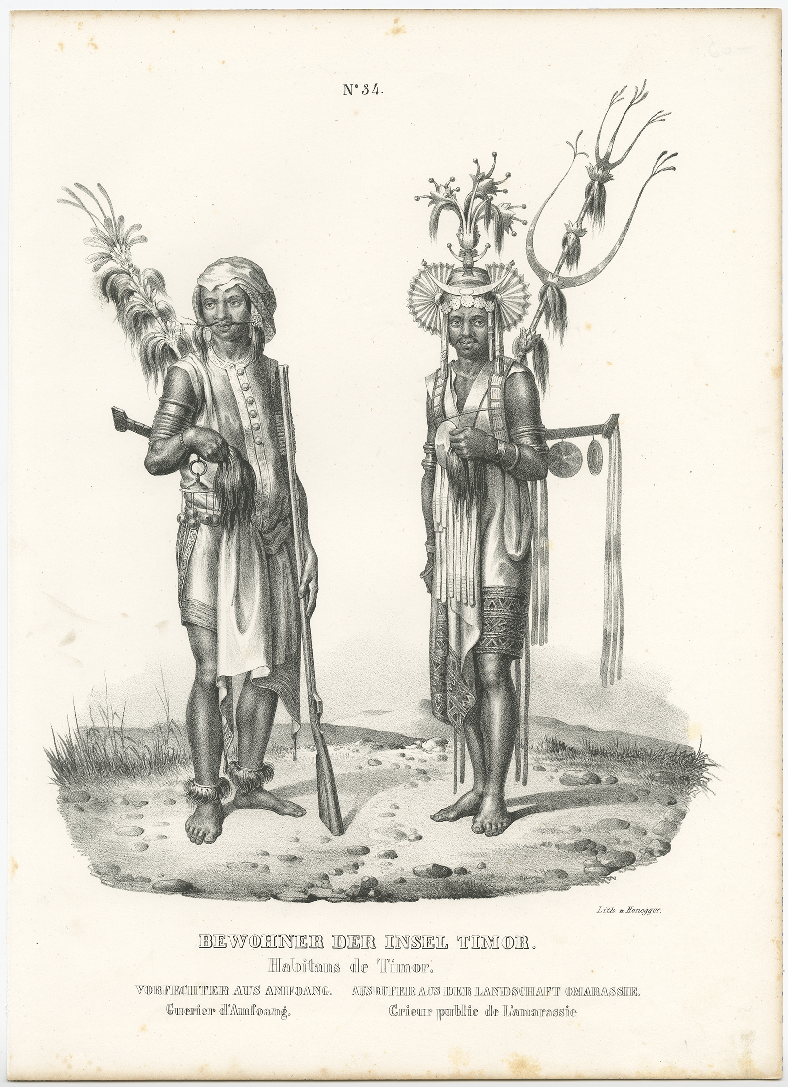
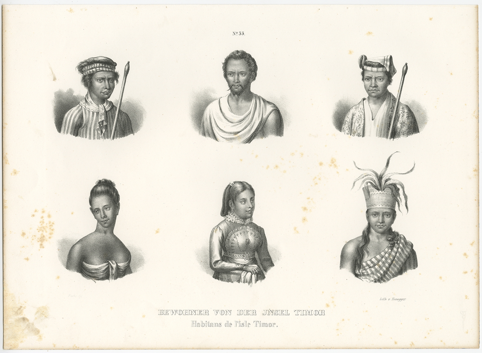
Antique Print of Inhabitants of Timor by Honegger (c.1845)
Antique Maps, Plans & Charts
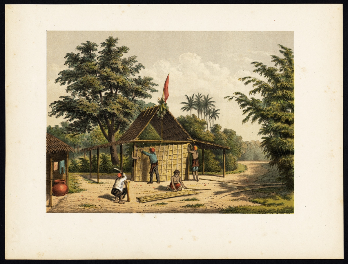
Antique Print of Kampong Djambattan (Java) by Perelaer (1888)
Antique Maps, Plans & Charts
Antique Print of Kampong Pakalang (Java) by Perelaer (1888)
Antique Maps, Plans & Charts
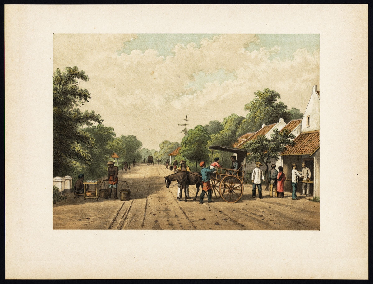
Antique Print of locals in Batavia by Perelaer (1888)
Antique Maps, Plans & Charts
Antique Print of Makassar by Perelaer (1888)
Antique Maps, Plans & Charts
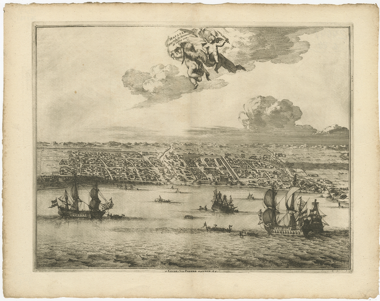
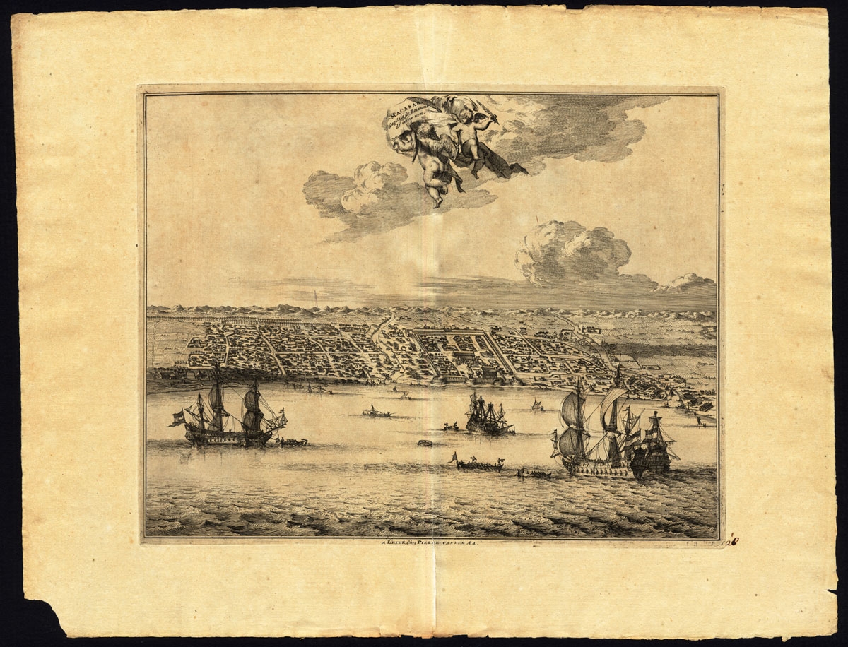
Antique Print of Makassar by Van der Aa (c.1725)
Antique Maps, Plans & Charts
Antique Print of Makassar by Van der Aa (c.1725)
Antique Maps, Plans & Charts
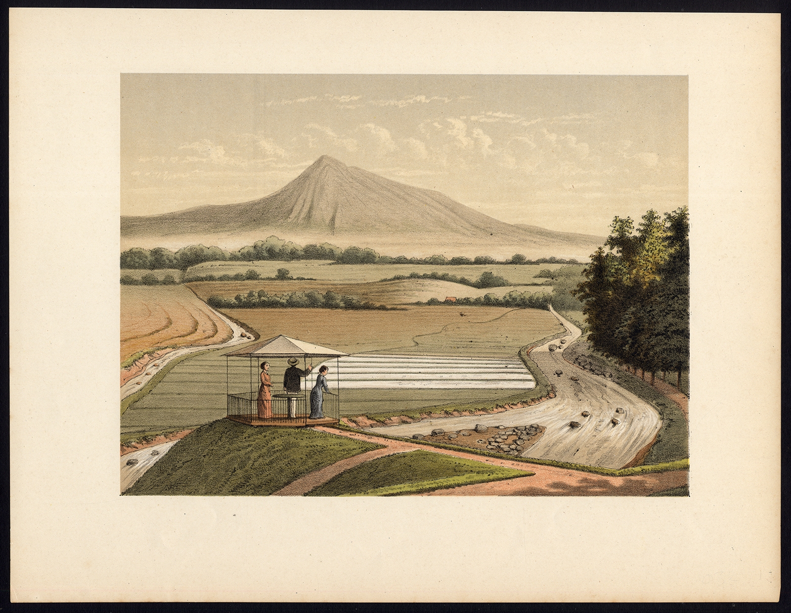
Antique Print of Mount Pangrango ‘Java’ by Perelaer (1888)
Antique Maps, Plans & Charts
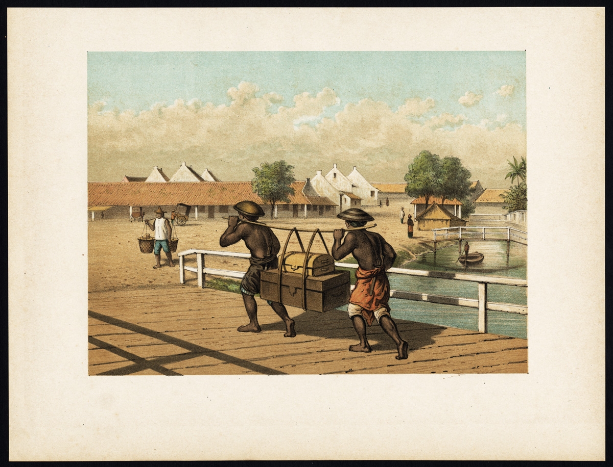
Antique Print of native ‘koelies’ or carriers on Java by Perelaer (1888)
Antique Maps, Plans & Charts
Antique Print of Natives from Timor by Honegger (c.1845)
Antique Maps, Plans & Charts
Antique Print of Natives of Ombai by Honegger (c.1845)
←
1
2
3
…
24
25
26
27
28
29
30
…
80
81
82
→
Visit Gallery
WhatsApp
Shop Online
Location
Scroll to Top