Skip to content
Maps of Asia
Dutch East Indies
Jakarta Collection
Visit Us
Contact
Shop Online Worldwide
Shop Online Worldwide
Main Menu
Maps of Asia
Dutch East Indies
Jakarta Collection
Visit Us
Contact
Home
/
Antique Maps, Plans & Charts
/ Page 29
Antique Maps, Plans & Charts
Showing 337–348 of 979 results
Default sorting
Sort by popularity
Sort by latest
Sort by price: low to high
Sort by price: high to low
Antique Maps, Plans & Charts
Antique Print of Surate and a plan of Batavia by Chatelain (1719)
Antique Maps, Plans & Charts
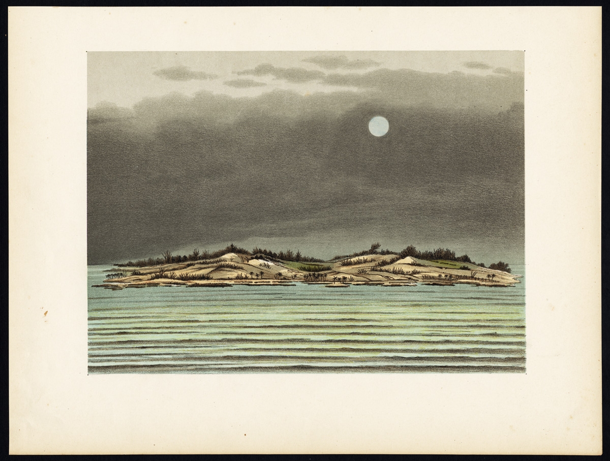
Antique Print of Tanjung Belimbing by Perelaer (1888)
Antique Maps, Plans & Charts
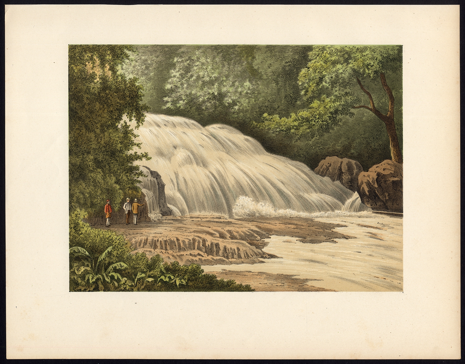
Antique Print of the Bantimurung Waterfall by Perelaer (1888)
Antique Maps, Plans & Charts
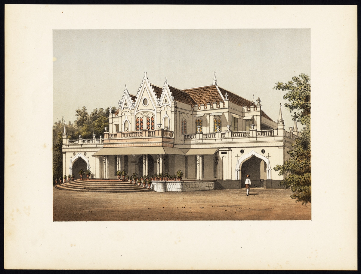
Antique Print of the Bellevue Hotel on Java by Perelaer (1888)
Antique Maps, Plans & Charts
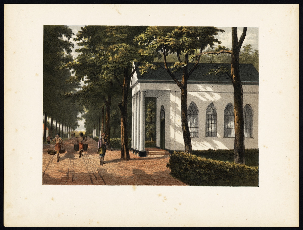
Antique Print of the Buitenzorg Estate in Batavia by Perelaer (1888)
Antique Maps, Plans & Charts
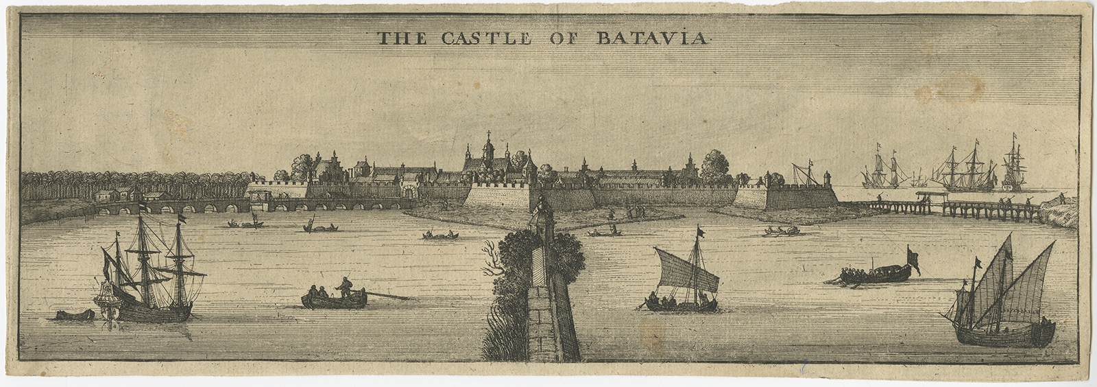
Antique Print of the Castle of Batavia by Nieuhof (1669)
Antique Maps, Plans & Charts
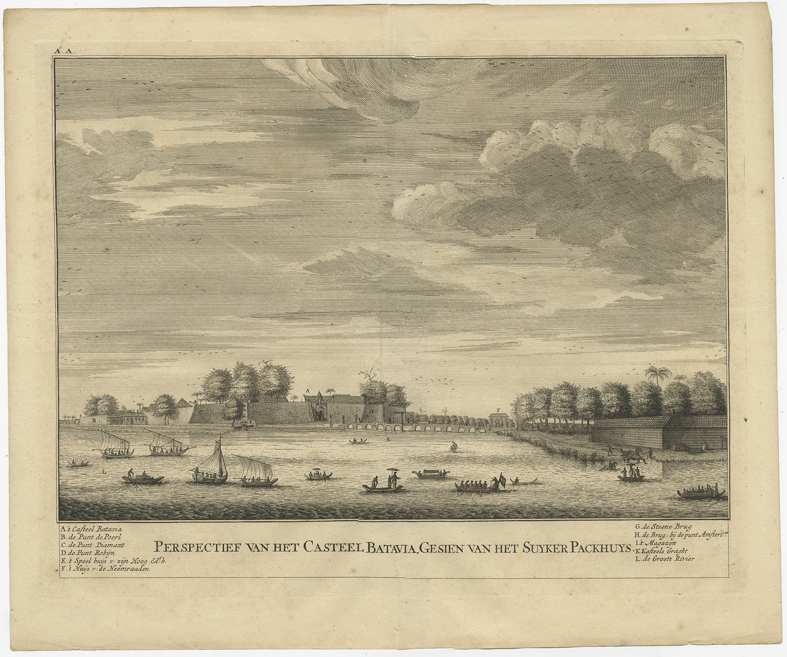
Antique Print of the Castle of Batavia by Valentijn (1726)
Antique Maps, Plans & Charts
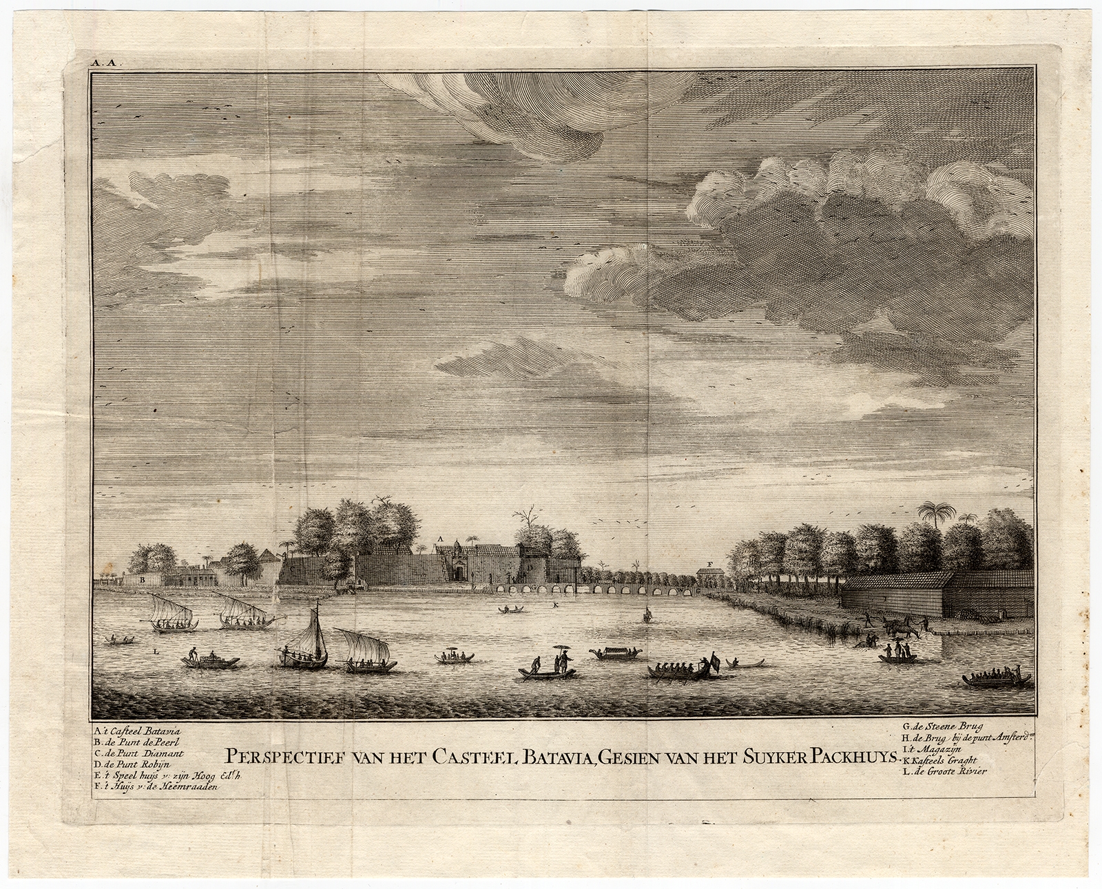
Antique Print of the Castle of Batavia by Valentijn (1726)
Antique Maps, Plans & Charts
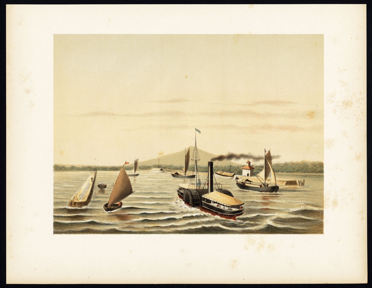
Antique Print of the Ciliwung Paddle Steamer by Perelaer (1888)
Antique Maps, Plans & Charts
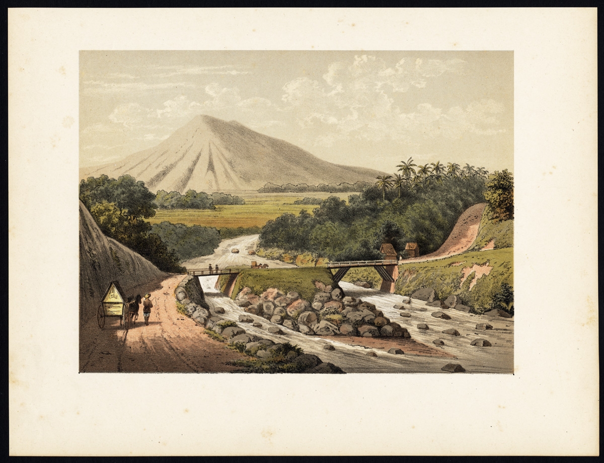
Antique Print of the Ciliwung River by Perelaer (1888)
Antique Maps, Plans & Charts
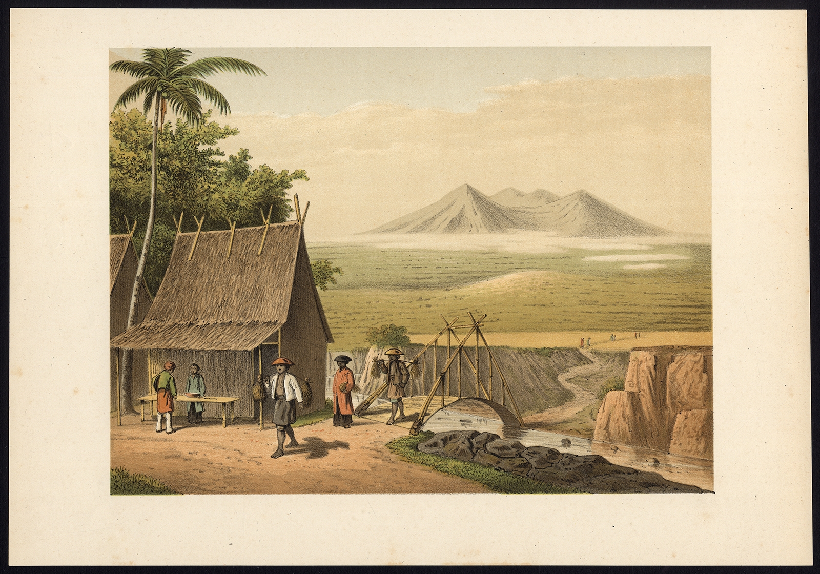
Antique Print of the Cipancar River by Perelaer (1888)
Antique Maps, Plans & Charts
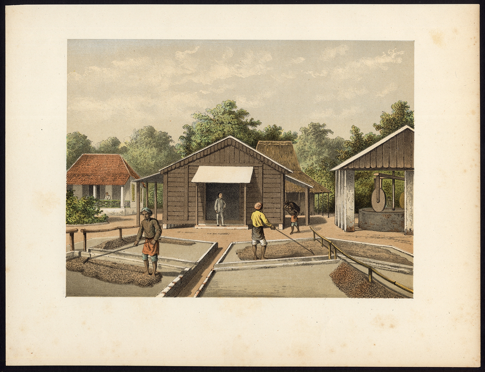
Antique Print of the Coffee Beans production on Sumatra by Perelaer (1888)
←
1
2
3
…
26
27
28
29
30
31
32
…
80
81
82
→
Visit Gallery
WhatsApp
Shop Online
Location
Scroll to Top