Skip to content
Maps of Asia
Dutch East Indies
Jakarta Collection
Visit Us
Contact
Shop Online Worldwide
Shop Online Worldwide
Main Menu
Maps of Asia
Dutch East Indies
Jakarta Collection
Visit Us
Contact
Home
/
Antique Maps, Plans & Charts
/ Page 30
Antique Maps, Plans & Charts
Showing 349–360 of 979 results
Default sorting
Sort by popularity
Sort by latest
Sort by price: low to high
Sort by price: high to low
Antique Maps, Plans & Charts
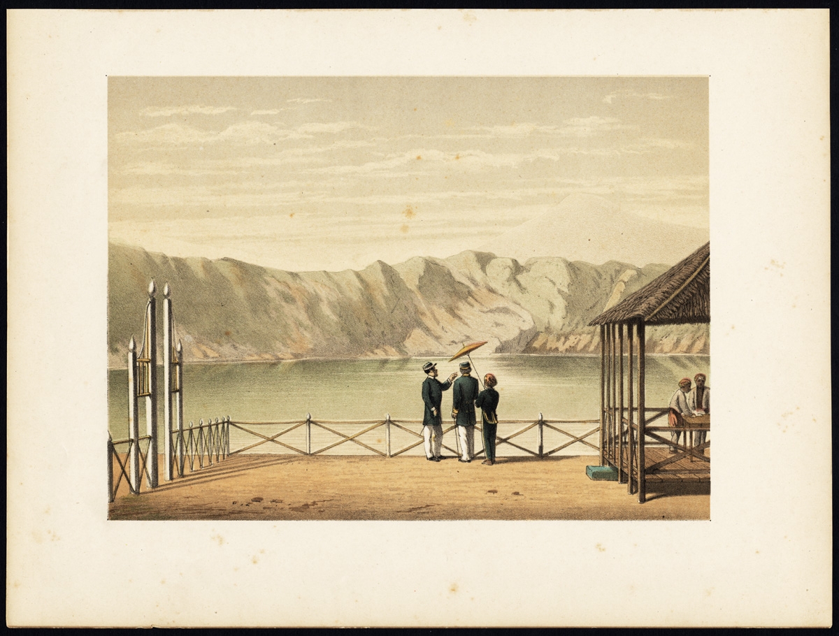
Antique Print of the Crater Lake on Java by Perelaer (1888)
Antique Maps, Plans & Charts
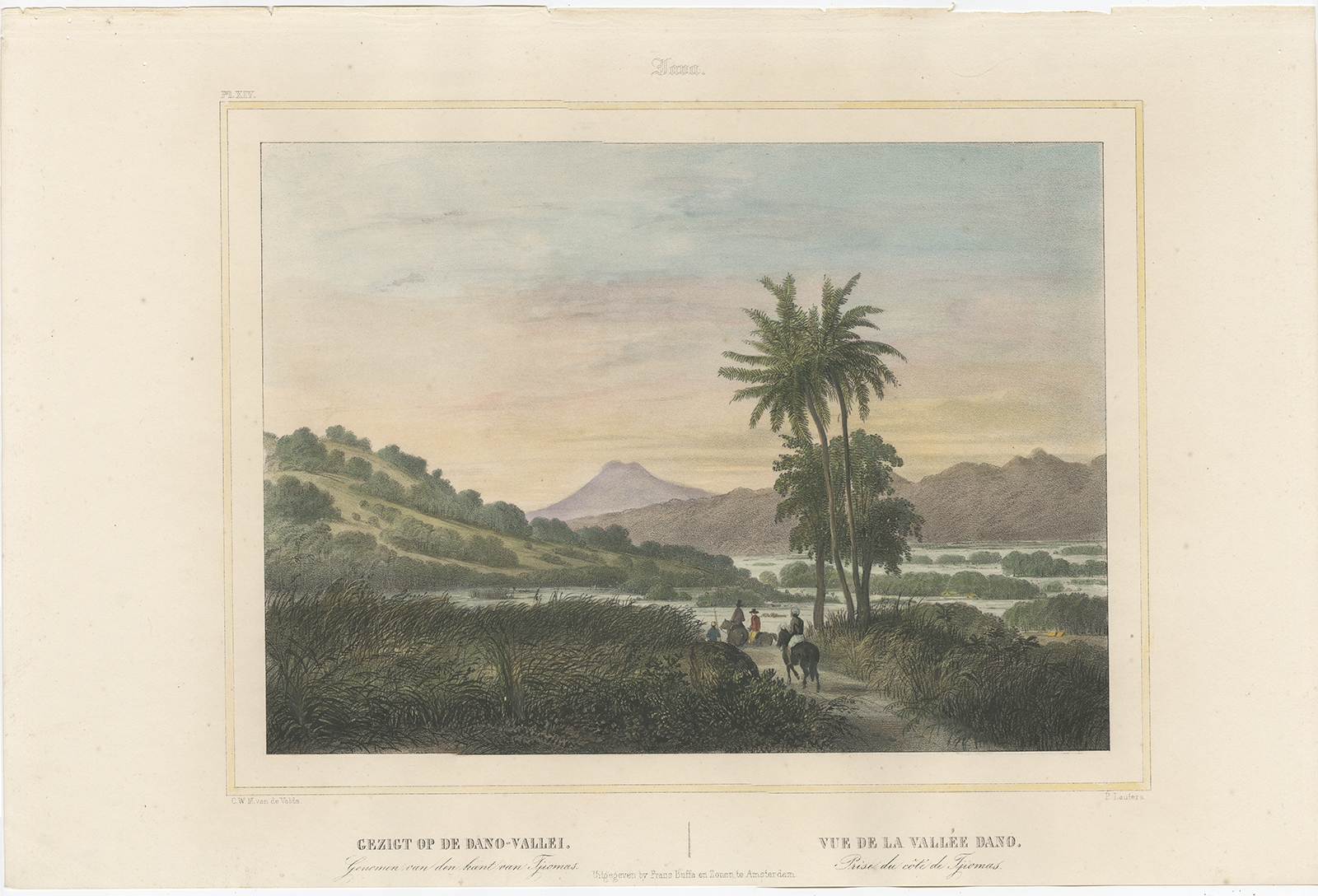
Antique Print of the Dano Valley by Lauters (1844)
Antique Maps, Plans & Charts
Antique Print of the Djati Forest by Perelaer (1888)
Antique Maps, Plans & Charts
Antique Print of the Empire Garden by Perelaer (1888)
Antique Maps, Plans & Charts
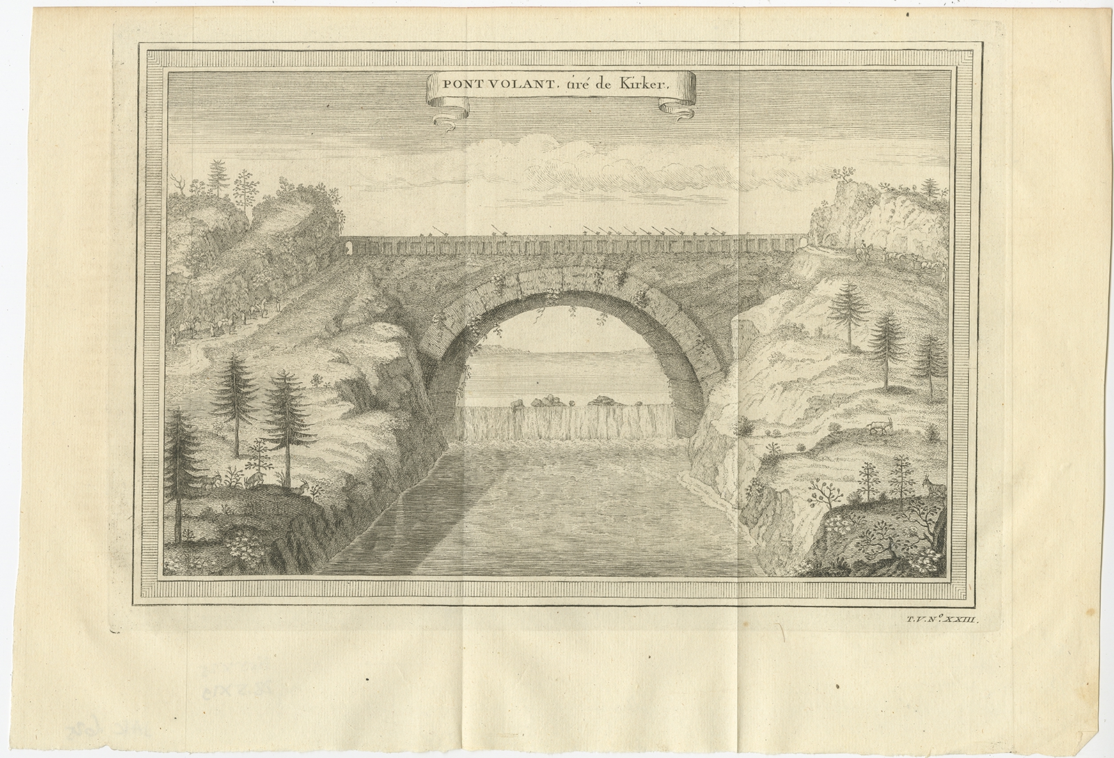
Antique Print of the Flying Bridge in China by Prévost (1746)
Antique Maps, Plans & Charts
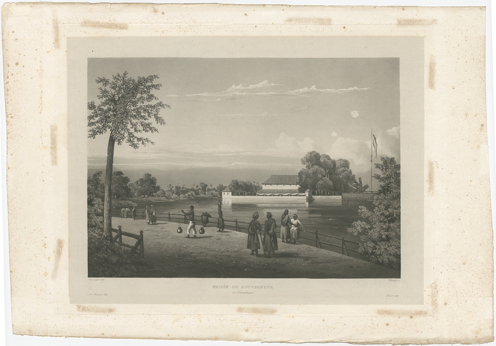
Antique Print of the Governor’s House in Surabaya by Himely (1835)
Antique Maps, Plans & Charts
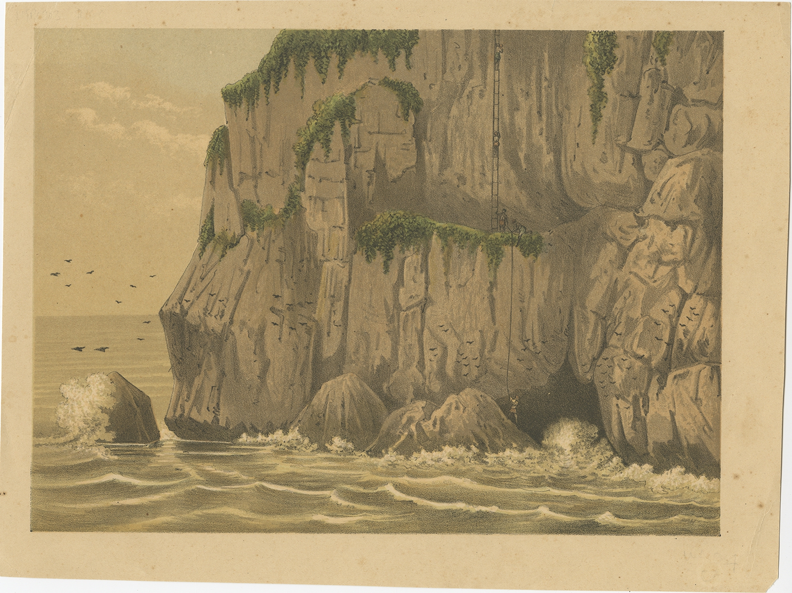
Antique Print of the Gunung Balong Mountain (Java) by Perelaer (1888)
Antique Maps, Plans & Charts
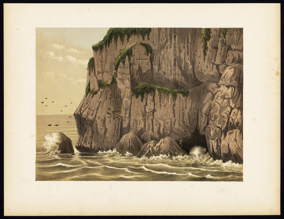
Antique Print of the Gunung Balong Mountain (Java) by Perelaer (1888)
Antique Maps, Plans & Charts
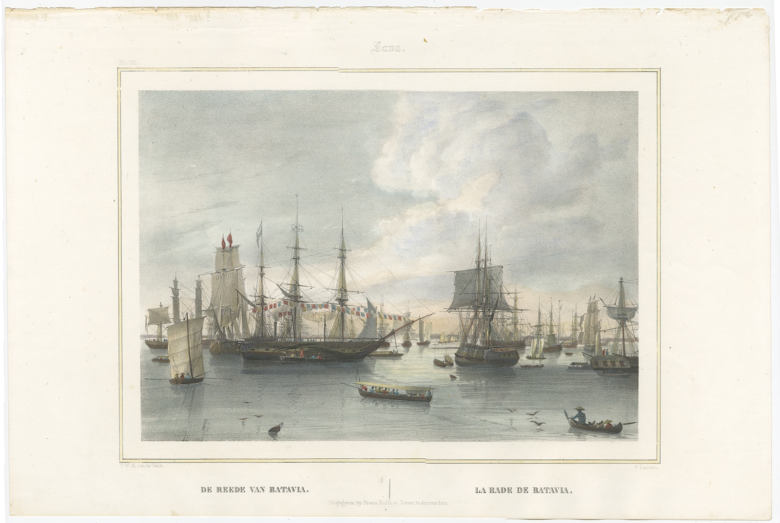
Antique Print of the Harbour of Batavia by Lauters (1844)
Antique Prints
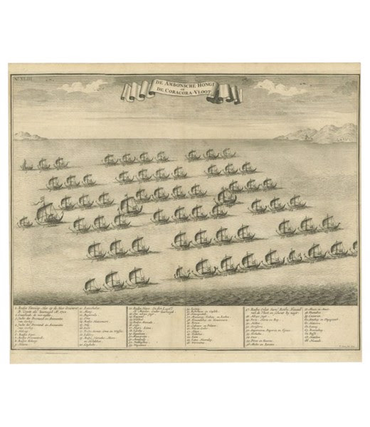
Antique Print of the Hongi or Cora Cora Fleet from Ambon – Valentijn (c.1726)
Antique Maps, Plans & Charts
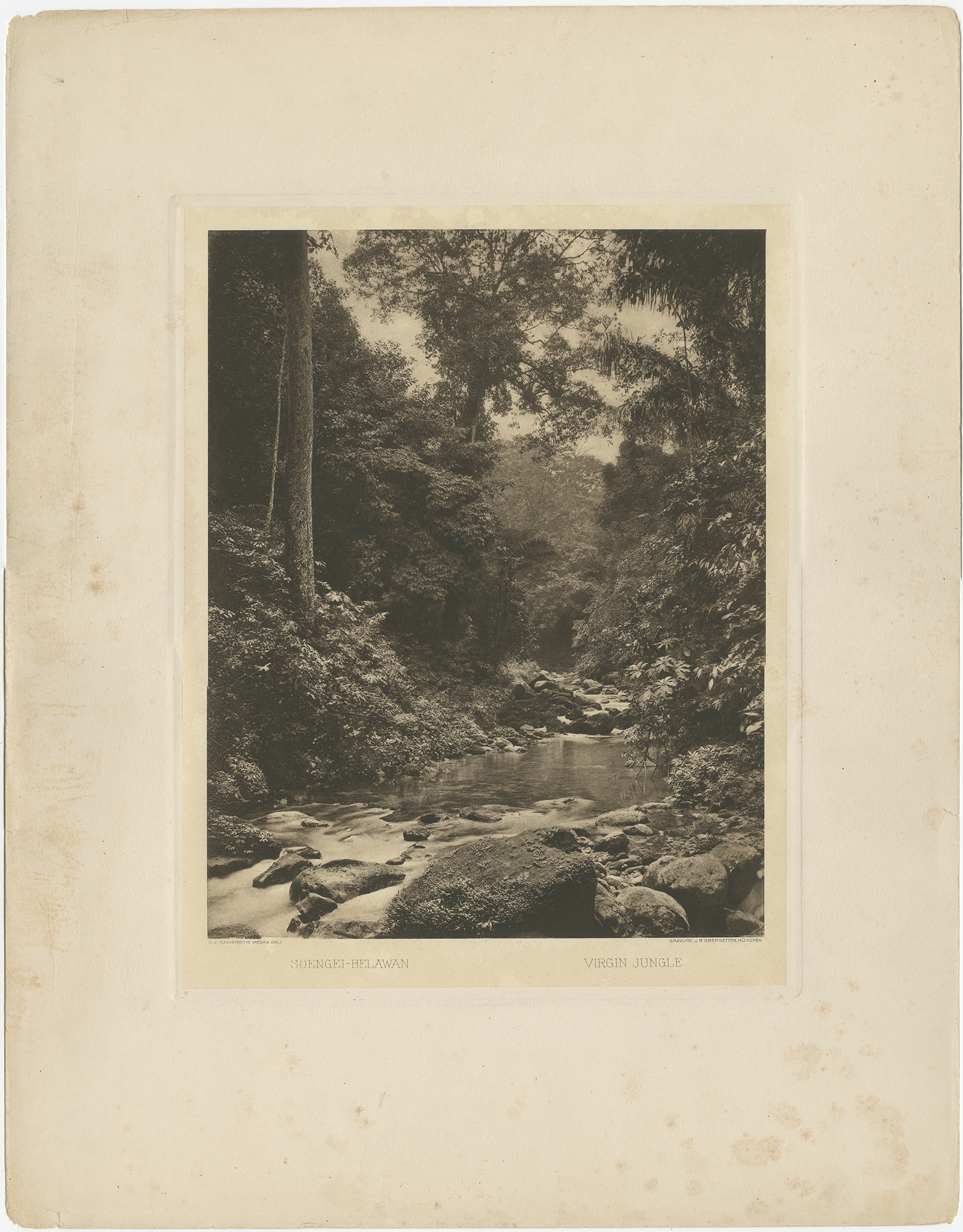
Antique Print of the Jungle and Sungai Belawan river by Kleingrothe (c.1910)
Animal Prints
Antique Print of the Male Ruff Bird by Albin (c.1738)
←
1
2
3
…
27
28
29
30
31
32
33
…
80
81
82
→
Visit Gallery
WhatsApp
Shop Online
Location
Scroll to Top