Skip to content
Maps of Asia
Dutch East Indies
Jakarta Collection
Visit Us
Contact
Shop Online Worldwide
Shop Online Worldwide
Main Menu
Maps of Asia
Dutch East Indies
Jakarta Collection
Visit Us
Contact
Home
/
Antique Maps, Plans & Charts
/ Page 31
Antique Maps, Plans & Charts
Showing 361–372 of 979 results
Default sorting
Sort by popularity
Sort by latest
Sort by price: low to high
Sort by price: high to low
Antique Maps, Plans & Charts
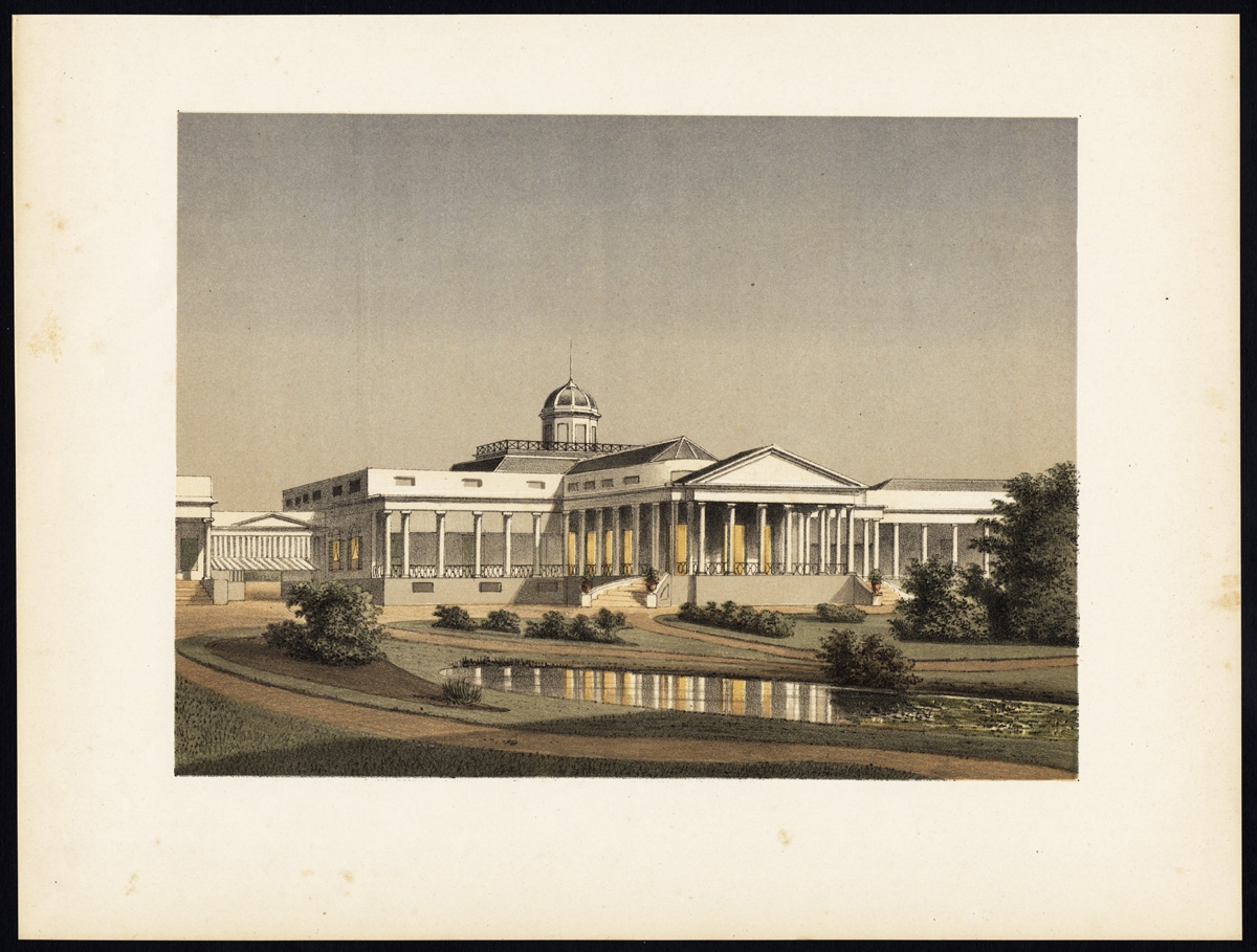
Antique Print of the Palace of the Governor-General in Buitenzorg by Perelaer (1888)
Antique Maps, Plans & Charts
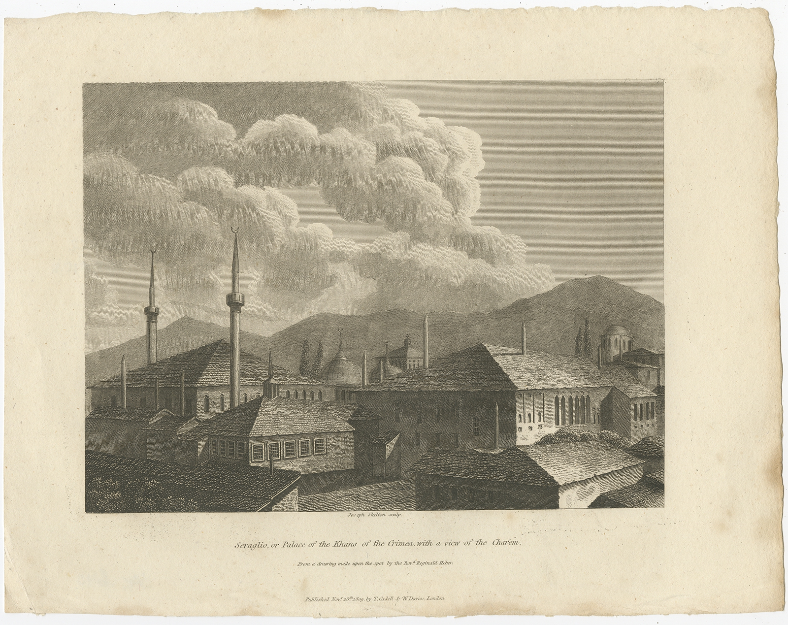
Antique Print of the Palace of the Khans of Crimea by Clarke (1811)
Antique Maps, Plans & Charts
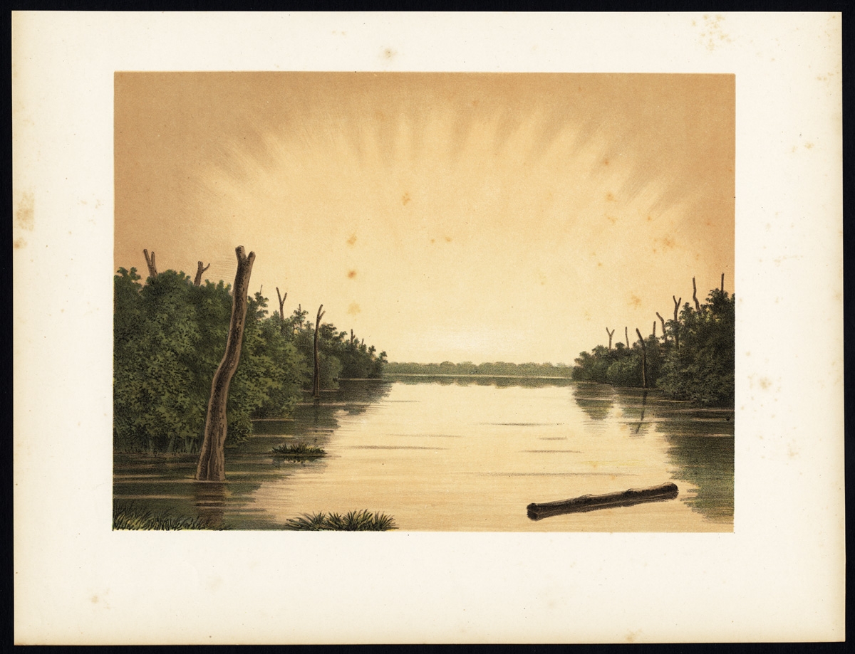
Antique Print of the Paminger Lakes by Perelaer (1888)
Antique Maps, Plans & Charts
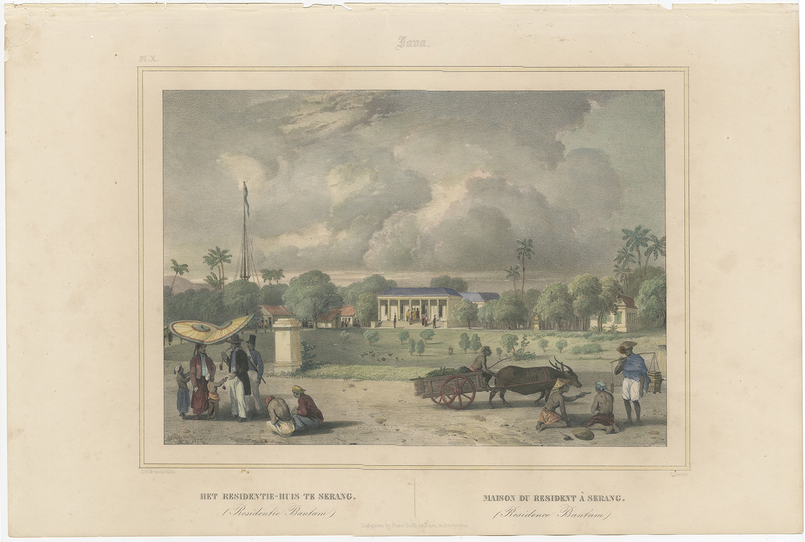
Antique Print of the residence house in Serang by Lauters (1844)
Antique Maps, Plans & Charts
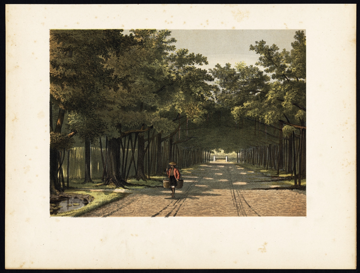
Antique Print of the Royal Arboretum in Batavia by Perelaer (1888)
Animal Prints
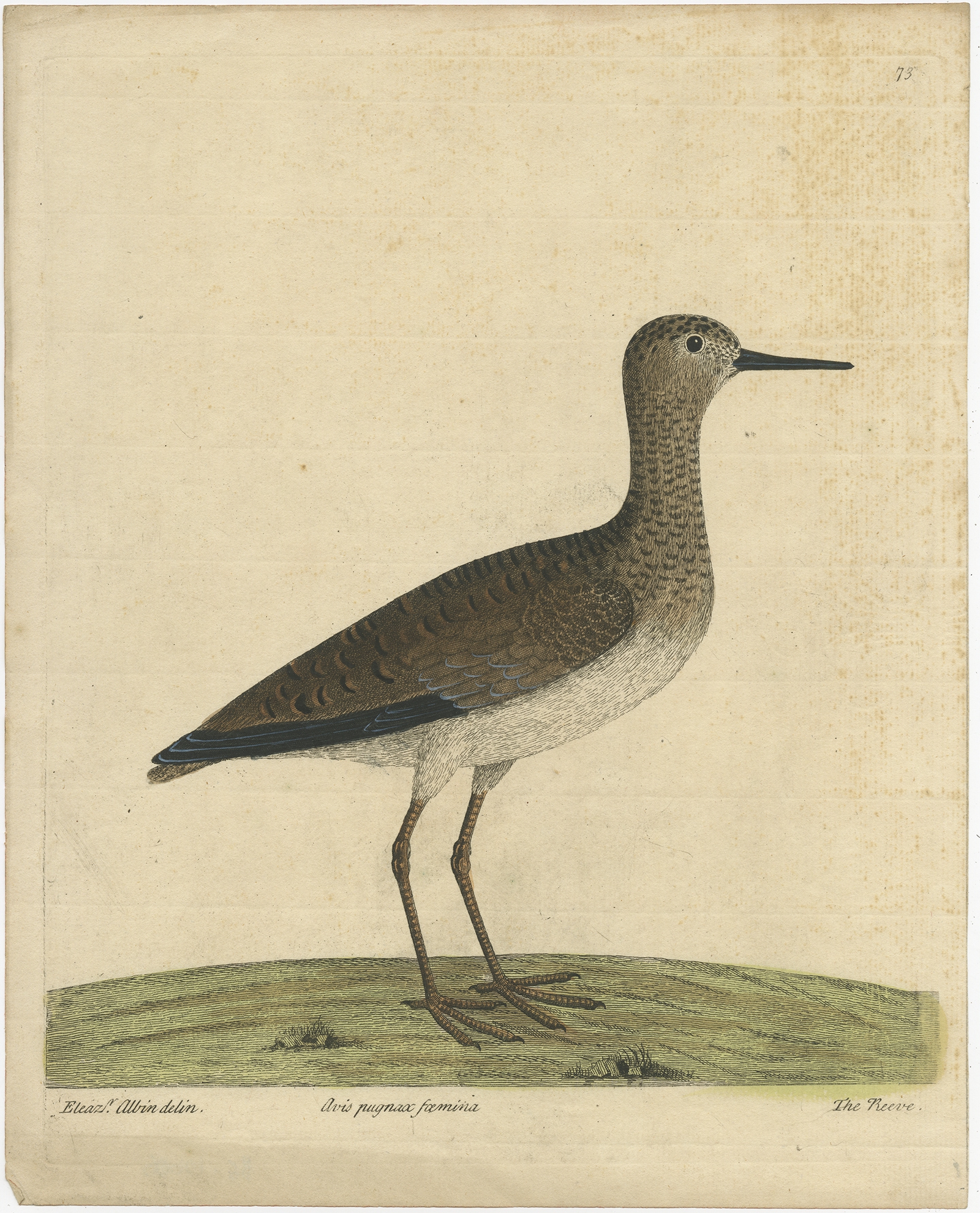
Antique Print of the Ruff Bird by Albin (c.1738)
Antique Maps, Plans & Charts
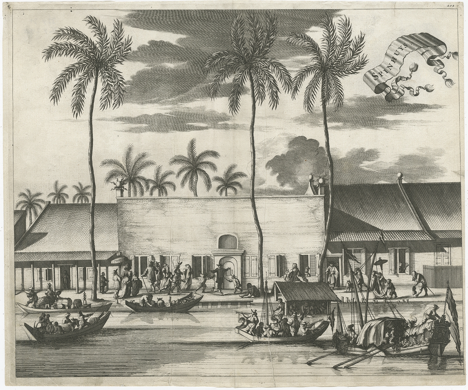
Antique Print of the Spinning House in Batavia by Nieuhof (1682)
Antique Maps, Plans & Charts
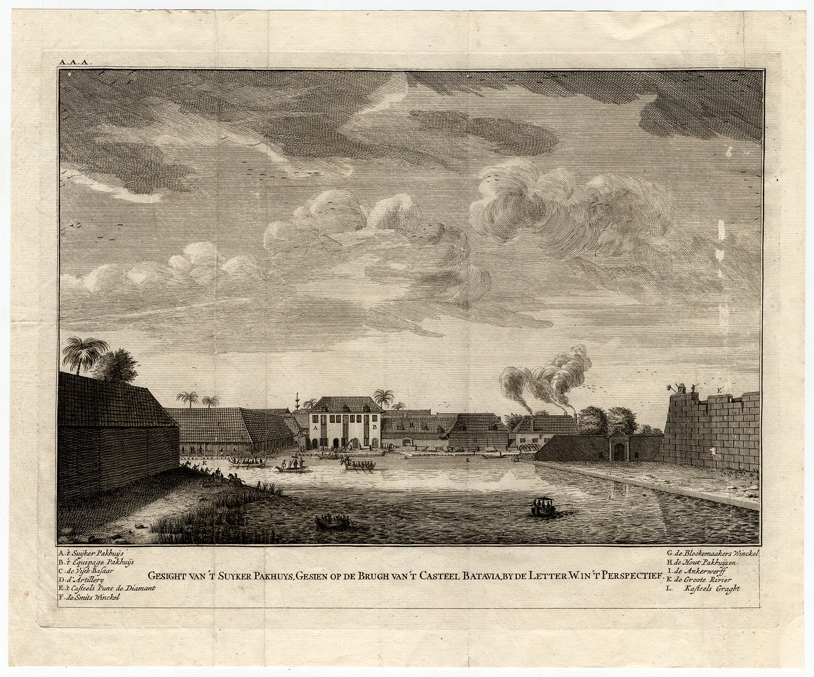
Antique Print of the Sugar Warehouse of Batavia by Valentijn (1726)
Antique Maps, Plans & Charts
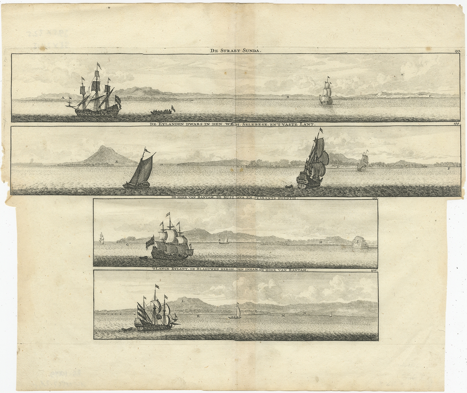
Antique Print of the Sunda Strait by de Bruyn (1714)
Antique Maps, Plans & Charts
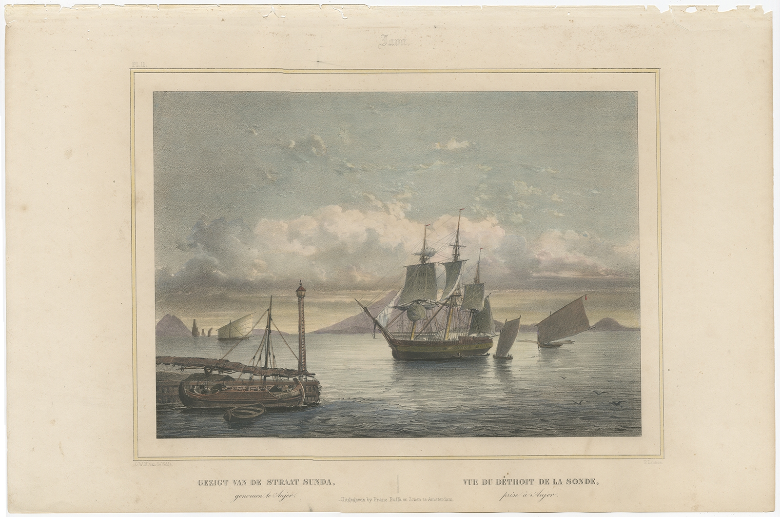
Antique Print of the Sunda Straits by Lauters (1844)
Antique Maps, Plans & Charts
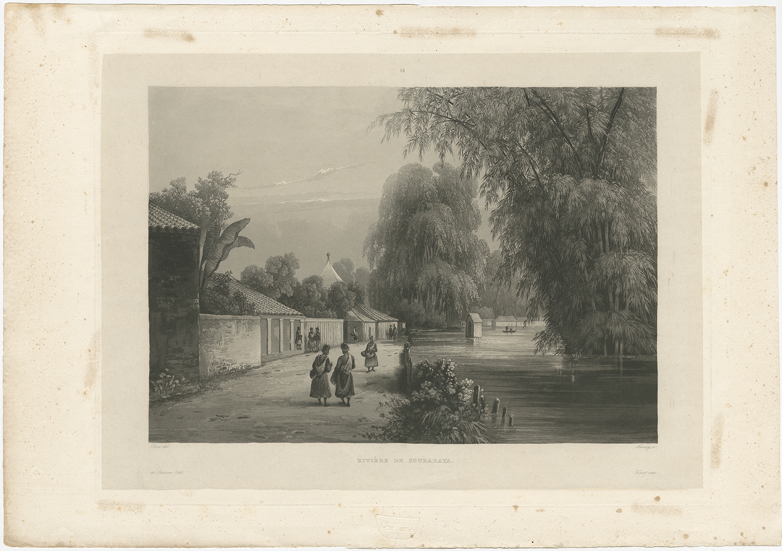
Antique Print of the Surabaya River by Himely (1835)
Antique Maps, Plans & Charts
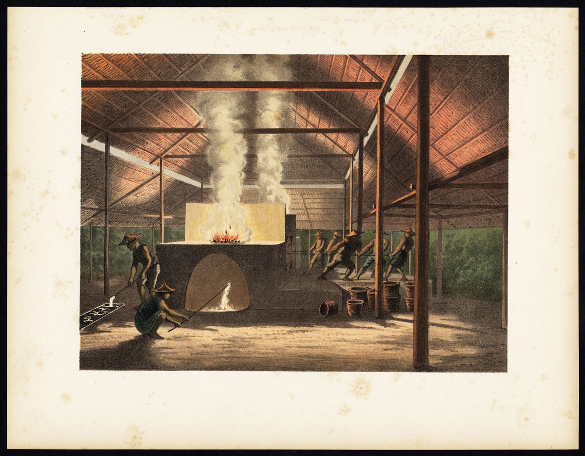
Antique Print of Tin Casting in Indonesia by Perelaer (1888)
←
1
2
3
…
28
29
30
31
32
33
34
…
80
81
82
→
Visit Gallery
WhatsApp
Shop Online
Location
Scroll to Top