Skip to content
Maps of Asia
Dutch East Indies
Jakarta Collection
Visit Us
Contact
Shop Online Worldwide
Shop Online Worldwide
Main Menu
Maps of Asia
Dutch East Indies
Jakarta Collection
Visit Us
Contact
Home
/
Antique Maps, Plans & Charts
/ Page 32
Antique Maps, Plans & Charts
Showing 373–384 of 979 results
Default sorting
Sort by popularity
Sort by latest
Sort by price: low to high
Sort by price: high to low
Antique Maps, Plans & Charts
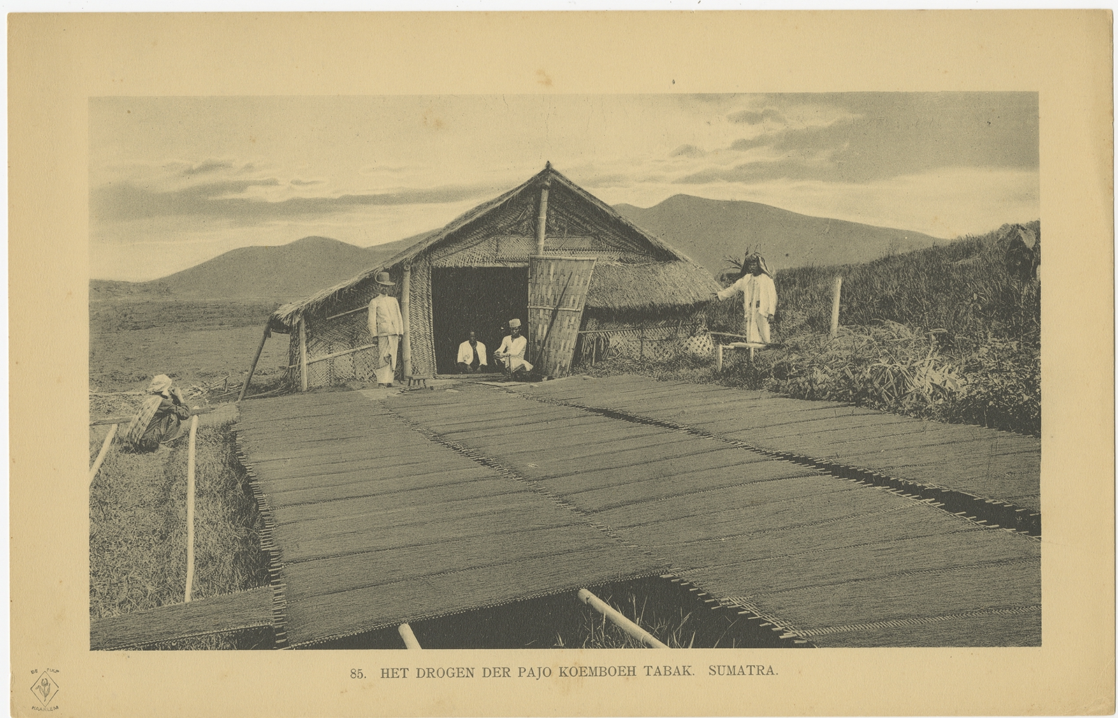
Antique Print of tobacco drying in Payakumbuh (1911)
Antique Maps, Plans & Charts
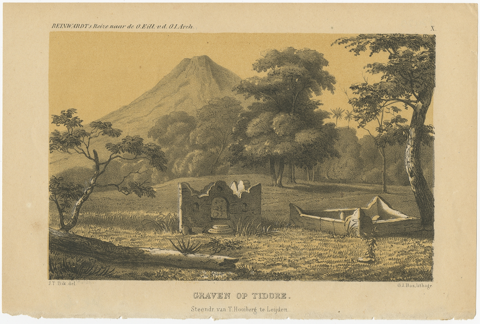
Antique Print of Tombs on Tidore by Reinwardt (1858)
Animal Prints
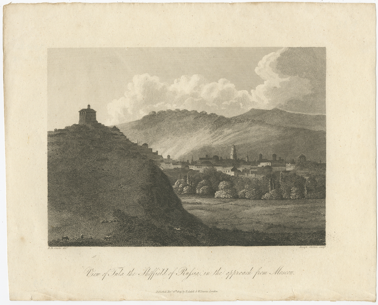
Antique Print of Tula by Clarke (1811)
Antique Maps, Plans & Charts
Antique Print of various Fruit of Asia by De Bruyn (1711)
Antique Maps, Plans & Charts
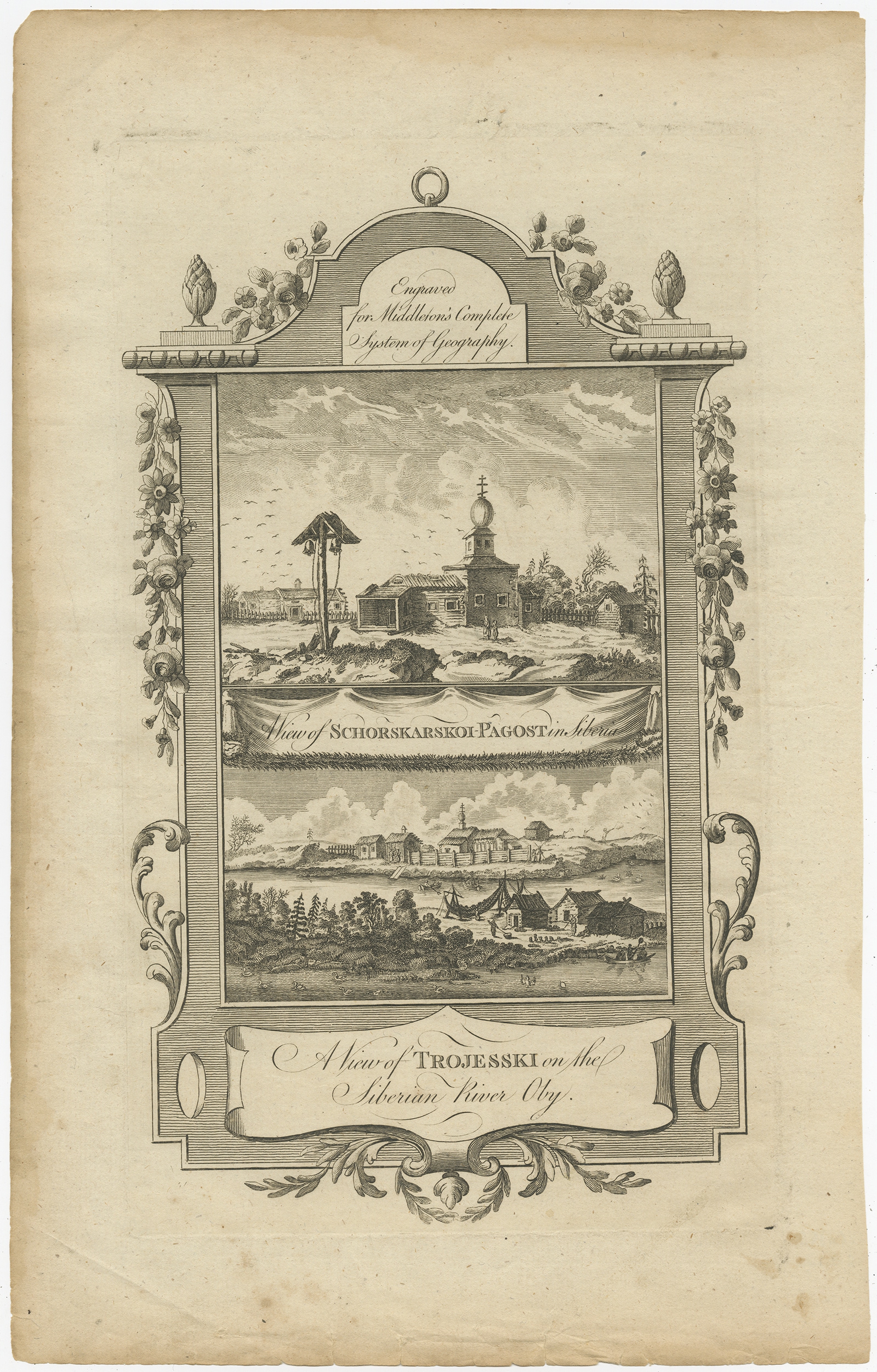
Antique Print of Villages near the Ob River by Middleton (c.1778)
Antique Maps, Plans & Charts
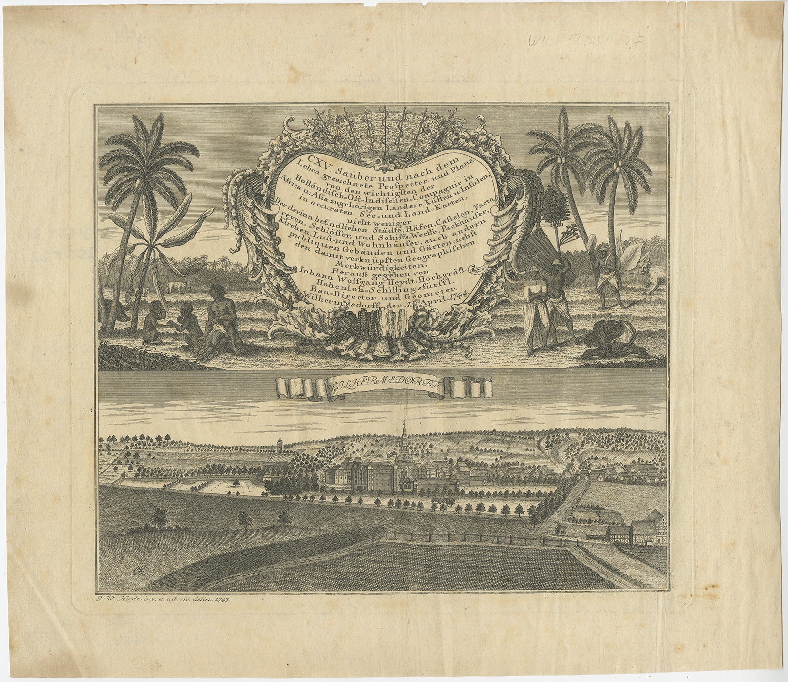
Antique Print of Wilhermsdorf by Heydt (1744)
Antique Maps, Plans & Charts
Antique Print of Women doing the Laundry in Batavia by Perelaer (1888)
Antique Maps, Plans & Charts
Antique Print with an allegorical portrait of Charles of Austria by De Hooghe (1704)
Antique Maps, Plans & Charts
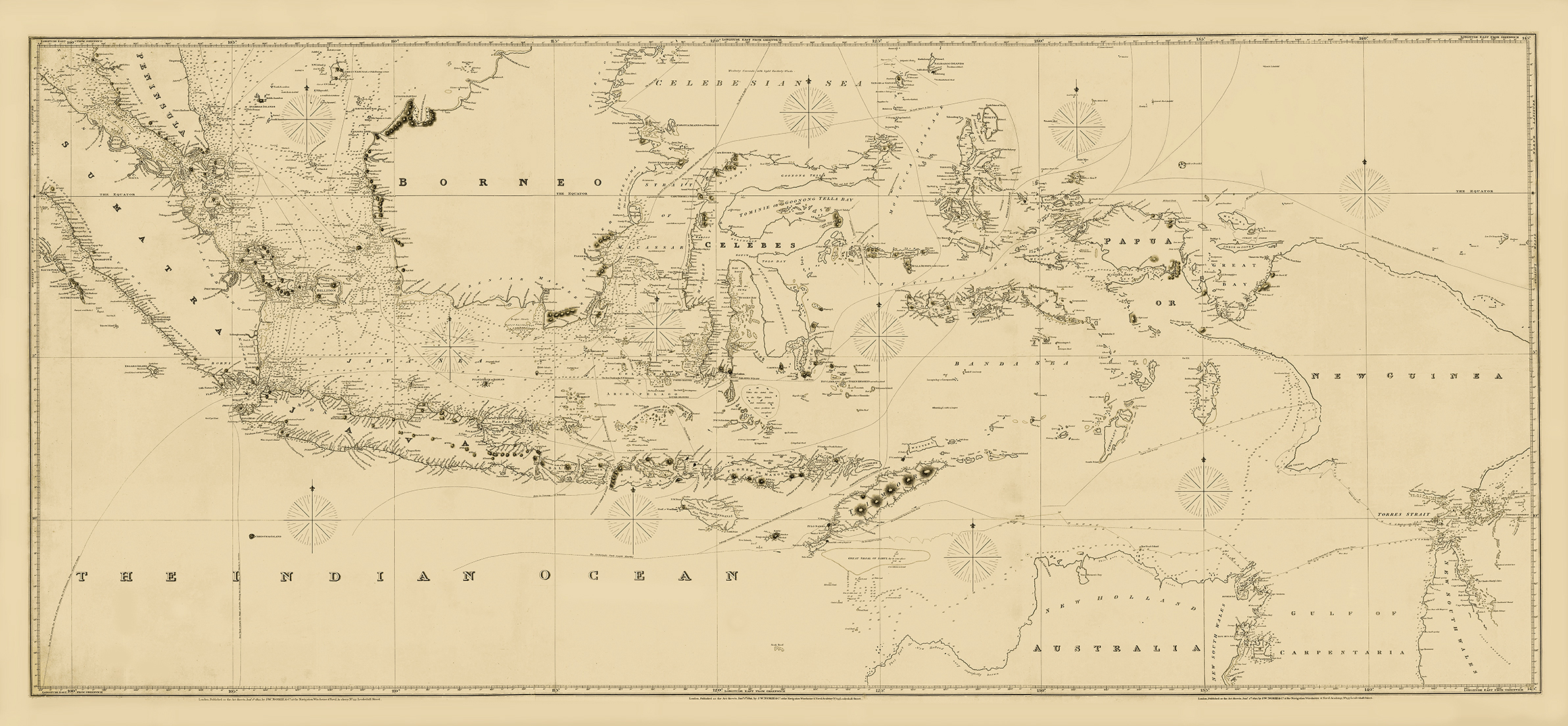
Antique Sea Chart of Indonesia by Norie (1821)
Antique Maps, Plans & Charts
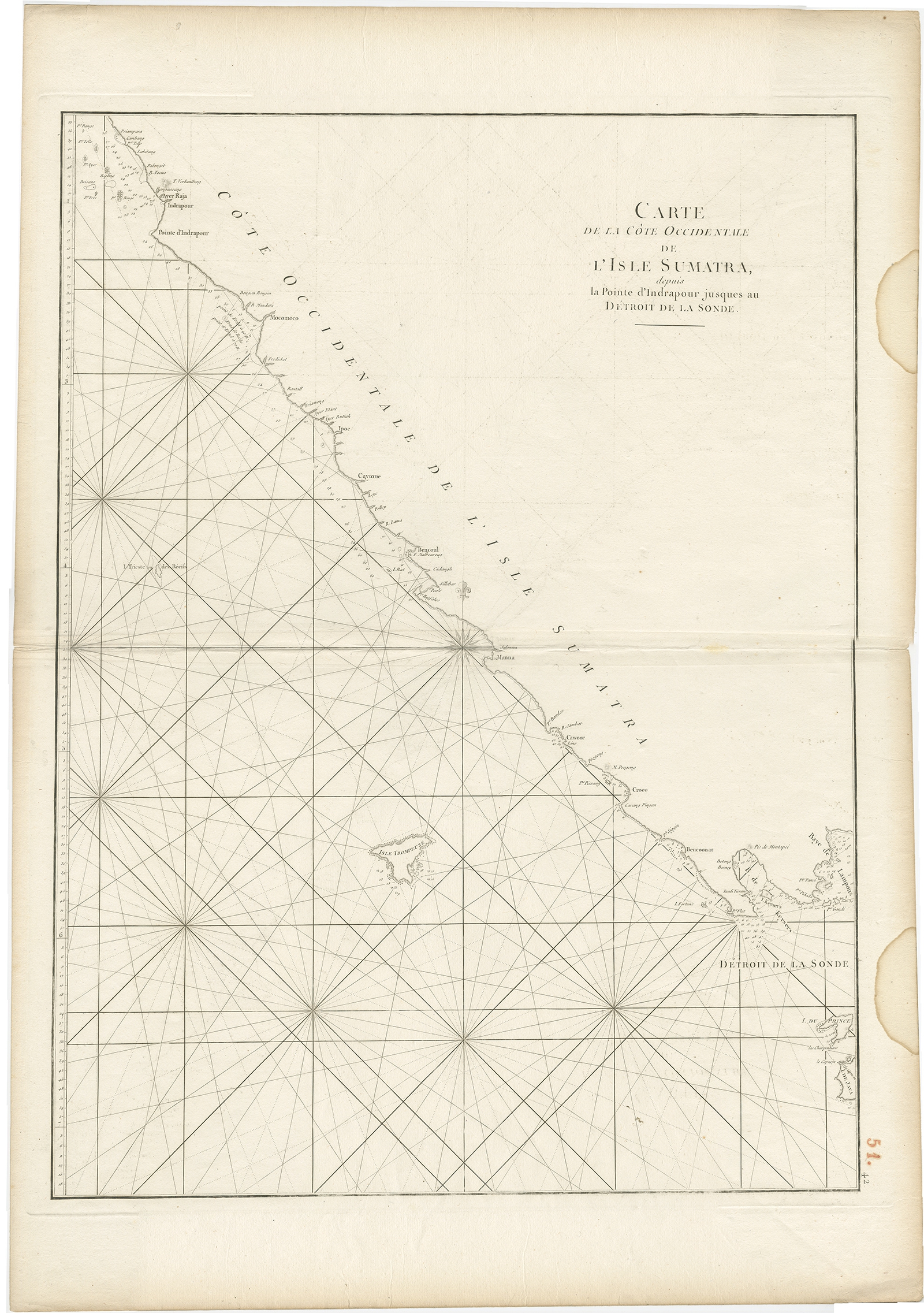
Antique Sea Chart of the Coast of Sumatra by Mannevillette (c.1775)
←
1
2
3
…
29
30
31
32
33
34
35
…
80
81
82
→
Visit Gallery
WhatsApp
Shop Online
Location
Scroll to Top