Antique Maps, Plans & Charts
Showing 433–444 of 979 results
- Antique Maps, Plans & Charts
Borneo, Iles de la Sonde, Celebes, Moluques et Phillippines – Garnier (1860)
- Antique Maps, Plans & Charts
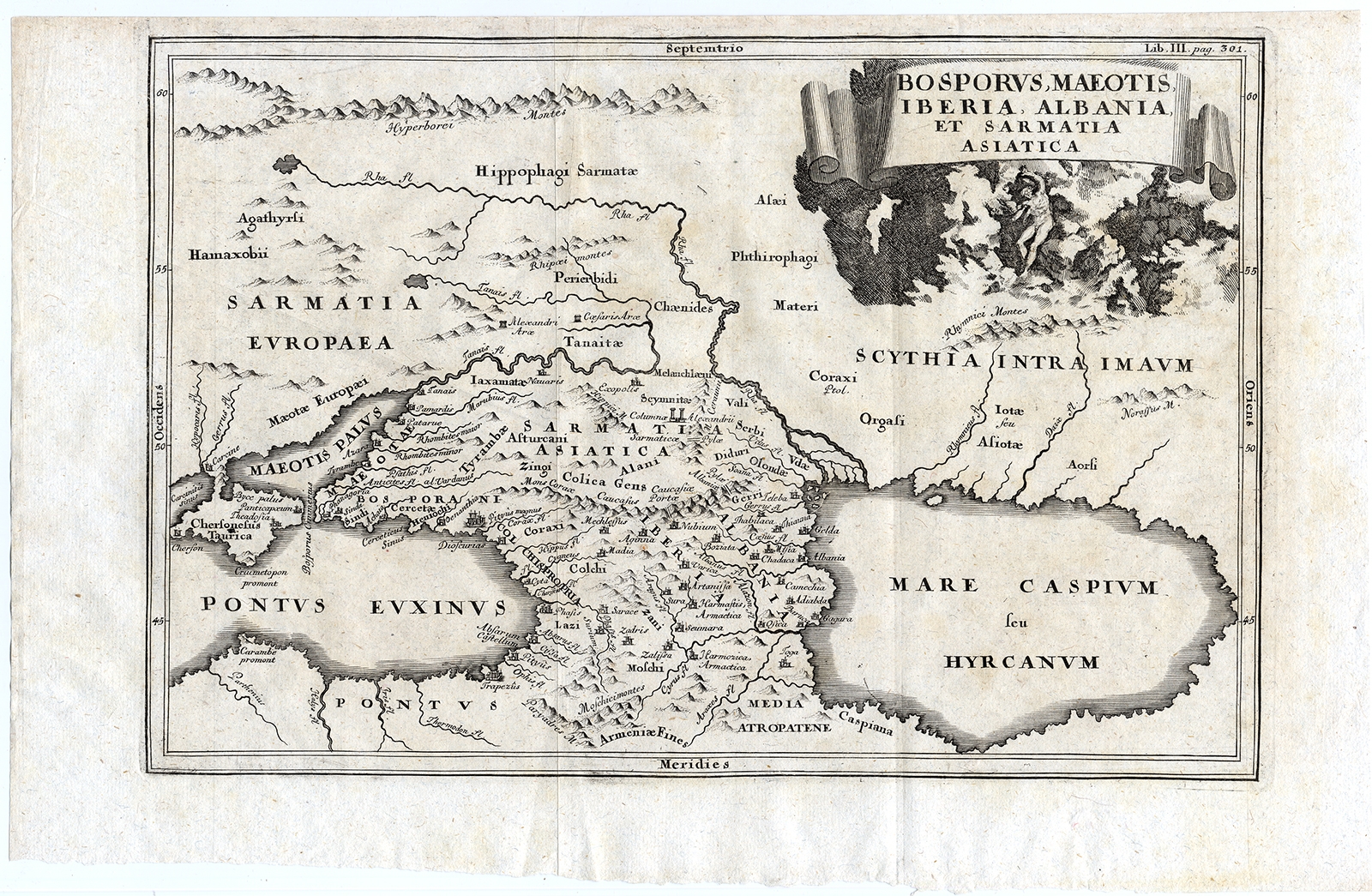
Bosporus, Maeotis, Iberia, Albania, et Sarmatia Asiatica – Cellarius (1731)
- Antique Maps, Plans & Charts
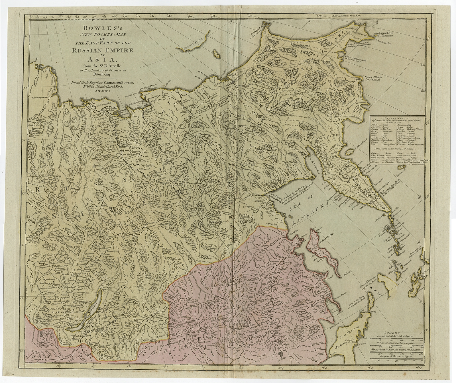
Bowles’s New Pocket Map of the East Part of the Russian Empire in Asia – Bowles (c.1780)
- Antique Maps, Plans & Charts
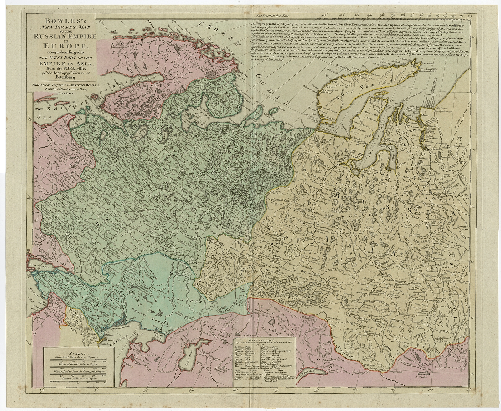
Bowles’s New Pocket Map of the Russian Empire in Europe – Bowles (c.1780)
- Antique Maps, Plans & Charts
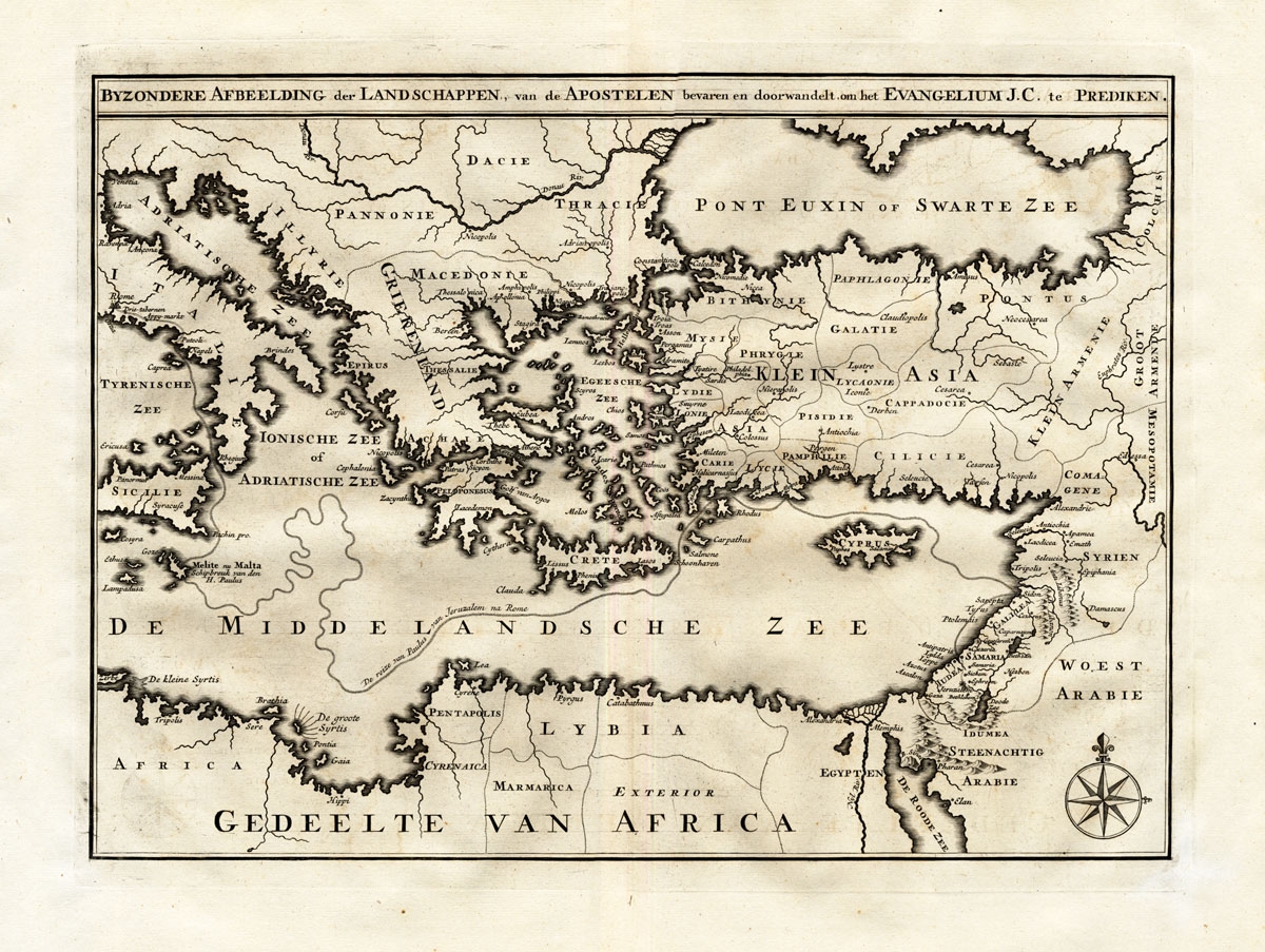
Byzondere Afbeelding der Landschappen, van de Apostelen – Calmet (1725)
- Antique Maps, Plans & Charts
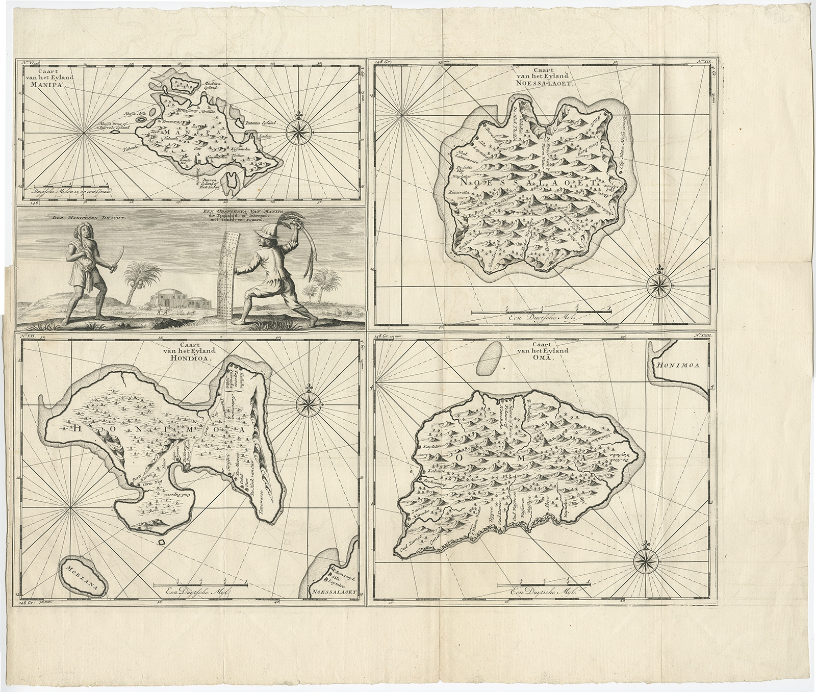
Caart van het Eyland Manipa, Noessa-Laoet, Honimoa, Oma (..) – Valentijn (1726)