Skip to content
Maps of Asia
Dutch East Indies
Jakarta Collection
Visit Us
Contact
Shop Online Worldwide
Shop Online Worldwide
Main Menu
Maps of Asia
Dutch East Indies
Jakarta Collection
Visit Us
Contact
Home
/
Antique Maps, Plans & Charts
/ Page 40
Antique Maps, Plans & Charts
Showing 469–480 of 979 results
Default sorting
Sort by popularity
Sort by latest
Sort by price: low to high
Sort by price: high to low
Antique Maps, Plans & Charts
Carte Generale des Decouvertes de l’Amiral de Fonte (..) – Diderot (1768)
Antique Maps, Plans & Charts
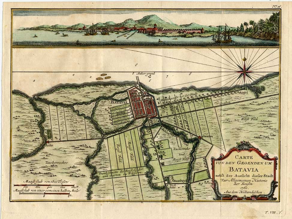
Carte von den Gegenden um Batavia (..) – Schwabe (1751)
Antique Maps, Plans & Charts
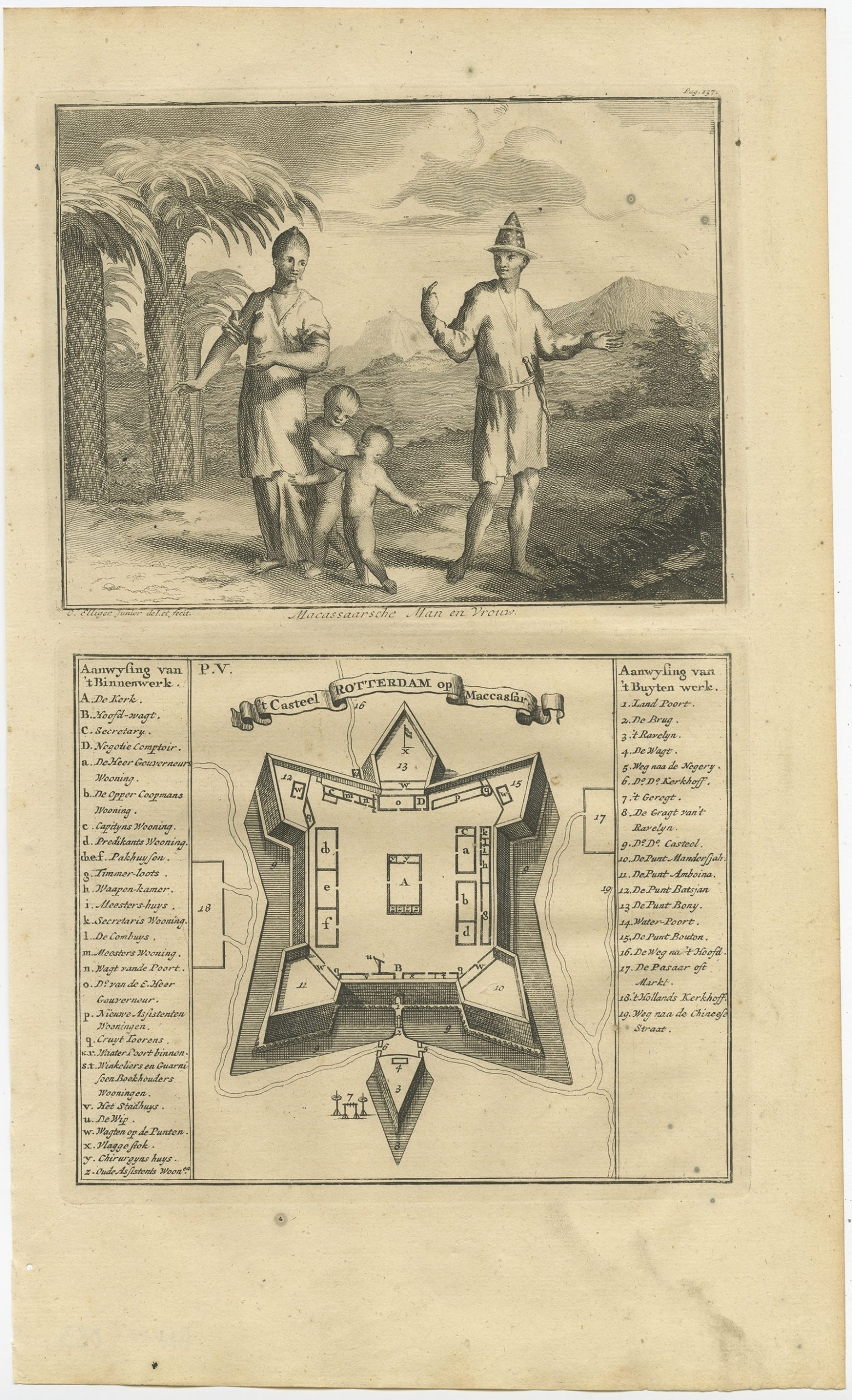
Casteel Rotterdam op Maccassar – Valentijn (1726)
Antique Maps, Plans & Charts
Celebes – Winkler Prins (c.1900)
Antique Maps, Plans & Charts
Central Asia – Archer (1841)
Antique Maps, Plans & Charts
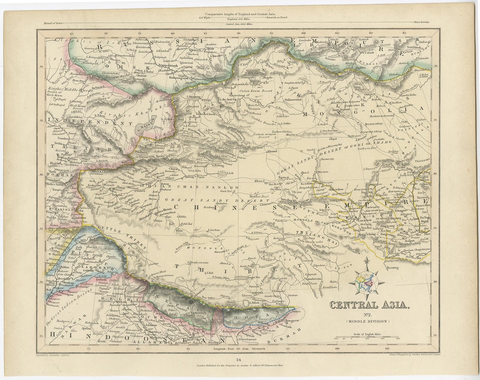
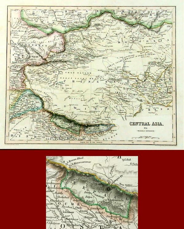
Central Asia – Middle Division – Archer (1841)
Antique Maps, Plans & Charts
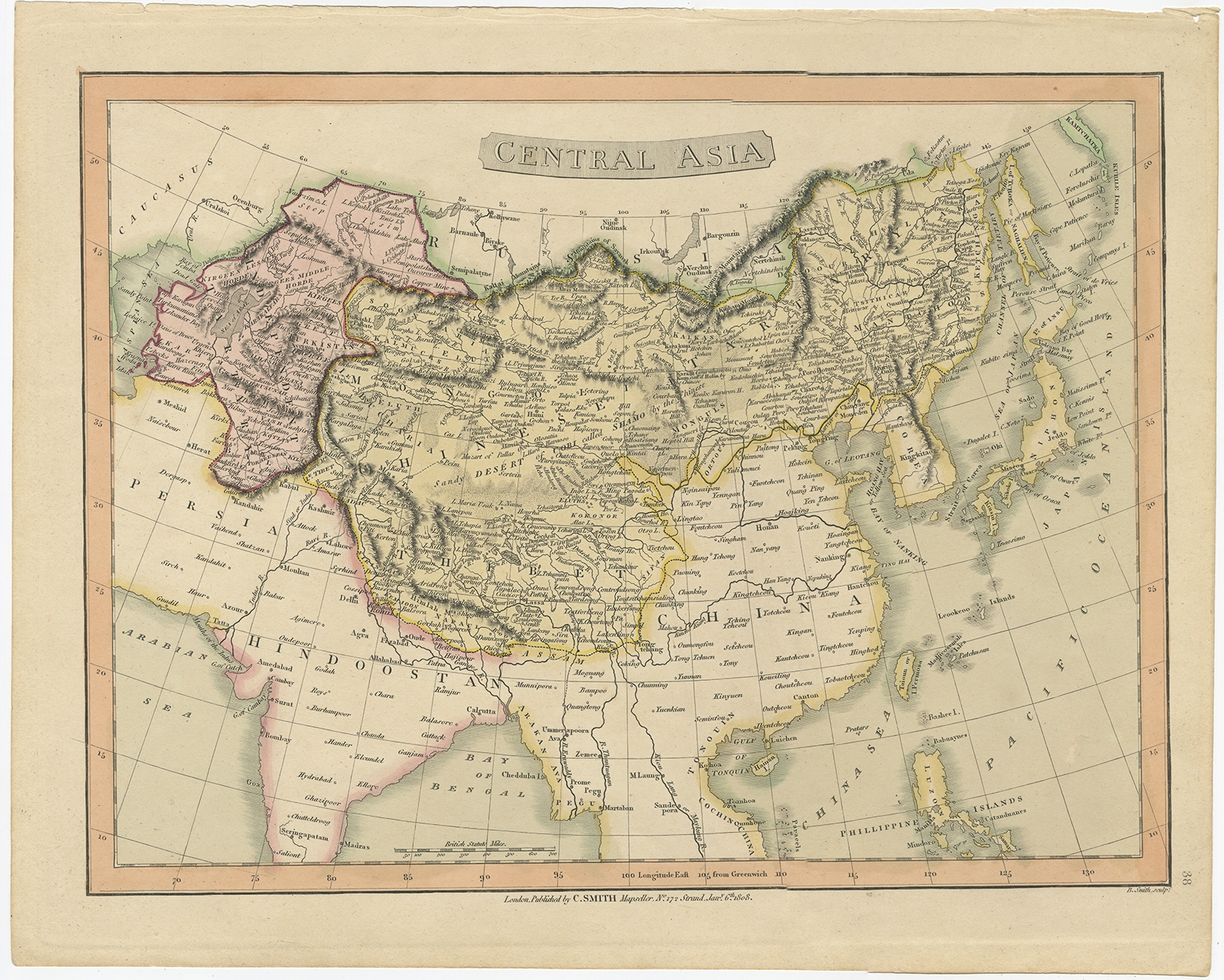
Central Asia – Smith (1808)
Antique Maps, Plans & Charts
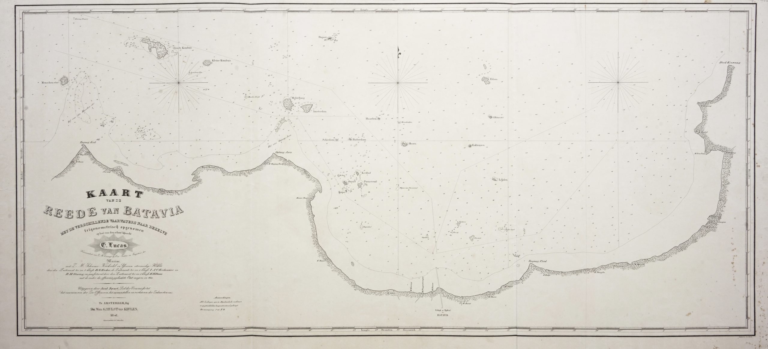
Chart of Batavia Harbour – Escher (c.1841)
Antique Maps, Plans & Charts
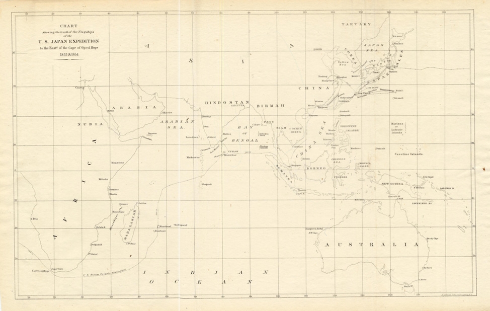
Chart showing the track of the Flagships.. – Perry (1855)
Antique Maps, Plans & Charts
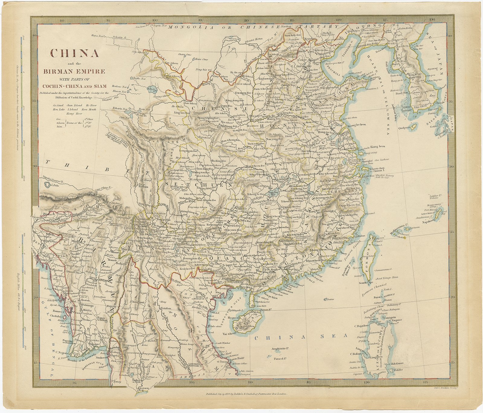
China and the Birman Empire (..) – Walker (1834)
Animal Prints
Chloris – Sepp & Nozeman (1770)
Antique Maps, Plans & Charts
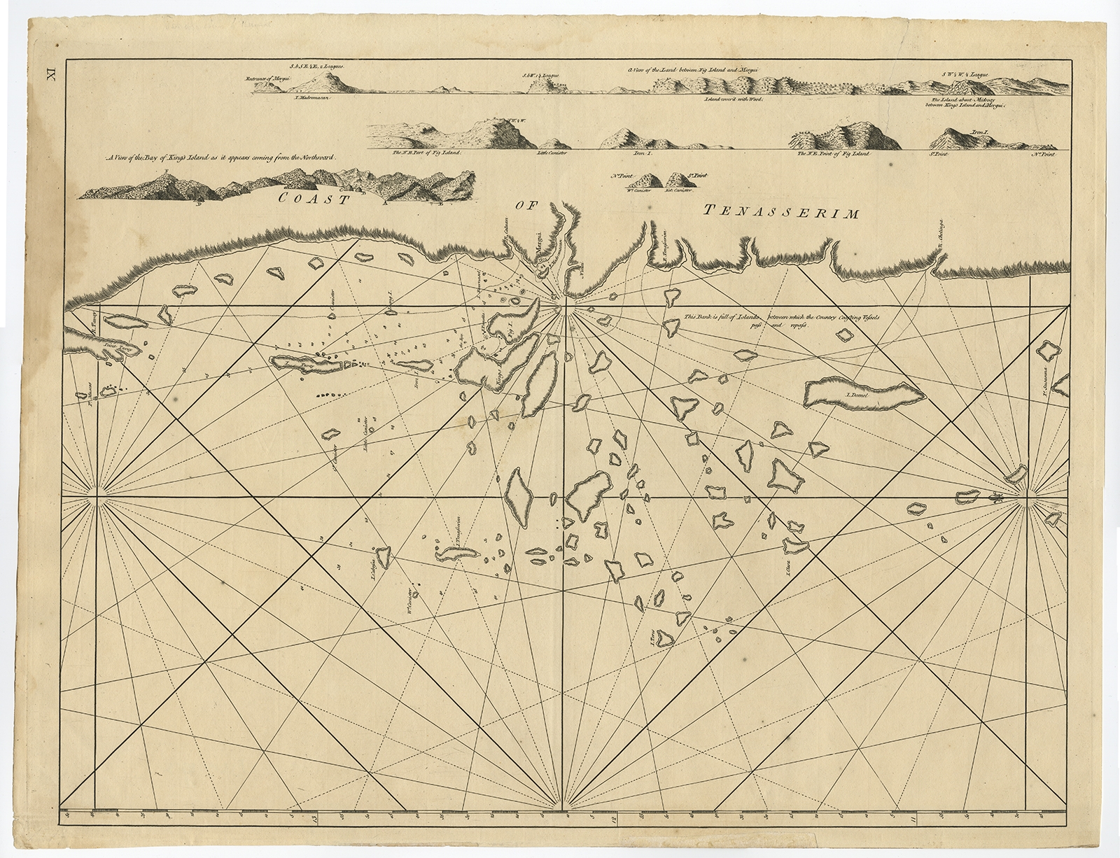
Coast of Tenasserim – Anonymous (c.1790)
←
1
2
3
…
37
38
39
40
41
42
43
…
80
81
82
→
Visit Gallery
WhatsApp
Shop Online
Location
Scroll to Top