Skip to content
Maps of Asia
Dutch East Indies
Jakarta Collection
Visit Us
Contact
Shop Online Worldwide
Shop Online Worldwide
Main Menu
Maps of Asia
Dutch East Indies
Jakarta Collection
Visit Us
Contact
Home
/
Antique Maps, Plans & Charts
/ Page 42
Antique Maps, Plans & Charts
Showing 493–504 of 979 results
Default sorting
Sort by popularity
Sort by latest
Sort by price: low to high
Sort by price: high to low
Antique Maps, Plans & Charts
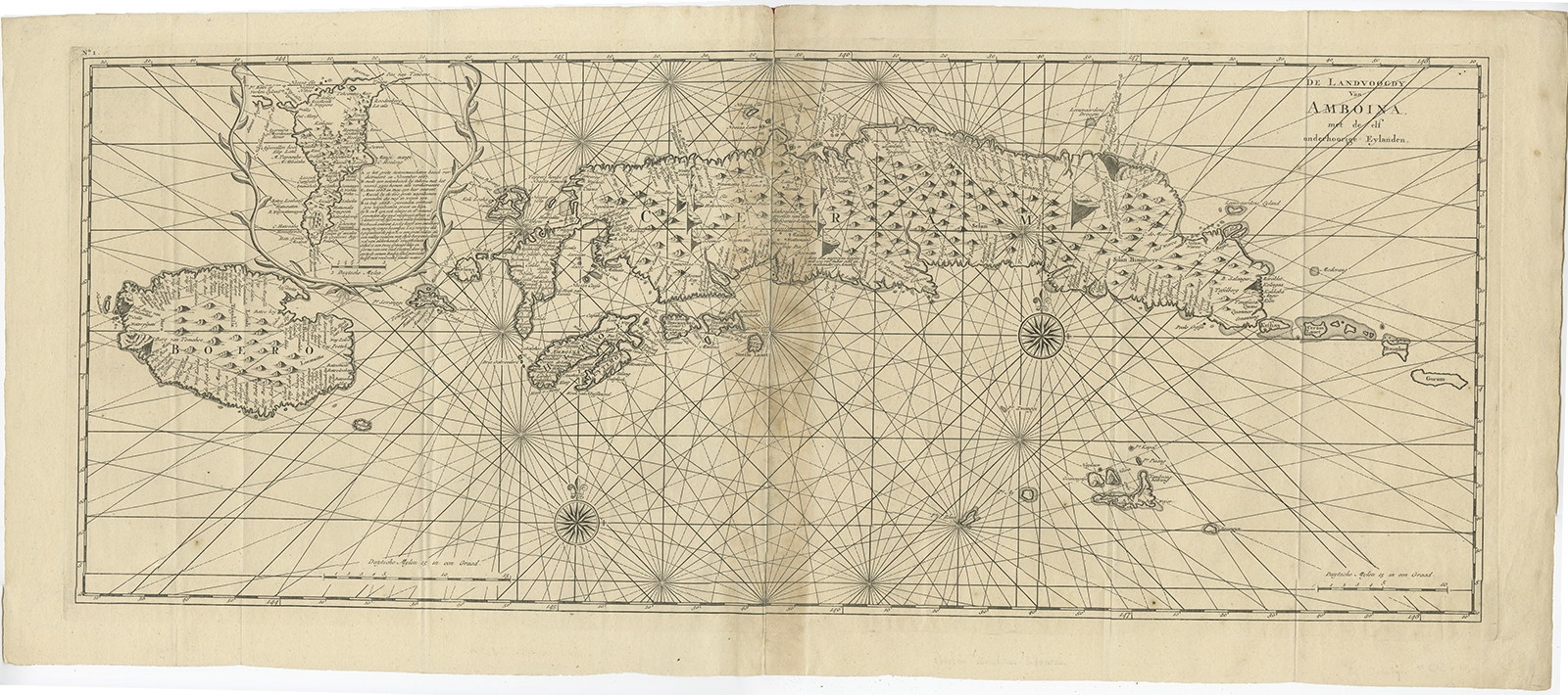
De Landvoogdy van Amboina (..) – Valentijn (1724)
Antique Maps, Plans & Charts
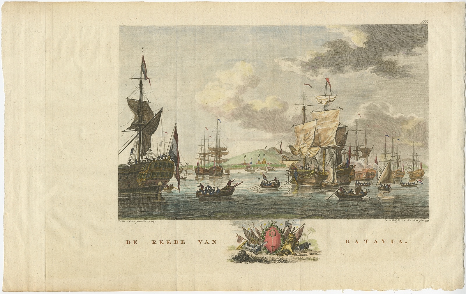
De Reede van Batavia – Kobell (1779)
Antique Maps, Plans & Charts
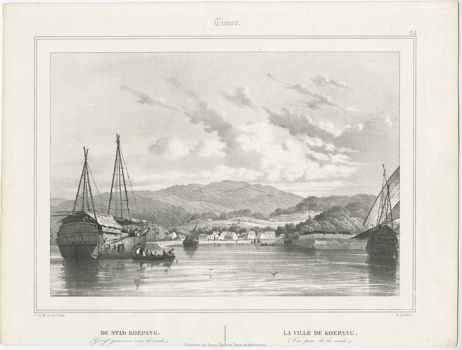
De Stad Koepang – Van de Velde (1844)
Antique Maps, Plans & Charts
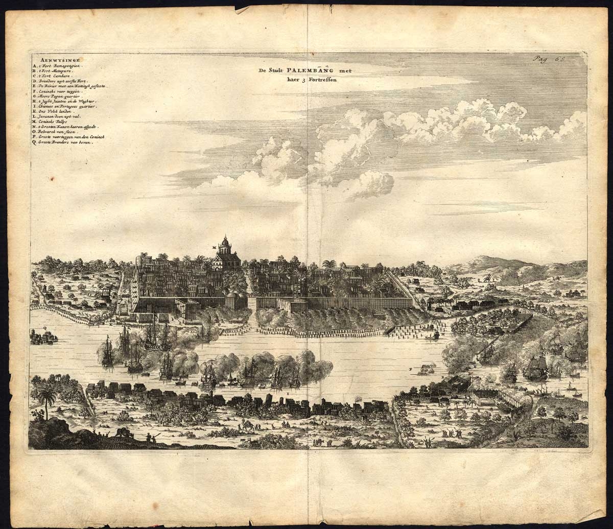
De Stadt Palembang met haer 3 Fortressen – Nieuhof (1682)
Antique Maps, Plans & Charts
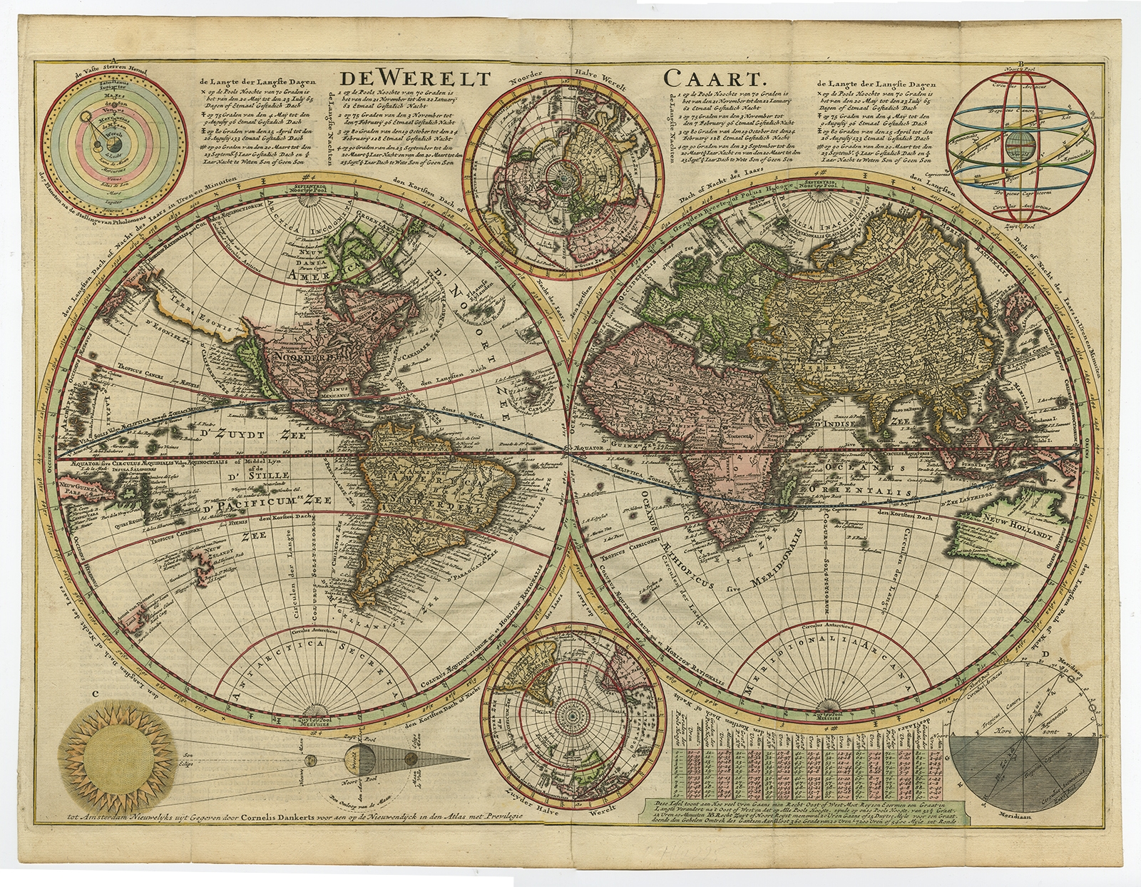
De Werelt Caart – Danckerts (1710)
Antique Maps, Plans & Charts
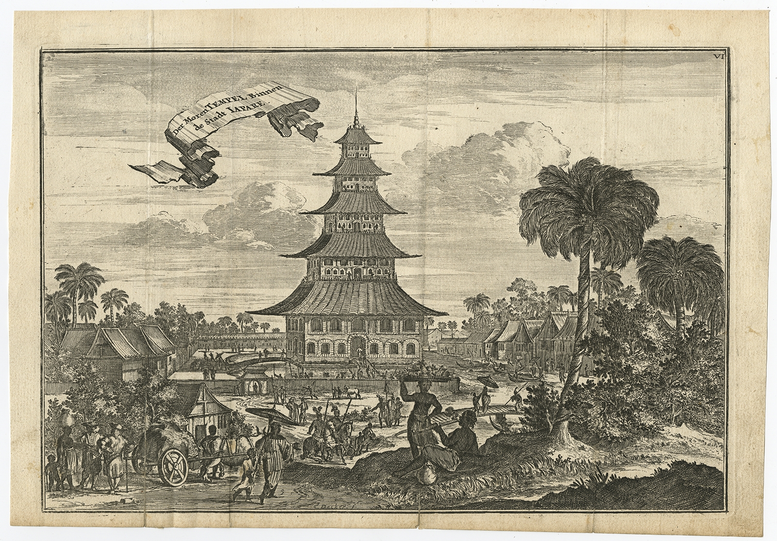
Der Moren Tempel binnen de Stadt Iapare – Schouten (1708)
Antique Maps, Plans & Charts
Der Moren Tempel binnen de Stadt Iapare – Schouten (1708)
Antique Maps, Plans & Charts
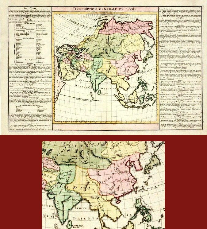
Description générale de l’Asie – Unknown (c.1805)
Antique Maps, Plans & Charts
Die innere Aufsicht des Castells in Batavia (..) – Habermann (1770)
Antique Maps, Plans & Charts
Djongos-Huisjongen – Van der Heijden (1909)
Antique Maps, Plans & Charts
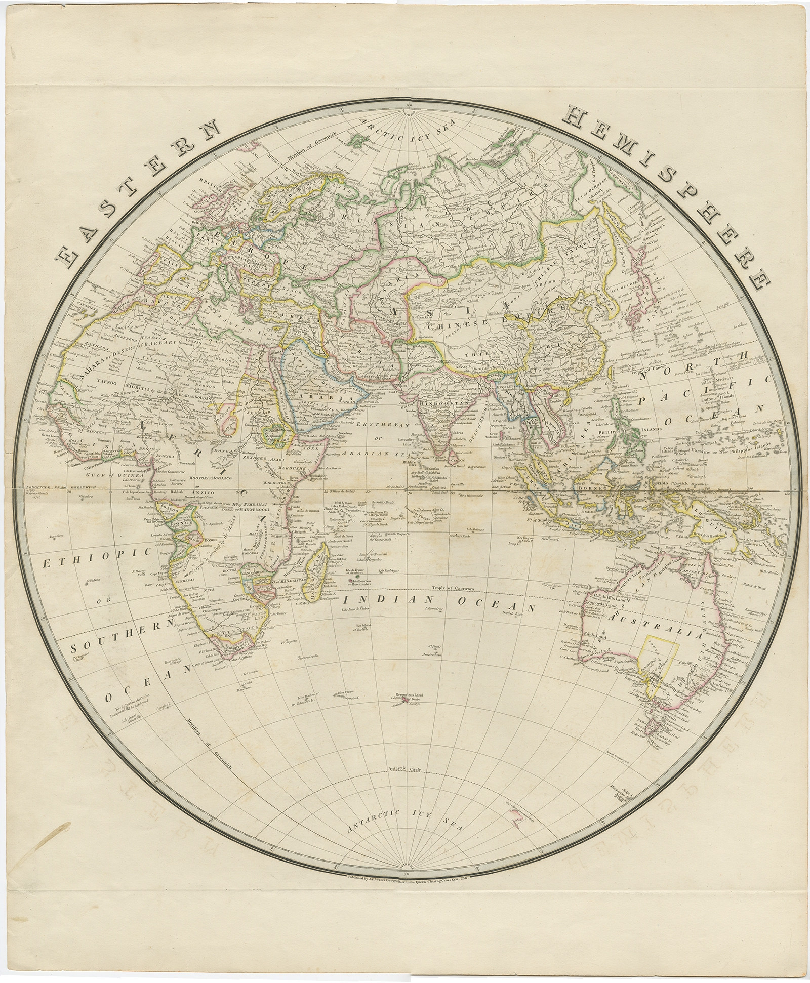
Eastern Hemisphere – Wyld (1842)
Antique Maps, Plans & Charts
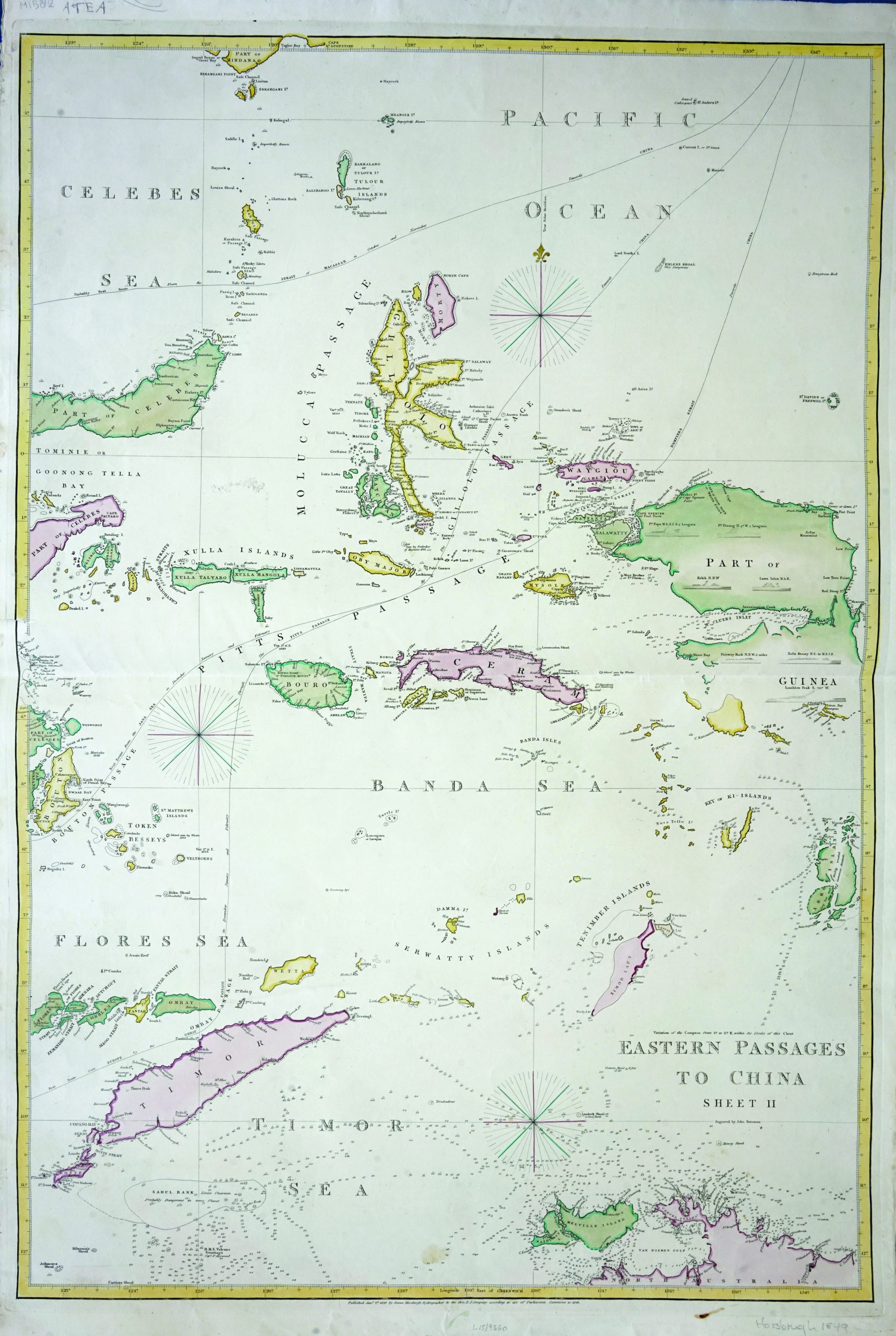
Eastern Passages to China – Bateman (c.1849)
←
1
2
3
…
39
40
41
42
43
44
45
…
80
81
82
→
Visit Gallery
WhatsApp
Shop Online
Location
Scroll to Top