Skip to content
Maps of Asia
Dutch East Indies
Jakarta Collection
Visit Us
Contact
Shop Online Worldwide
Shop Online Worldwide
Main Menu
Maps of Asia
Dutch East Indies
Jakarta Collection
Visit Us
Contact
Home
/
Antique Maps, Plans & Charts
/ Page 50
Antique Maps, Plans & Charts
Showing 589–600 of 979 results
Default sorting
Sort by popularity
Sort by latest
Sort by price: low to high
Sort by price: high to low
Antique Maps, Plans & Charts
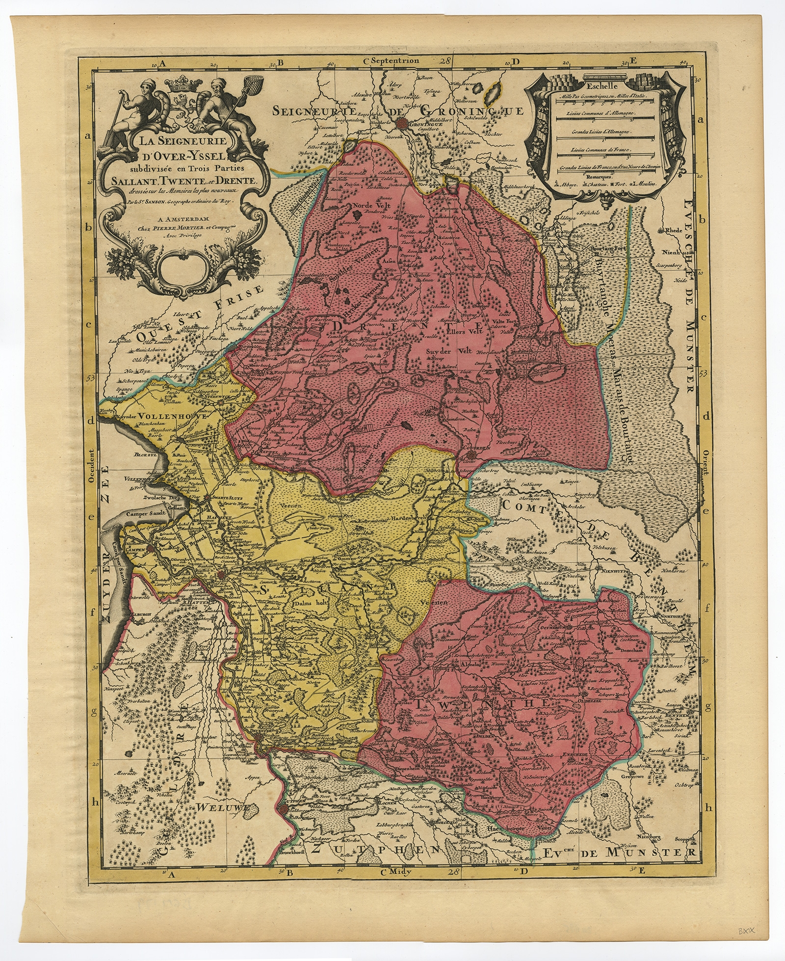
La Seigneurie d’Over-Yssel subdivisee (..) – Sanson (c.1700)
Antique Maps, Plans & Charts
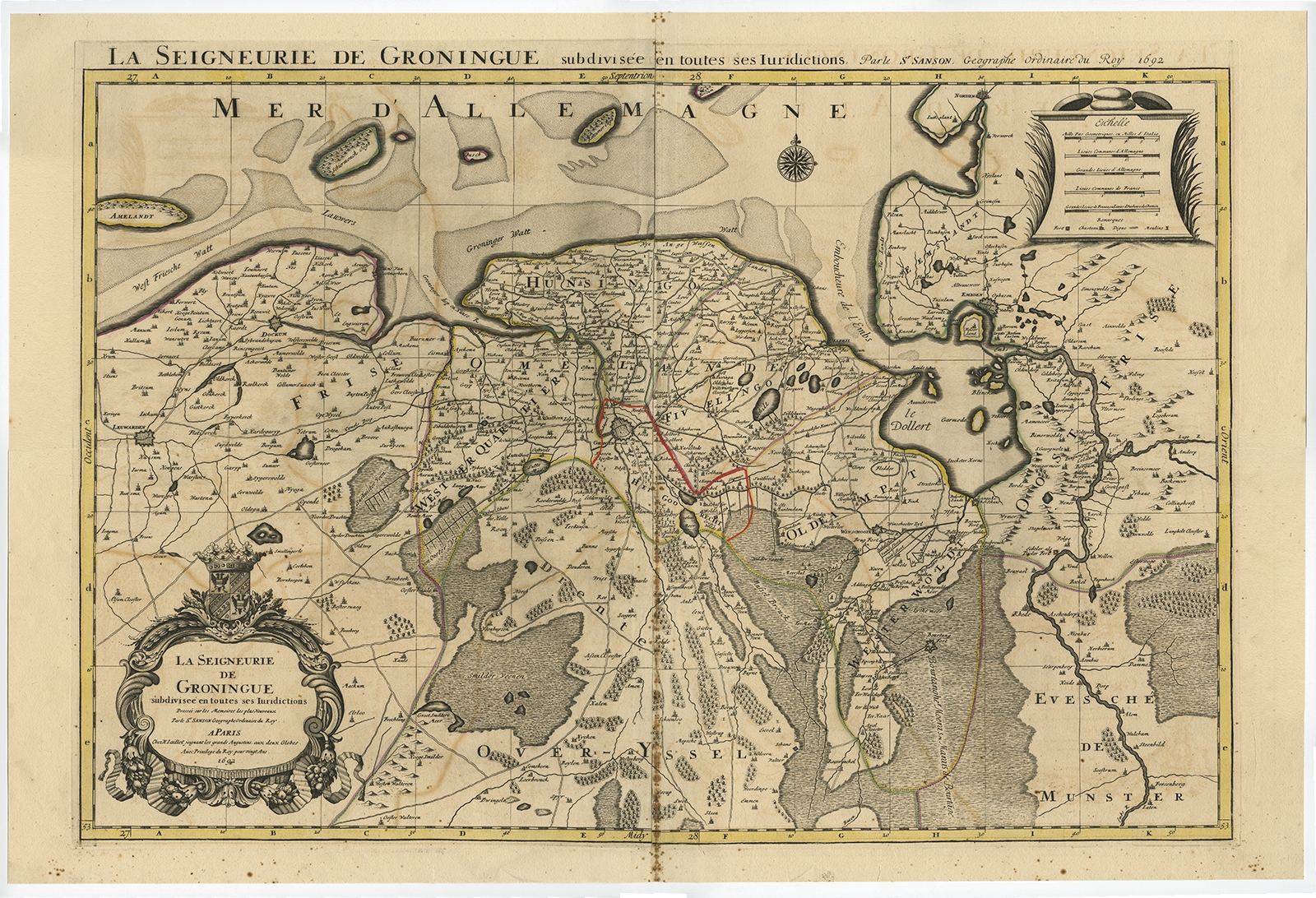
La Seigneurie de Groningue (..) – Jaillot (1692)
Antique Maps, Plans & Charts
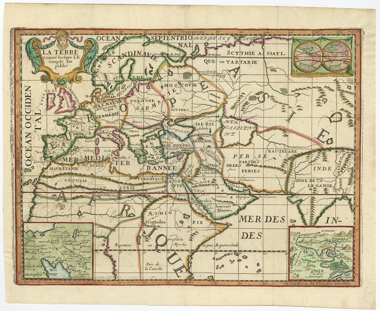
La Terre Connue lorsque L’Evangelie fut publie – Lamy (1699)
Antique Maps, Plans & Charts
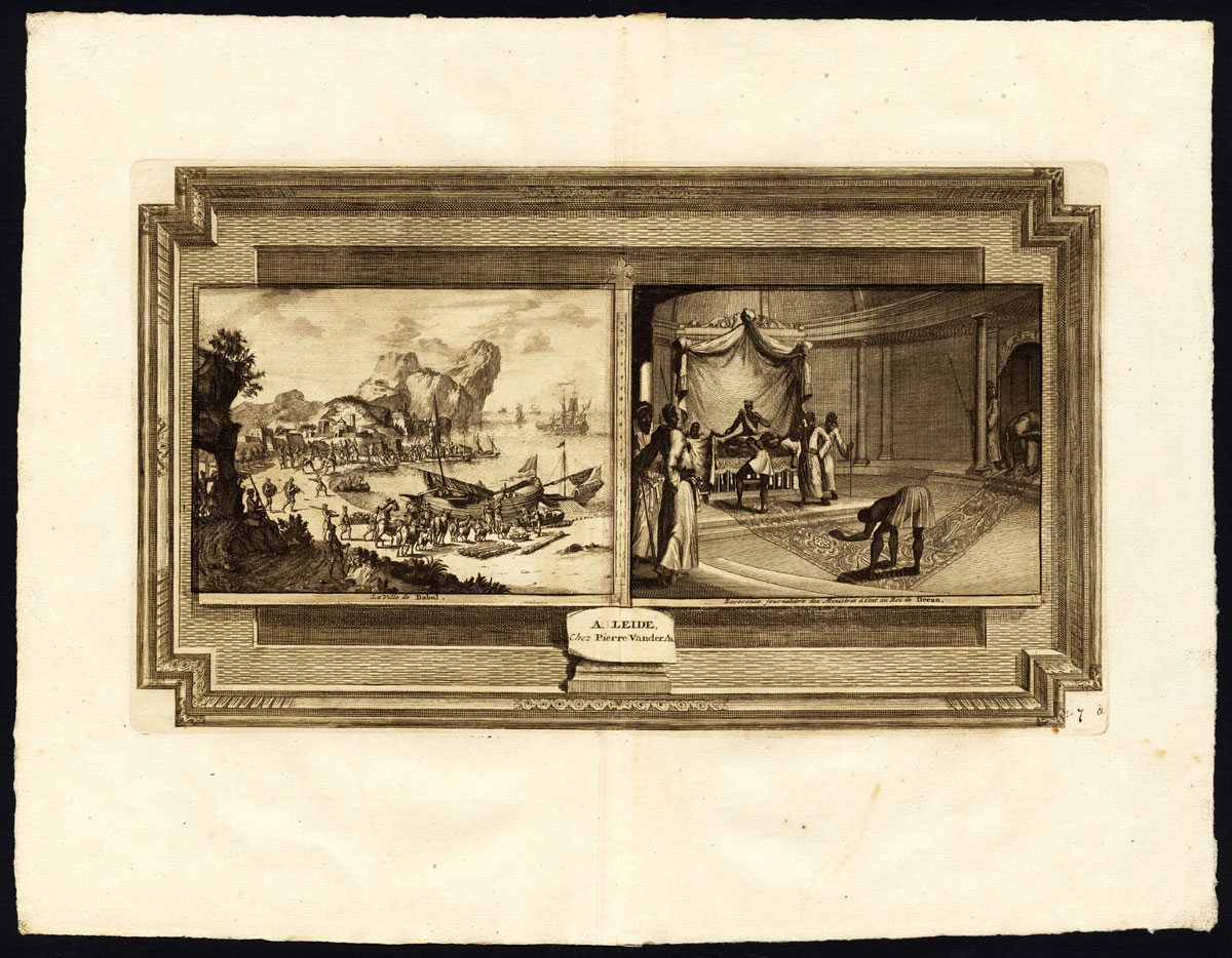
La ville de Dabul (..) – Van der Aa (1725)
Antique Maps, Plans & Charts
La Ville de Materan, capitale de Roiaume (..) – Van der Aa (1727)
Antique Maps, Plans & Charts
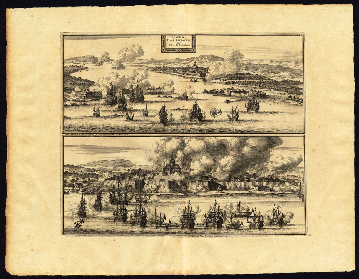
La ville de Palembang dans l’Ile de Sumatra – Van der Aa (1725)
Antique Maps, Plans & Charts
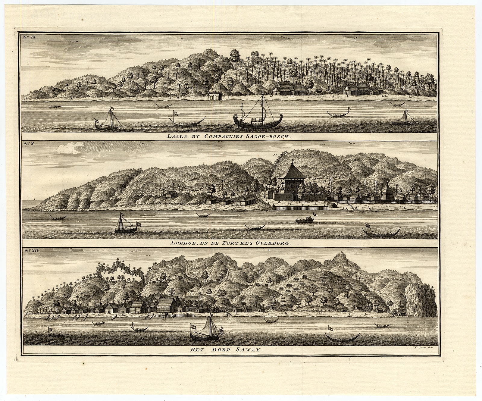
Laala by Compagnies Sagoe-Bosch, Loehoe en de Fortres Overburg, het dorp Saway – Valentijn (1726)
Antique Maps, Plans & Charts
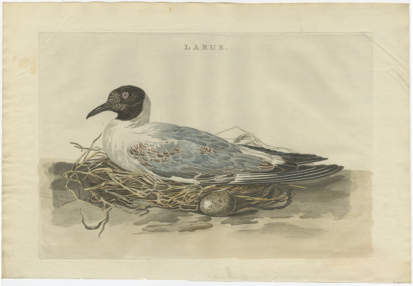
Larus – Sepp & Nozeman (1789)
Animal Prints
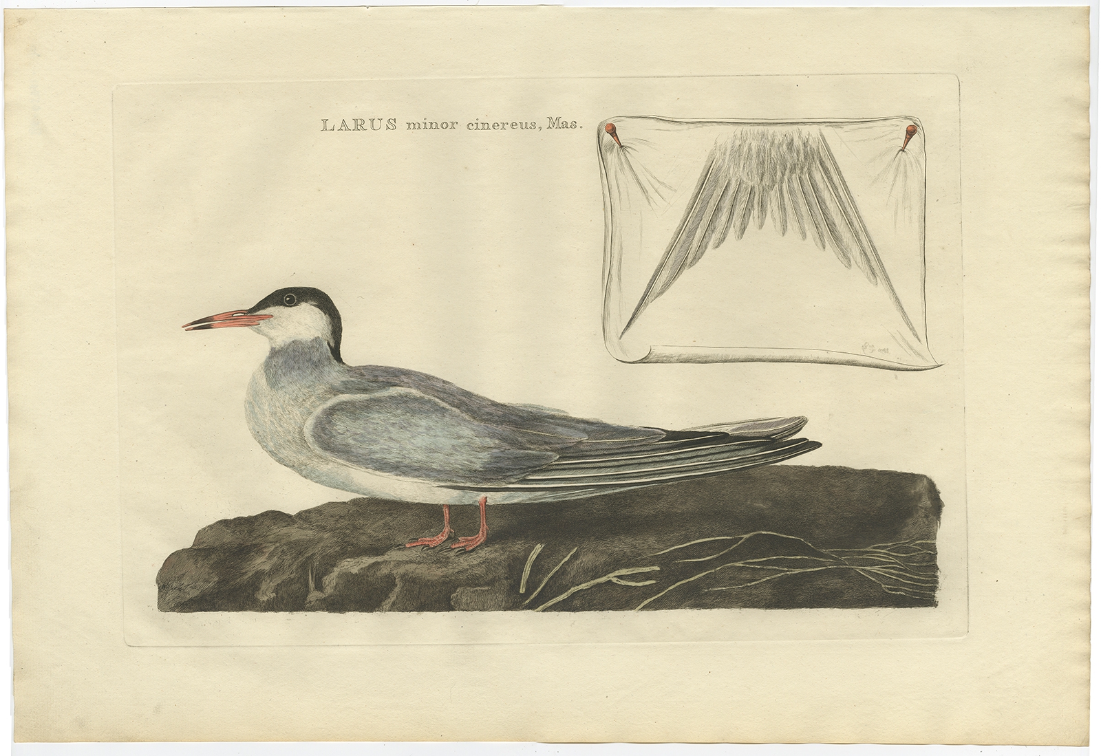
Larus minor cinereus, mas – Sepp & Nozeman (1789)
Animal Prints
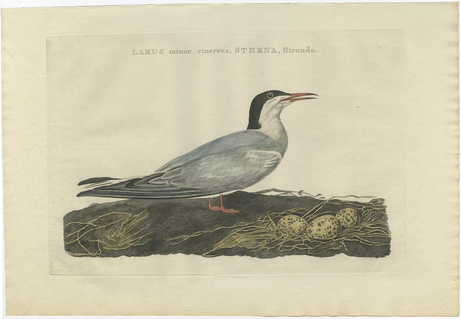
Larus minor cinereus, Sterna, Hirundo – Sepp & Nozeman (1789)
Antique Maps, Plans & Charts
Larus, Mas – Sepp & Nozeman (1789)
Antique Prints
Last Samurai, Kabuki Scene – Toyohara Kunichaka (c.1878)
←
1
2
3
…
47
48
49
50
51
52
53
…
80
81
82
→
Visit Gallery
WhatsApp
Shop Online
Location
Scroll to Top