Skip to content
Maps of Asia
Dutch East Indies
Jakarta Collection
Visit Us
Contact
Shop Online Worldwide
Shop Online Worldwide
Main Menu
Maps of Asia
Dutch East Indies
Jakarta Collection
Visit Us
Contact
Home
/
Antique Maps, Plans & Charts
/ Page 56
Antique Maps, Plans & Charts
Showing 661–672 of 979 results
Default sorting
Sort by popularity
Sort by latest
Sort by price: low to high
Sort by price: high to low
Antique Maps, Plans & Charts
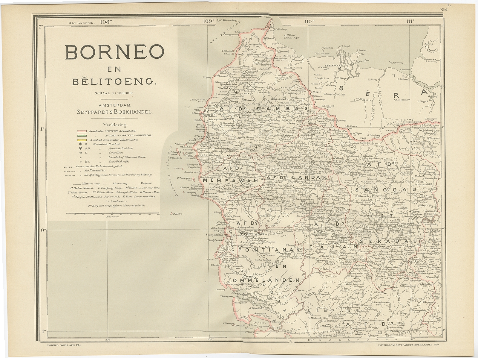
Map of West Borneo – Dornseiffen c.1900
Antique Maps, Plans & Charts
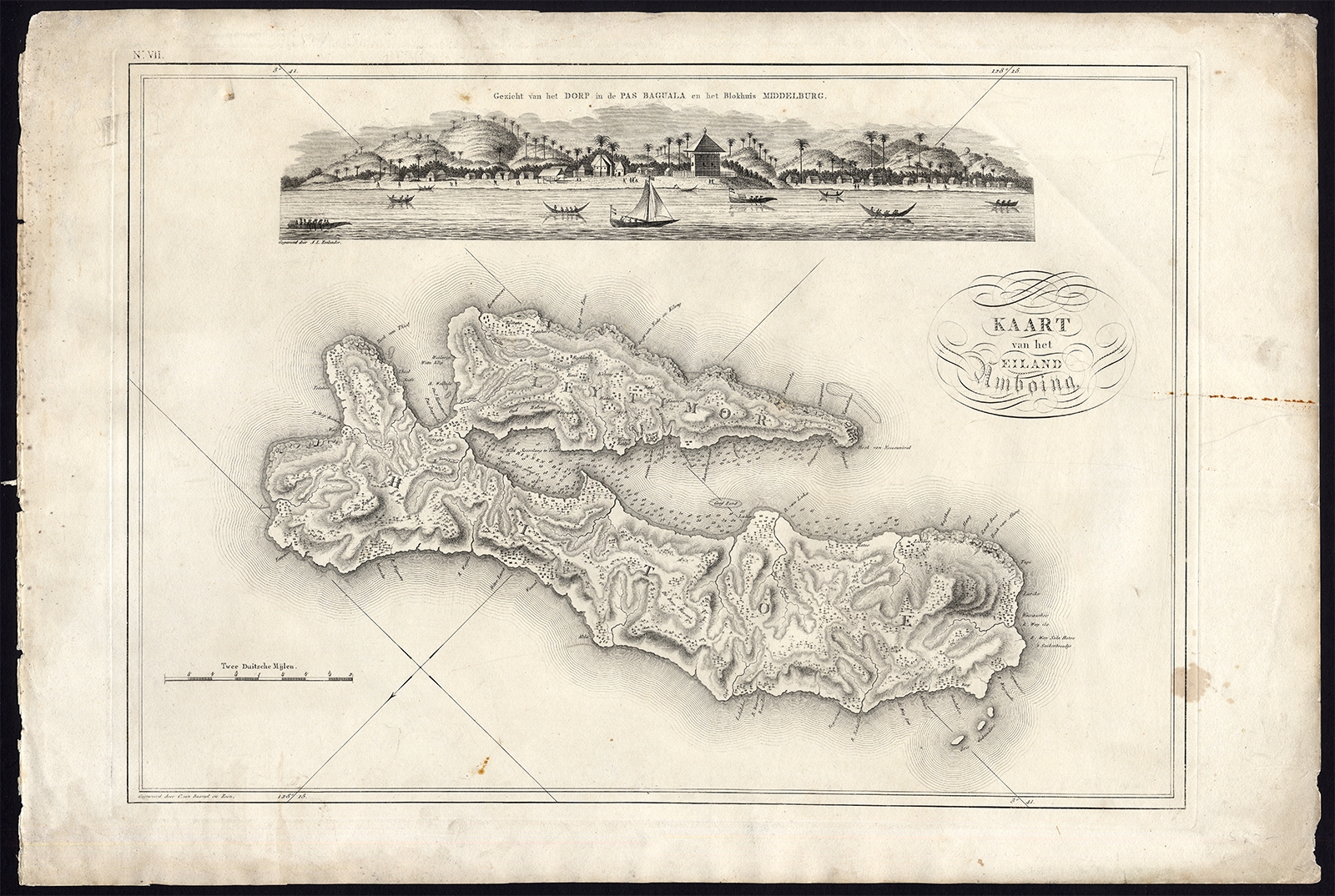
Map VII Kaart van het Eiland Amboine – Van den Bosch (1818)
Antique Maps, Plans & Charts
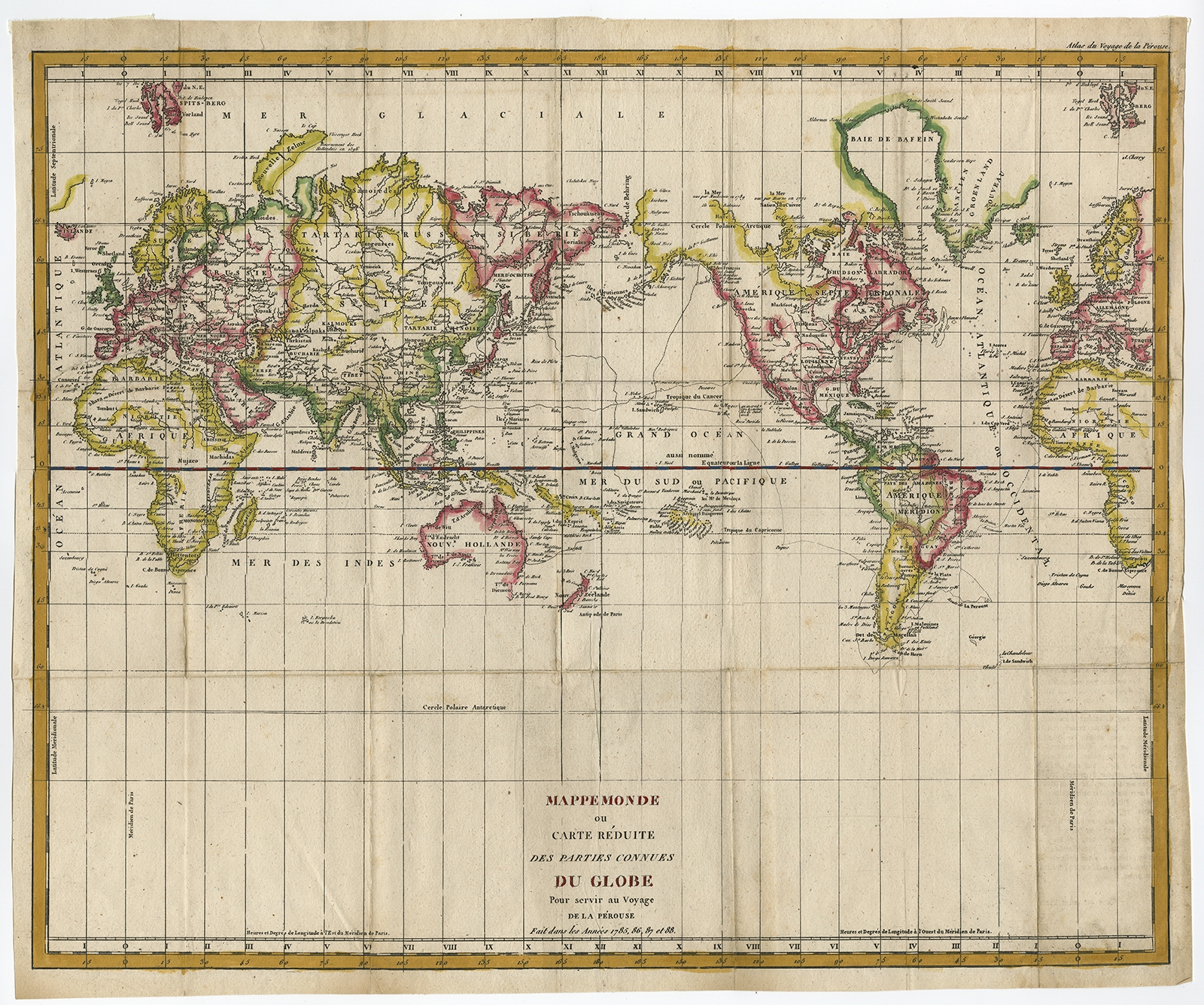
Mappemonde ou Carte Reduite Des Parties (..) – De la Perouse (c.1790)
Antique Maps, Plans & Charts
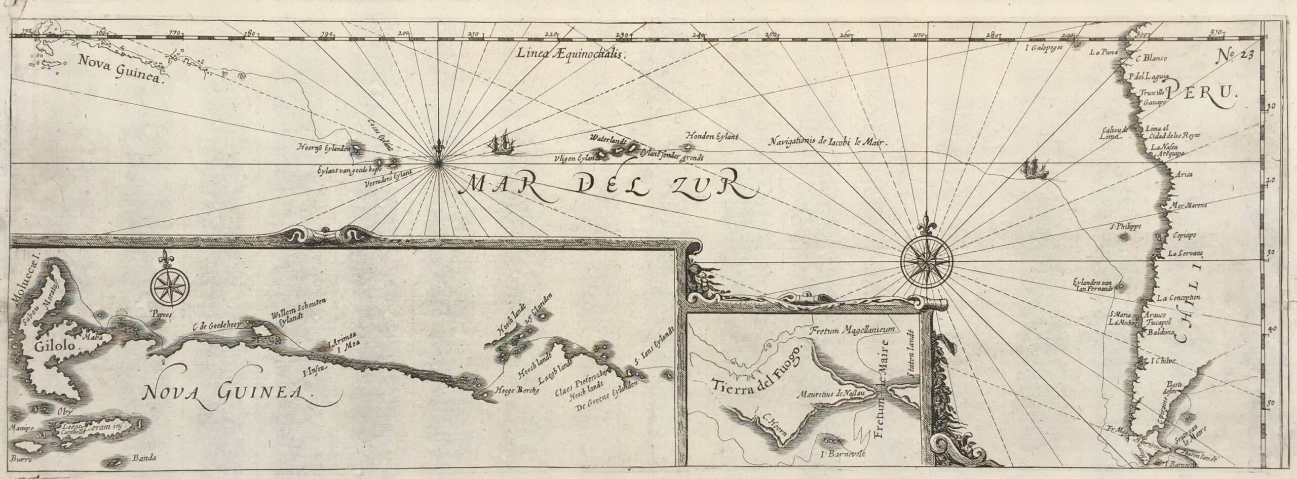
Mar del Zur, Nova Guinea, Terra del Fuogo, Peru, Chili ( DE RENNEVILLE 1608 )
Antique Maps, Plans & Charts
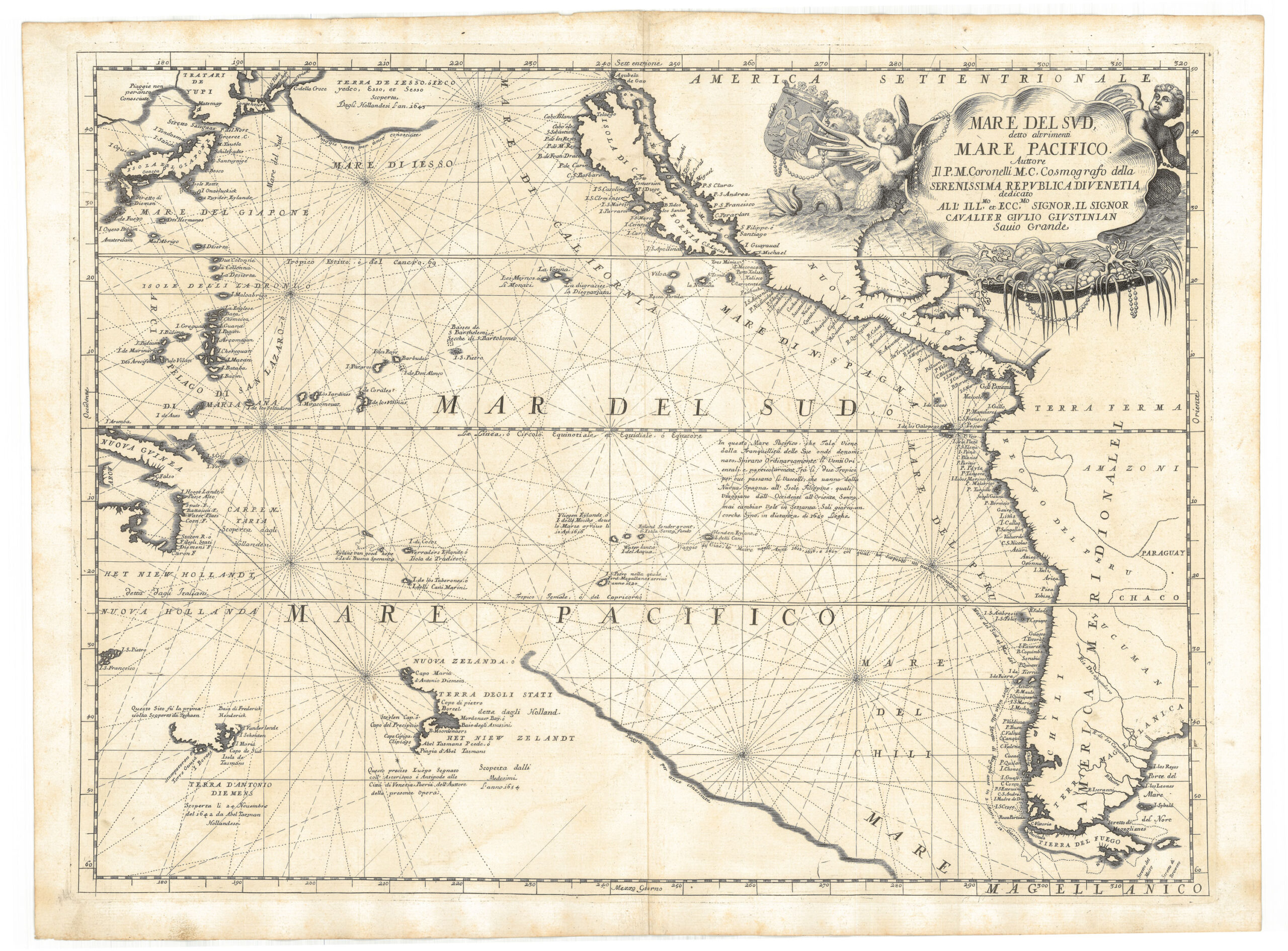
MARE DEL SVD CORONELLI
Animal Prints
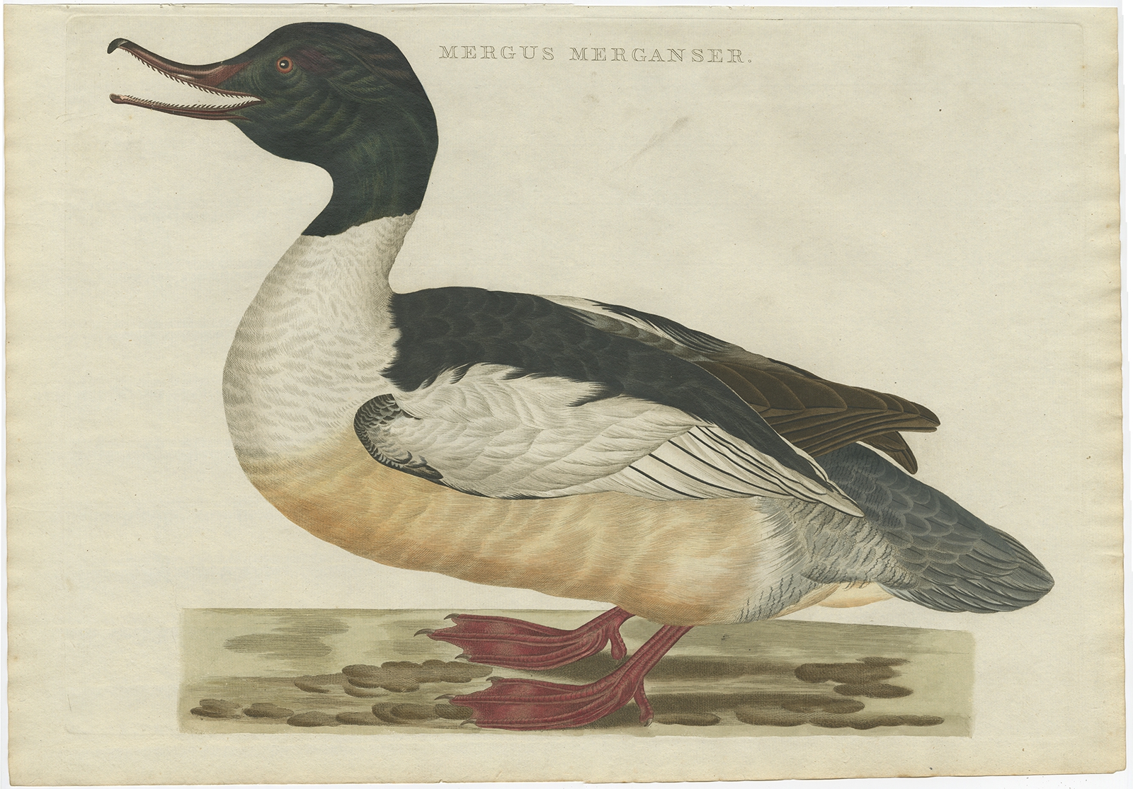
Mergus Merganser – Sepp & Nozeman (1809)
Animal Prints
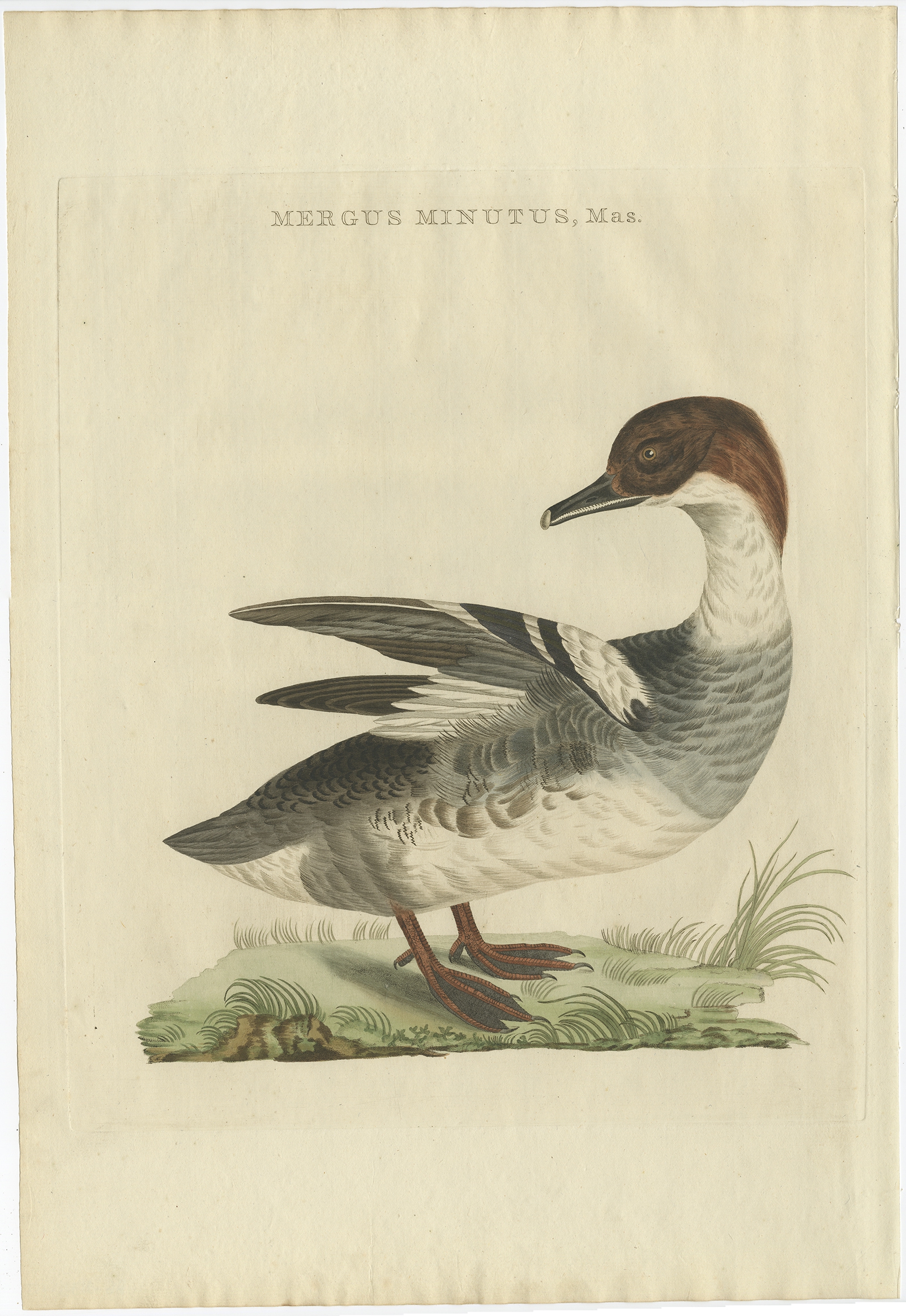
Mergus Minutus, Mas – Sepp & Nozeman (1809)
Antique Maps, Plans & Charts
Mortier-Batterij in de Loopgraven – Emrik & Binger (1874)
Animal Prints
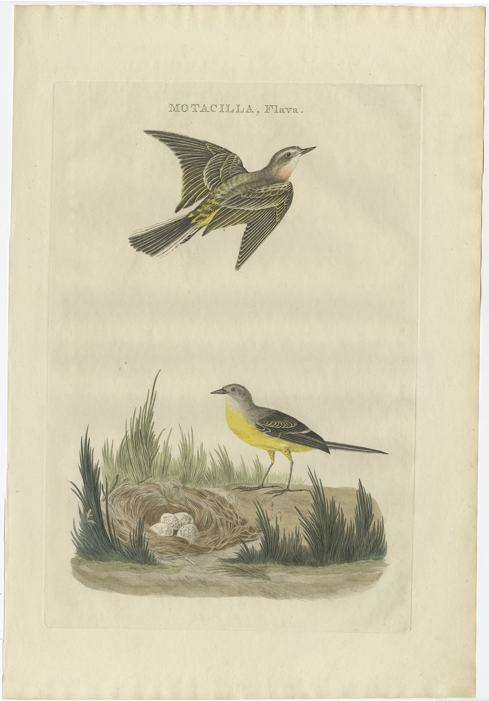
Motacilla, Flava – Sepp & Nozeman (1789)
Animal Prints
Motacilla, Oenanthe – Sepp & Nozeman (1789)
Animal Prints
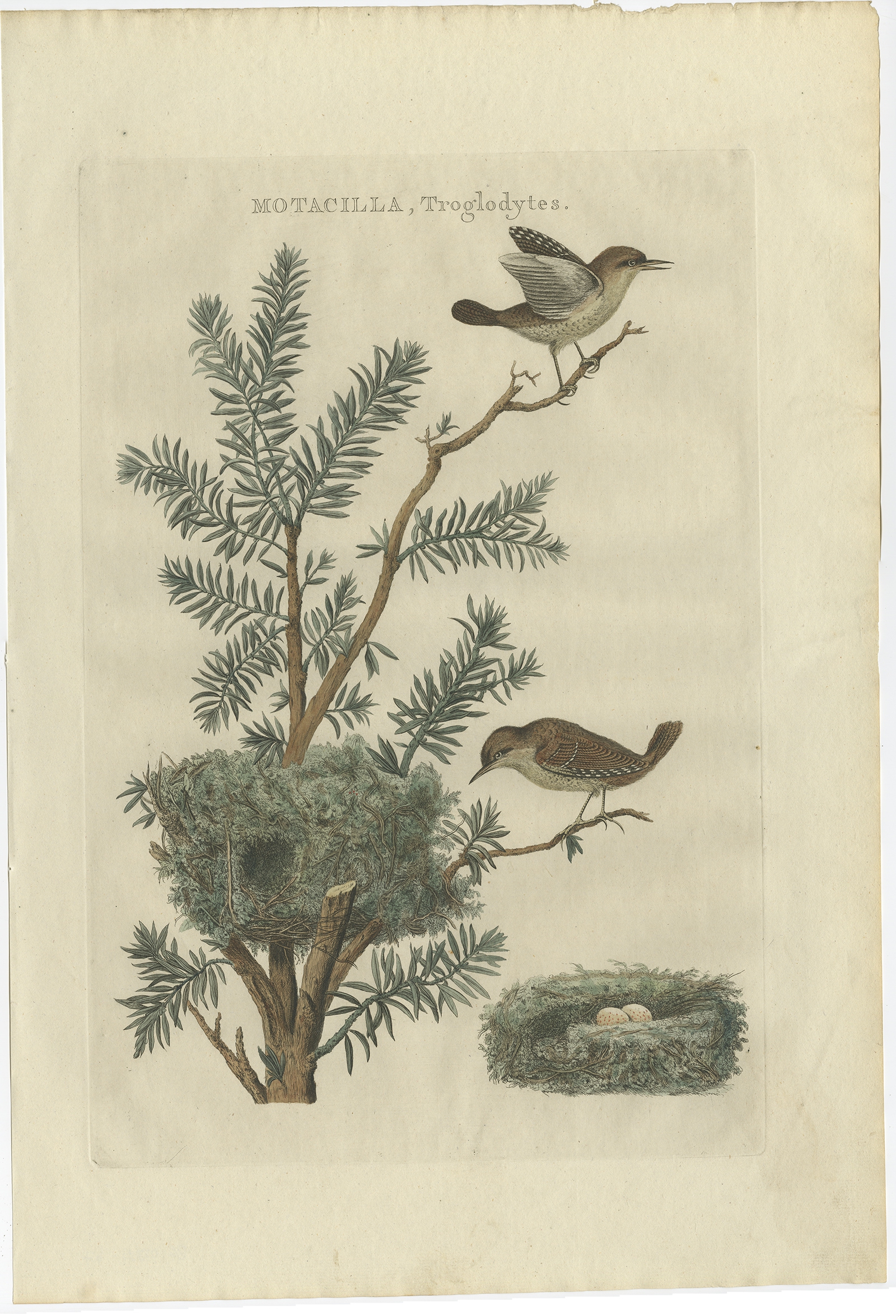
Motacilla, Troglodytes – Sepp & Nozeman (1789)
Antique Maps, Plans & Charts
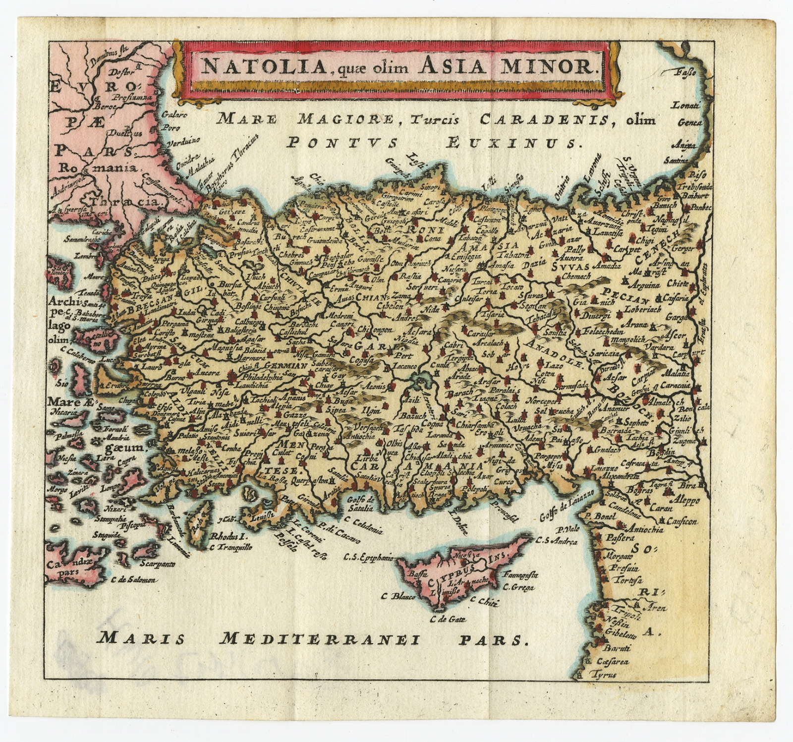
Natolia quae olim Asia Minor – Bertius (1685)
←
1
2
3
…
53
54
55
56
57
58
59
…
80
81
82
→
Visit Gallery
WhatsApp
Shop Online
Location
Scroll to Top