Skip to content
Maps of Asia
Dutch East Indies
Jakarta Collection
Visit Us
Contact
Shop Online Worldwide
Shop Online Worldwide
Main Menu
Maps of Asia
Dutch East Indies
Jakarta Collection
Visit Us
Contact
Home
/
Antique Maps, Plans & Charts
/ Page 6
Antique Maps, Plans & Charts
Showing 61–72 of 977 results
Default sorting
Sort by popularity
Sort by latest
Sort by price: low to high
Sort by price: high to low
Antique Maps, Plans & Charts
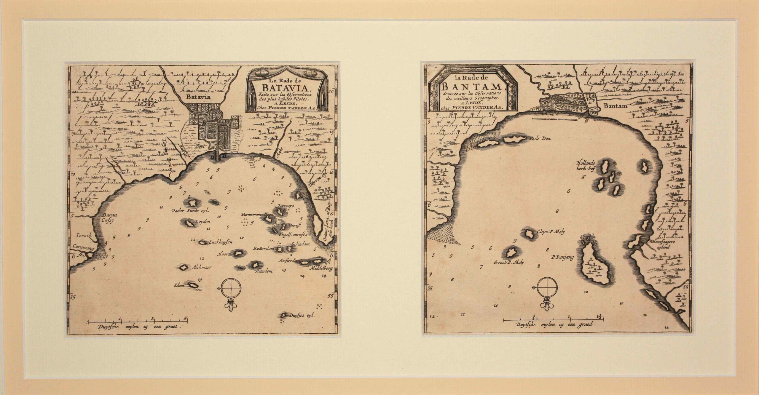
Antique Map Batavia and Bantam by Van der Aa (c.1714)
Antique Maps, Plans & Charts
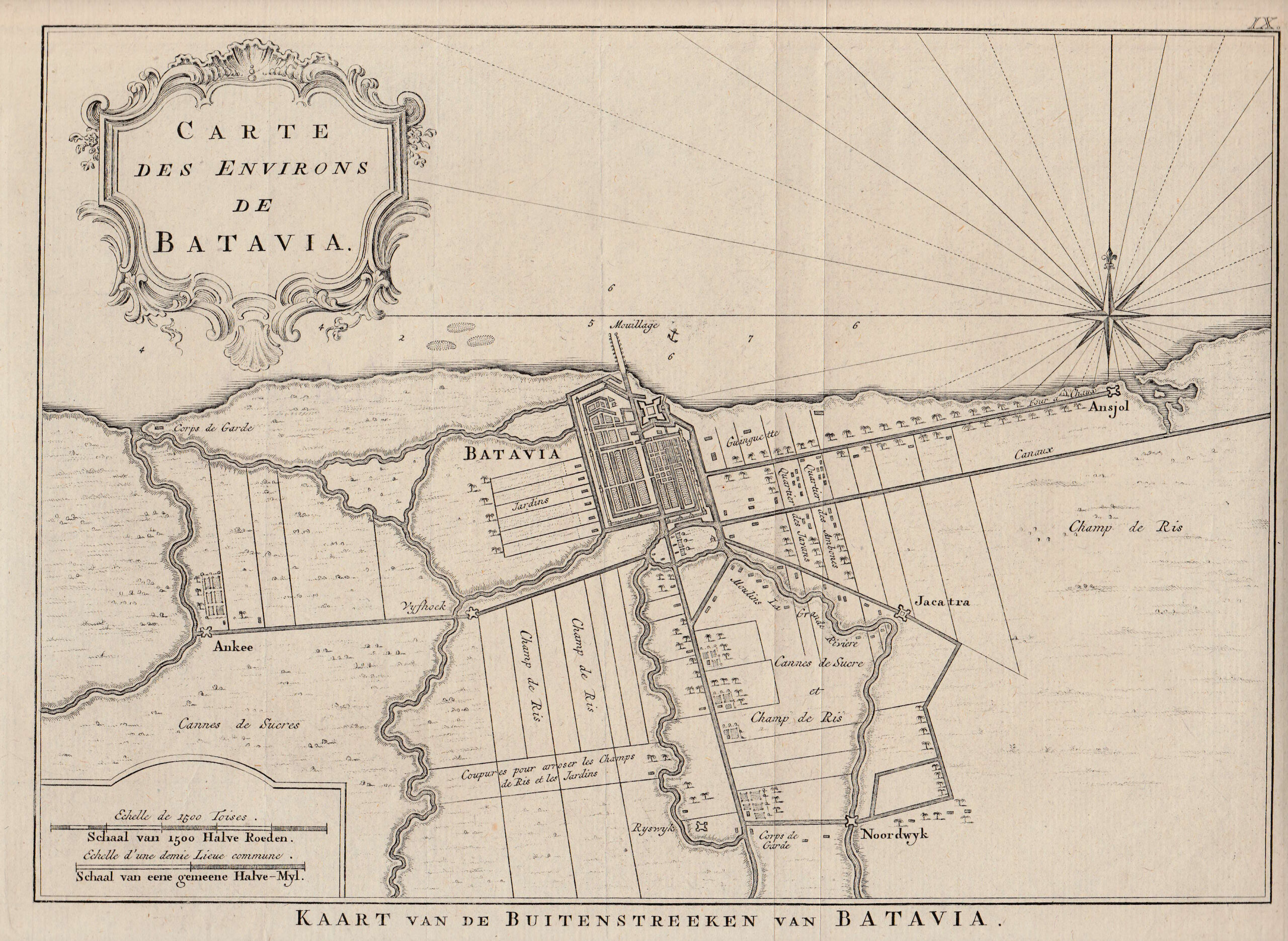
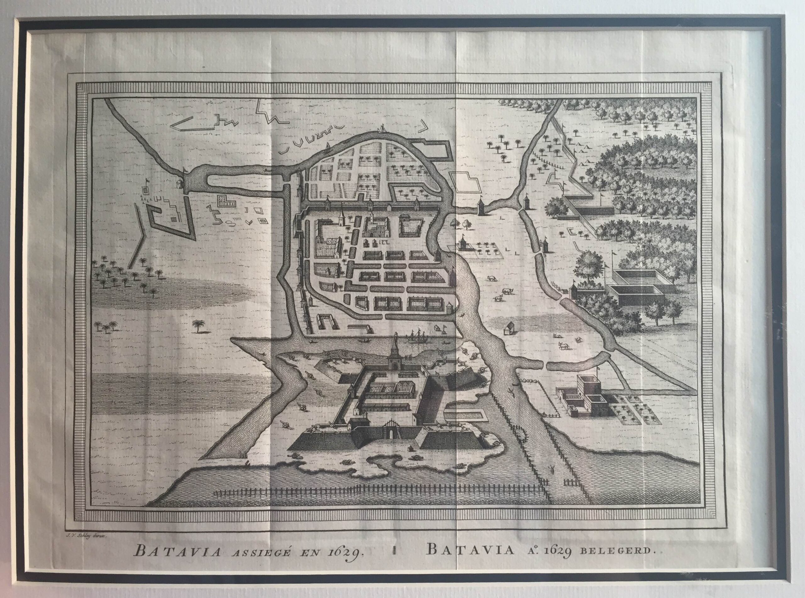
Antique Map Batavia and Surroundings by Van Schley (c.1760)
Antique Maps, Plans & Charts
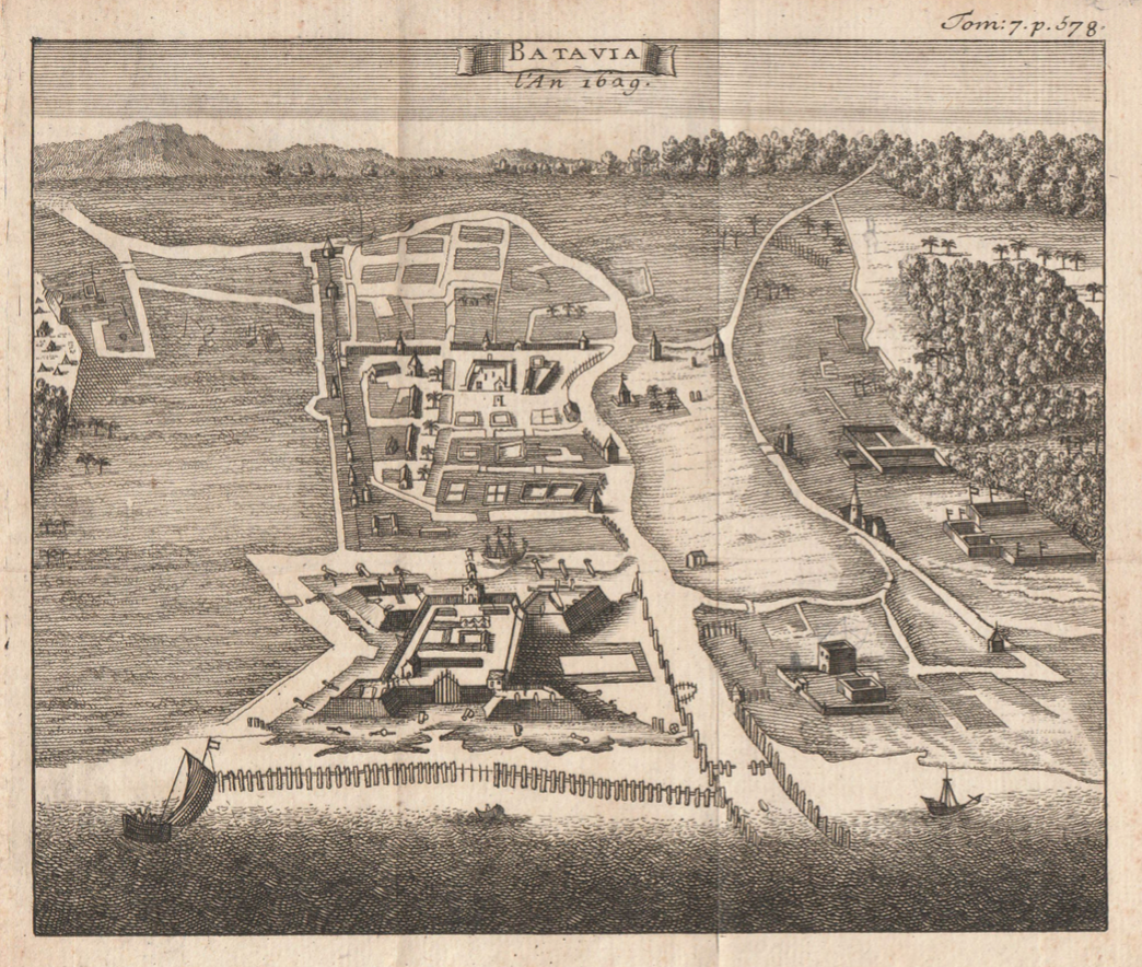
Antique Map Batavia by Argensola (1629)
Antique Maps, Plans & Charts
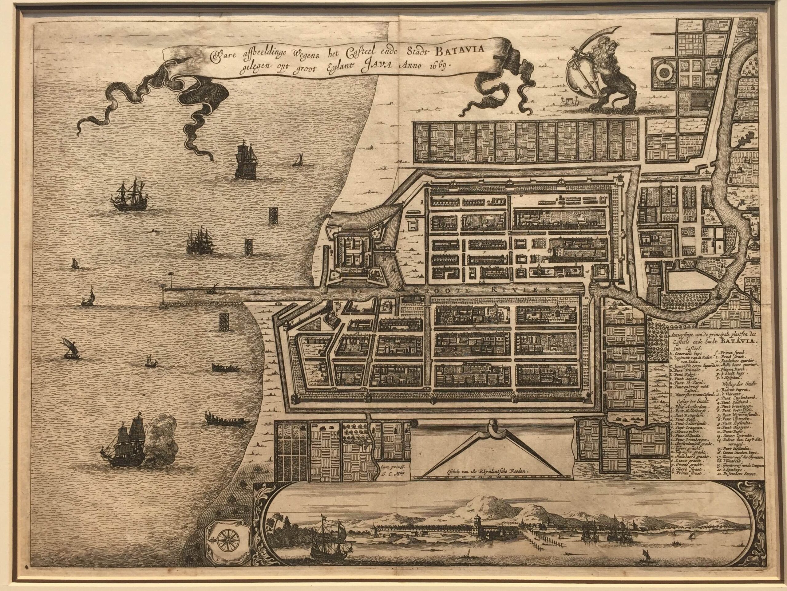
Antique Map Batavia by Van Meurs (c.1669)
Antique Maps, Plans & Charts
Antique Map Batavia by Van Schley (C.1742)
←
1
2
3
4
5
6
7
8
9
…
80
81
82
→
Visit Gallery
WhatsApp
Shop Online
Location
Scroll to Top