Skip to content
Maps of Asia
Dutch East Indies
Jakarta Collection
Visit Us
Contact
Shop Online Worldwide
Shop Online Worldwide
Main Menu
Maps of Asia
Dutch East Indies
Jakarta Collection
Visit Us
Contact
Home
/
Antique Maps, Plans & Charts
/ Page 77
Antique Maps, Plans & Charts
Showing 913–924 of 977 results
Default sorting
Sort by popularity
Sort by latest
Sort by price: low to high
Sort by price: high to low
Antique Maps, Plans & Charts
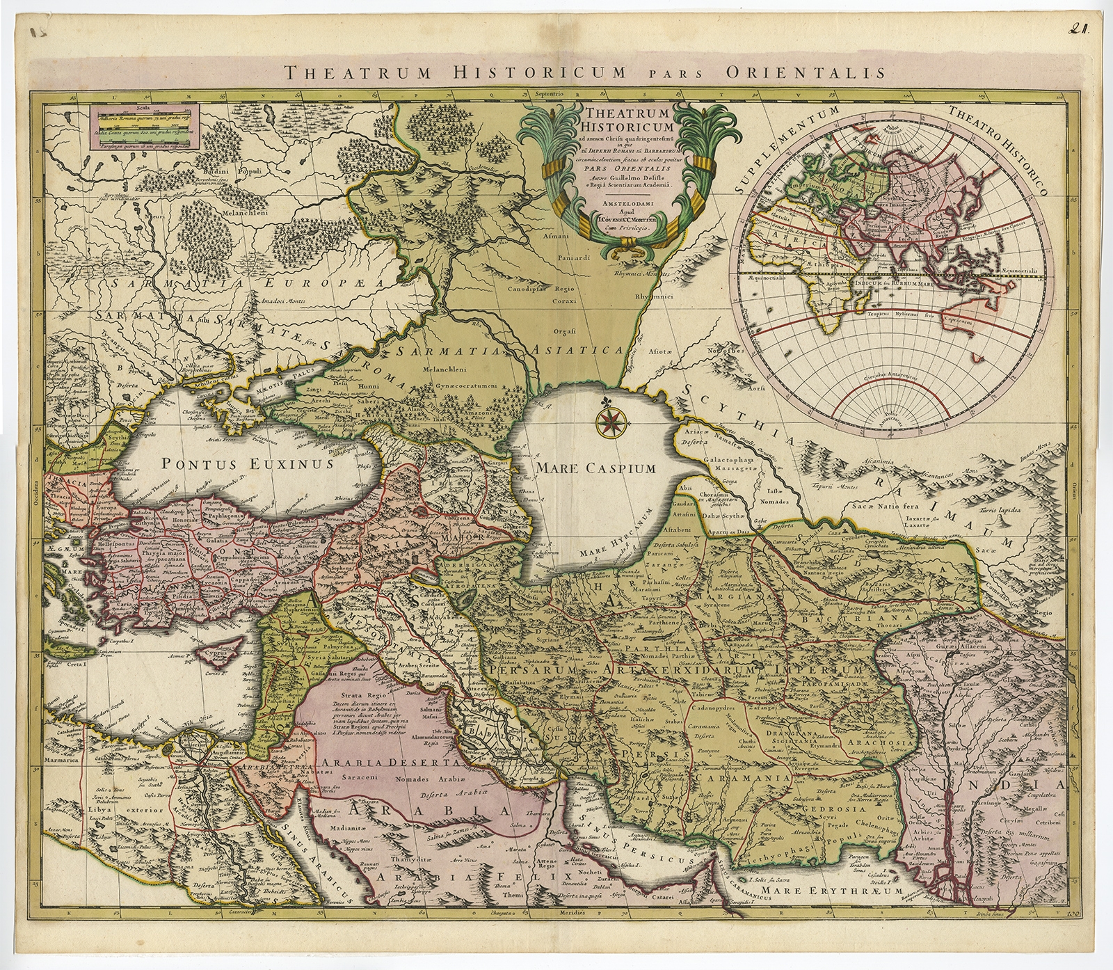
Theatrum Historicum pars Orientalis – De l’Isle (c.1745)
Antique Prints
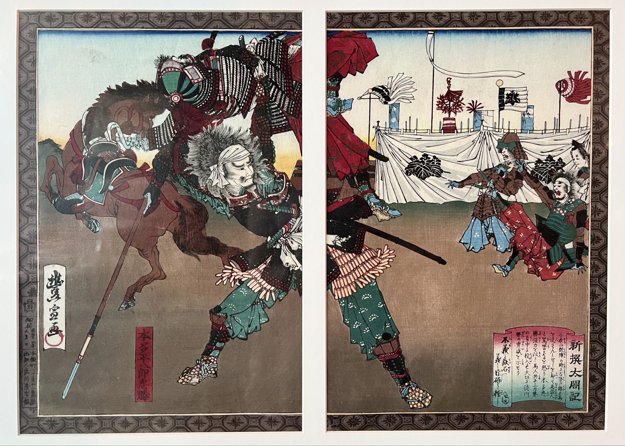
Throwing Enemy, Shinsen Taikoki – Utagawa Toyonobu (c.1883)
Antique Maps, Plans & Charts
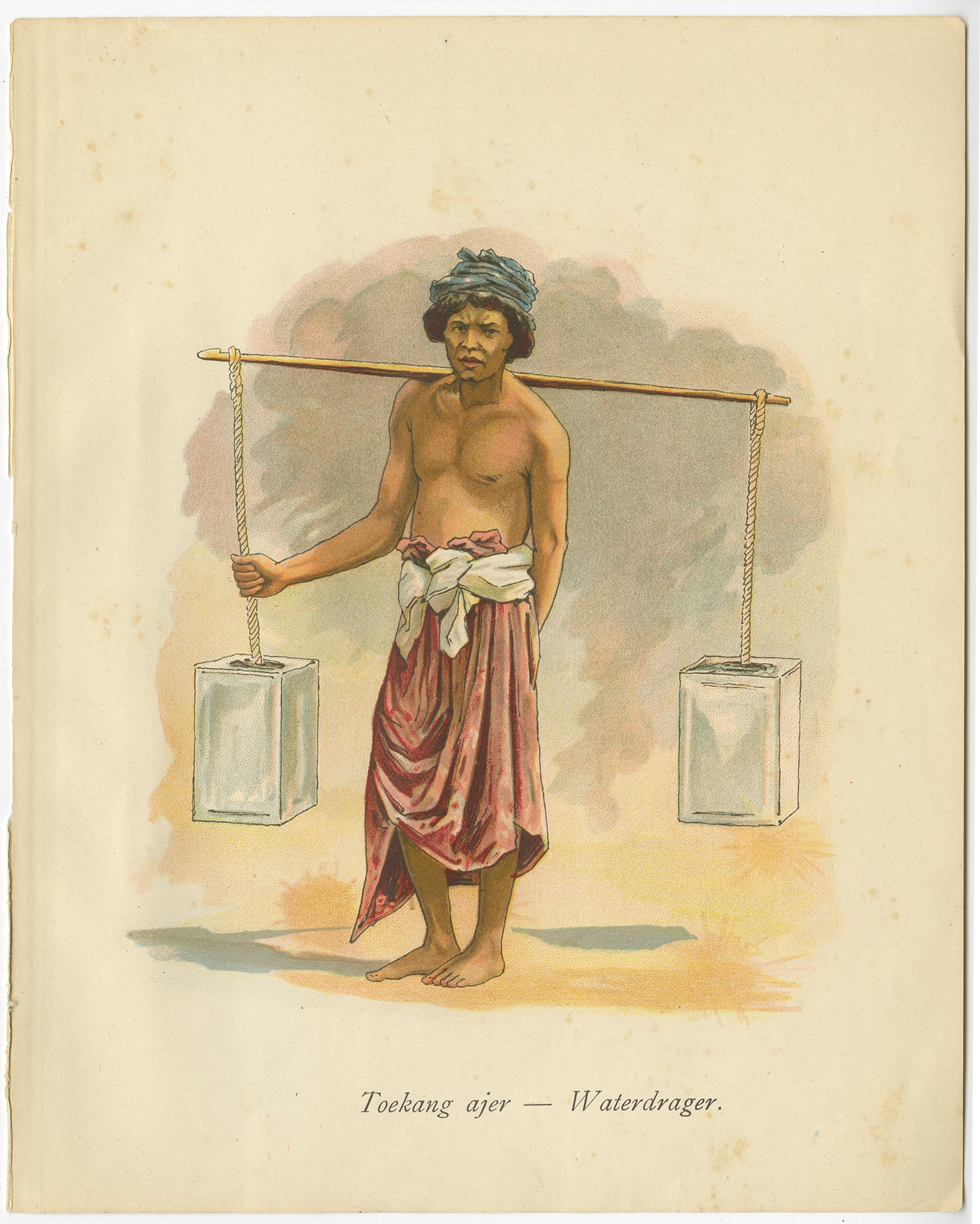
Toekang ajar-Waterdrager – Van der Heijden (1909)
Antique Maps, Plans & Charts
Toekang Kaleng-Blikslager – Van der Heijden (1909)
Antique Maps, Plans & Charts
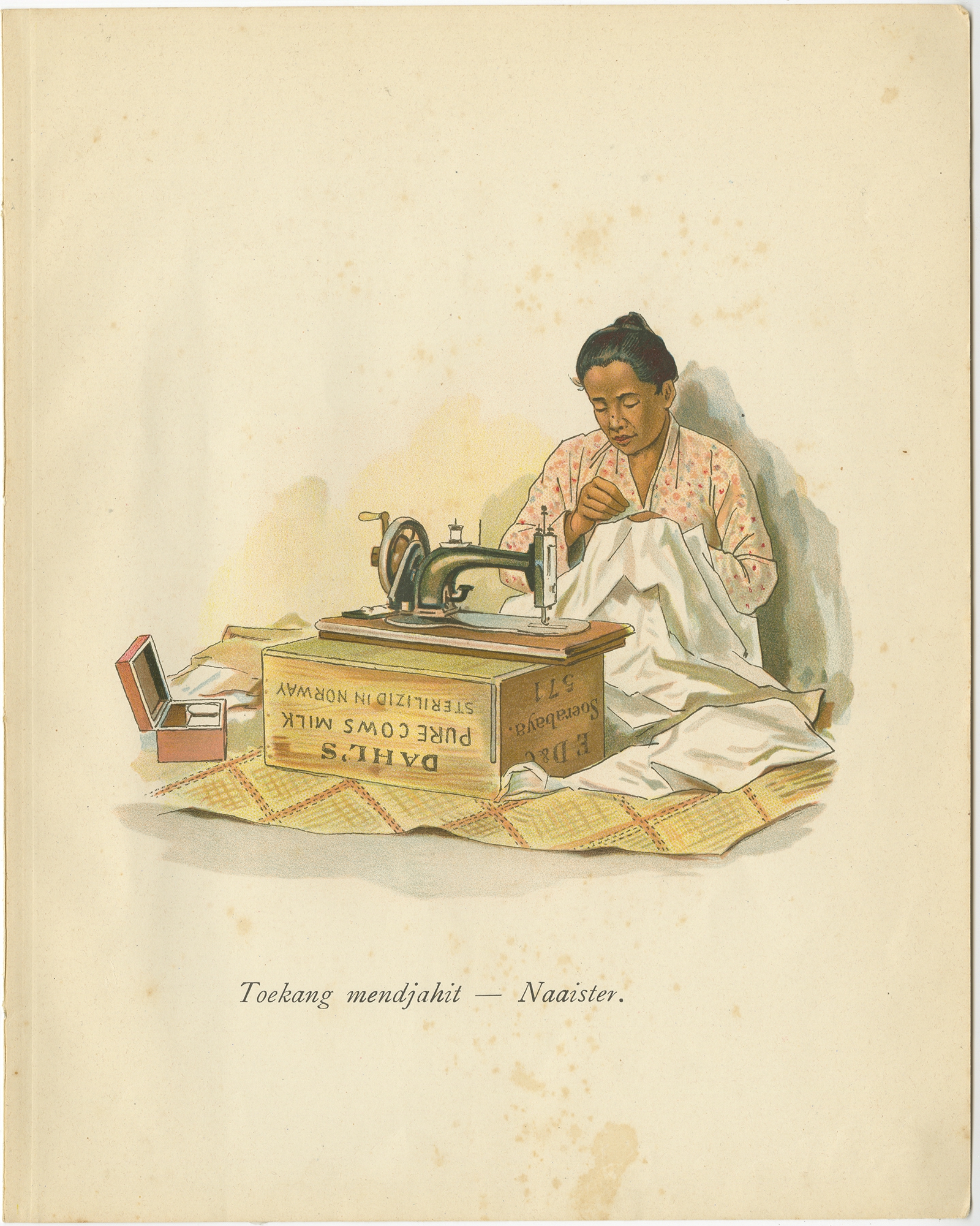
Toekang mendjahit-Naaister – Van der Heijden (1909)
Antique Maps, Plans & Charts
Toekang pakean-Kleermaker – Van der Heijden (1909)
Antique Maps, Plans & Charts
Toekang penatoe-Waschman – Van der Heijden (1909)
Antique Maps, Plans & Charts
Toekang tjoekoer-Barbier – Van der Heijden (1909)
Antique Maps, Plans & Charts
Topography Map of Semarang – Batavia Bureau (c.1872)
Antique Maps, Plans & Charts
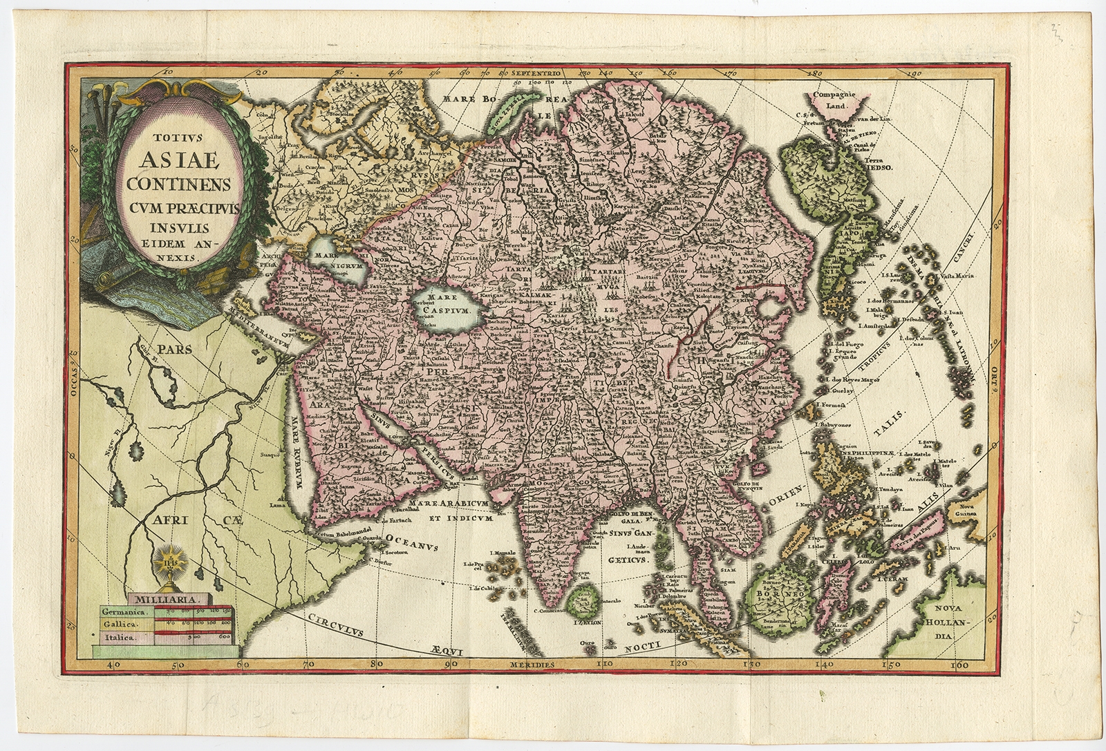
Totius Asiae Continens (..) – Scherer (1702)
Animal Prints
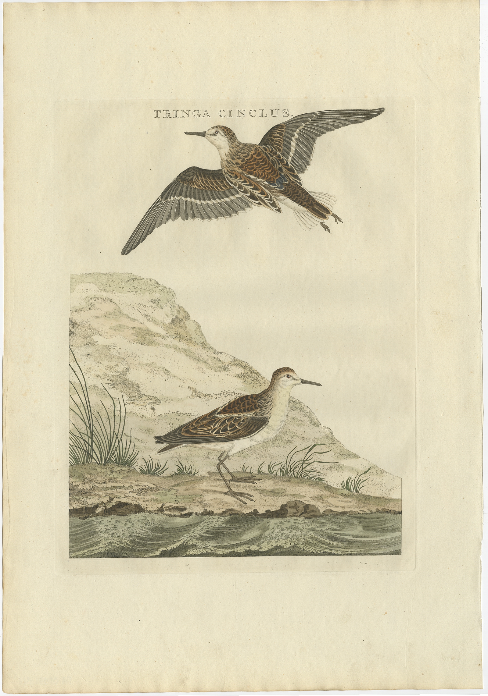
Tringa Cinclus – Sepp & Nozeman (1797)
Animal Prints
Turdus Pilaris Minor – Sepp & Nozeman (1770)
←
1
2
3
…
74
75
76
77
78
79
80
81
82
→
Visit Gallery
WhatsApp
Shop Online
Location
Scroll to Top