Skip to content
Maps of Asia
Dutch East Indies
Jakarta Collection
Visit Us
Contact
Shop Online Worldwide
Shop Online Worldwide
Main Menu
Maps of Asia
Dutch East Indies
Jakarta Collection
Visit Us
Contact
Home
/
Antique Maps, Plans & Charts
/ Page 82
Antique Maps, Plans & Charts
Showing 973–977 of 977 results
Default sorting
Sort by popularity
Sort by latest
Sort by price: low to high
Sort by price: high to low
Antique Maps, Plans & Charts
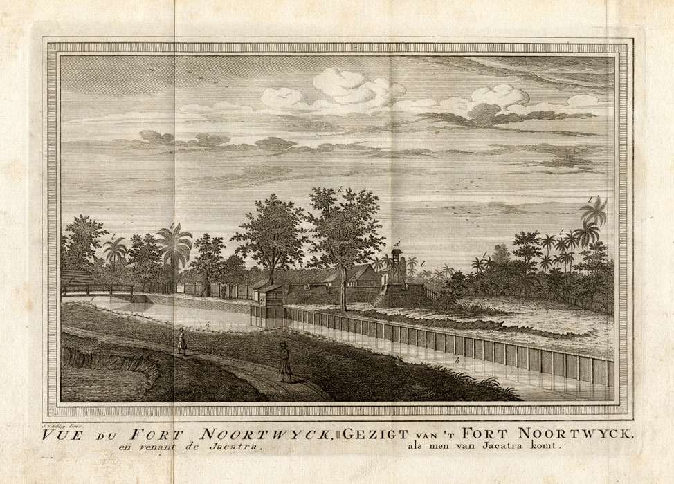
Vue du Fort Noortwyck II – Schley (1750)
Antique Maps, Plans & Charts
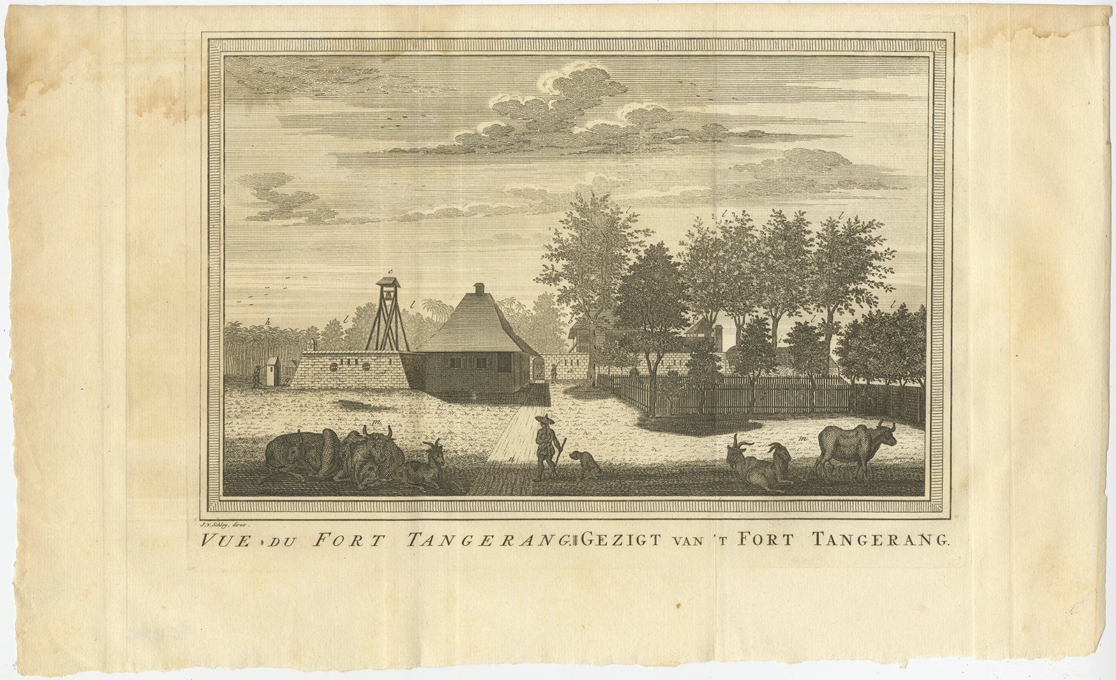
Vue du Fort Tangerang – Van Schley (1763)
Antique Maps, Plans & Charts
Vue du Poste Ryswick – Schley (1750)
Antique Maps, Plans & Charts
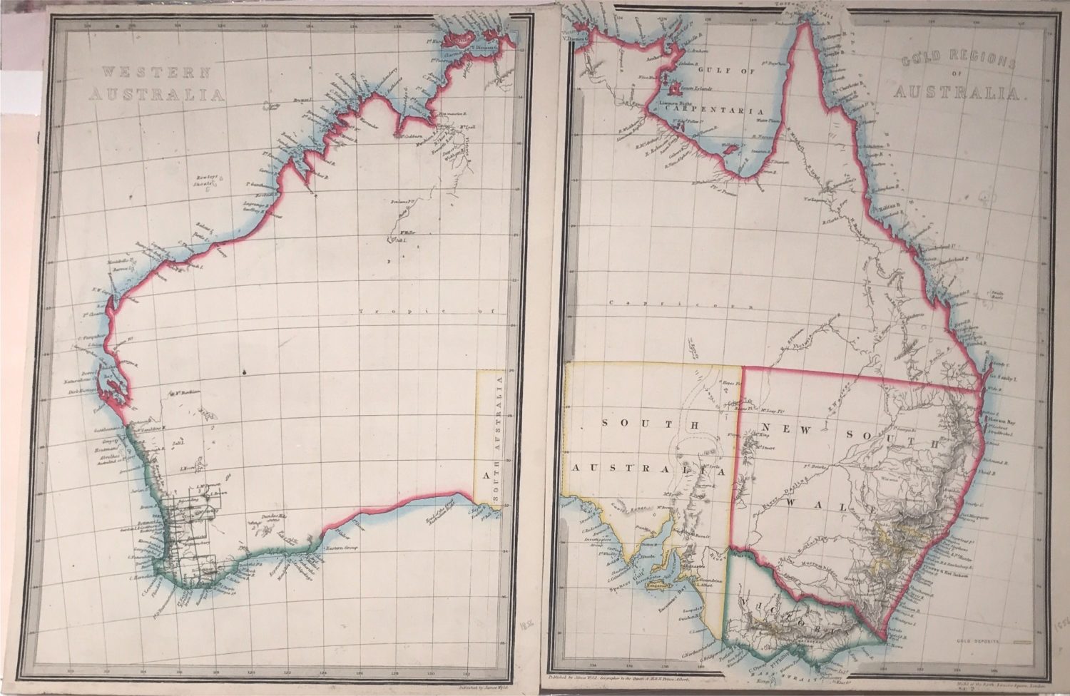
Western Australia and the Gold Regions – Anonymous (1864)
Animal Prints
Yunx, Torquilla – Sepp & Nozeman (1809)
←
1
2
3
…
79
80
81
82
Visit Gallery
WhatsApp
Shop Online
Location
Scroll to Top