Skip to content
Maps of Asia
Dutch East Indies
Jakarta Collection
Visit Us
Contact
Shop Online Worldwide
Shop Online Worldwide
Main Menu
Maps of Asia
Dutch East Indies
Jakarta Collection
Visit Us
Contact
Home
/
Antique Prints
/
Maritime
/ Page 4
Maritime
Showing 37–48 of 83 results
Default sorting
Sort by popularity
Sort by latest
Sort by price: low to high
Sort by price: high to low
Antique Maps, Plans & Charts
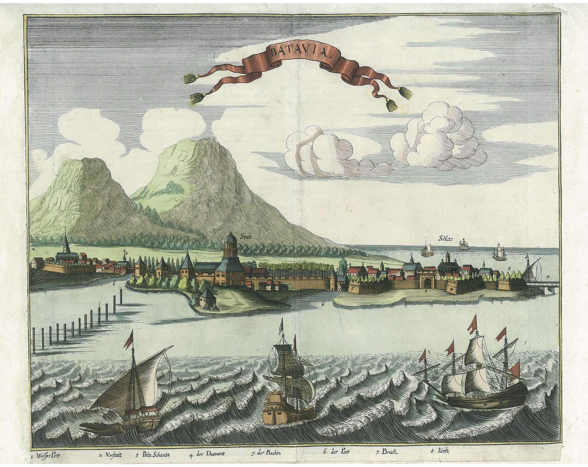
Batavia – Semler (1664)
Antique Maps, Plans & Charts
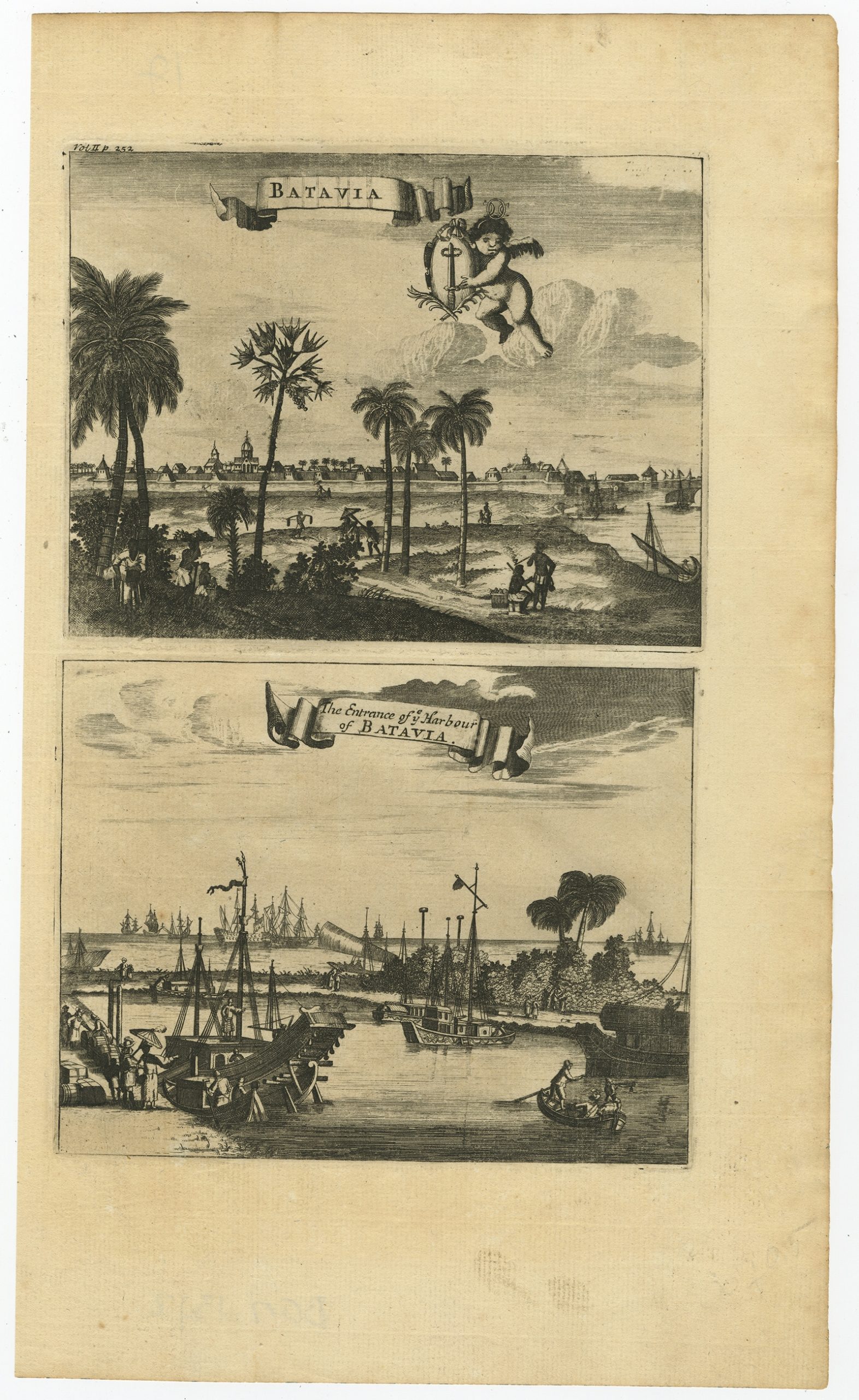
Batavia – The entrance of ye Harbour of Batavia – Nieuhof (1744)
Antique Prints
Batavia – Unknown (c.1750)
Antique Maps, Plans & Charts
Carte de l’Asie inferieure selon les auteurs anciens.. – Chatelain (1732)
Antique Maps, Plans & Charts
Carte de L’Isle Celebes ou Macassar – Bellin (c.1750)
Antique Maps, Plans & Charts
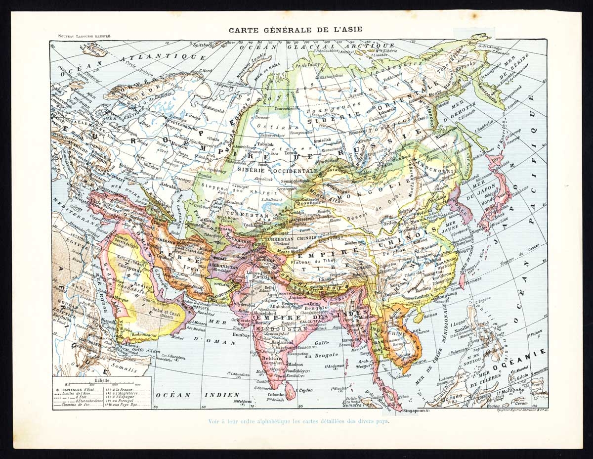
Carte Generale de l’Asie – Larousse (1897)
Antique Maps, Plans & Charts
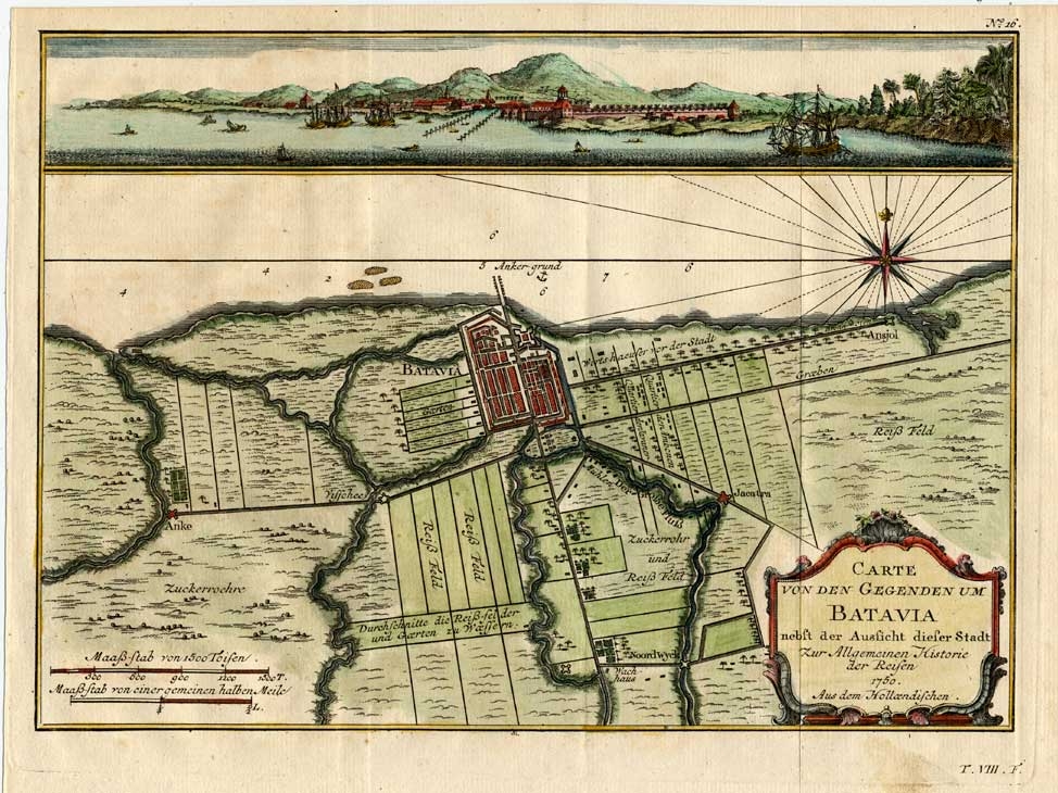
Carte von den Gegenden um Batavia (..) – Schwabe (1751)
Antique Maps, Plans & Charts
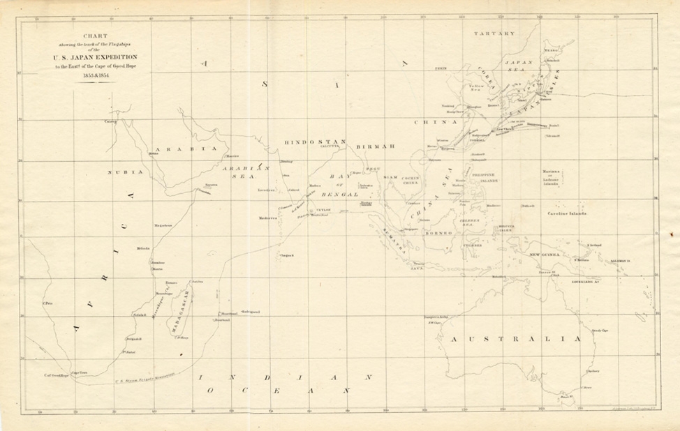
Chart showing the track of the Flagships.. – Perry (1855)
Antique Maps, Plans & Charts
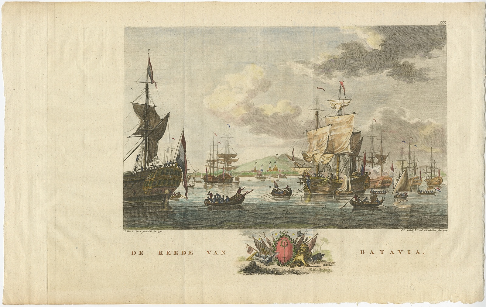
De Reede van Batavia – Kobell (1779)
Antique Maps, Plans & Charts
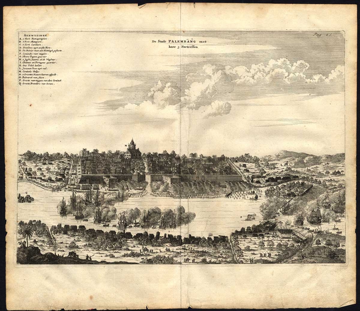
De Stadt Palembang met haer 3 Fortressen – Nieuhof (1682)
Antique Maps, Plans & Charts
Gezigt van Ampanan – Van de Velde (1844)
Antique Prints
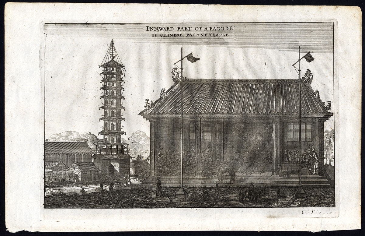
Innward part of a Pagode or Chinese pagane temple – Nieuhof (1673)
←
1
2
3
4
5
6
7
→
Visit Gallery
WhatsApp
Shop Online
Location
Scroll to Top