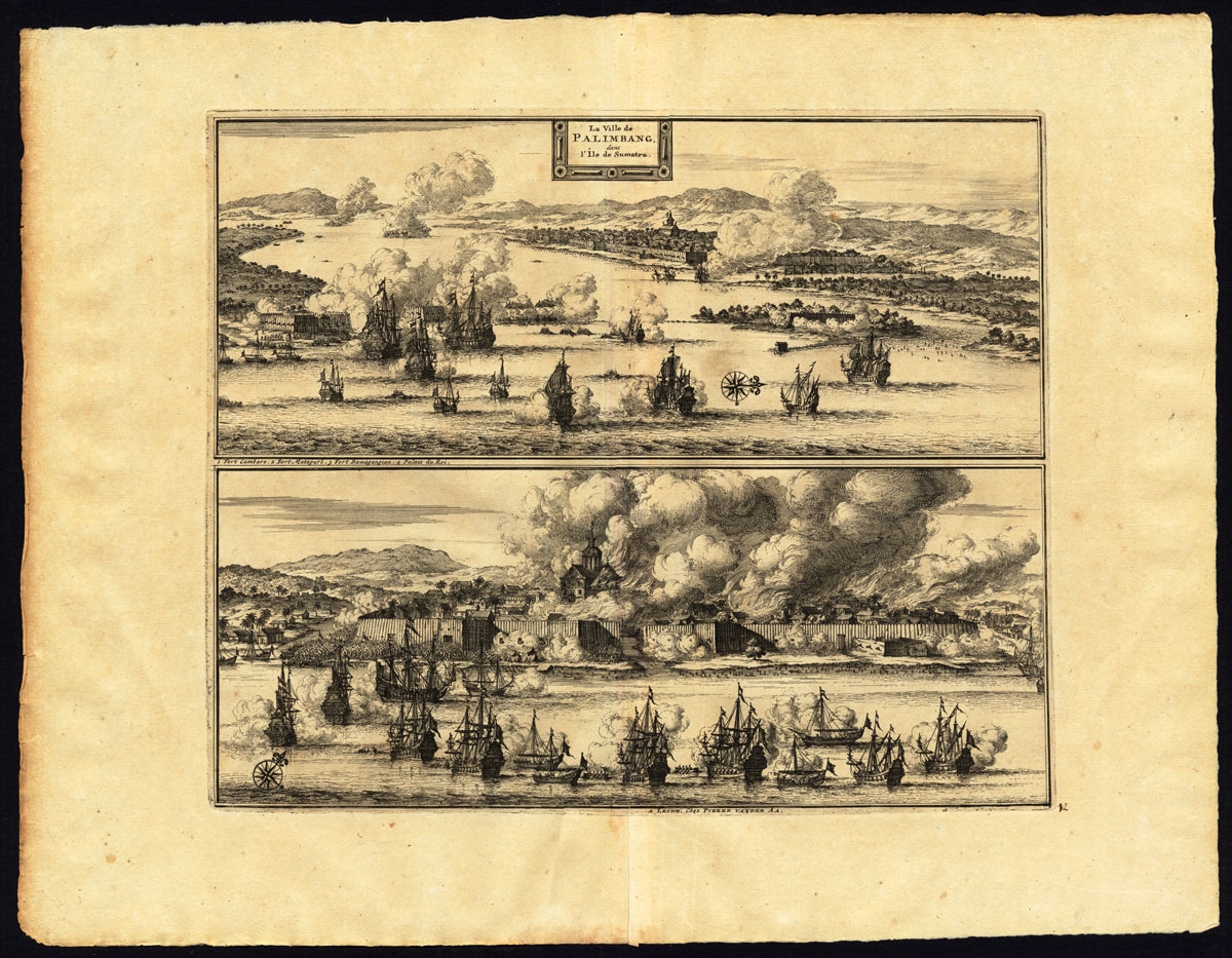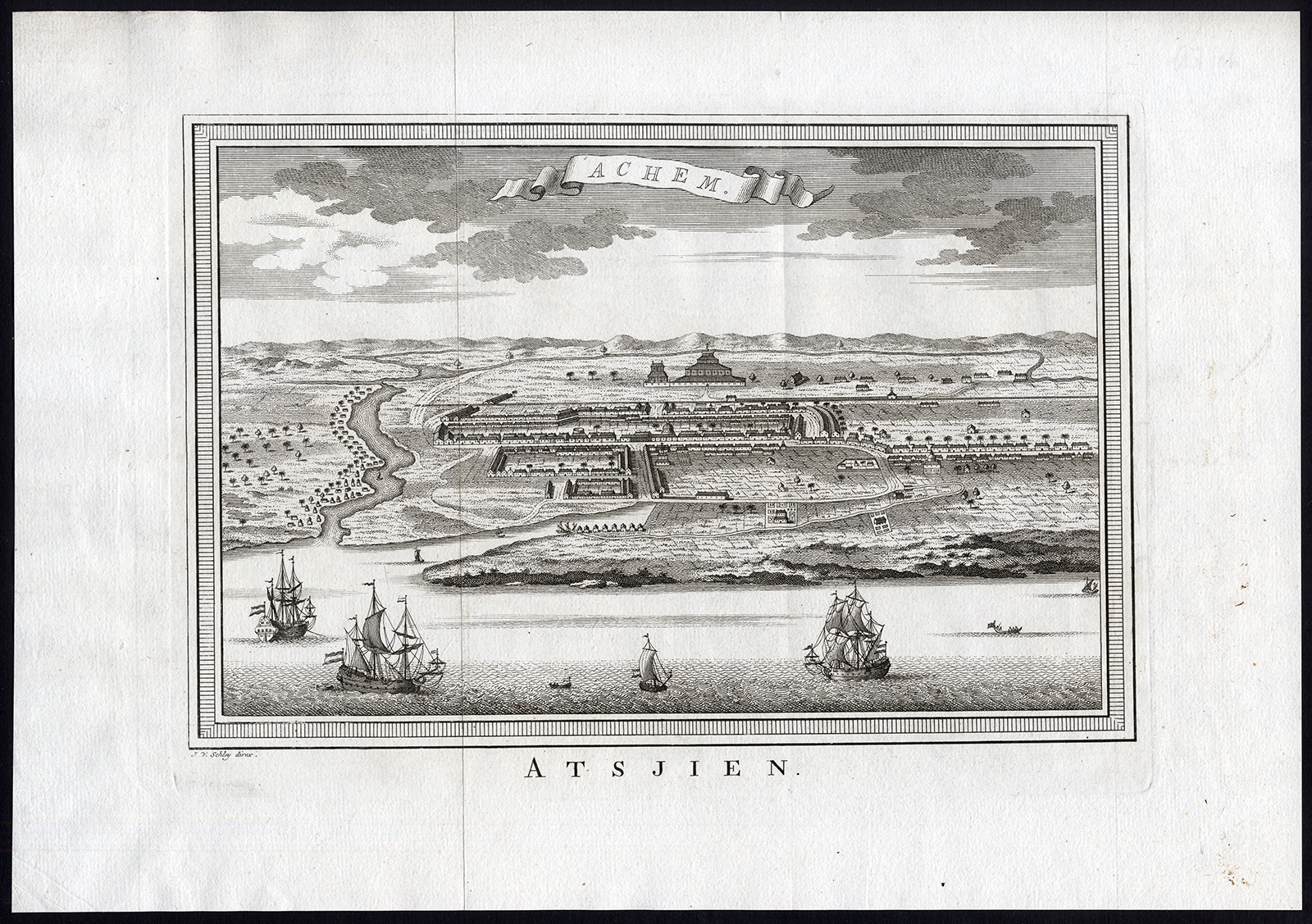
Jakarta Collection
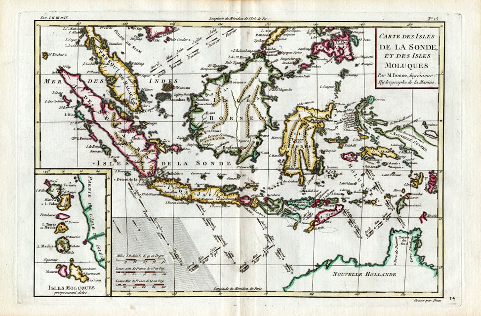
Carte des Isles de la Sonde et des isles Moluques – Bonne (1780)
Description: Antique Map ‘Carte des Isles de la Sonde et des isles Moluques’. (Map of the Islands of Indonesia, The Moluccas, Philipines.) Detailed map of southeast Asia, showing the Malay Peninsula, Sumatra, Java and the island of Borneo. Inset with the islands of the Moluccas. With cartouche and scale. Published in France, ca. 1780.
Artists and Engravers: Rigobert Bonne (1727-1795) was one of the most important cartographers of the late 18th century. In 1773 Bonne succeeded Jacques Nicolas Bellin as Royal Cartographer to France in the office of the Hydrographer at the Depôt de la Marine. Working in his official capacity, Bonne compiled some of the most detailed and accurate maps of the period.
- Date: 1780
- Technic: Copperplate engraving on verge type hand laid paper with watermark. Outline hand colour.
- Overall size: 15 x 9,8 inch
- Image size: 12,6 x 8,5 inch
- Condition: Excellent; general age related toning; some light staining from handling.
- PartNumber: 14567
- Storage Location: (BG) A165-01