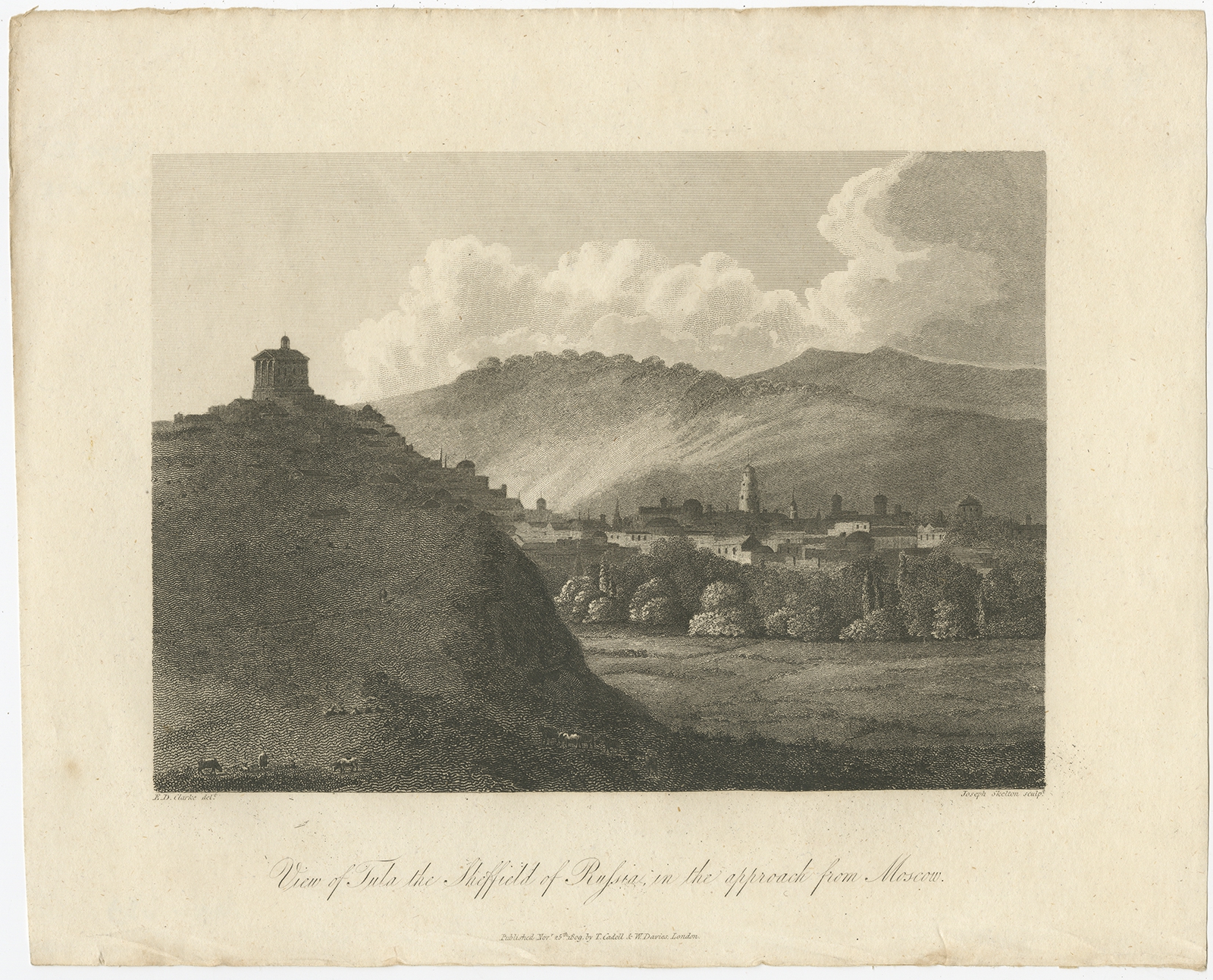
Description
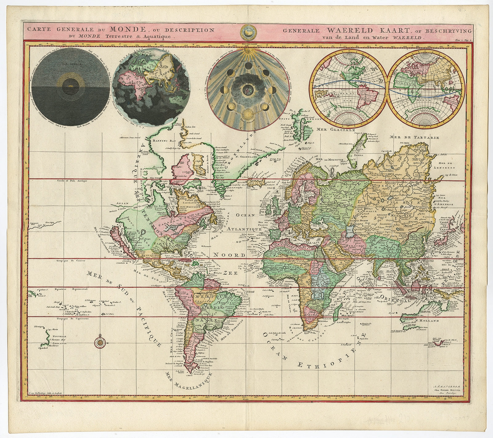
Description: Antique print, titled: ‘Carte Generale du Monde, ou Description du Monde Terrestre & Aquatique / Generale Waereld Kaart, of Beschryving van de Land en Water Waereld’ – This is Pierre Mortier’s world map drawn on Mercator’s projection. It depicts California as an island and the Detroit d’Anian connected by dotted lines through a Northwest Passage to Button’s Bay located to the west of Hudson Bay. There is an erroneous large lake shown as the source for the R. de Nort (Rio Grande River) located in the Southwest, as well as an early, open-ended version of the Great Lakes named Mer Douce. A small coastline of New Zealand appears in the Pacific. The northeast coast of Asia is severely truncated and shows Witsen’s Cap de Glaces. Australia’s northern coast is shown connected to New Guinea, and two disjointed coastlines appear to the south, including Van Diemen’s Land. The most interesting features of the map are the five spheres presented along the top depicting day and night, the flood, the phases of the moon, and the Western and Eastern Hemispheres. The map was precisely engraved by Jan van Luchenburg (imprint at lower left). This is the first state with Mortier’s imprint at bottom right. Source unknown, to be determined.
Artists and Engravers: Made by ‘Pierre Mortier’ after an anonymous artist. Made by ‘Jan van Luchtenburg’ after an anonymous artist. The 18th century Dutch map trade could build on their reputation that originated from the Golden Age much longer than was assumed until now. The Amsterdam publishing company Covens & Mortier (1685-1866) has played an important part in this process. Most likely this company was the largest map trader of his days. Thousand of maps were brought on the market by Covens & Mortier, often edited from earlier sources and all members of this firm were gifted with a great commercial talent. Pieter and David Mortier were booksellers in Paris and have published a wide range of geographical works. After Pieter’s death, his widow continued the business until their son Cornelius took over. Cornelius started a partnership with his brother-in-law Johannes Covens and established the famous publishing house ‘Covens and Mortier’ in Amsterdam. They have re-issued Atlases of Sanson, de l’Isle, Visscher and de Wit.
- Date: 1700
- Technic: Engraving / etching with hand colouring on hand laid paper.
- Overall size: 19,8 x 17,6 inch
- Image size: 18,6 x 15,7 inch
- Condition: Good, given age. Minor paper separation top edge, barely toucing image; repaired. A few light crinkles. Original middle fold as issued. General age-related toning and/or occasional minor defects from handling. Please study scan carefully.
- PartNumber: PCT-58802
- Storage Location: BG-B6-02 Iscra