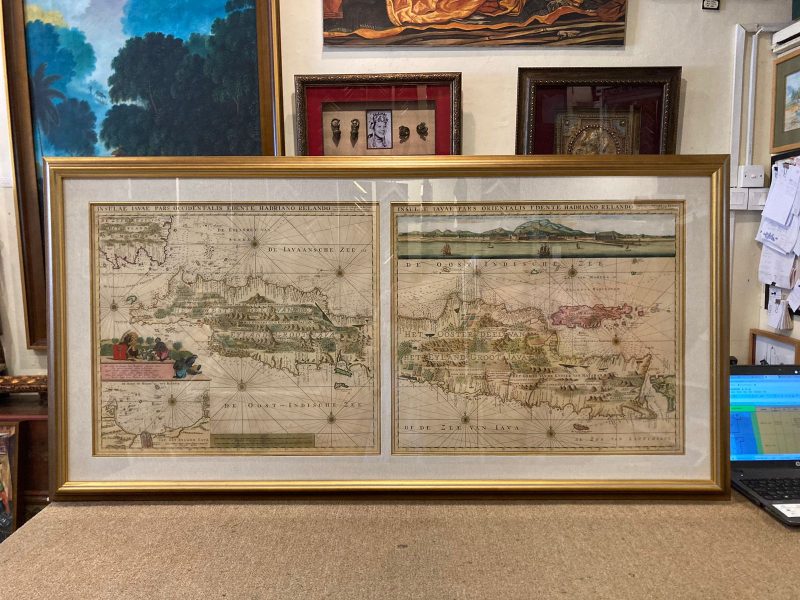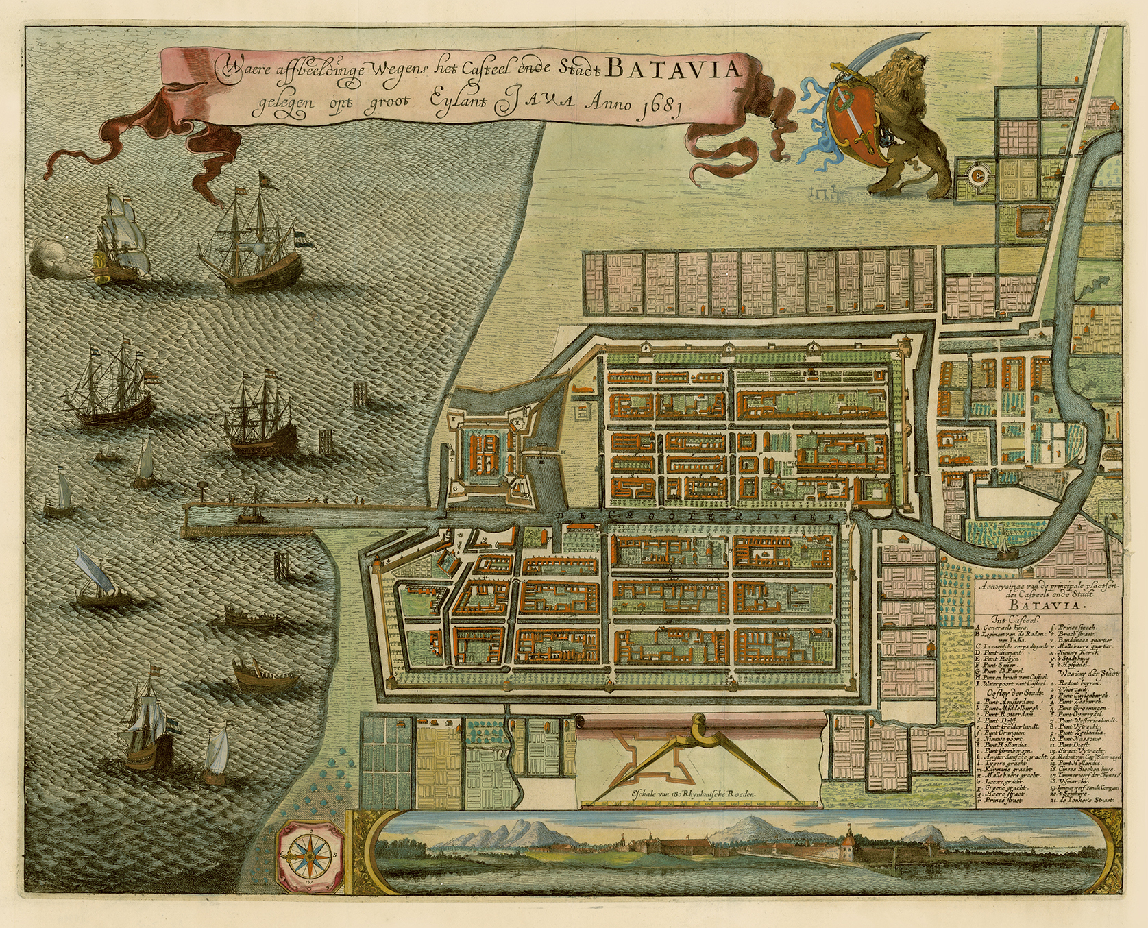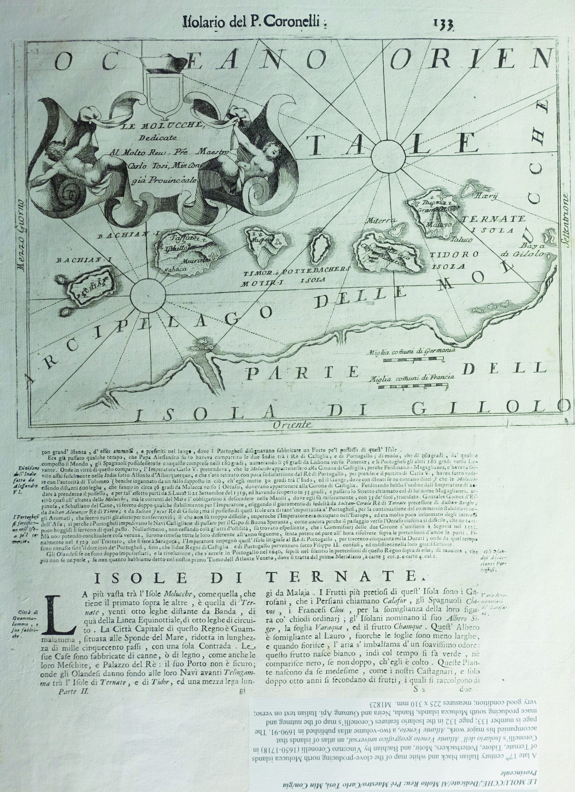
Description
Titled ‘Le Molucche/Dedicate/Al Molto Reu : Pre Maestro/Carlo Tosi, Min Con/gia Provinceale’
A late 17th century Italian black and white map of the clove-producing north Molucca islands of Ternate, Tidore, Potterbackers, Motir and Bachian by Vinceno Coronelli (1650-1718) in Coronelli’s Isolario dell’ Atlante Veneto geografico universal, an atlas of islands that accompanied his major work, Atlante Veneto, a two-volume atlas published in 1690-1691. The page is number 133; page 132 in the Isolario features Coronelli’s map of the nutmeg and mace producing south Molucca islands, Banda Neira and Gunung Api. Italian text on verso.
Very good condition
Overall size 490 x 365 mm
Image size 225 x 310 mm
Purchase code M1823