Description
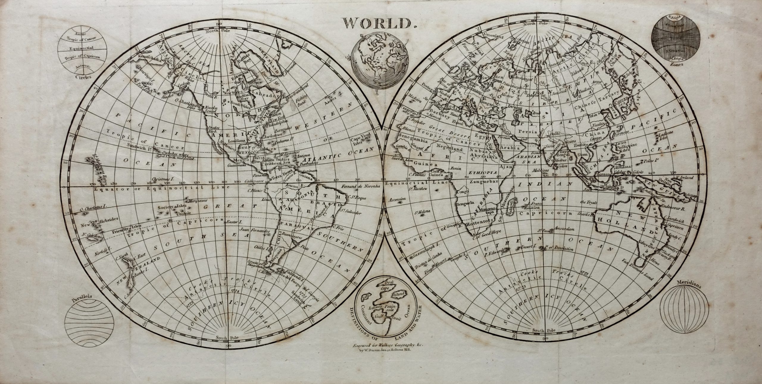
An attractive early 19th black and white English century twin hemisphere map of the world with six small spheres around the edges of the map showing climate zones, meridians, parallels, the circles and the definitions of land and water engraved by William Darton (1755-1819) of 40, Holborn Hill, London and published in The Atlas to Walker’s Geography &c. by Vernor and Hood c.1802. While not large, the maps in Walker’s Geography contain an impressive amount of detail carefully presented. The information was the best available in London at the beginning of the 19th century, meaning the best in the world so these maps are not only attractive, but provide an excellent cartographic picture of the world at the time.
Good condition, only foxing and browning in the margins.
Measures 207 x 408 mm
Purchase code M1651