A New and Accurate Map of Anatolia or Asia Minor (..) – Bowen (1747)
Product Information
Product code: BG-06207€278,50
Description:Â Antique map Middle East titled ‘A New and accurate map of Anatolia or Asia Minor, with Syria and such other provinces of the Turkish Empire (..)’. Beautiful map of Turkey between the Black Sea and Cyprus. This map originates from ‘A Complete System of Geography’.Â
Artists and Engravers:Â Emanuel Bowen (1694?-1767) was a British engraver and print seller.Â
- Date: 1747
- Overall size: 48 x 38.5 cm.
- Image size: 42 x 34 cm.
- Condition: Good, general age-related toning. Few worm holes, please study image carefully.
1 in stock
Description
Description:Â Antique map Middle East titled ‘A New and accurate map of Anatolia or Asia Minor, with Syria and such other provinces of the Turkish Empire (..)’. Beautiful map of Turkey between the Black Sea and Cyprus. This map originates from ‘A Complete System of Geography’.Â
Artists and Engravers:Â Emanuel Bowen (1694?-1767) was a British engraver and print seller.Â
- Date: 1747
- Overall size: 48 x 38.5 cm.
- Image size: 42 x 34 cm.
- Condition: Good, general age-related toning. Few worm holes, please study image carefully.
Related Products
Antique Map of New Zealand by Blackie & Son (1883)
Antique Map of the Asian Continent by Danckerts (1780) – SOLD
Antique World Map Twin Hemisphere by Visscher (c.1657)
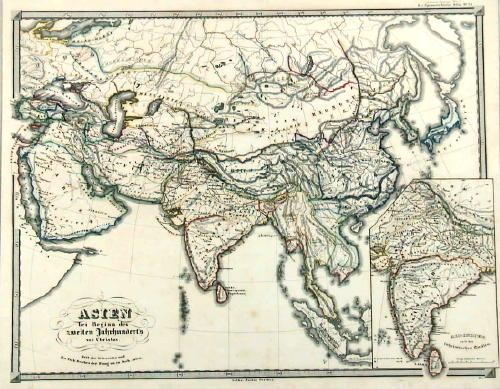
Asien gegen ende des 18th Jahrhunderts – Spruner (1855)
Description: Antique map Asia titled ‘Asien gegen ende des 18th Jahrhunderts. Die Briten in Indien; das Reich der Mandschu‘. This fascinating hand colored map depicts Asia at the end of the 18th century. The British had established themselves in India and the Chinese Empire was under Manchu control. Also depicts Southeast Asia in good detail with early versions of Vietnam (Anam & Tonkin), Cambodia (Kambodscha) and Thailand.
Artists and Engravers: Karl Spruner von Merz (15 November 1803 – 24 August 1892), or Karl von Spruner as he preferred to be known, was a German cartographer and scholar. He is best known for his historical atlases. The first of these was his Historischer Atlas von Bayern (historical atlas of Bavaria), published in 1838. His greatest work was his Historisch-Geographischer Hand-Atlas, whose first edition appeared in parts from 1848 to 1853.
- Date: 1853
- PartNumber: 232
- Storage Location: (BG) B3-20
Antique Map of Asia Minor by Lapie (1842)
Description: Antique map titled 'Carte de l'Asie Mineure Ancienne (..)'. Map of Asia Minor, also called Anatolia or Turkish Anadolu. This map originates from 'Atlas universel de géographie ancienne et moderne (..)' by Pierre M. Lapie and Alexandre E. Lapie.
Artists and Engravers: Pierre M. Lapie was a French cartographer and engraver. He was the father of cartographer Alexandre Emile Lapie.
- Date: 1842
- Overall size: 68 x 50.5 cm.
- Image size: 54.5 x 40 cm.
- Condition: Very good, general age-related toning. Original folding line, blank verso. Please study image carefully.
Antique Print of Chinese Punishment of the Rack by Allom (1859)
Description: Antique print titled 'Chinese Punishment of the Rack'. Print of Chinese punishment of the rack. The rack is a torture device consisting of a rectangular, usually wooden frame. This print originates from 'The Chinese Empire: historical and descriptive. Illustrating the manners and customs of the Chinese,in a series of steel engravings, from original sketches' by T. Allom
Artists and Engravers: Thomas Allom (1804–1872) was an English architect, artist, and illustrator, who published books on his travels from Europe to the Middle East and throughout Asia.
- Date: 1859
- Overall size: 27 x 19.5 cm.
- Image size: 23 x 16 cm.
- Condition: Good, general age-related toning. Minor wear, blank verso. Please study image carefully.