Description
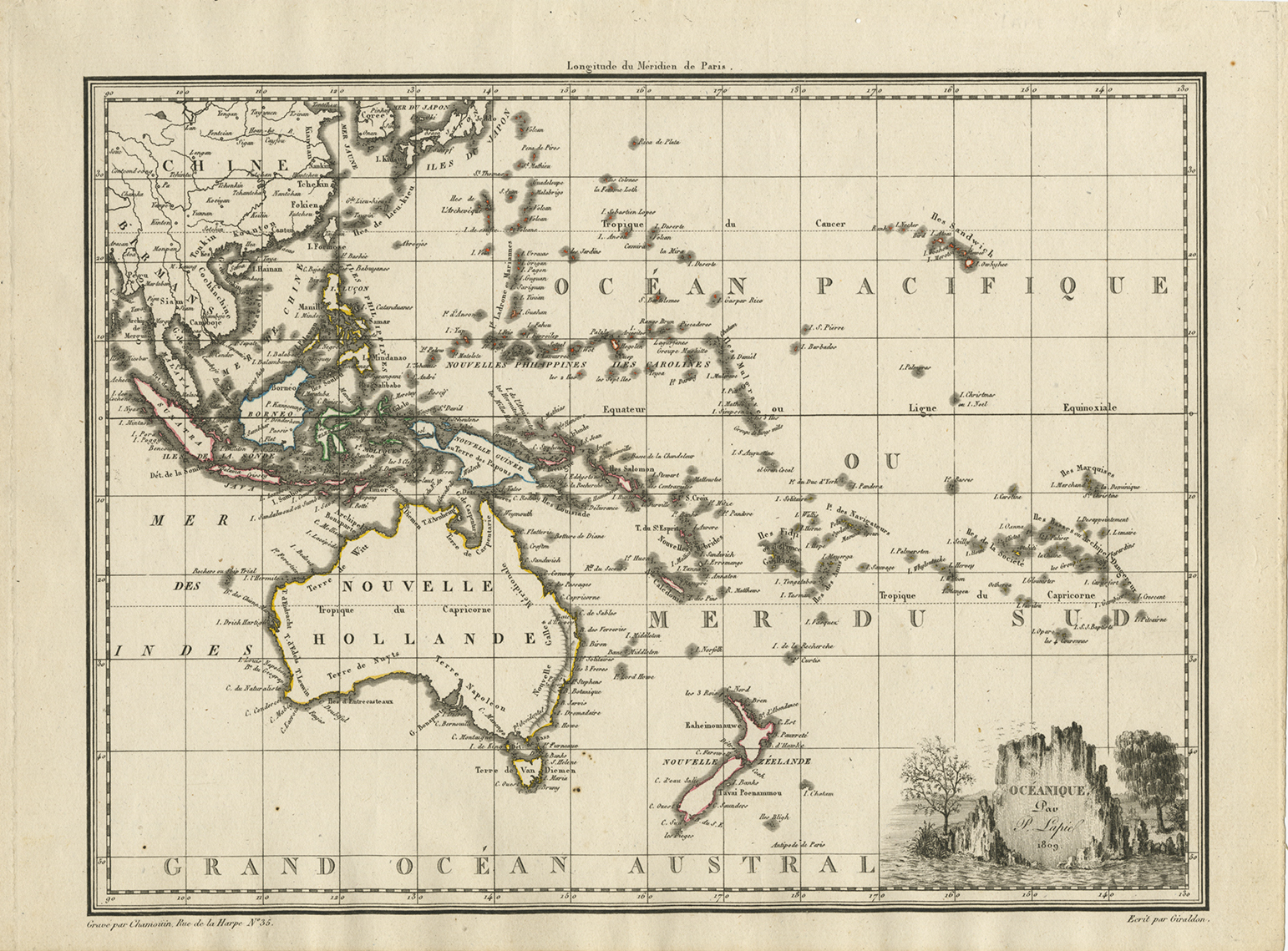
Antique map Australasia titled ‘Oceanique Australasian ~ 1809’.
French Australasian map, titled ‘Oceanique’ and including ‘Nouvelle Hollande’, using the Fench names given by the Boudain expedition, eg. ‘Terre de Napoleon’, before the revision from Matthew Flinders prior exploration of the same coast. By Pierre Lapie, dated 1809
Lapie’s map features an attractive vignette based on illustrations by Lesueur. Charles Lesueur was the young artist on Baudin’s voyage, famous for his fine illustrations of Australian animals.
Pierre Lapie was the first geographer to the King of France and Chief of the Topographic section of the War Office.
Artist: P. Lapie
Year: 1809
Medium: Copperplate engraving
Verso: Blank
Color: Modern outline.
Measurements: 290 x 221 mm.
Purchase Code: M2400
SOLD


