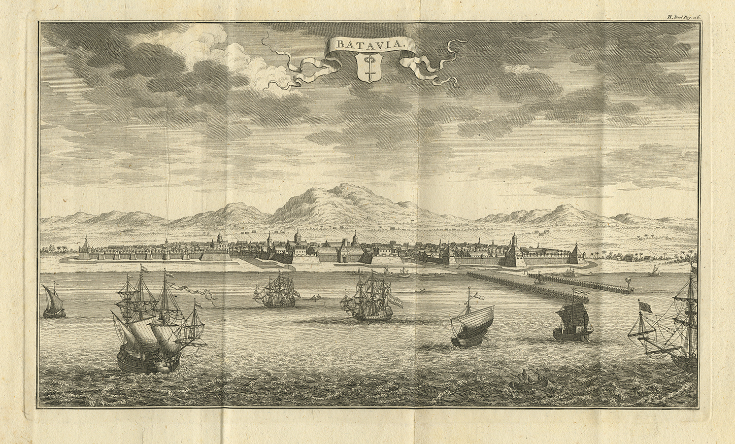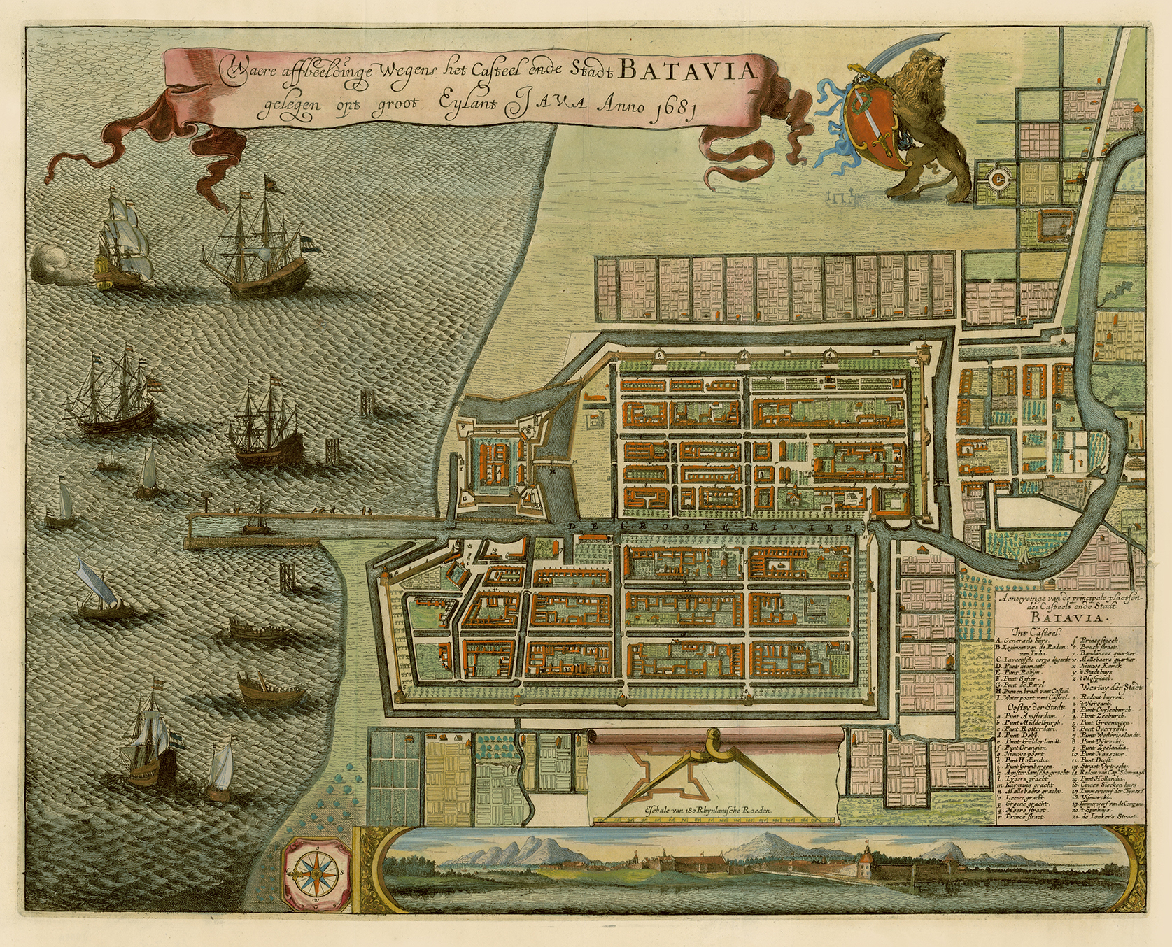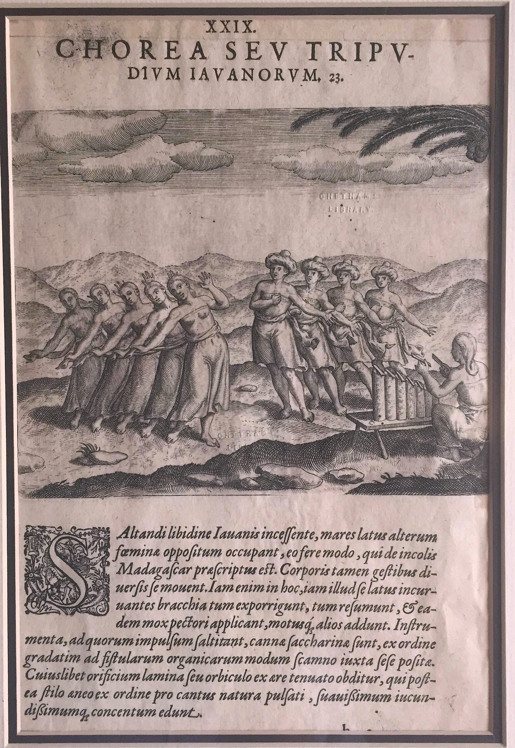
Description
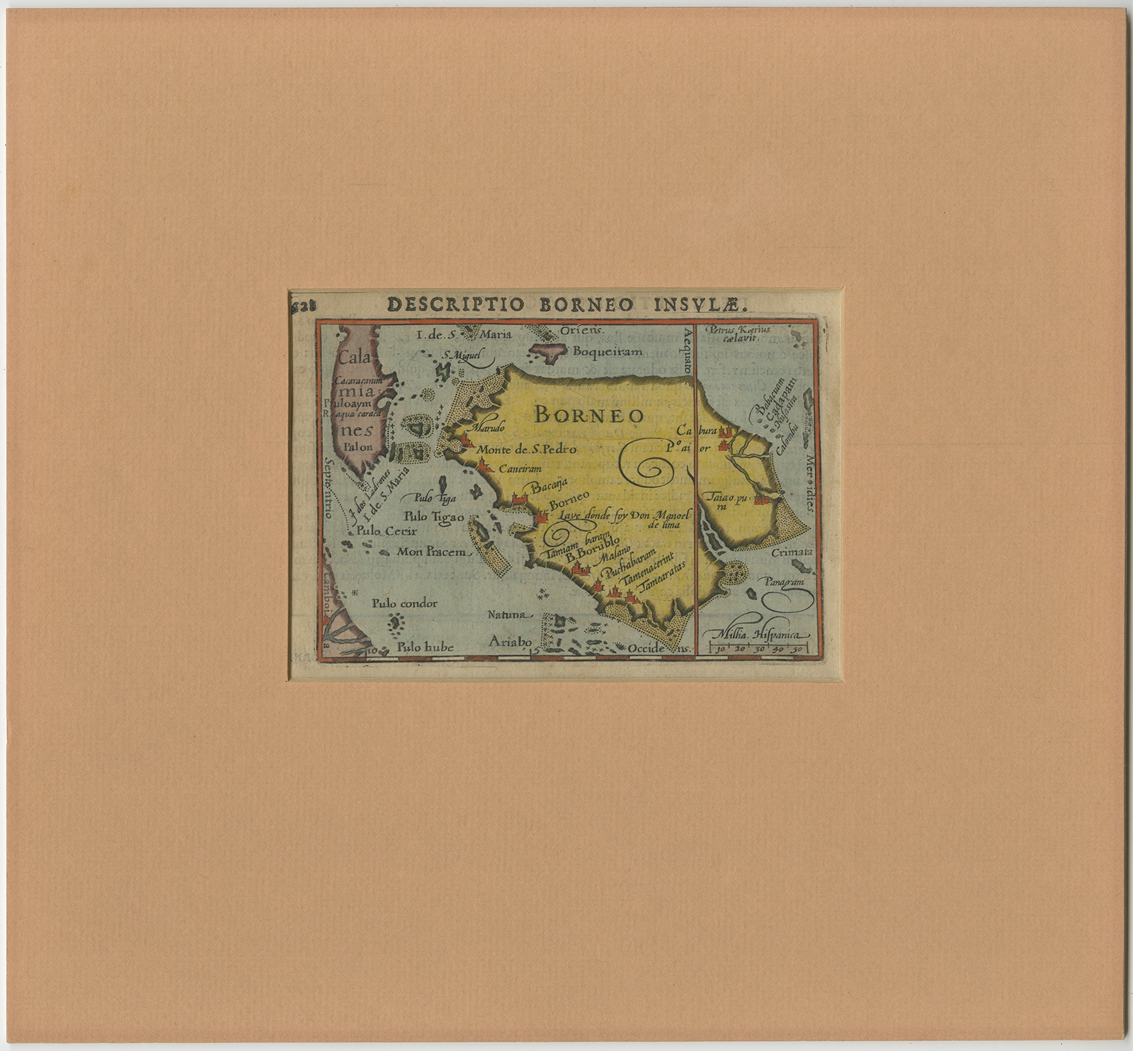
Description: Antique map titled ‘Descriptio Borneo Insulae’. Old miniature map of the Indonesian island of Borneo. North is orientated to the left. The Equator runs through the southern part of the island. Originates from an edition of ‘Tabulae Geographicae contractae’ by P. Bertius.
Artists and Engravers: Bertius (1565-1629) was a Flemish cartographer, theologian, historian and geographer. Although he published much in the fields of history, theology and mathematics, he is perhaps best known as a cartographer. His works were heavily influenced by the earlier works of Mercator, which date from the late sixteenth century. He was connected by marriage to Jacobus Hondius and Pieter van den Keere, both excellent cartographers, who would influence his later life. He was ‘Cosmographer’ to the court of King Louis XIII.
- Date: c.1610
- Overall size: 28 x 26 cm.
- Image size: 12 x 8.5 cm.
- Condition: Very good, Latin text on verso. Map is in passe-partout but can be easily removed. Please study image carefully.
- Purchase code: BG-11916