Antique Map of India and Southeast Asia by Sanson ‘1654’
Product Information
Product code: BGJC-364€1.285,00
Tags: Indonesia, India, China, Southeast Asia, Map of Asia, Indochina.
Social
Description
Description
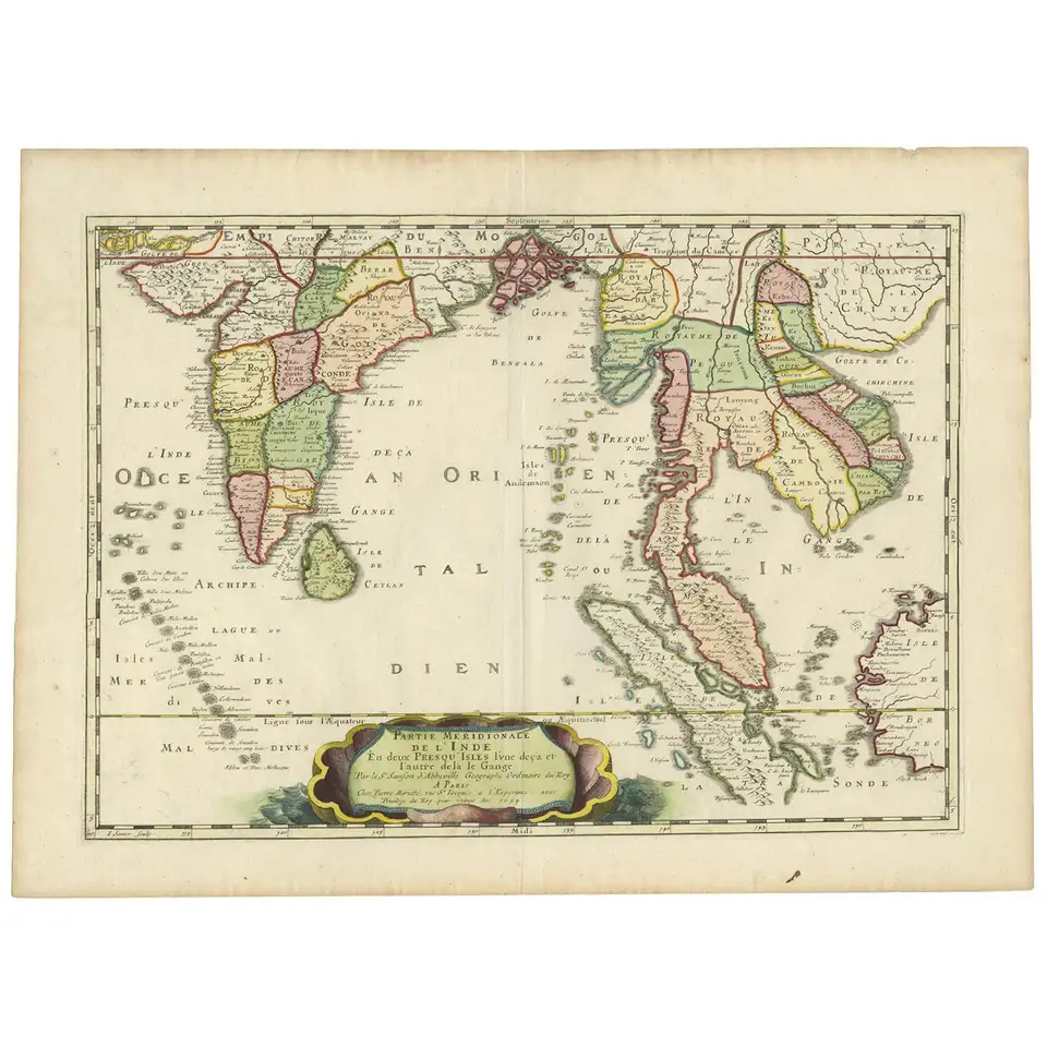
Antique map titled ‘Partie Meridionale de l’Inde’. Early map of India and Southeast Asia. The map shows most of modern India, Bangladesh and Burma, the whole of Sri Lanka, Thailand, Malaysia, Laos, Cambodia, and Vietnam, and parts of Indonesia and China. First published in 1654 and issued separately, then included in Sanson’s ‘Atlas Les Cartes GĂ©nĂ©rales de toutes parties du Monde’, first issued in 1658.
Condition: General age-related toning, blank verso. Please study image carefully.
Dimensions: 60.5 x 45 cm.
Related Products
Antique Map of Batavia, Semarang and Surabaya by Wolters ‘circa 1910’
Antique map titled ‘Plattegronden van Steden op Java’. Old map with plans of Batavia (Jakarta), Semarang and Surabaya (Soerabaja)’. Published by J.B. Wolters. Condition: Please study images carefully. Dimensions: 25 x 16 cm.
€160,00
Add to cart
Antique Map of Batavia and Surabaya by Winkler Prins, 1905
Antique map titled ‘Batavia en Soerabaja’. Detailed plan of Batavia (Jakarta) and Soerabaja (Surabaya), Indonesia. The plans include important places like Tandjoeng Priok, Oedjong, Weltevreden, Ngampel, Keta Bang, Goebeng, Koepang, Goen Sari and Wanakrama. Condition:...
€160,00
Add to cart
Antique print of a Javanese priest by Hardouin (c.1873)
Antique print of a Javanese Priest titled ‘Een Javaansche Priester’ ( Ernest Hardouin ) Lithograph c.1873 Artist: Ernest Hardouin Published in: W.L. Ritter’s Java, Tooneelen uit het Leven, Karakterschetsen en Kleederdragten van Java’s Bewoners (...