Description
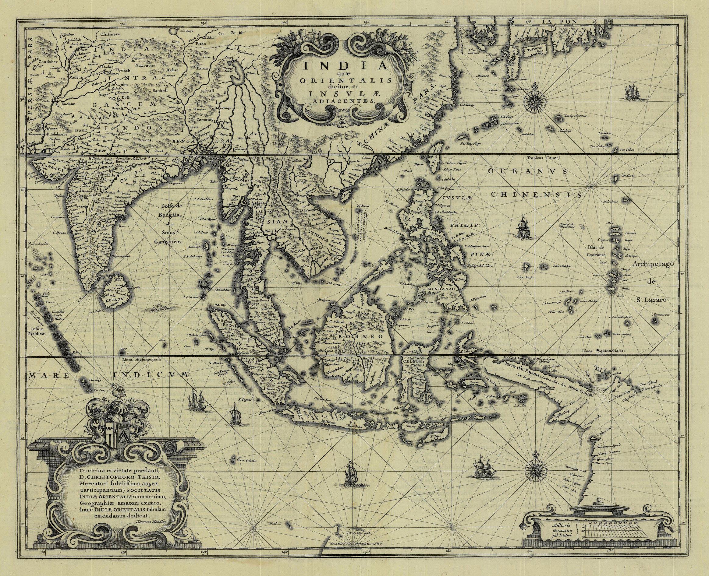
Antique Map South-East Asia by Hondius titled ‘INDIA quae ORIENTALIS dicitur, et INSVLAE ADIACENTES’.
A very attractive and much sought after early to mid-17th century black and white map of South-east Asia, the Philippines, the East Indian Islands (Indonesia) and the west coast of Cape York Peninsula, Australia by Henri (Henricus) Hondius (1597-1651), younger son of the great Dutch cartographer Jodocus Hondius the Elder (1563-1612), who continued his father’s business and worked in partnership with his borther-in-law, Johannes Janssonius to produce and publish the Atlas Novus in 1636 (Signature Bbbb – Ref. Koeman Vol. II, Me 50A, pp. 396). This map was a new one of the region that was dedicated to D. Christophorus Thisius and is one of the first maps to show the Dutch discoveries along the west coast of Cape York Peninsula (later named Carpentaria) and the most northerly discoveries on the west coast of Australia, G.F. de Wit’s Land and Eendrachtland. Hondius and Jansson almost certainly borrowed material from their arch rival William Blaeu who had published an almost identical map a year earlier (1635) in Volume I of his Novus Atlas.
The overall condition of the map is very good; Latin text on verso; measures 392 x 484 mm.
Artist: H. Hondius
Year: 1636
Purchase code: M1758
33.375.000 IDR
2.000,00 Euro
2.320,00 USD


