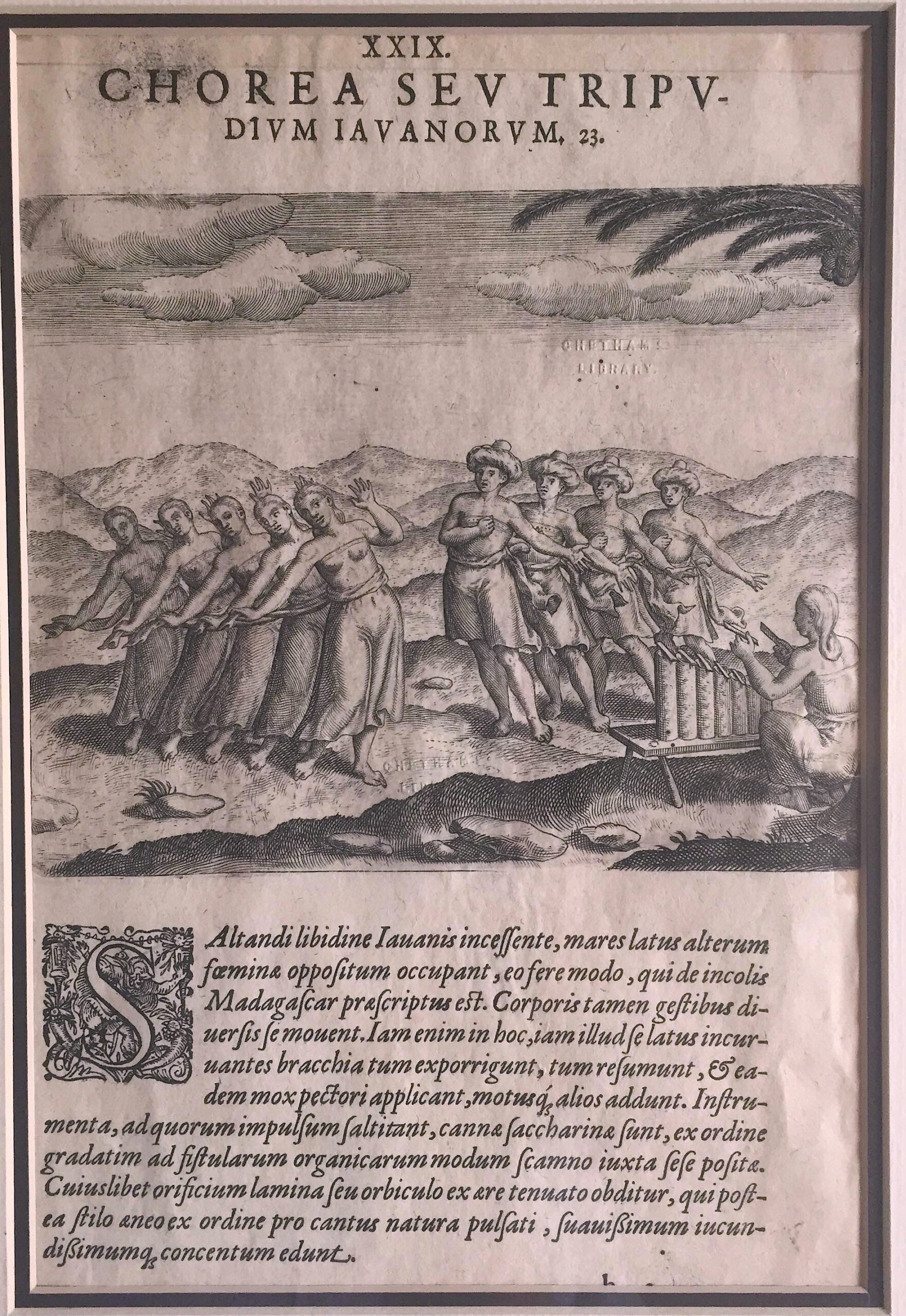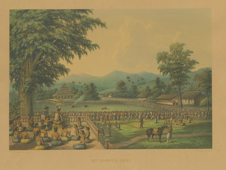
Jakarta Collection
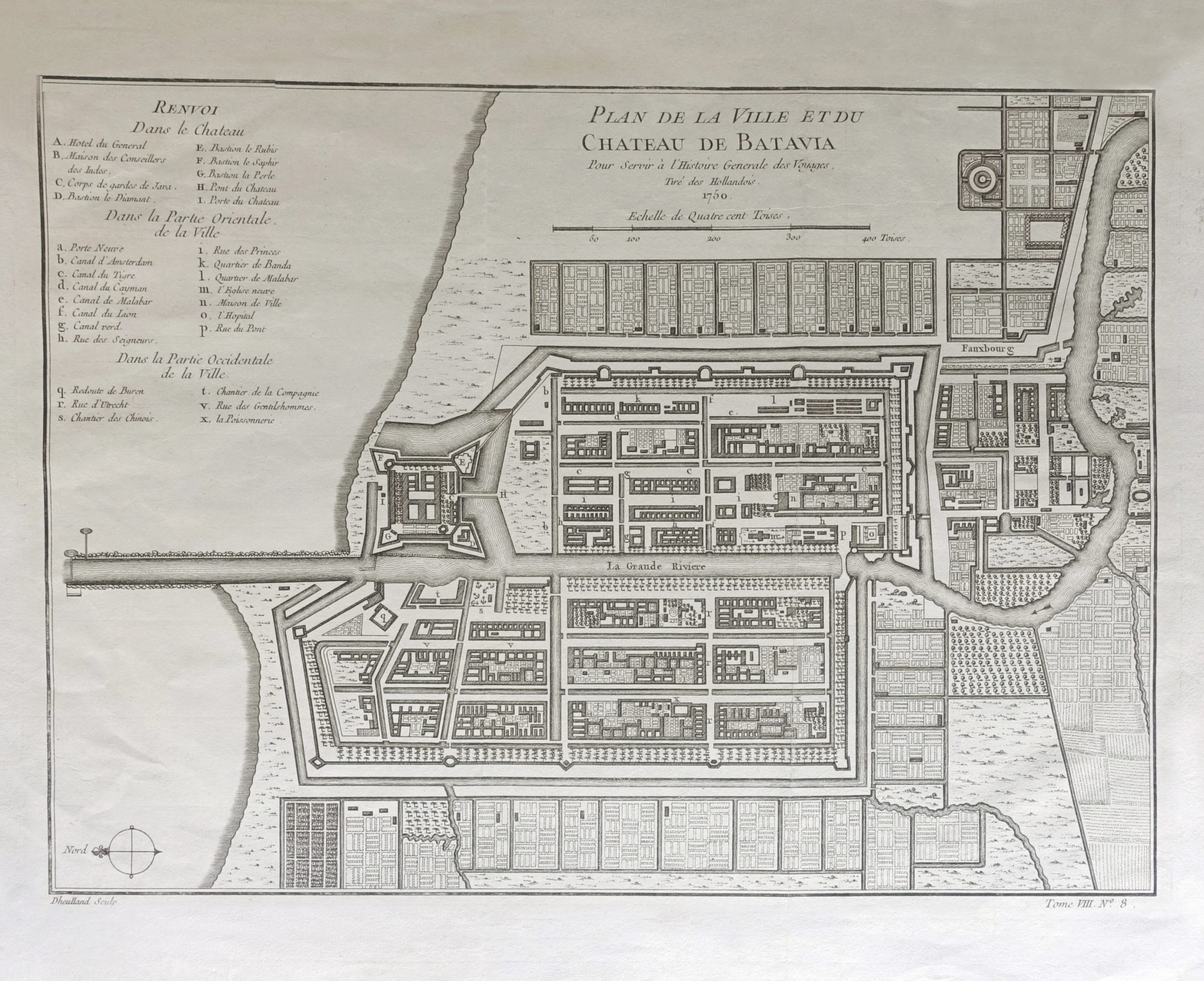
Plan of Batavia – Dheulland (c.1750)
A mid-18th century black and white detailed plan of Batavia with a key showing the main buildings and areas, engraved by Guillaume Dheulland (1700-1770).
A mid-18th century black and white detailed plan of Batavia with a key showing the main buildings and areas, engraved by Guillaume Dheulland (1700-1770) of Paris and published in A.F Prevost’s Histoire générale des voyages in Paris between 1750 and 1775. With original title ‘ PLAN DE LA VILLE ET DU/CHATEAU DE BATAVIA/pour server a l’Histoire Generale des Voyages/Tire des Hollandois/1750’
- Date: 1750
- Overall size : 215 x 293 mm
- Condition: Excellent condition apart from some rough edges to the paper; strong plate mark
- Purchase code: M1814