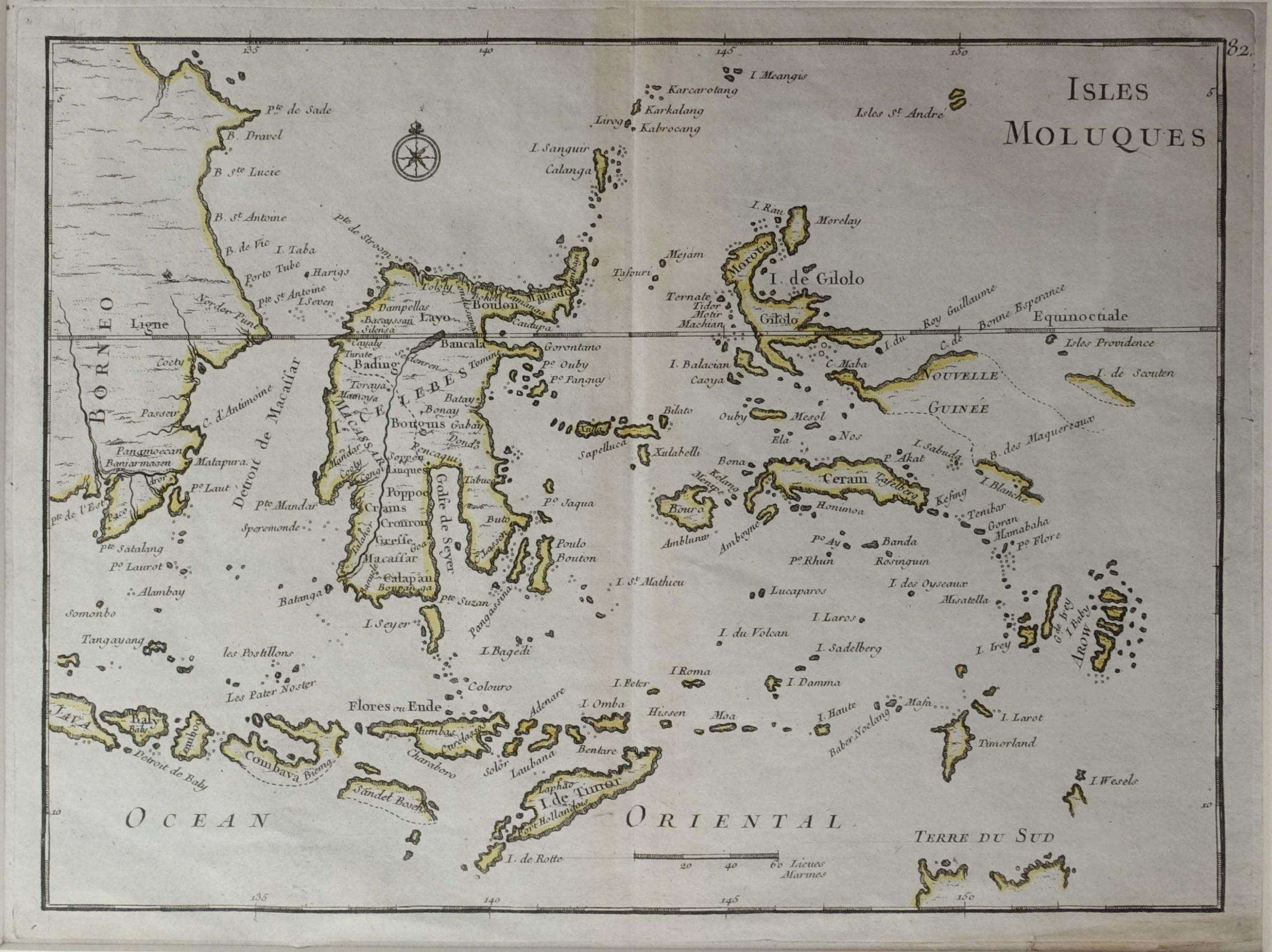
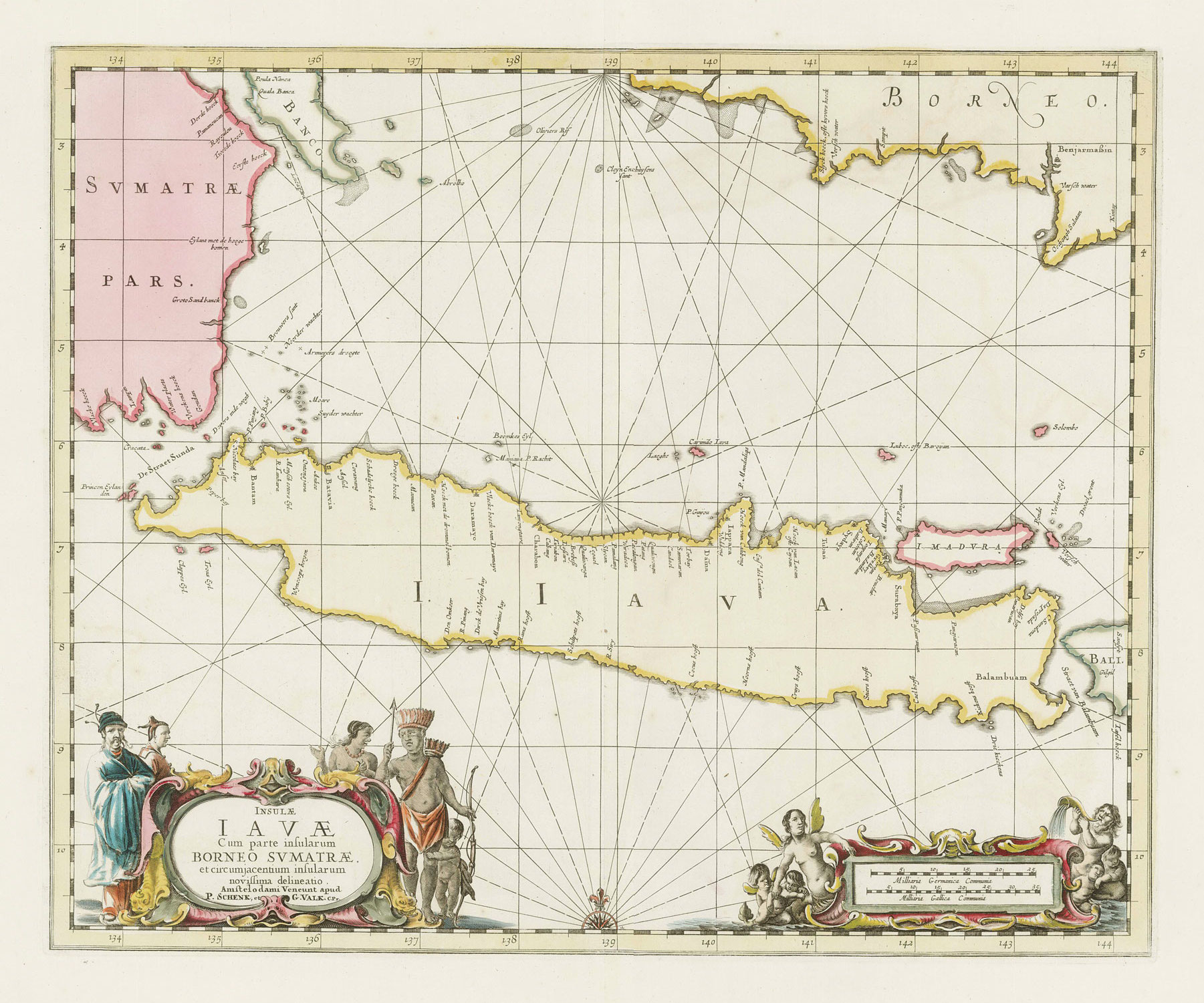
Antique Map of the Moluccas by Le Rouge (1748)
Antique map of the Moluccas titled ‘Isles Moluques’. Detailed map of the famous Spice Islands (Maluku Islands or the Moluccas).
Also includes Sulawesi, Bali, Timor, part of Borneo, New-Guinea with unfinished coast line, and a bit of the northern coastline of Australia, labeled Terre du Sud. This map originates from ‘Atlas Nouveau Portatif à l’usage des militaires et du voyageur’.
Georges-Louis Le Rouge (circa 17121 – c. 1790) was a cartographer, engraver and architect of King Louis XV, author of atlases, maps, battle plans and strongholds.
Condition: Good, please study image carefully.
Overall size: 41 x 34 cm (including passe-partout)
Image size: 28.5 x 17.5 cm.
Purchase code : M1112
2.400.000,00 IDR incl.passepartout
150,00 Euro incl.passepartout
165,00 USD incl.passepartout
Please do not hesitate to contact us if you would like to receive more information about this antique print.
