Jakarta Collection
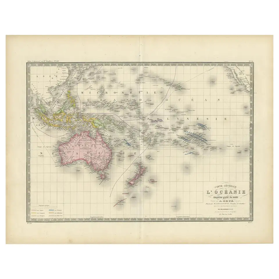
Antique Map of Oceania by Levasseur, circa 1860
Antique map titled ‘Carte générale de l’Océanie’. Large map of Oceania including New Zealand, Australia, Polynesia, Micronesia and the East Indies. This map originates from ‘Atlas Universel’ published by E. Levasseur, circa 1860.
Condition: General age-related toning, Minor wear and small defects. Blank verso, please study image carefully.
Dimensions: 61 x 47.5 cm
Purchase code : BG-12310
265,00 Euro
316,00 USD
IDR 4.600.000