Jakarta Collection
Antique Map of the Island of Java by Petri (c.1873)
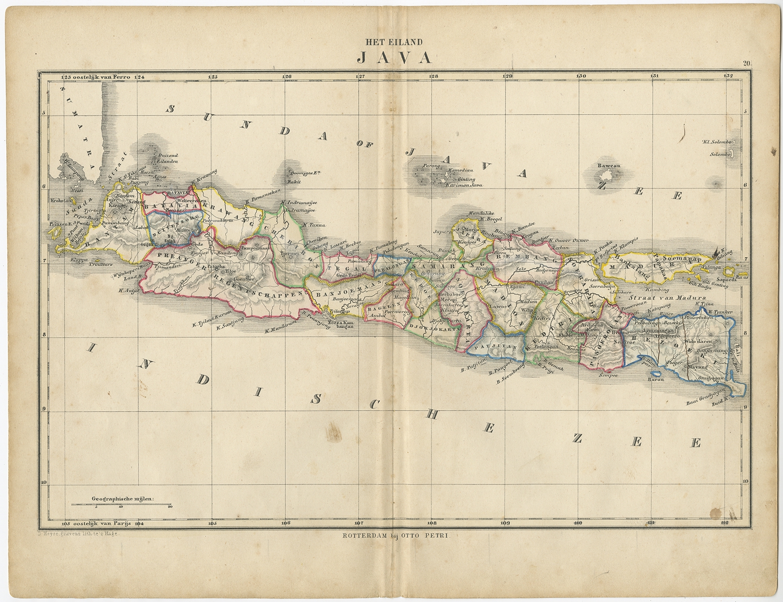
Description: Antique map titled ‘Het Eiland Java’. Old map depicting the island of Java, Indonesia. This map originates from ‘School-Atlas van alle Deelen der Aarde’.
Artists and Engravers: Published by O. Petri, Rotterdam.
- Date: c.1873
- Overall size: 34.3 x 26.3 cm.
- Image size: 31.7 x 22.3 cm.
- Condition: Good, general age-related toning. Split on folding line, please study image carefully.
- Purchase code: BG-06667-6


