Skip to content
Maps of Asia
Dutch East Indies
Jakarta Collection
Visit Us
Contact
Shop Online Worldwide
Shop Online Worldwide
Maps of Asia
Dutch East Indies
Jakarta Collection
Visit Us
Contact
Dutch East Indies
Search
Showing 2 results
Dutch East Indies
TEST LISTING —
Dutch East Indies
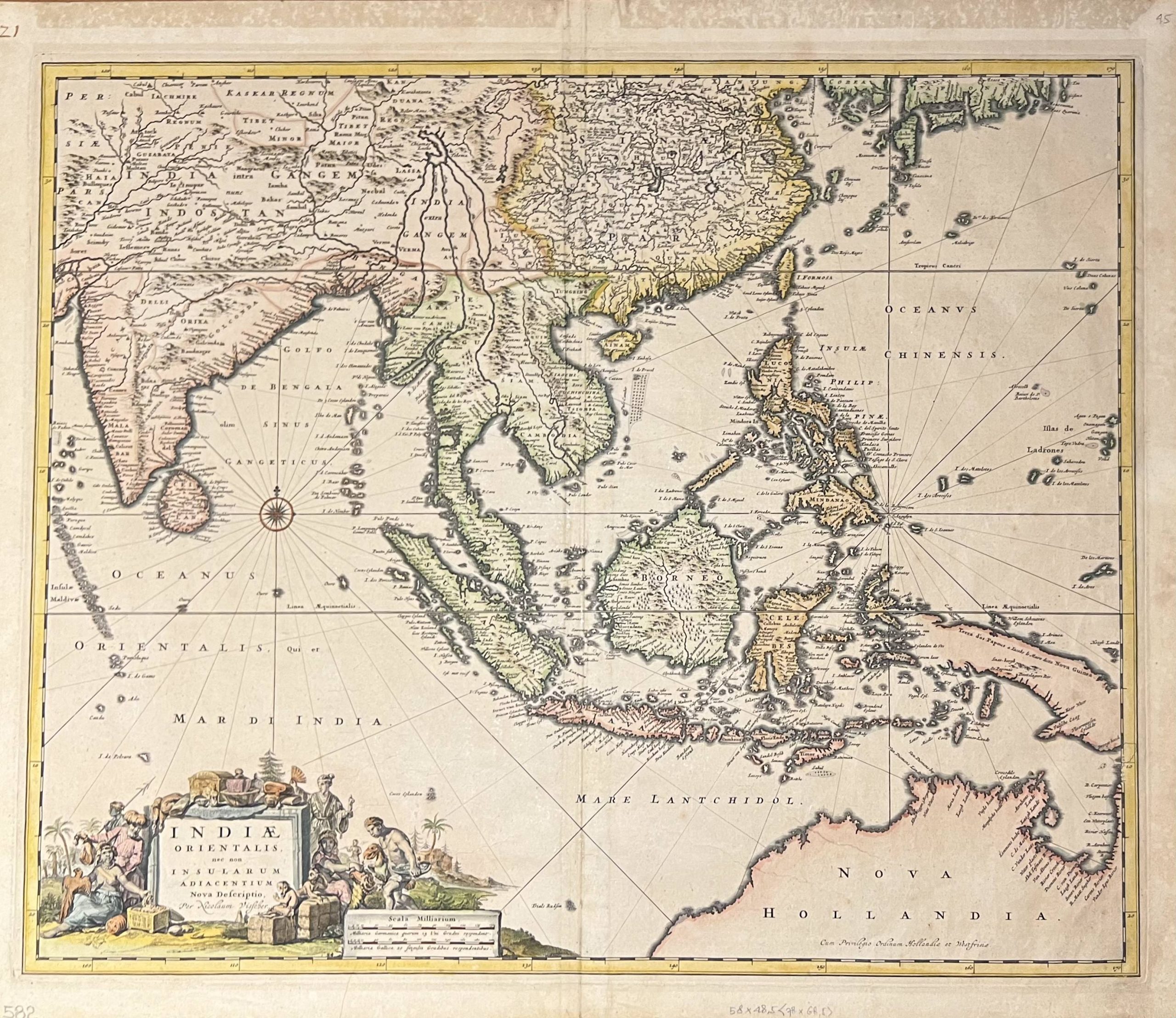
Antique Map of The East Indies by Visscher (1685)
Visit Gallery
WhatsApp
Shop Online
Location
Scroll to Top