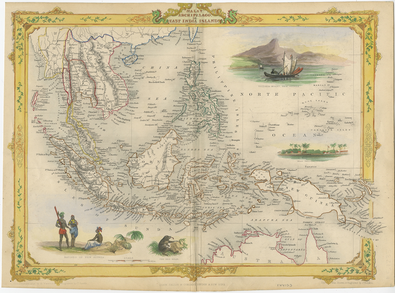
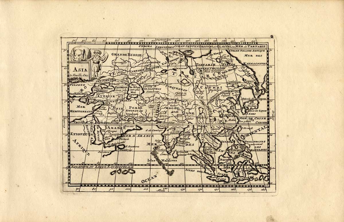
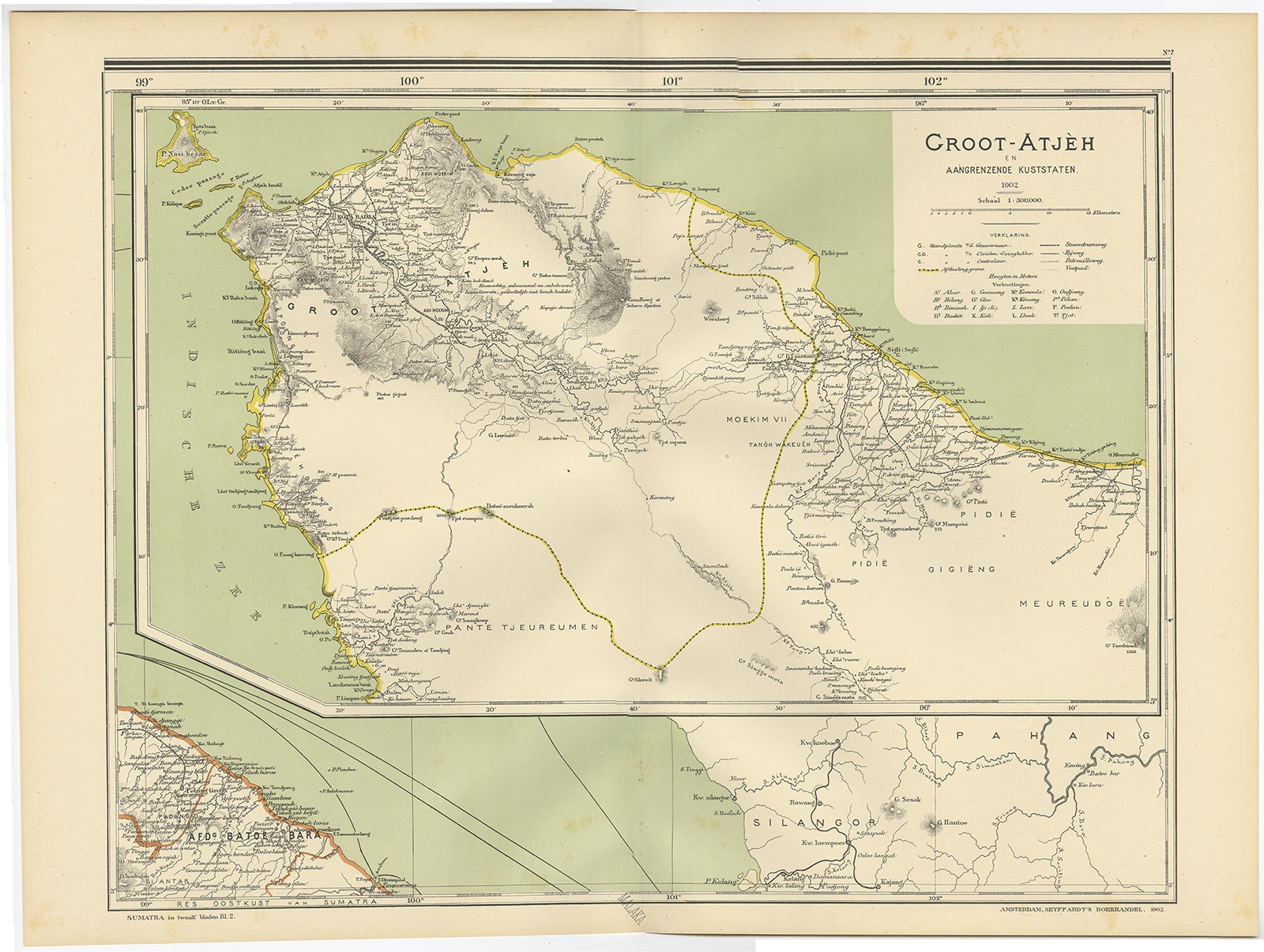
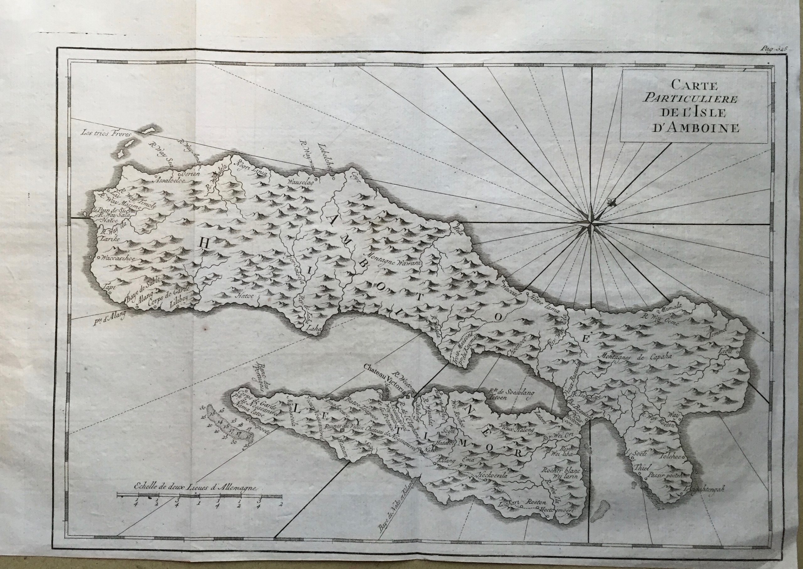
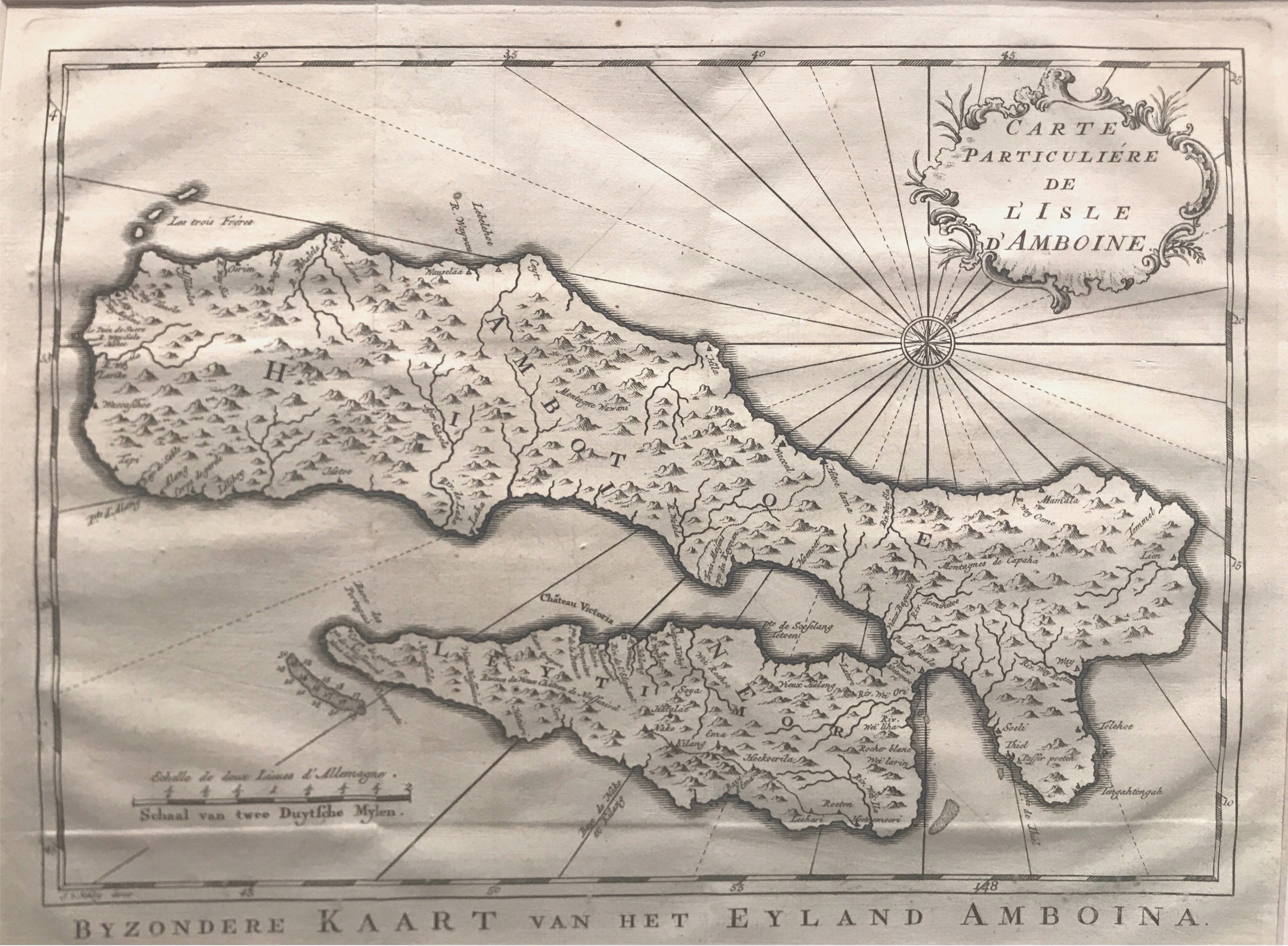
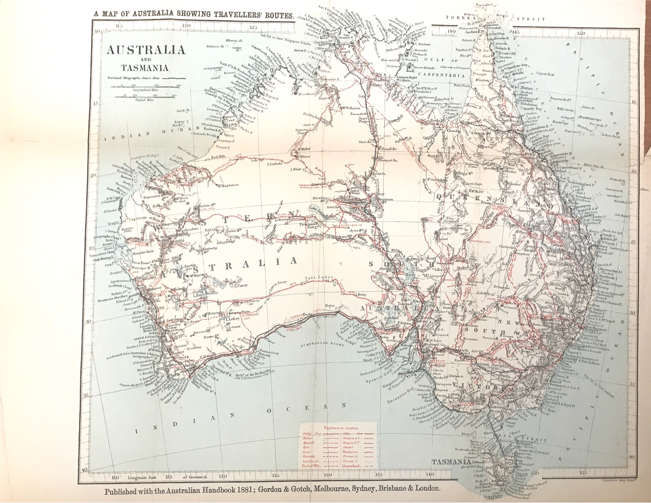
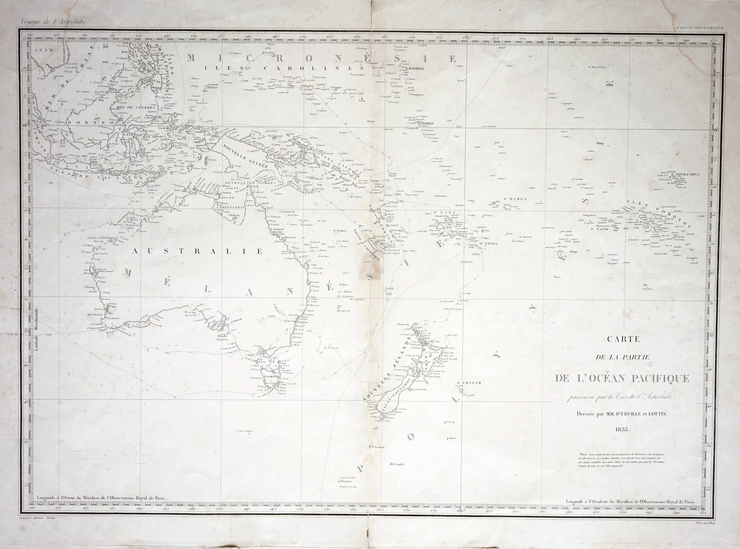
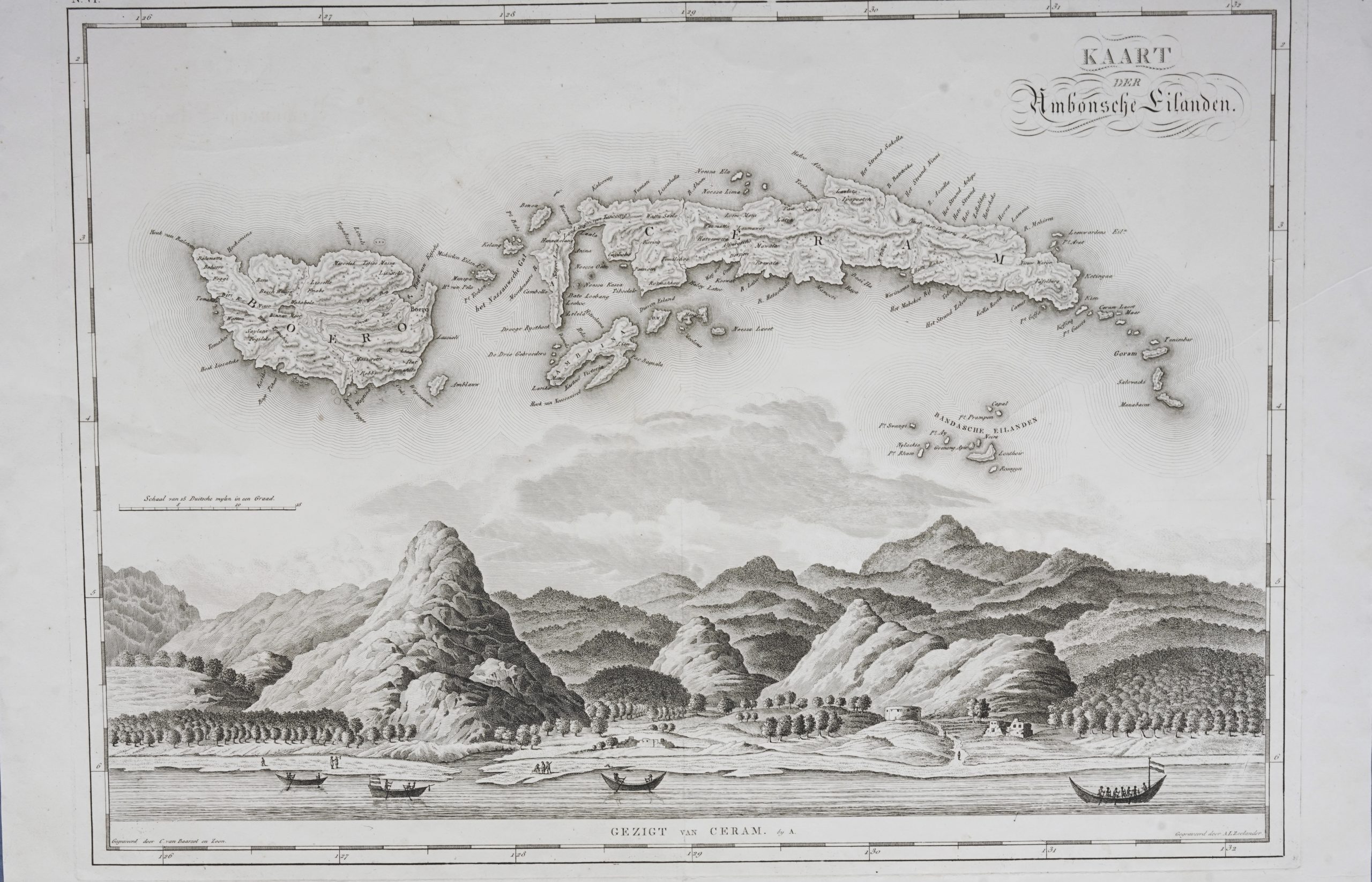
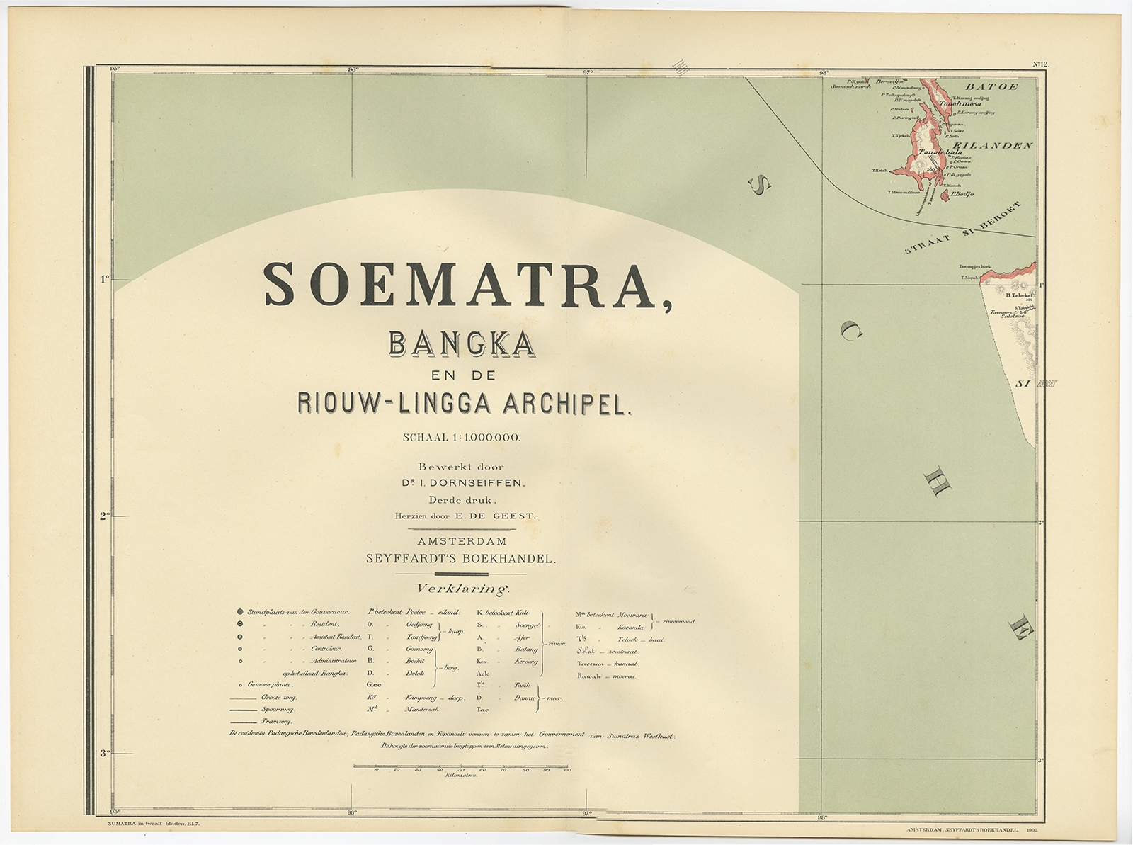
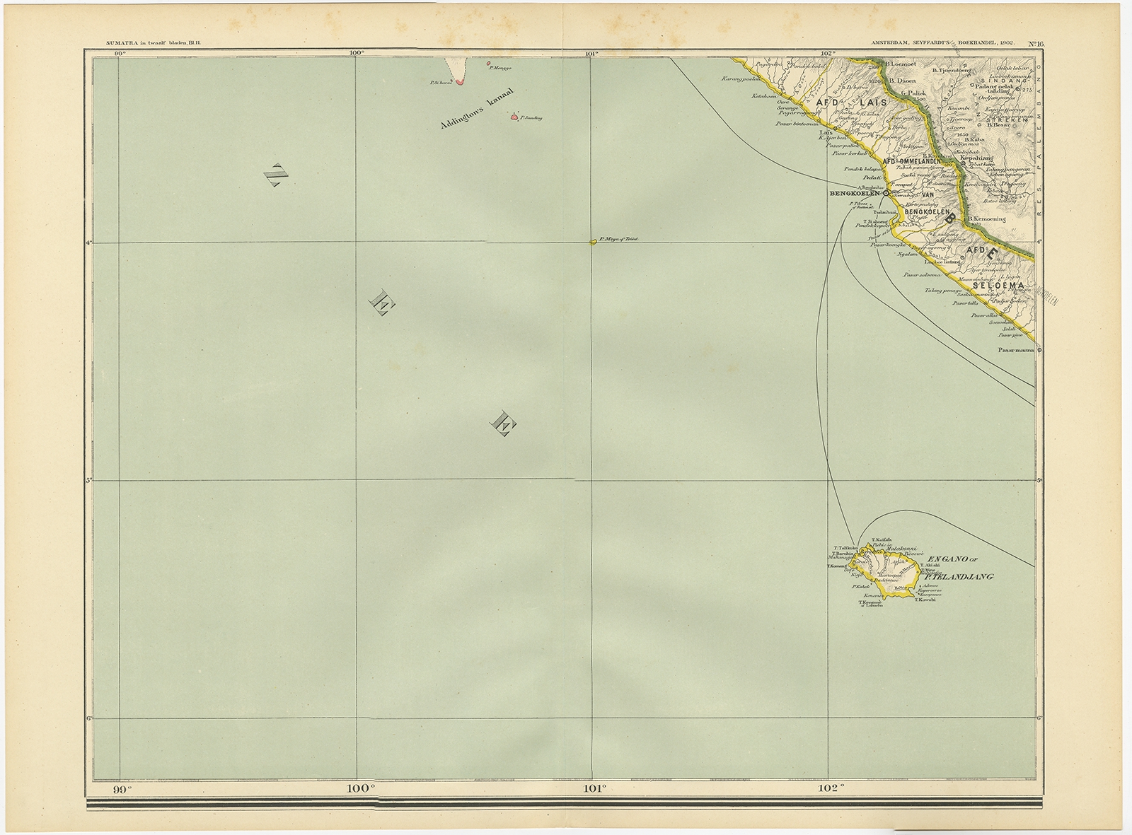
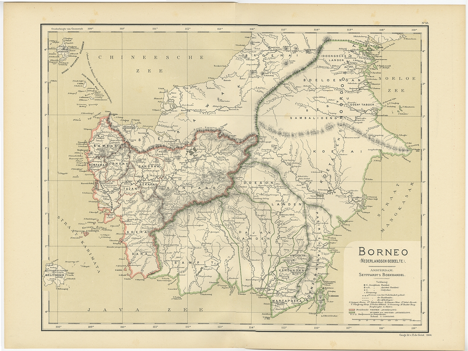
Jakarta Collection Showing 369–384 of 611 results Default sortingSort by popularitySort by latestSort by price: low to highSort by price: high to low Antique Maps, Plans & Charts Malay Archipelago or East India Islands – Tallis (c.1851) Antique Maps, Plans & Charts Map 4. Asia – De la Feuille (1753) Antique Maps, Plans & Charts Map of Aceh – Dornseiffen c.1900 Antique Maps, Plans & Charts Map of Aceh – Dornseiffen c.1900 Antique Maps, Plans & Charts Map of Ambon Island – Bellin (c.1775) Antique Maps, Plans & Charts Map of Ambon Island in Moluccas – Bellin (1775) Antique Maps, Plans & Charts Map of Australia and Tasmania – Gordon & Gotch (1881) Antique Maps, Plans & Charts Map of Australia, New Zealand and the East Indian Islands – Tardieu (c.1833) Antique Maps, Plans & Charts Map of Banda Islands and the Moluccas – van den Bosch & Baarsel (1818) Antique Maps, Plans & Charts Map of Banyuasin Regency – Dornseiffen c.1900 Antique Maps, Plans & Charts Map of Batavia – Bellin (1750) Antique Maps, Plans & Charts Map of Batavia – Van Meurs (c.1679) Antique Maps, Plans & Charts Map of Batavia – Van Schley (c.1750) Antique Maps, Plans & Charts Map of Batu Islands – Dornseiffen c.1900 Antique Maps, Plans & Charts Map of Bengkulu Region – Dornseiffen c.1900 Antique Maps, Plans & Charts Map of Borneo – Dornseiffen c.1900 ← 1 2 3 … 21 22 23 24 25 26 27 … 37 38 39 →