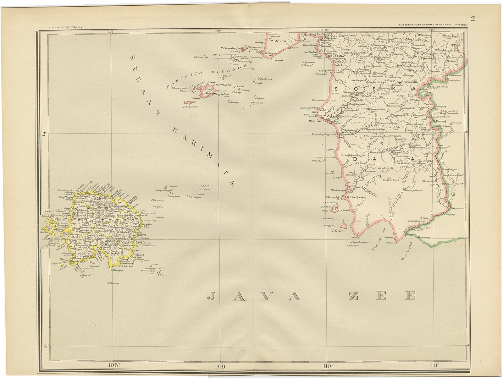
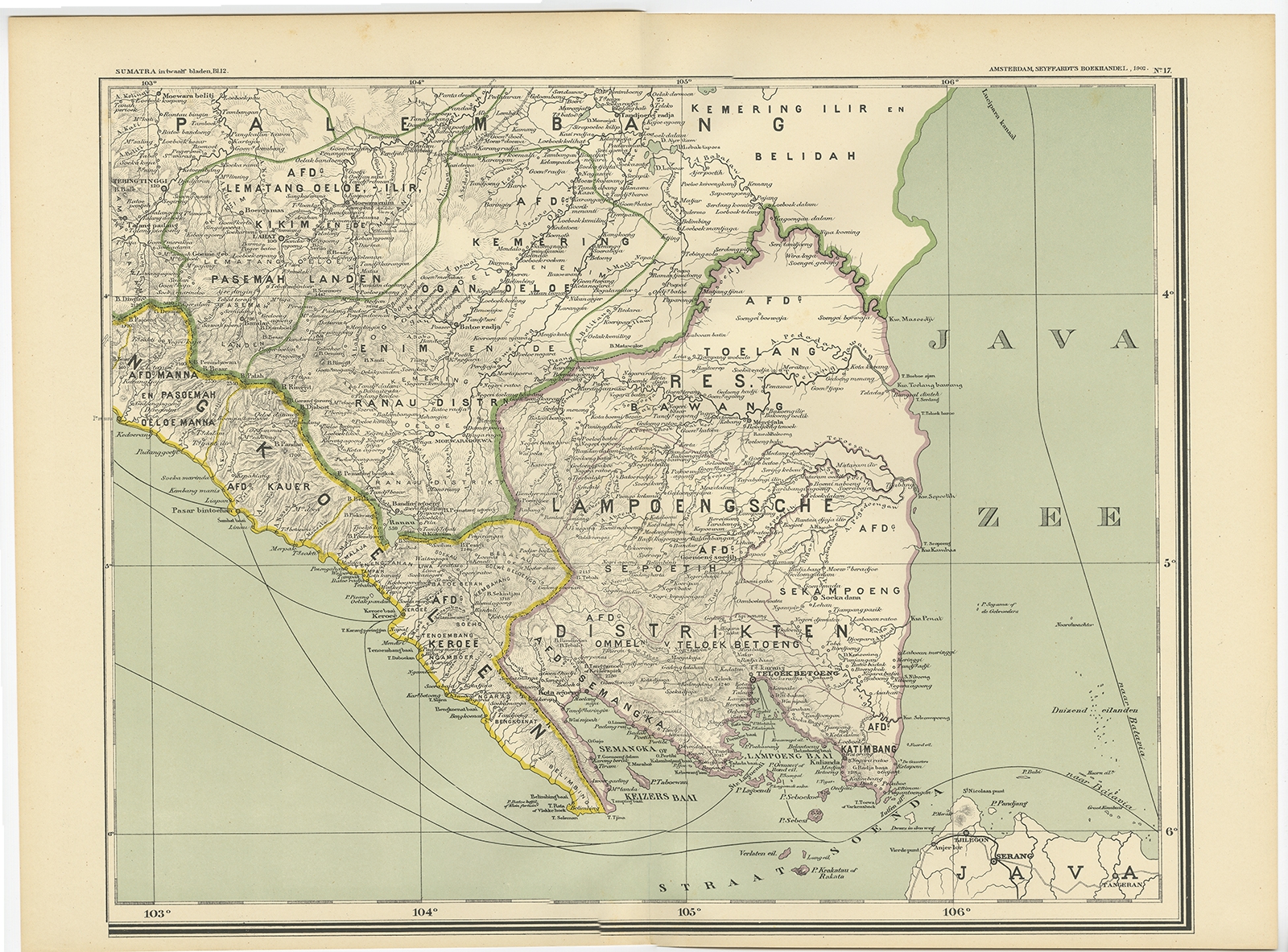
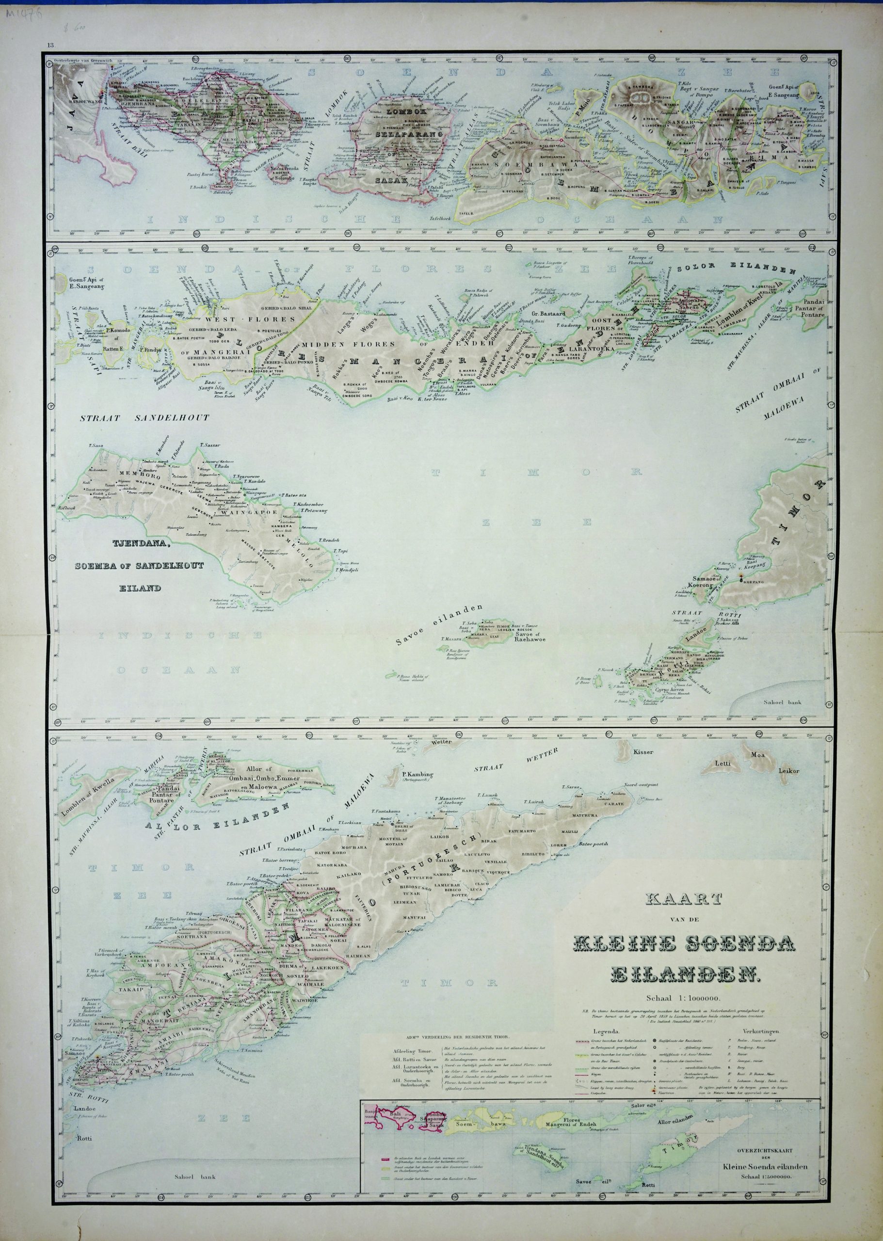
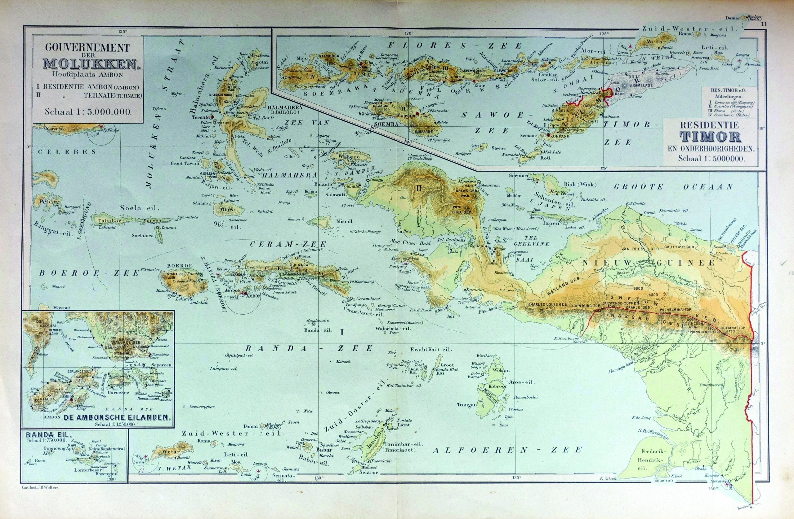
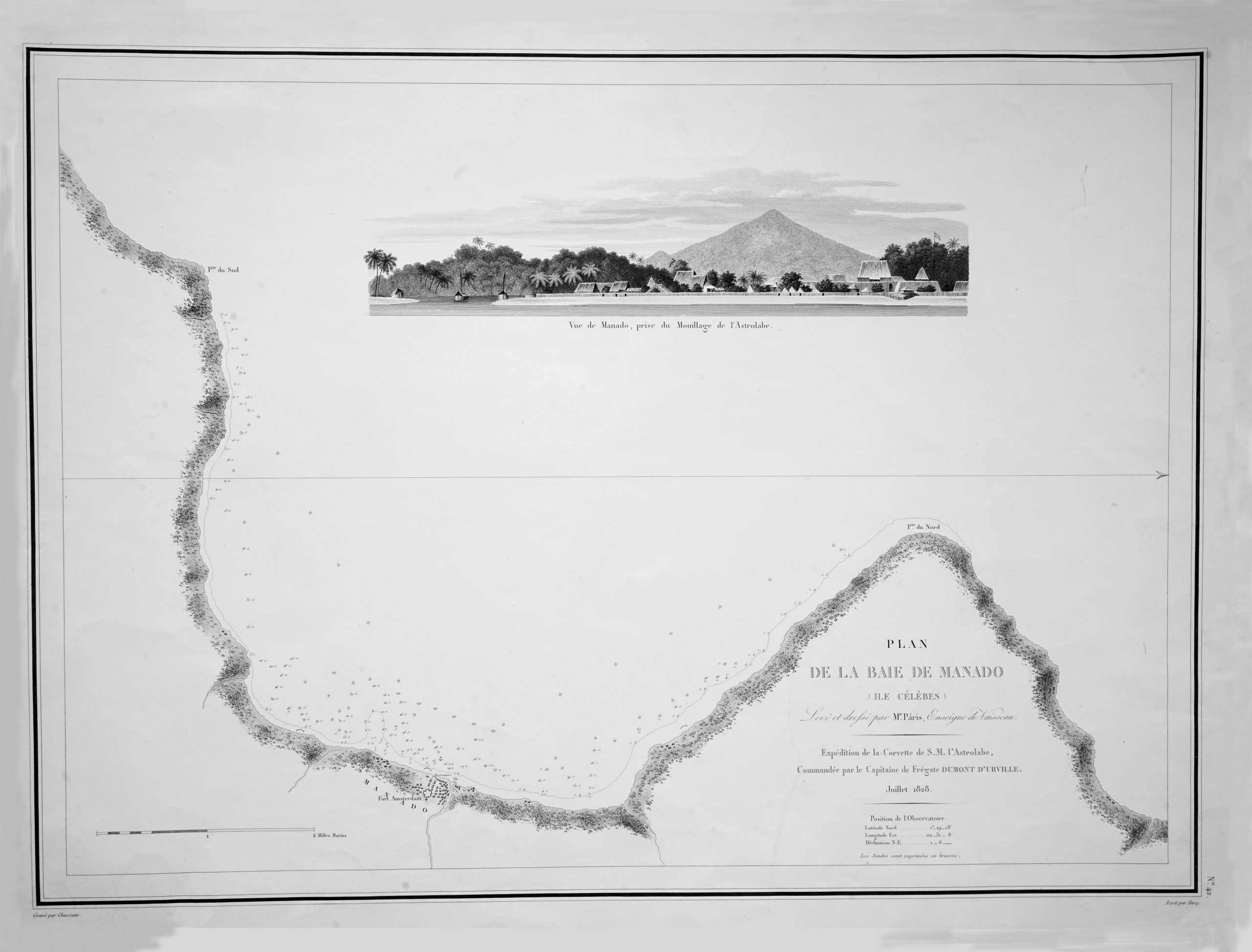
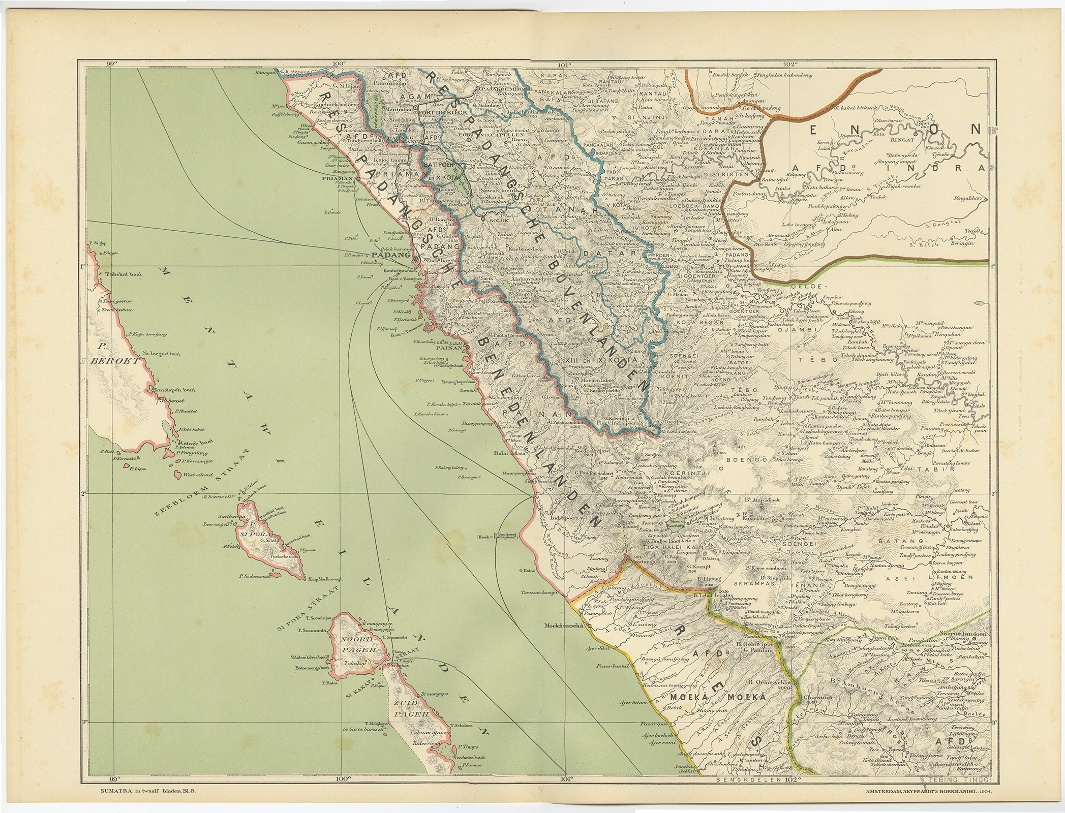
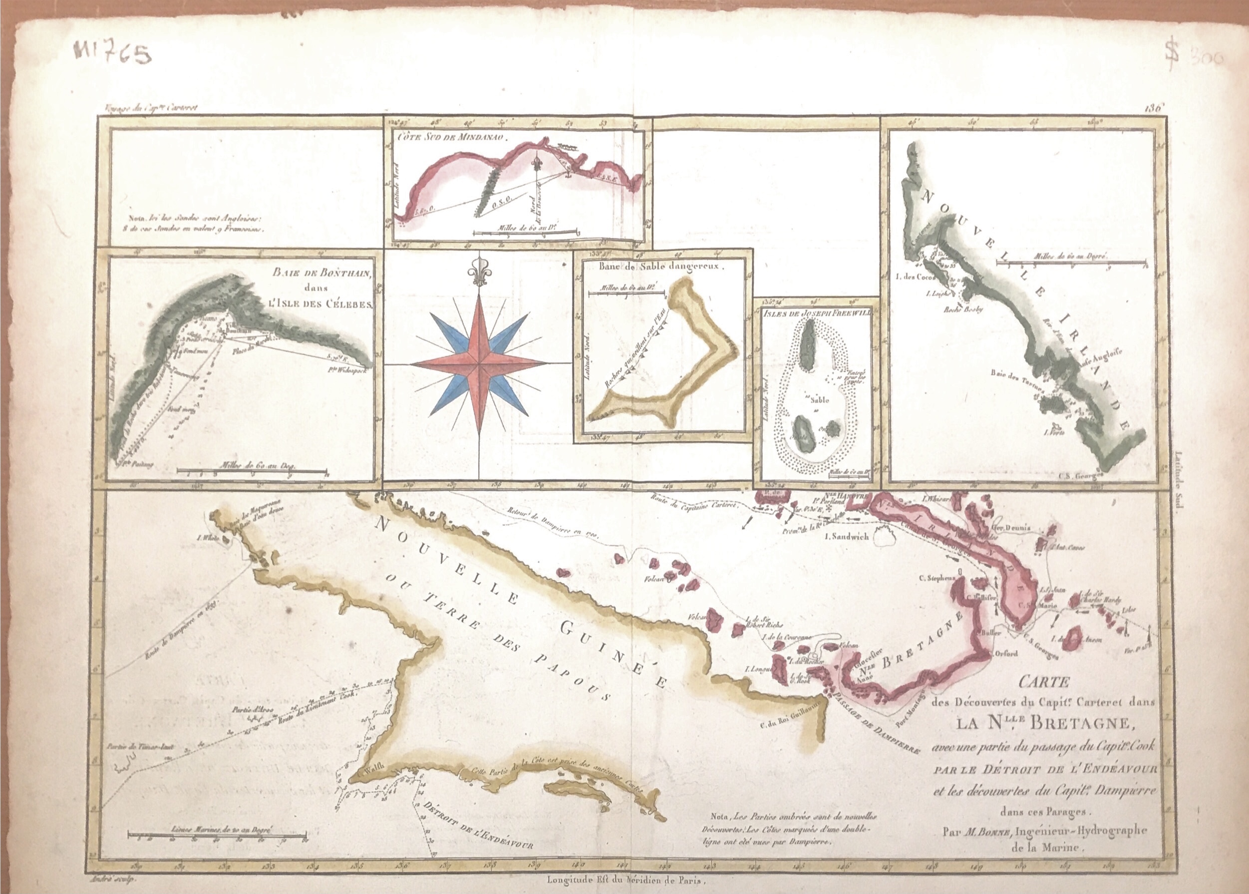
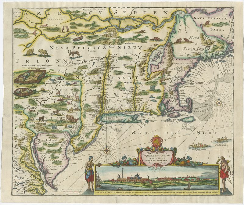
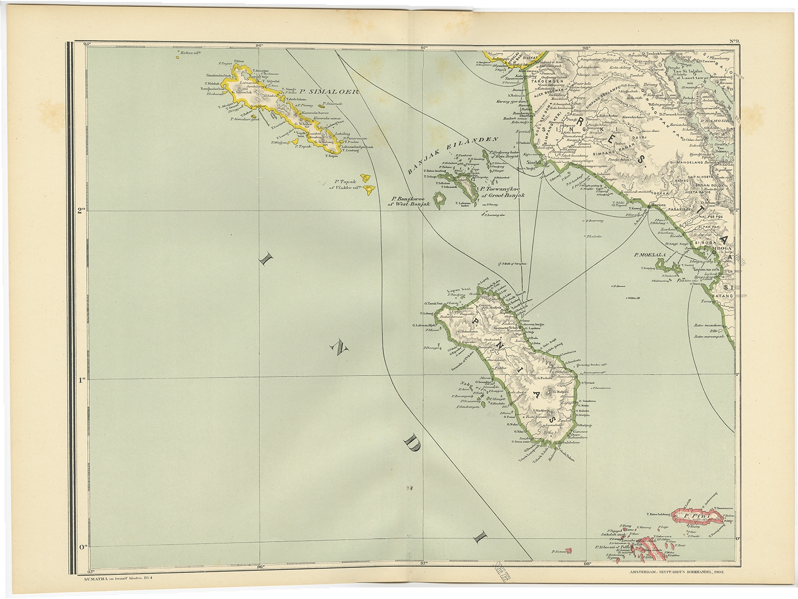
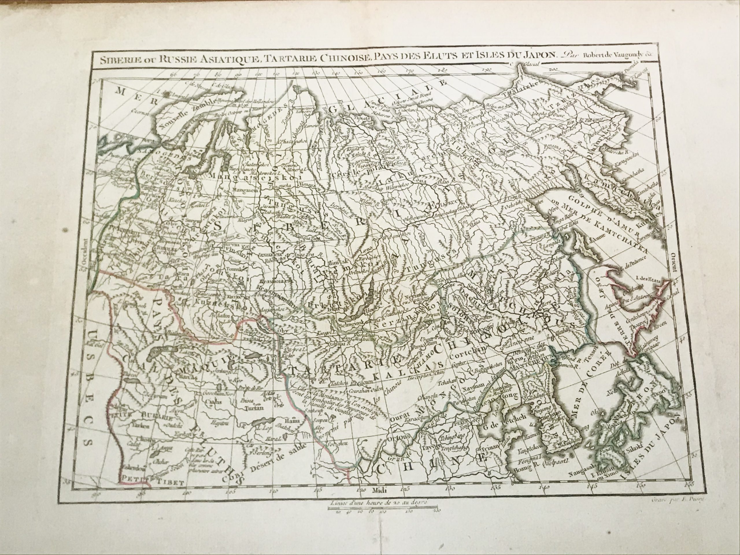
Jakarta Collection Showing 385–400 of 611 results Default sortingSort by popularitySort by latestSort by price: low to highSort by price: high to low Antique Maps, Plans & Charts Map of Celebes – Bellin/Schley (1776) Antique Maps, Plans & Charts Map of India & Ceylon – W.Hughes (c.1880-1885) Antique Maps, Plans & Charts Map of India and Ceylon – Meyer (1874) Antique Maps, Plans & Charts Map of Java and Madura – Stemfoort & Siethoff (c.1900) Antique Maps, Plans & Charts Map of Java island – Janssonius (1657) Antique Maps, Plans & Charts Map of Java Sea and Belitung Island – Dornseiffen c.1900 Antique Maps, Plans & Charts Map of Lampung regency – Dornseiffen c.1900 Antique Maps, Plans & Charts Map of Lesser Sunda Islands – Stemfoort & Siethoff (c.1883-1885) Antique Maps, Plans & Charts Map of Maluku Island – Unknown (1892) Antique Maps, Plans & Charts Map of Maluku Islands and New Guinea – Dornseiffen c.1900 Antique Maps, Plans & Charts Map of Manado Bay – Dumont d’Urville (c.1828) Antique Maps, Plans & Charts Map of Mentawai Islands – Dornseiffen c.1900 Antique Maps, Plans & Charts Map of New Guinea – Bonne & Raynal (c.1780) Batavia Map of New York (New Amsterdam) – Danckerts (1653-1655) Antique Maps, Plans & Charts Map of Nias Island – Dornseiffen c.1900 Antique Maps, Plans & Charts Map of Northern Asia – Delamarche c.1794 ← 1 2 3 … 22 23 24 25 26 27 28 … 37 38 39 →