Skip to content
Maps of Asia
Dutch East Indies
Jakarta Collection
Visit Us
Contact
Shop Online Worldwide
Shop Online Worldwide
Maps of Asia
Dutch East Indies
Jakarta Collection
Visit Us
Contact
Home
/
Products tagged “Antique Maps”
/ Page 30
Antique Maps
Showing 349–360 of 830 results
Default sorting
Sort by popularity
Sort by latest
Sort by price: low to high
Sort by price: high to low
Jakarta Collection
Chart showing the track of the Flagships.. – Perry (1855)
Jakarta Collection
China and the Birman Empire (..) – Walker (1834)
Jakarta Collection
Chloris – Sepp & Nozeman (1770)
Jakarta Collection
Coast of Tenasserim – Anonymous (c.1790)
Jakarta Collection
Constantinopolen – Galata – De Bruyn (1698)
Jakarta Collection
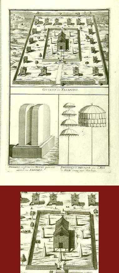
Convent of Talapoins – Anonymous (1730)
Jakarta Collection
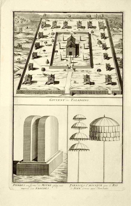
Convent of Talapoins – B. Picart (1728)
Jakarta Collection
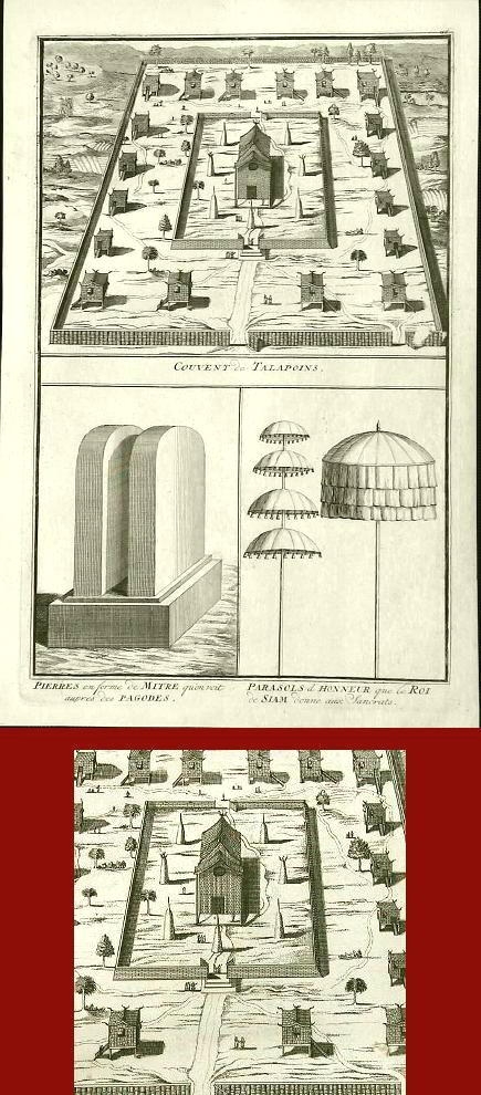
Convent of Talapoins II – Anonymous (1730)
Jakarta Collection
Corvus, Monedula – Sepp & Nozeman (1797)
Jakarta Collection
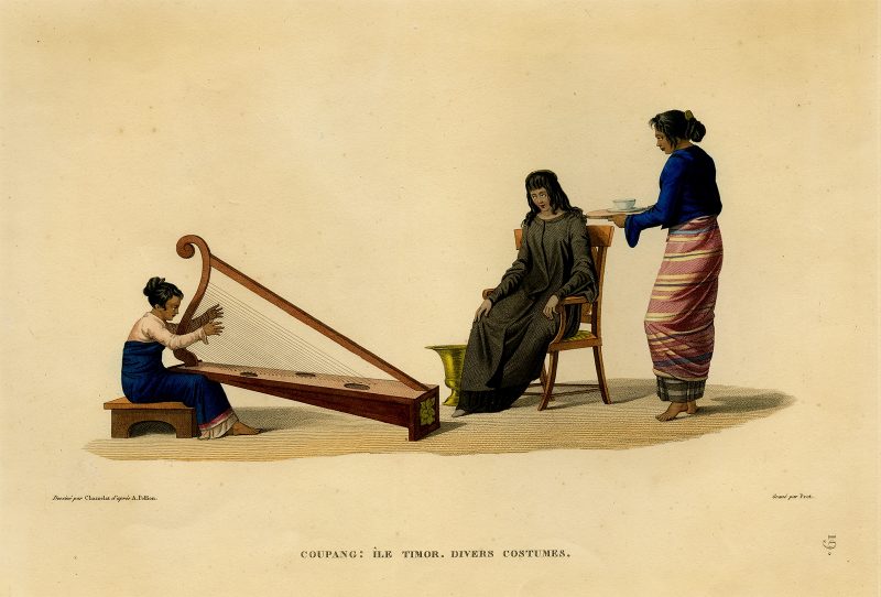
Coupang: Ile Timor. Divers Costumes – Prot (1825)
Jakarta Collection
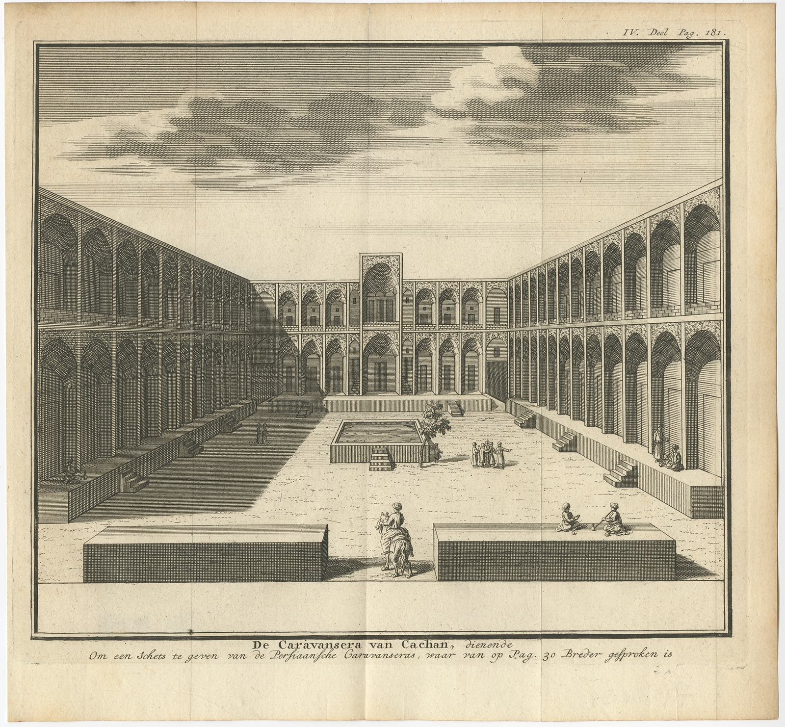
De Caravansera van Cachan – Salmon (1732)
←
1
2
3
…
27
28
29
30
31
32
33
…
68
69
70
→
Visit Gallery
WhatsApp
Shop Online
Location
Scroll to Top