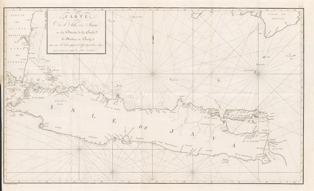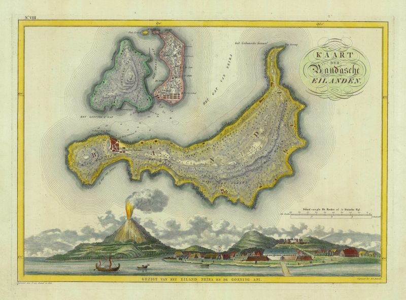
Antique Map Banda Islands by Van Baarsel (1818)
Antique Map Banda Islands titled ‘KAART DER Bandasche EILANDEN’.
Attractive early 19th century coloured Dutch map of the Banda Islands, the only source of nutmeg and mace in the world up to the end of the 18th century. Engraved by Cornelis van Baarsel (1761-1826) and son (William Cornelis van Baarsel 1791-1854) with coastal view engraved by A.L. Zeelandeer published in the atlas that was part of the publicationNederlandsche bezittingen in Azie, America en Africa: wijsgerig, staathuishoudkundig en geographisch beschouwd met eenen altas van kaarten. ‘s-Hage en Amsterdam : de Gebroeders van Cleef, 1818 by Baron Johannes (Jan) van den Bosch (1780-1844) of The Hague and Batavia. The atlas consisted of 12 maps of Dutch overseas colonies including nine of the Dutch East Indies (Indonesia), one of Surinam, one of Curacao and one of Guinea. Two editions of Atlas der Overzeesche Bezittingen ….. were published by Gebroeders van Cleef in Amsterdam between 1817 and 1818 in Dutch. This was the first atlas to cover the Dutch East Indies after the territories were handed back to the Dutch following the defeat of Napoleon at Waterloo in 1815 and the end of the British administration of Java under Stamford Raffles in 1816. Map No. VIII.
Excellent condition; measures 362 X 510 mm.
Purchase code : M1784