Jakarta Collection
Antique Map of Oceania by Lapie (1842)
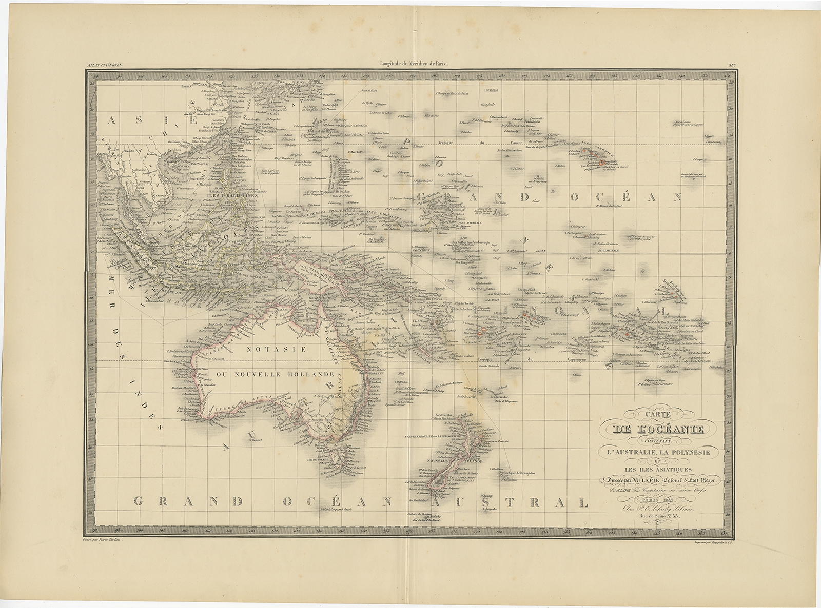
Description: Antique map titled ‘Carte de l’Océanie contenant l’Australie, la Polynesie et les Iles Asiatiques’. Map of Oceania including Australia, Polynesia and several islands of Asia. This map originates from ‘Atlas universel de géographie ancienne et moderne (..)’ by Pierre M. Lapie and Alexandre E. Lapie.
Artists and Engravers: Pierre M. Lapie was a French cartographer and engraver. He was the father of cartographer Alexandre Emile Lapie.
- Date: 1842
- Overall size: 68 x 50.5 cm.
- Image size: 54.5 x 40.5 cm.
- Condition: Good, general age-related toning. Original folding line, blank verso. Please study image carefully.
- Purchase code: BG-12338-38
- Price: 259,5 Euro / 305 USD / 4.420.000 IDR