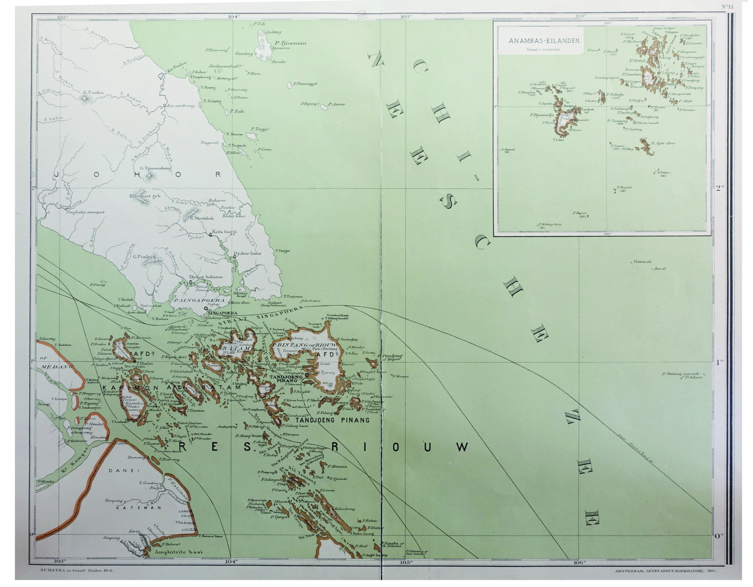
Antique Map of part of the East Indies by Dornseiffen (1899)
Untitled map of part of the East Indies. This map is sheet 6 of the Sumatra maps. It depicts the Riau islands and includes an inset map of the Anambas Islands, Indonesia. Anambas Islands Regency (Indonesian: Kabupaten Kepulauan Anambas) is a small archipelago of Indonesia, located 150 nautical miles northeast of Batam Island in the North Natuna Sea between the Malaysianmainland to the west and the island of Borneo to the east. Geographically part of the Tudjuh Archipelago, it is administratively a regency within the Riau Islands Province. This map originates from ‘Atlas van Nederlandsch Oost- en West-Indie’, by Dr I. Dornseiffen, published by Seyffardt’s Boekhandel, Amsterdam.
Condition: Very good, please study image carefully.
Size: 52 x 40 cm.
Purchase code : BGJC-011


