Jakarta Collection
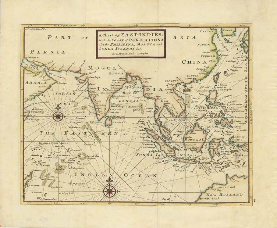
Antique Map of the East Indies by Moll ‘1745’
Antique map titled ‘A Chart of ye East-Indies. With the Coast of Persia, China also the Philipina, Moluca and Sunda Islands’. Detailed map of the Indian Ocean, Southeast Asia, China, Formosa, the Philippines and part of Australia. This map originates from ‘A Collection of Voyages and Travels’ by T. Osborne.
Condition: General age-related toning, minor wear. Blank verso, please study images carefully.
Dimensions: 43 x 35.5 cm.
Purchase code : BGJC-361