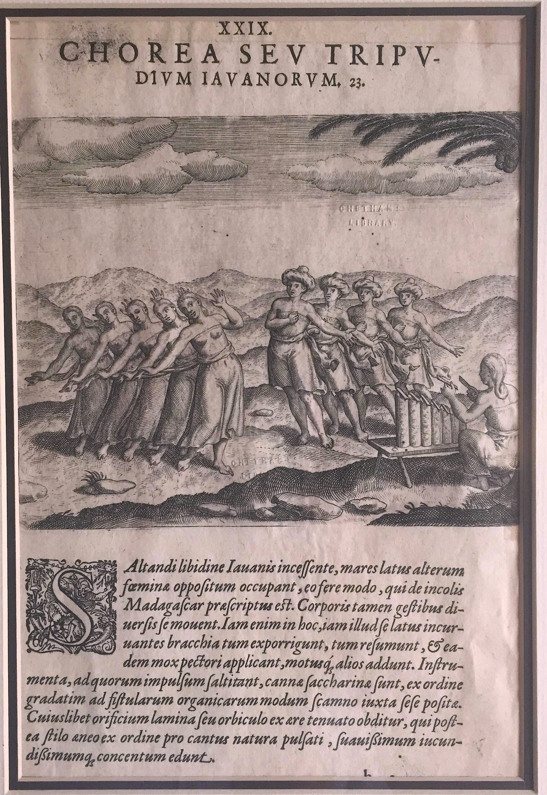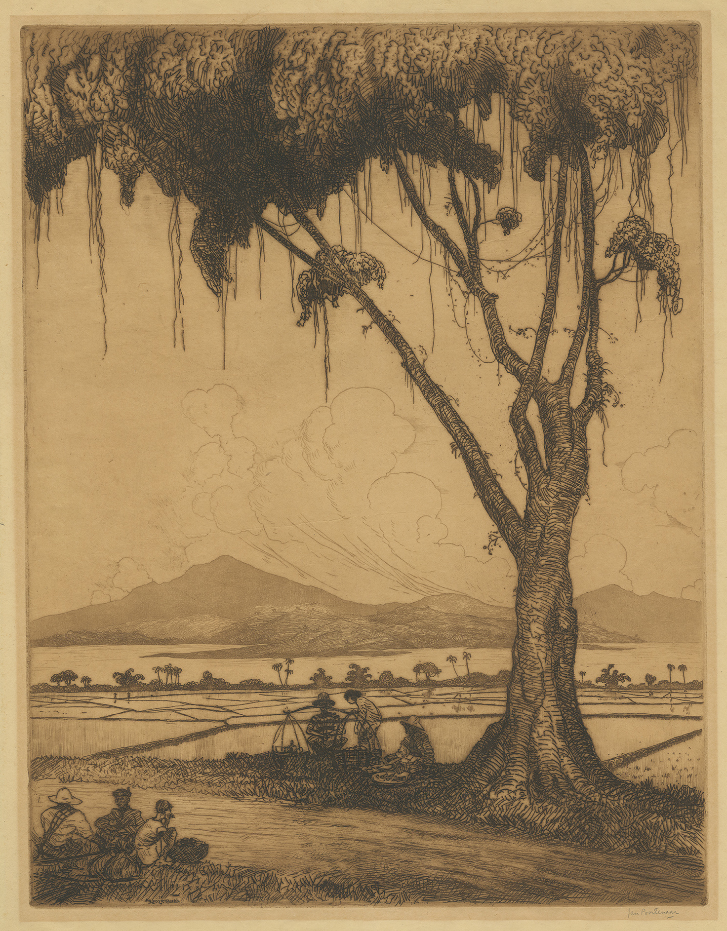
Jakarta Collection
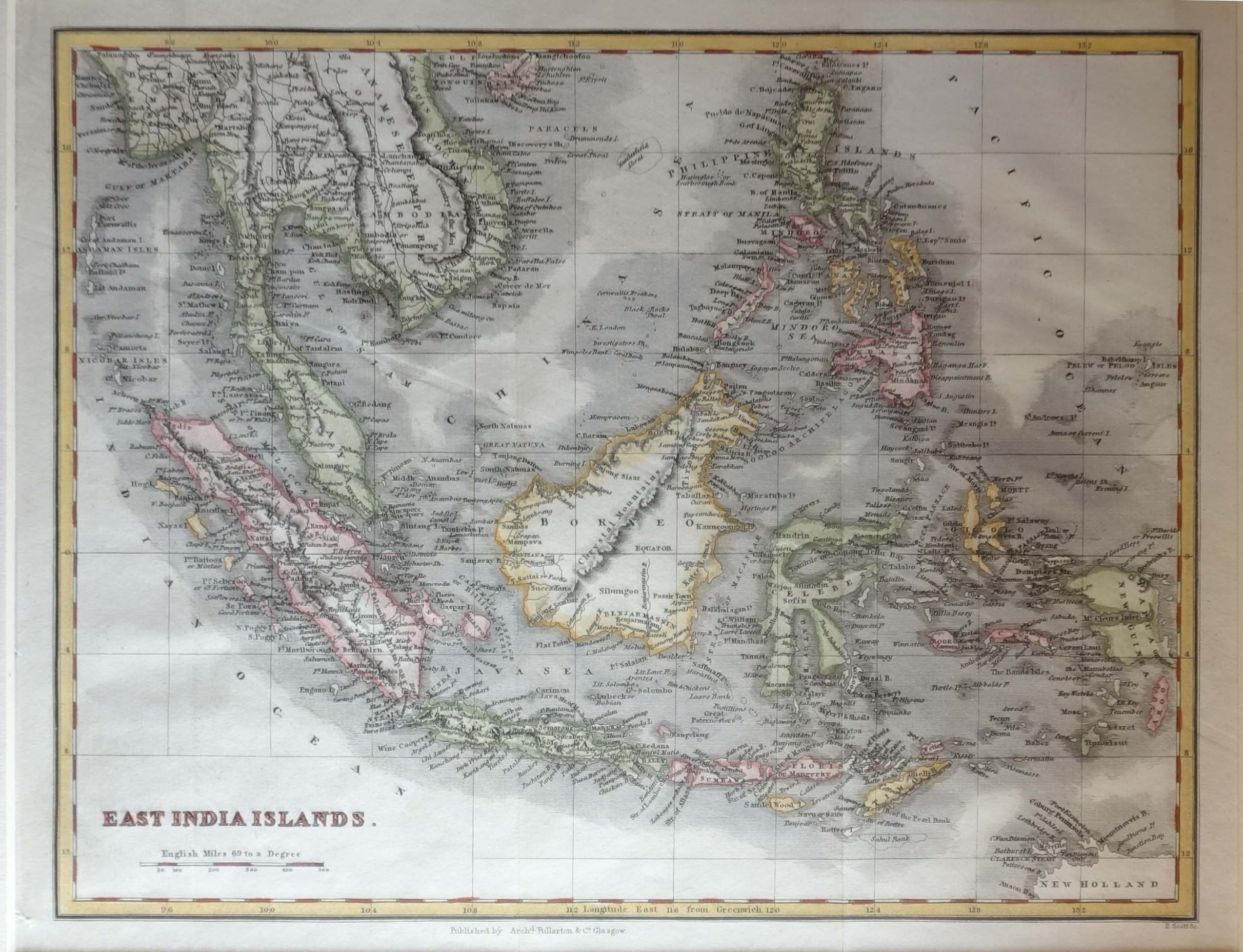
Antique Map of the East Indies by Scott (c.1840) – SOLD
Antique Map of the East Indies by Scott titled ‘East India Islands’. Antique map of the East Indies (modern day Indonesia and the Philippines) which was engraved by R. Scott and published in James Bell’s ‘A System of Geography’ (Glasgow & Edinburgh: Blackie, Fullarton & co., c.1830-1846).
James Bell (1769 – 3 May 1833) was a Scottish geographical author.
Condition: Very good, please study image carefully.
Overall size: 39 x 33 cm (including passe-partout)
Image size: 27 x 21 cm.
Purchase code : M0552
SOLD