Jakarta Collection
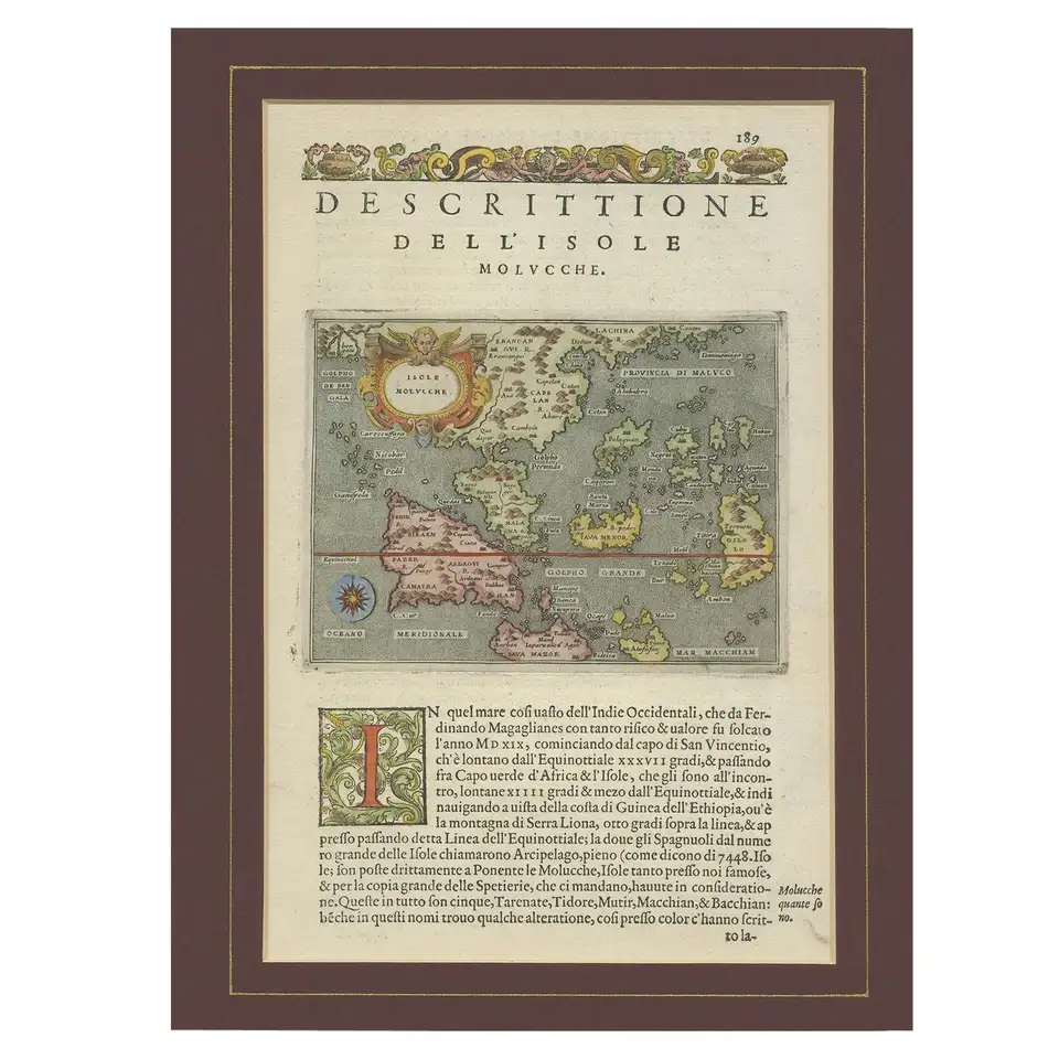
Antique Map of the Moluccas by Porcacchi, ‘circa 1620’
Antique map titled ‘Isole Molucche’. The map depicts the East Indies and Indochina, including modern-day Indonesia and the Philippines. The area covered stretches from the Bay of Bengal, in the worth west, to southern China and Canton, in the north east. The map is orientated towards the north. Originates from ‘L’Isole Piu Famose del Mondo’. Passe-partout included.
Condition: Minor wear, Latin text on verso. Passe-partout included. Please study image carefully.
Dimensions: 27 x 37 cm.
Purchase code : RK-1020
770,00 Euro
920,00 USD
IDR 13.200.000