Description
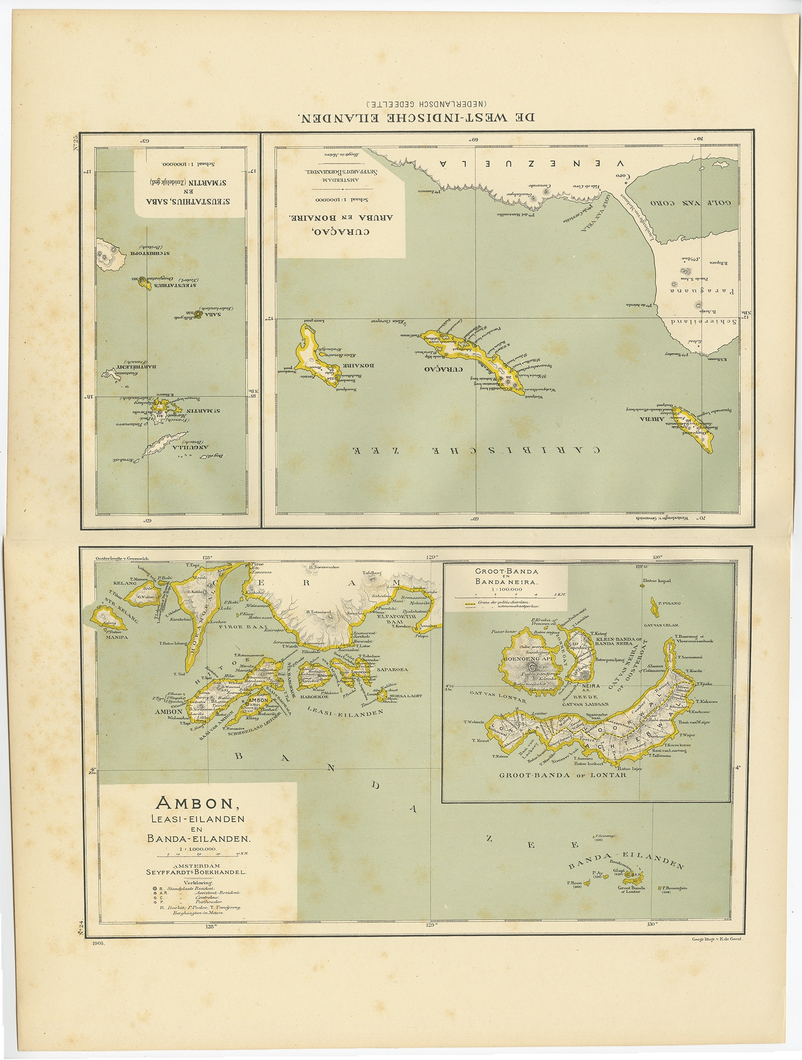
Description: Two maps on one sheet titled ‘De West-Indische Eilanden (Nederlandsch Gedeelte)’ and ‘Ambon, Leasi-Eilanden en Banda-Eilanden’. Old map of the Dutch West Indies and Ambon Island, Indonesia. This map originates from ‘Atlas van Nederlandsch Oost- en West-Indië’ by I. Dornseiffen.
Artists and Engravers: Published by Seyffardt’s Boekhandel, Amsterdam.
- Date: 1900
- Overall size: 38.7 x 51.9 cm.
- Image size: 33.6 x 42 cm.
- Condition: Very good, general age-related toning. Please study image carefully.
- Purchase code: BG-06669-24