Antique Map South-East Asia by De Wit (c.1670)
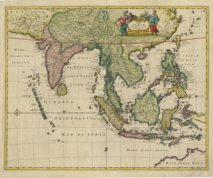
Antique Map South-East Asia by De Wit titled ‘Tabula Indiae Orientalis. Emendata a F. De Wit’.
Attractive hand coloured mid- to late 17th century map covering all South East Asia. The map encompasses the region from India to Southern China, Taiwan and the Philippines with parts of Northwest Australia identified as Hollandia Nova. Attractive title cartouche top right surrounded by turbaned warriors and native figures.
Engraved by Joannes Lhuilier of Amsterdam for Frederick de Wit (1603 – 1706) and published in De Wit’s world atlas, “Atlas sive description Terrarum Orbis” around 1670. Frederick De Wit, an apprentice of William Blaeu, founded his own printing house in Amsterdam in 1648 and became one of the most prominent and successful map engravers and publishers in Amsterdam following the decline of the Blaeu and Jansson establishments.
Artist: F. de Wit
Year: c.1670
Purchase Code: M2394


