Jakarta Collection
Bali and Nusa Penida Island – Anonymous (1917)
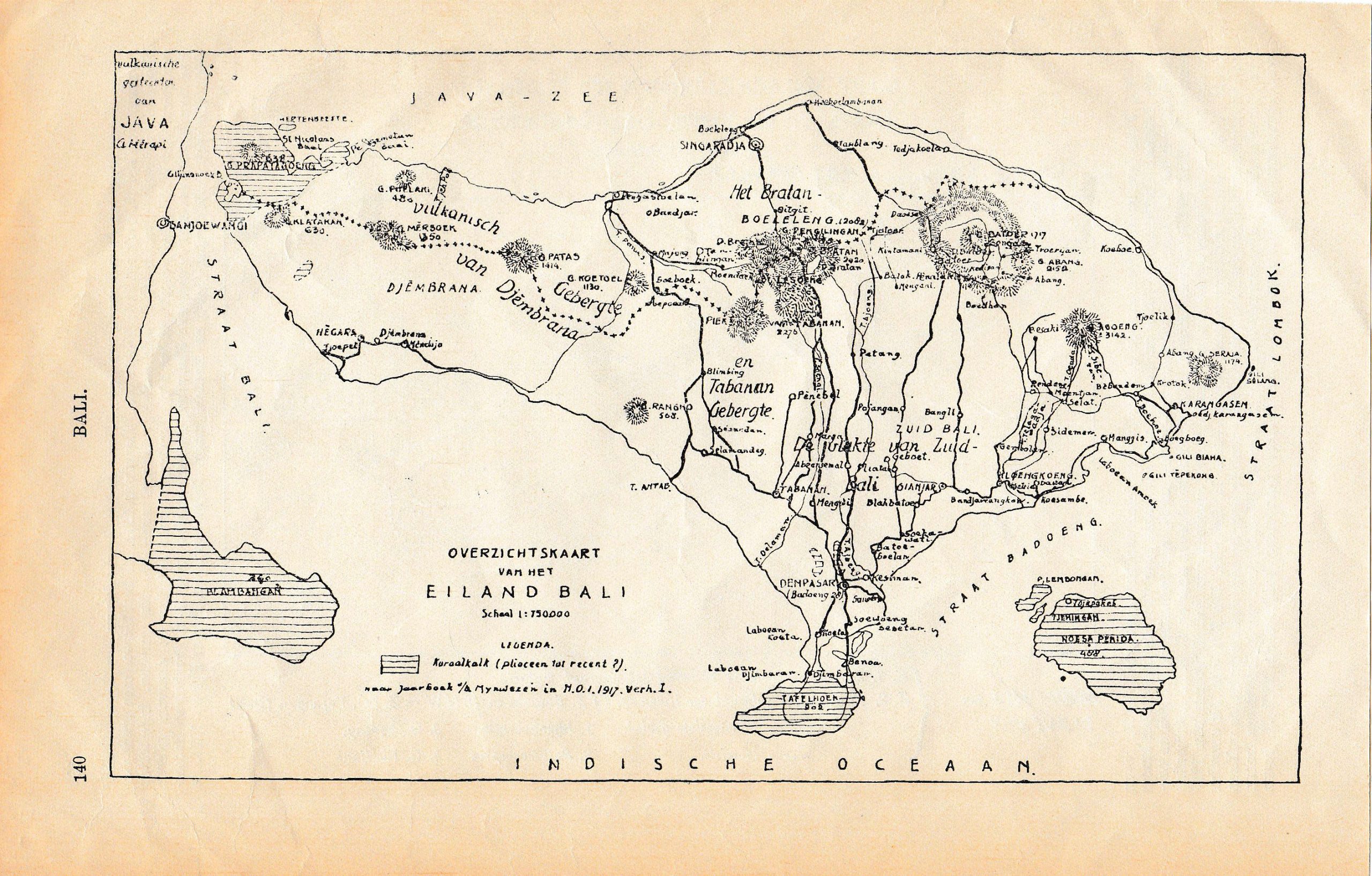
This small detailed map showing the Bali region also with Nusa Penida island, and a glimpse of eastern Java on the side. Surrounded by Indian Ocean.
An early 20th century antique map of Bali island titled ‘Overzichtskaart van het Eiland Bali – Schaal 1:750000’ by anonymous, in Dutch version. Yet this small detailed map showing the Bali region also with Nusa Penida island, and a glimpse of eastern Java on the side. Surrounded by Indian Ocean.
- Date: 1917
- Overall size: 24 x 15 cm.
- Condition: Very good, age related toning. Please study scan carefully.
- Purchase code : M1304

