Antique Maps, Plans & Charts, Asia, Asia Continent, East Asia, India & Ceylon, Indonesia, Java, Southeast Asia (Rest of)), Sumatra, West Asia
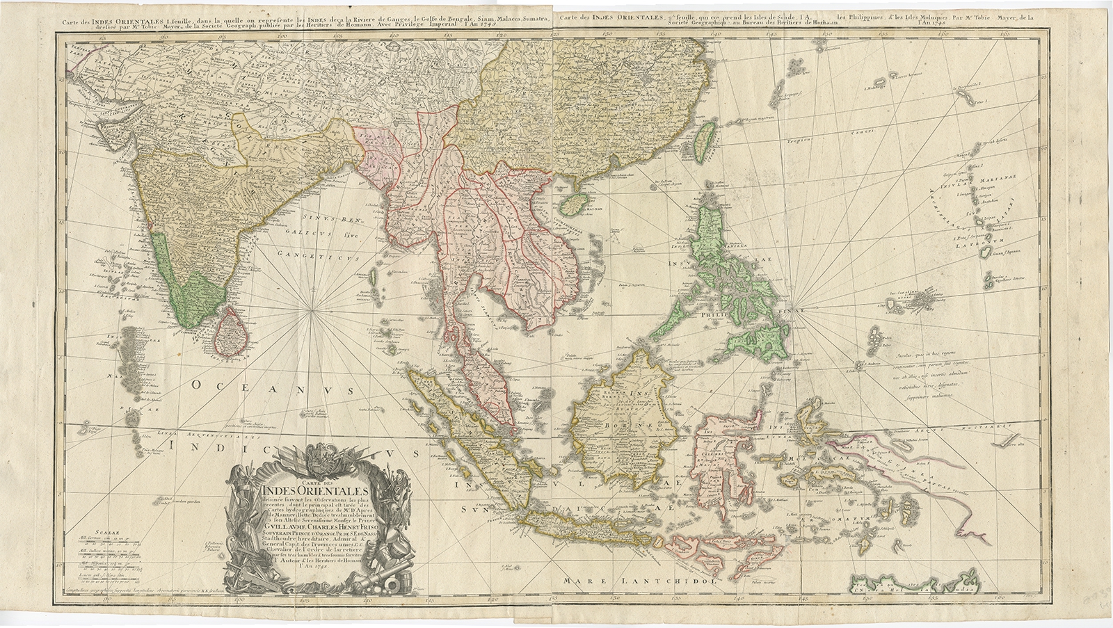
Carte des Indes Orientales (..) – Homann Heirs (1748)
Description: Antique map South East Asia titled ‘Carte Des Indes Orientales dessinee suivant les Observations les plus recentes dont le principal est tiree des Cartes hydrographiques de Mr. D’Apres de Mannevillette’. Large chart of the East Indies, two conjoined sheets. The first sheet shows India as far north as Delhi, across to Assam, Burma, Thailand, Laos, Vietnam, Malaysia, Singapore and Sumatra. The second sheet covers eastern China, and Formosa, the Philippines, Borneo, Java, the Celebes, the Moluccas, Timor, Papua New Guinea, and the very tip of northern Australia.
Artists and Engravers: Homann Heirs was a German publishing firm that enjoyed a major place in the European map market throughout the eighteenth century.
- Date: 1748
- Overall size: 96 x 54 cm.
- Image size: 86 x 51 cm.
- Condition: Good, folding lines repaired. Two conjoined sheets, please study image carefully.
Ships worldwide from The Netherlands


